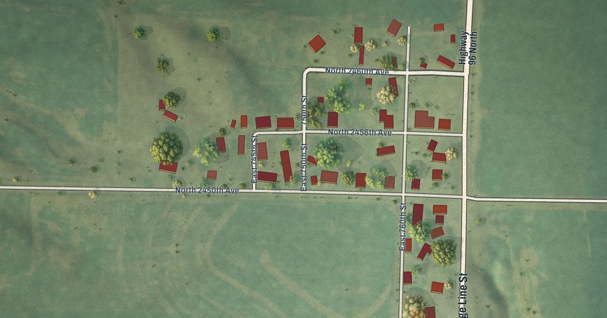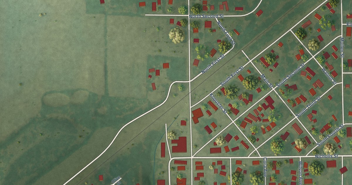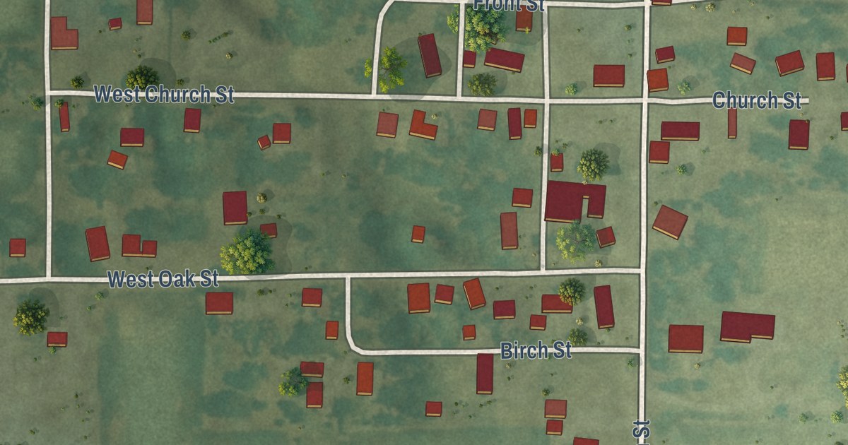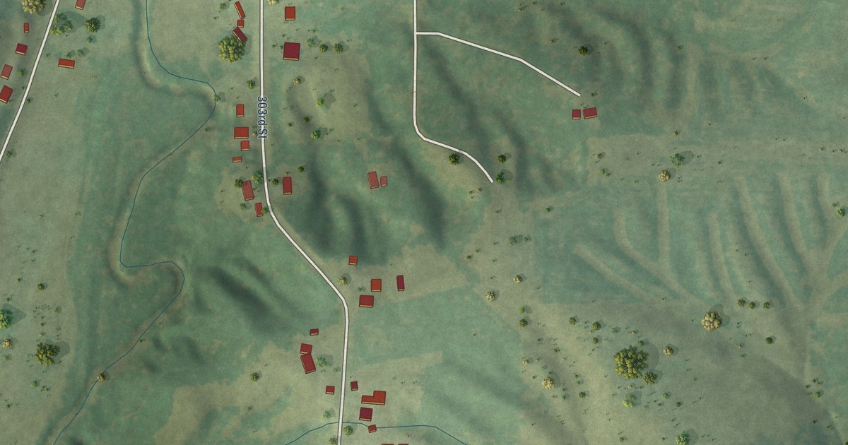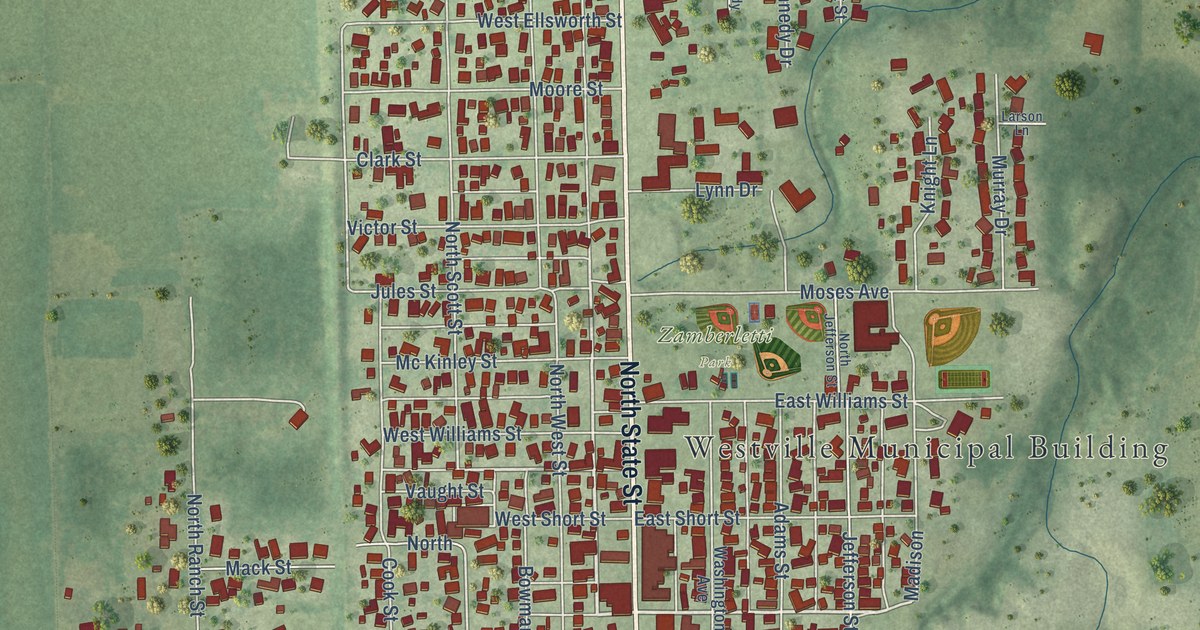
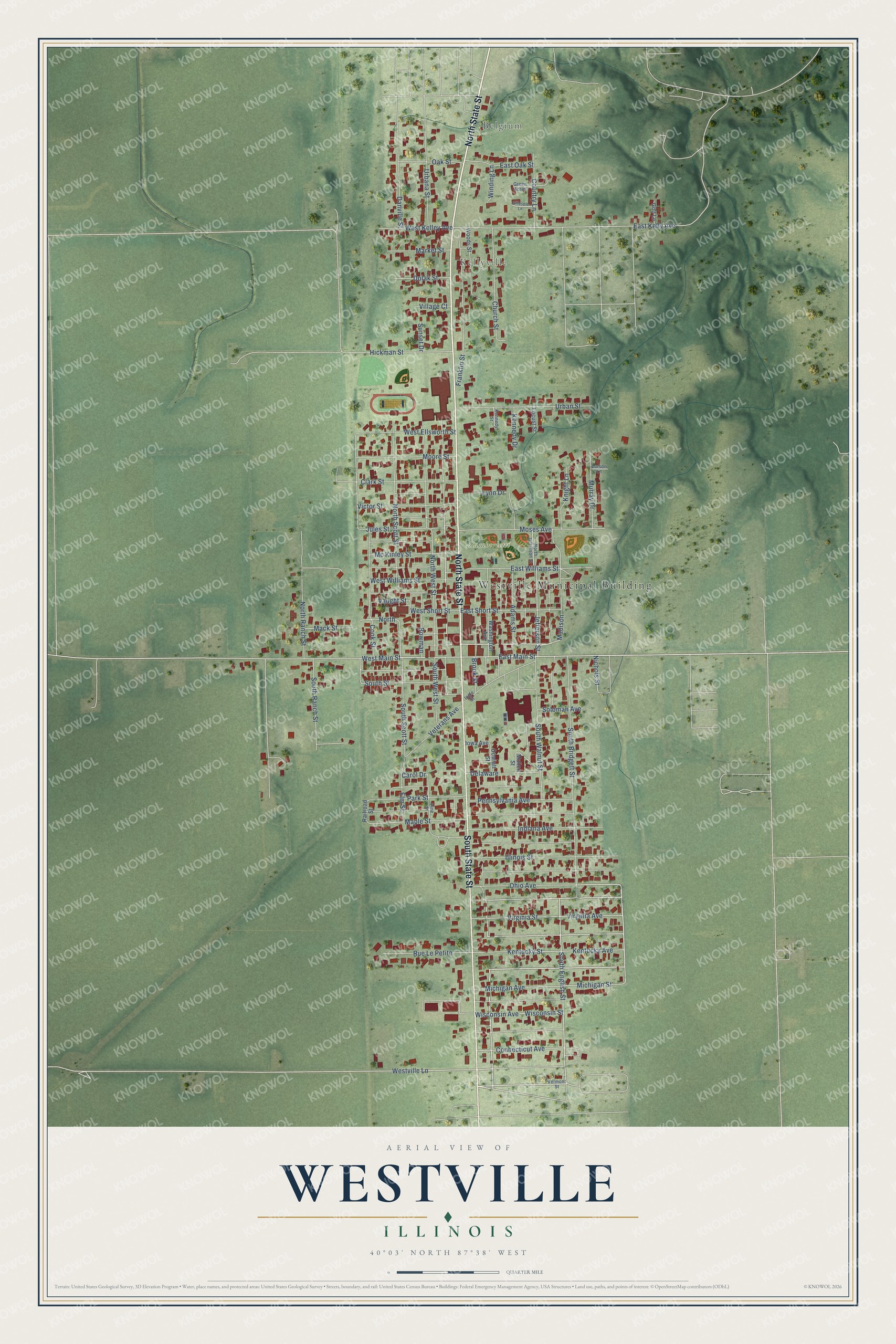
This beautifully detailed map of Westville, Illinois was created in 2026 using aerial imagery combined with modern topographical, census, street and landmark data. It’s a one-of-a-kind view of Westville that combines accurate data with a vintage aesthetic. The map shows every building in its true location, many of the roads carry their names, and the shaded topographic relief shows the shape of the land.
Explore an aerial view of Westville, Illinois
On the map you’ll find Westville Municipal Building, Belgium, Kellyville, and Zamberletti Park, along with North State Street, South State Street, Ohio Avenue, East Main Street, West Main Street, South English Street, Westville Lane, Nichols Street, and more. If you look closely you can even find your house accurately drawn in its correct location. Zoom in on the preview to look for yours.
Did you know this piece of Westville, Illinois history?
From the Vermilion County History: "Charles Brooks, who is the efficient and well known cashier of the First National Bank of Westville, is a native of this place. He was born December 11, 1885."
Take a closer look at the Westville map
Street and place names on the Westville, Illinois map
These names are printed on the map of Westville, Illinois.
Places: Westville Municipal Building, Belgium, Kellyville and Zamberletti Park.
Streets and roads: North State Street, South State Street, Ohio Avenue, East Main Street, West Main Street, South English Street, Westville Lane, Nichols Street, East Kelly Avenue, North Scott Street, Cook Street, Carol Drive.
More street names, A to Z
Adams Street, Bowman, Brook Street, Church Street, Clark Street, Connecticut Avenue, Country Lane, Danville Street, Delaware, Dolak Street, Dowiatt Street, East Oak Street, East Short Street, East Williams Street, Elm Street, Franklin Street, Gillespie Lane, Golf Lane, Green Acres, Hickman Street, Illinois Street, Indiana Avenue, Ingle Street, Iowa Avenue, Jefferson Street, Jules Street, Kennedy Drive, Kennedy Street, Kentucky Avenue, Kentucky Street, Knight Lane, Larson Lane, Locust Street, Lynn Drive, Mack Street, Madison, Maple Street, Market Street, Mc Kinley Street, Michigan Avenue, Michigan Street, Moore Street, Moses Avenue, Mullen Street, Murray Drive, North, North Jefferson Street, North Ranch Street, North West Street, Oak Street, Park Street, Pennsylvania Avenue, Pine Street, Railroad Street, Rue Le Petite, Soloman Avenue, South Bridgett Street, South Ranch Street, South Scott Street, South Street, South Walnut Street, South West Street, Sunset Drive, Urbana Street, Urban Street, Vaught Street, Vermont Street, Veterans Avenue, Victor Street, Village Court, Virginia Avenue, Virginia Street, Washington Avenue, West Ellsworth Street, West Kelley Avenue, West Short Street, West Williams Street, Winding Lane, Wisconsin Avenue, Wisconsin Street, Woods Street.
See the Westville, Illinois map on a wall
The Westville map as an 18 x 24 inch print in a black frame.

This beautifully detailed map of Westville makes an attractive addition to your office, library, or den, and it can even be used to teach children the geography and history of the area. It also makes a great gift for anyone with Westville roots. When you’re done exploring, click here to get your copy of the Westville map.