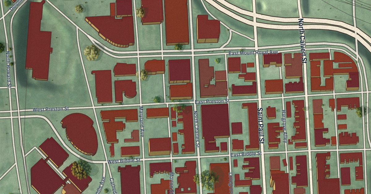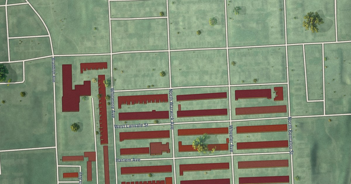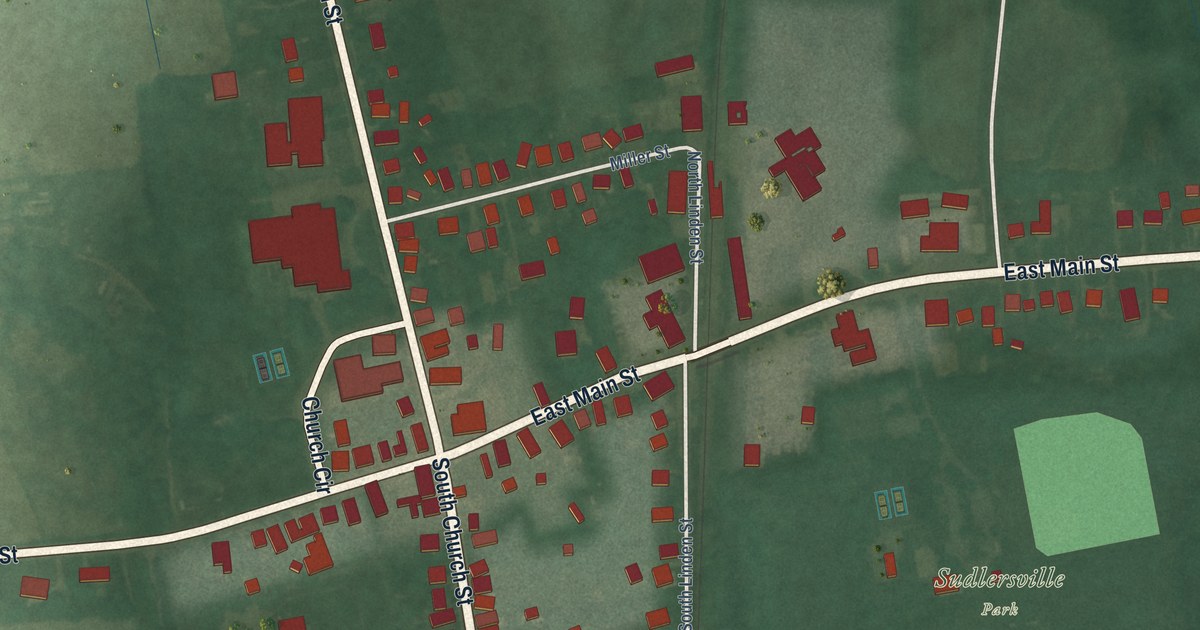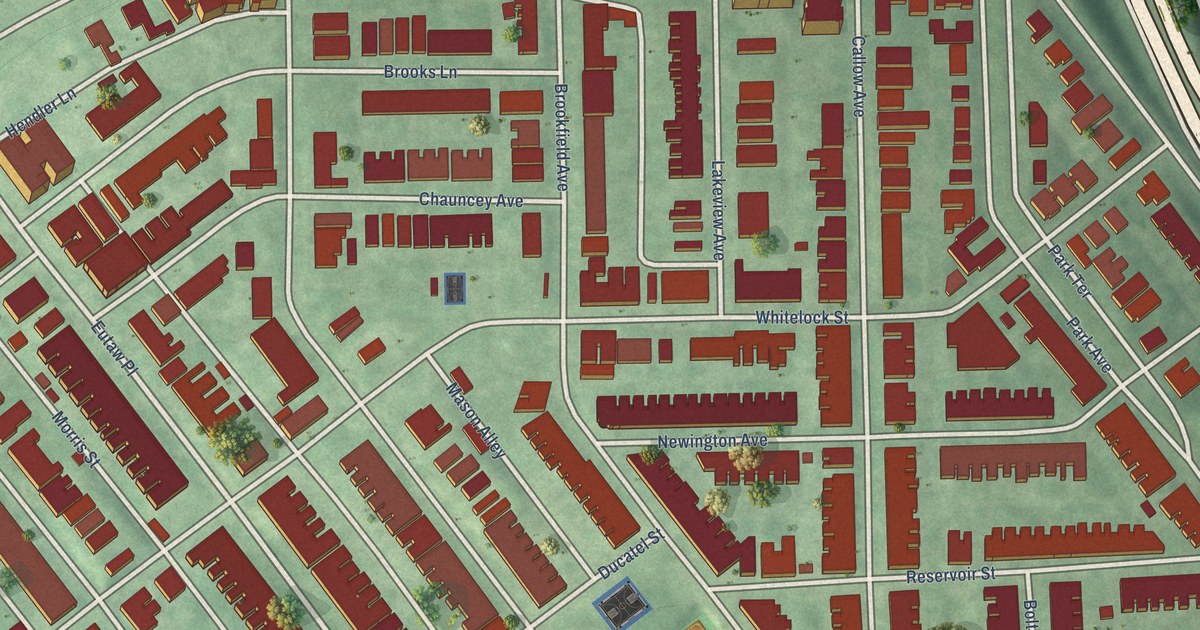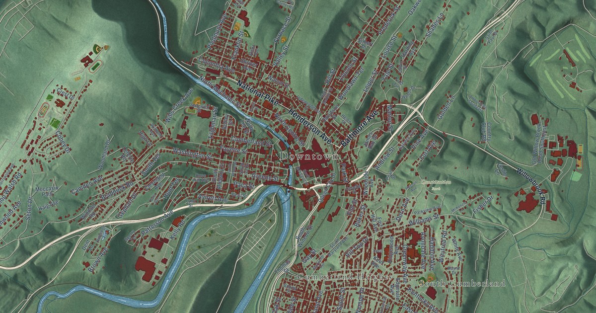
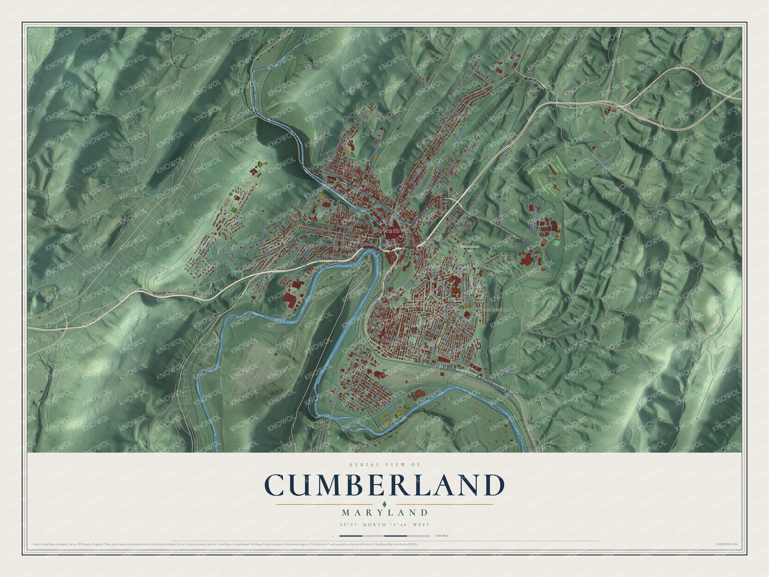
This beautifully detailed map of Cumberland, Maryland was created in 2026 using aerial imagery combined with modern topographical, census, street and landmark data. It's a modern aerial view of Cumberland in Allegany County, Maryland, that combines modern data with a vintage aesthetic. The roads feature printed names, and if you look closely you can find your exact house accurately shown in its correct location.
Explore an aerial view of Cumberland, Maryland
On this map you'll find Downtown, Constitution Park, Cumberland Heights, South Cumberland, National Pike, Baltimore Avenue, West Industrial Boulevard, Henderson Avenue, East Industrial Boulevard, Bedford Street, North Mechanic Street, Frederick Street, and more. Each red shape is a building, so zoom in on the preview and look for yours.
Cumberland has a story worth telling. The Internet Archive puts it this way: "The Cumberland Gazette was issued for the first
time by William Brown, Jan. 13, 1814."
Cumberland is a city in Allegany County. The Census Bureau counted 19,076 people here in 2020.
Take a closer look at the Cumberland map
Names on this map
These names are printed on this map.
Places: Downtown, Constitution Park, Cumberland Heights, South Cumberland and Frazier Lake.
Streets and roads: National Pike, Baltimore Avenue, West Industrial Boulevard, Henderson Avenue, East Industrial Boulevard, Bedford Street, North Mechanic Street, Frederick Street, Greene Street, Williams Street, Brown Avenue, Washington Street.
More street names, A to Z
Amber Drive Southeast, Andrew Street, Animal Shelter Road, Avirett Avenue, Avondale Avenue, Baker Street, Beall Street, Bishop Walsh Road, Blackiston Avenue, Blake Terrace, Boone Street, Bowen Street, Braddock Road, Calvin Street, Camden Avenue, Canal Parkway, Candoc Lane, Cecelia Street, Cecil, Cherrywood Avenue, Christie Road Northeast, Church Street, Cleveland Avenue, Cobey Drive, Columbia Avenue, Commerce Drive, Country Club Road, Crest Drive, Cumberland Street, Dale Avenue, Davidson Street, Dent Lane, Dorn Avenue, Dryer Avenue, Durham Drive, Eastern Avenue, East First Street, East Fourth Street, East Offut Street, East Oldtown Road, East Roberts Street, East Second Street, East Third Street, Edgevale Avenue, Edward Avenue, Elizabeth Street, Ella Avenue, Elm Street, Euclid Place, Fayette Street, Fisher Drive, Fort Avenue, Fort Hill Avenue, Franklin Street, Friends Drive, Frost Avenue, Furnace Street, Gay Street, Gephart Drive, Golden Lane, Grand Avenue, Grant Street, Greenway Avenue, Haddon Avenue, Haig Avenue, Harding Avenue, Helen Street, High Bedford Street, High Lane, Hill Street, Hill Top Drive, Holland Street, Homer Street, Hudson Avenue, Hunt Terrace, Independence Street, James Day Drive, Kelly Road, Kent Avenue, Kentucky Avenue, King Street, Lefevre Road, Leiper Street, Leslie Lane, Lexington Avenue, Lincoln Street, Louise Street, Lynn Street, Maces Lane, Marion Street, Maryland Avenue, McKenzie Lane, Memorial Avenue, Miller Avenue, Moccasin Path, Mullen Street, North Centre Street, North Lee Street, Oak Street, Oakwood Street, Old Willow Brook Road Southeast, Olive Avenue, Paca Street, Park Street, Parkview Avenue, Patterson Avenue, Pearl Street, Piedmont Avenue, Pine Avenue, Queen City Drive, Queen Street, Rayne Drive, Richwood Avenue, Ridgedale Avenue, Ridgewood Avenue, Riehl Avenue, River Avenue, Roeth Avenue, Rose Hill Avenue, Saint Paul Drive, Schley Street, Sedgwick Street, Seneca Avenue, Seton Drive, Seymour Street, Shades Lane, Shriver Avenue, Silbert Place, Somerville Avenue, South Allegany Street, South Chase Street, South Lee Street, South Maryland Avenue, South Mechanic Street, South Street, South Terrace, South Wineow Street, Sperry Terrace, Springdale Street, Thomas Street, Tilghman Street, Utah Avenue, Valley Road, Valley Street, Virginia Avenue, Walnut Street, Welch Avenue, Wellington Lane, Welton Drive, Wempe Drive, White Avenue, White Oaks Avenue, Willowbrook Road, Wills Creek Avenue, Wilmont Avenue, Windsor Road, Winifred Road, Woodland Drive, Woodlawn Terrace, Woodside Avenue, Yale Street.
Created by KNOWOL in 2026. The buildings are small red shapes, the roads carry their printed names, and shaded relief shows the shape of the land. The title panel reads "AERIAL VIEW OF CUMBERLAND MARYLAND" with 39°39' NORTH 78°46' WEST.
It looks right in a kitchen, an office or a den, and it's a gift for anyone who grew up in Cumberland or moved away. Open the preview and find your street. See sizes and frames for the Cumberland map.