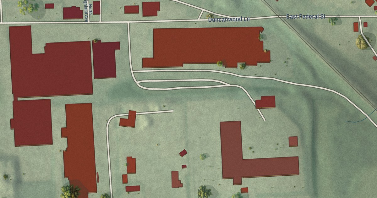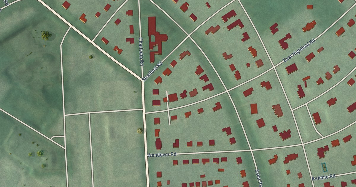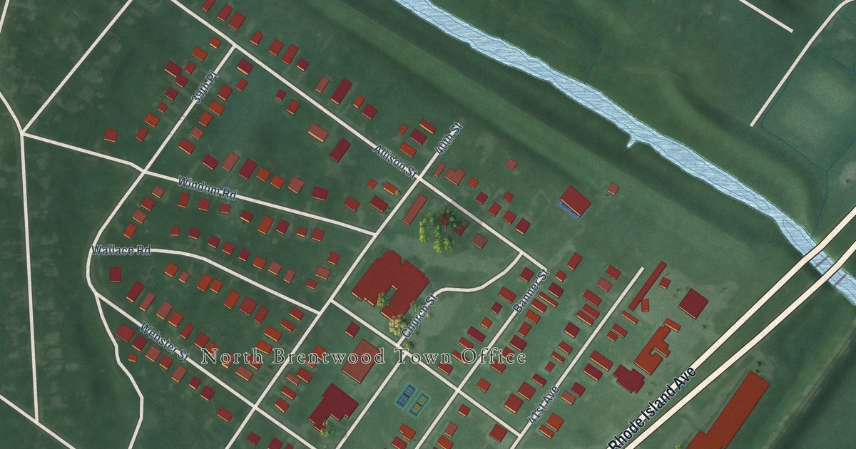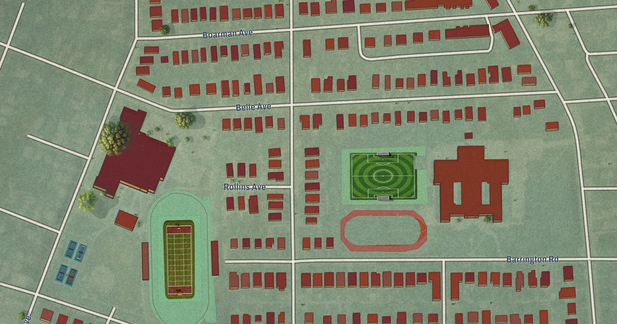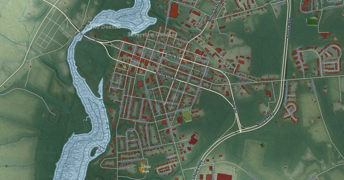
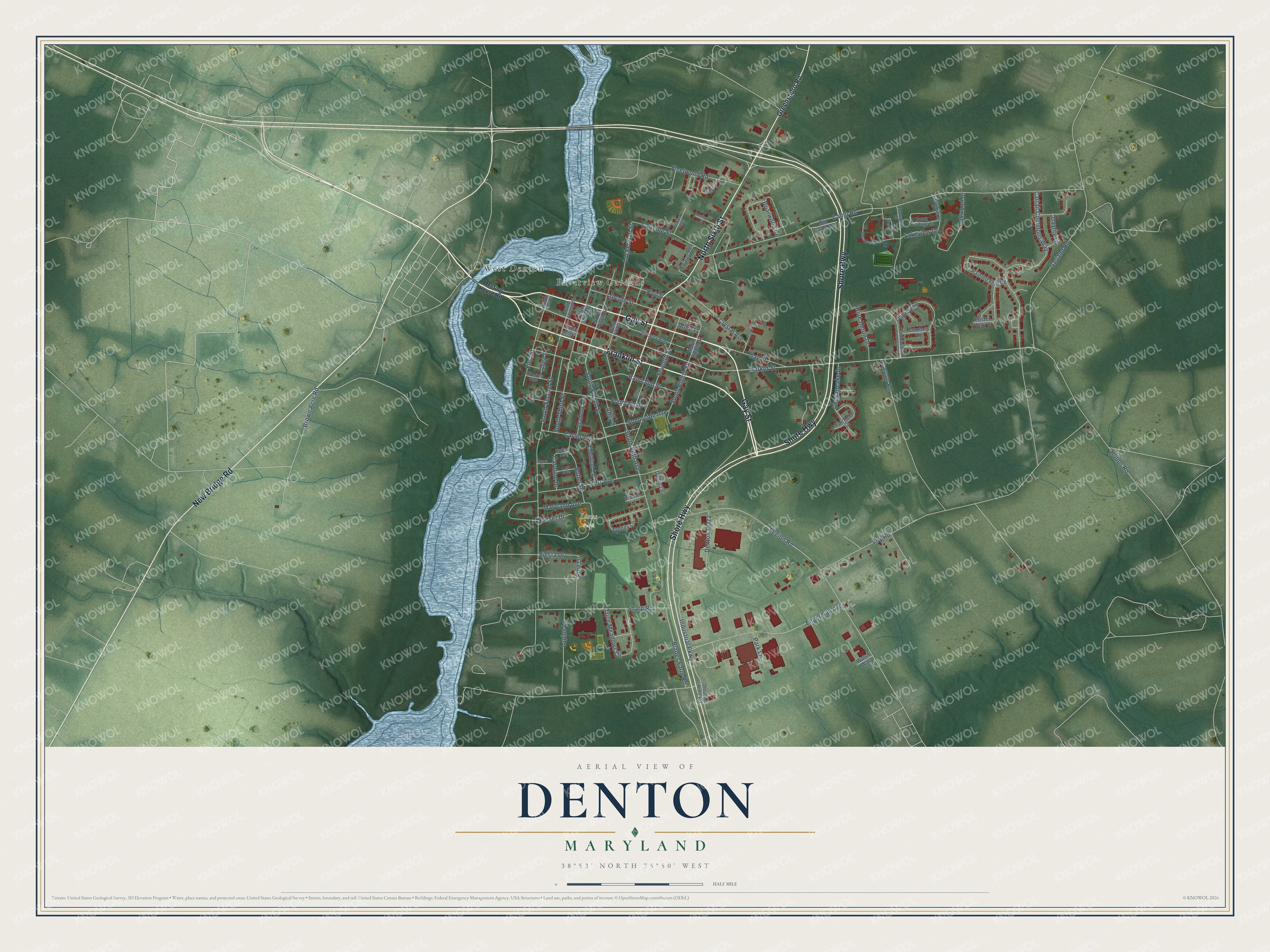
This beautifully detailed map of Denton, Maryland was created in 2026 using aerial imagery combined with modern topographical, census, street and landmark data. It's a modern aerial view of Denton in Caroline County, Maryland, that combines modern data with a vintage aesthetic. The roads feature printed names, and if you look closely you can find your exact house accurately shown in its correct location.
Explore an aerial view of Denton, Maryland
On this map you'll find Lions Park, Riverview Gardens, West Denton, Franklin Street, Gay Street, Shore Highway, North Sixth Street, New Bridge Road, Market Street, Caroline Drive, Butler Drive, South Eighth Street, and more. Each red shape is a building, so zoom in on the preview and look for yours.
Denton has a story worth telling. The Internet Archive puts it this way: "As to postmasters and postal routes the following
is taken from the official records at Washington: The
earliest record shows Charles Sevins as postmaster at
Denton in 1801, followed by Thomas Culbreth in 1810;
Montgomery Denny in 1811; George A."
Denton is a town in Caroline County. The Census Bureau counted 4,848 people here in 2020.
Take a closer look at the Denton map
Names on this map
These names are printed on this map.
Places: Lions Park, Riverview Gardens and West Denton.
Streets and roads: Franklin Street, Gay Street, Shore Highway, North Sixth Street, New Bridge Road, Market Street, Caroline Drive, Butler Drive, South Eighth Street, Industrial Parkway, Brown Acre Road, Pine Drive.
More street names, A to Z
Academy Avenue, Aldersgate Drive, Alley 3, Alley 7, Alley 9, Alley 11, Bank Alley, Blades Farm Road, Blue Heron Drive, Briarwood Circle, Butler Terrace, Camp Road, Canvasback Lane, Caroline Street, Carter Avenue, Cattail Commons Way, Chesapeake Drive, Colonial Drive, Coursey Lane, Crystal Avenue, Daffin Lane, Daylily Lane, Denton Plaza, Double Hills Road, East Wesley Circle, Edenton Lane, Elaine Avenue, Ellerslie Court, Engerman Avenue, Fairfield Court, First Street, Fleetwood Road, Foster Holly Court, Fountain Avenue, Foy Road, Garland Road, Greensboro Road, High Street, Hobbs Road, Kathryn Court, Kerr Avenue, Lakeview Drive, Legales Drive, Legion Road, Lincoln Street, Lockerman Street, Lou Avenue, Lupine Lane, Maryland Avenue, Meeting House Road, Myers Street, North Eighth Street, North Fifth Street, North First Street, North Fourth Street, North Second Street, North Third Street, Oakwood Drive, Old Camp Road, Osprey Lane, Painted Fern Road, Park Lane, Pearson Road, Randolph Street, Riverton Avenue, Seventh Street, Sharp Road, Siesta Drive, South Fifth Avenue, South Fourth Street, South Heritage Court, South Second Street, South Third Street, Stockley Alley, Sunnyside Avenue, Sunset Drive, Sydney Lane, Tenth Street, Trice Meadows Circle, Village Circle, Walsh Way, West Wesley Circle, Wood Lane.
Created by KNOWOL in 2026. The buildings are small red shapes, the roads carry their printed names, and shaded relief shows the shape of the land. The title panel reads "AERIAL VIEW OF DENTON MARYLAND" with 38°53' NORTH 75°50' WEST.
It looks right in a kitchen, an office or a den, and it's a gift for anyone who grew up in Denton or moved away. Open the preview and find your street. See sizes and frames for the Denton map.