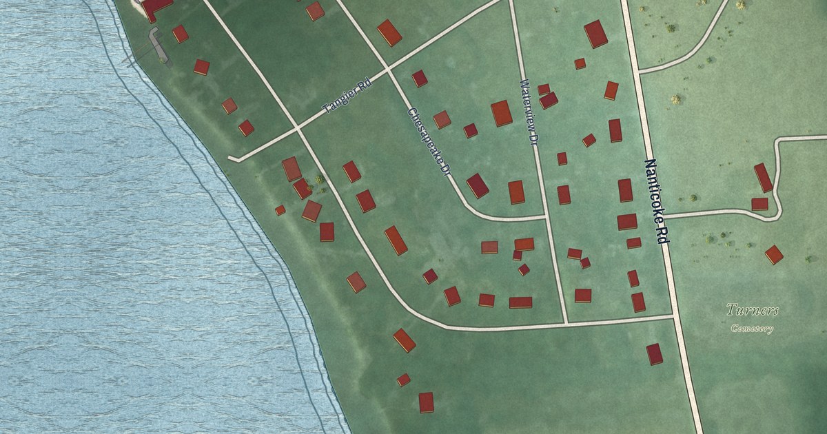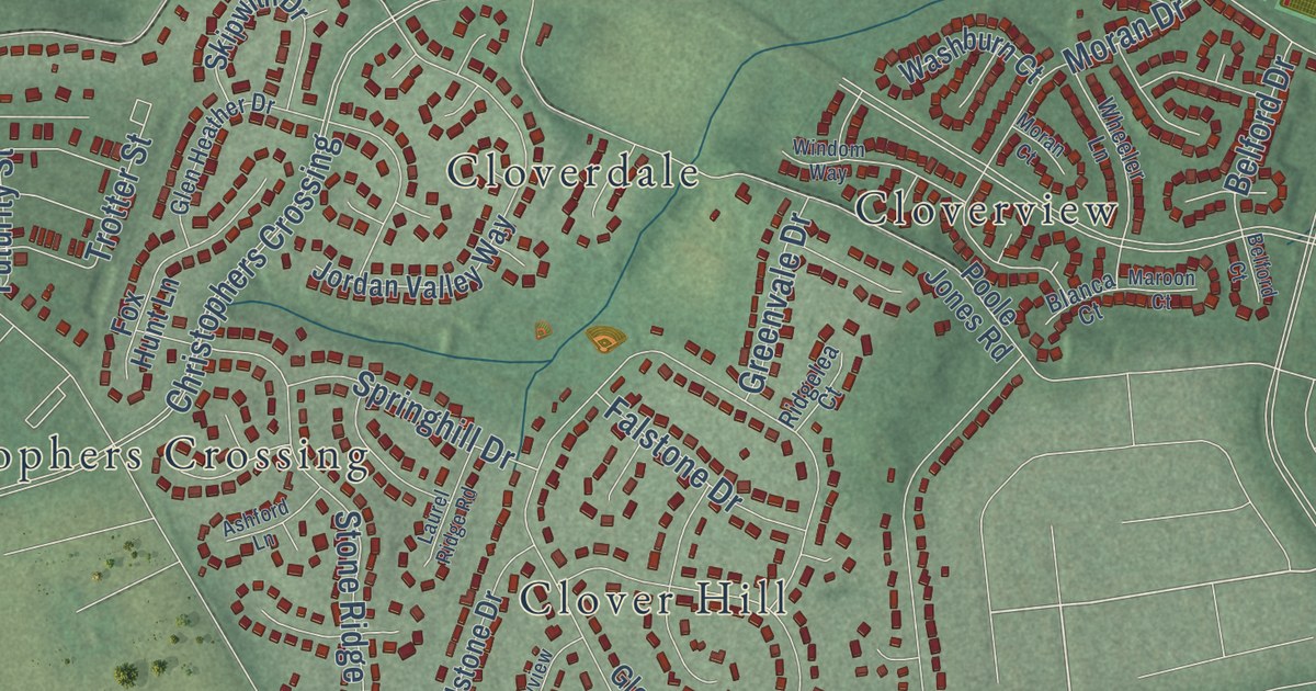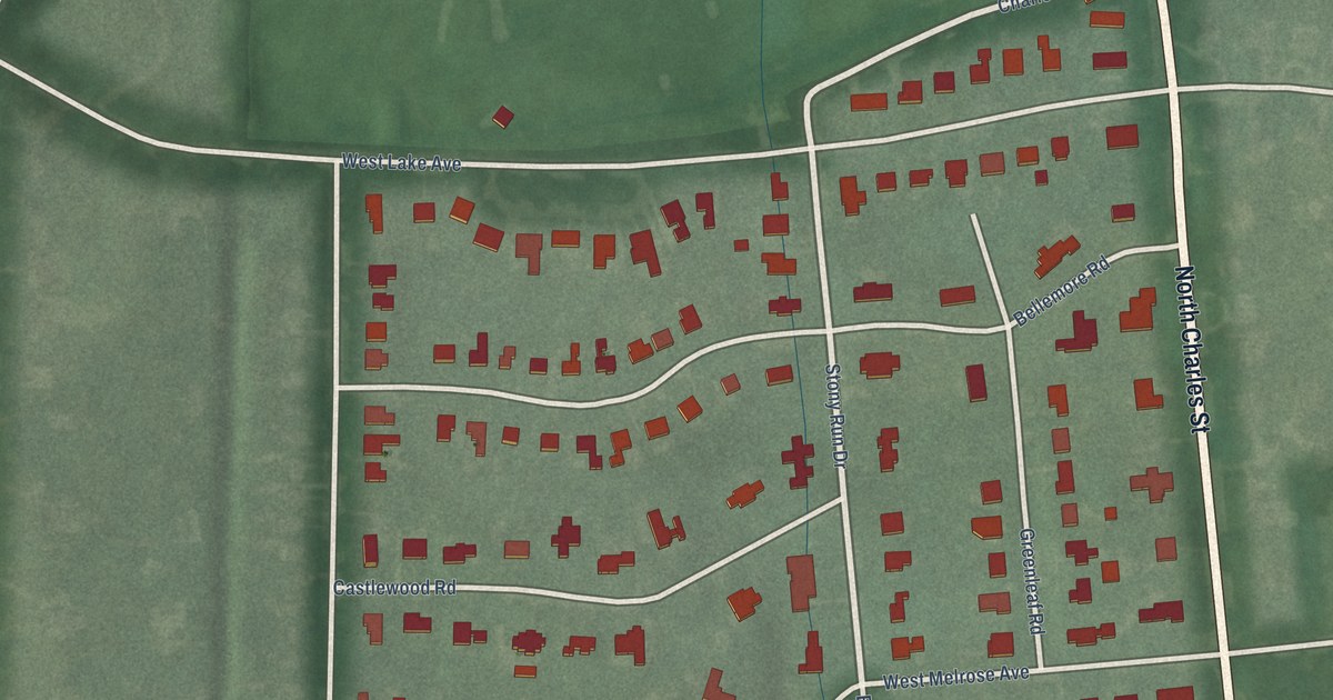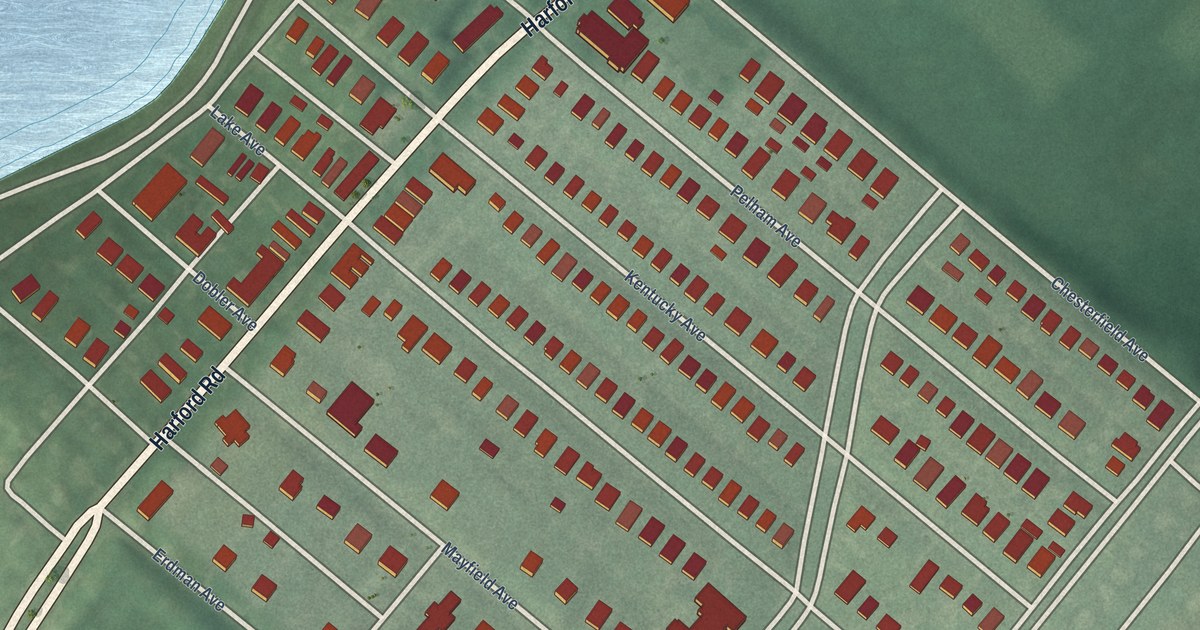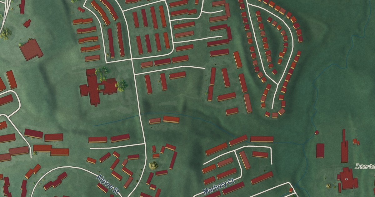
This beautifully detailed map of District Heights, Maryland was created in 2026 using aerial imagery combined with modern topographical, census, street and landmark data. It’s a one-of-a-kind view of District Heights that combines accurate data with a vintage aesthetic. The map shows every building in its true location, many of the roads carry their names, and the shaded topographic relief shows the shape of the land.
Explore an aerial view of District Heights, Maryland
On the map you’ll find District Heights Municipal Center, along with Silver Hill Road, County Road, Kipling Parkway, Atwood Street, District Heights Parkway, Marlboro Pike, Gateway Boulevard, Foster Street, Halleck Street, Marbury Drive, Lansdale Street, and more. If you look closely you can even find your house accurately drawn in its correct location. Zoom in on the preview to look for yours.
Did you know this piece of District Heights, Maryland history?
From the Maryland Historical Trust: "Beginning in 1955, Tessitore constructed the remaining houses and sold them to individual homeowners, completing the final houses along Lacona Street in 1961. When construction of the Berkshire Subdivision began in 1949, the surrounding area primarily comprised open farmland and small single-family housing developments."
Take a closer look at the District Heights map
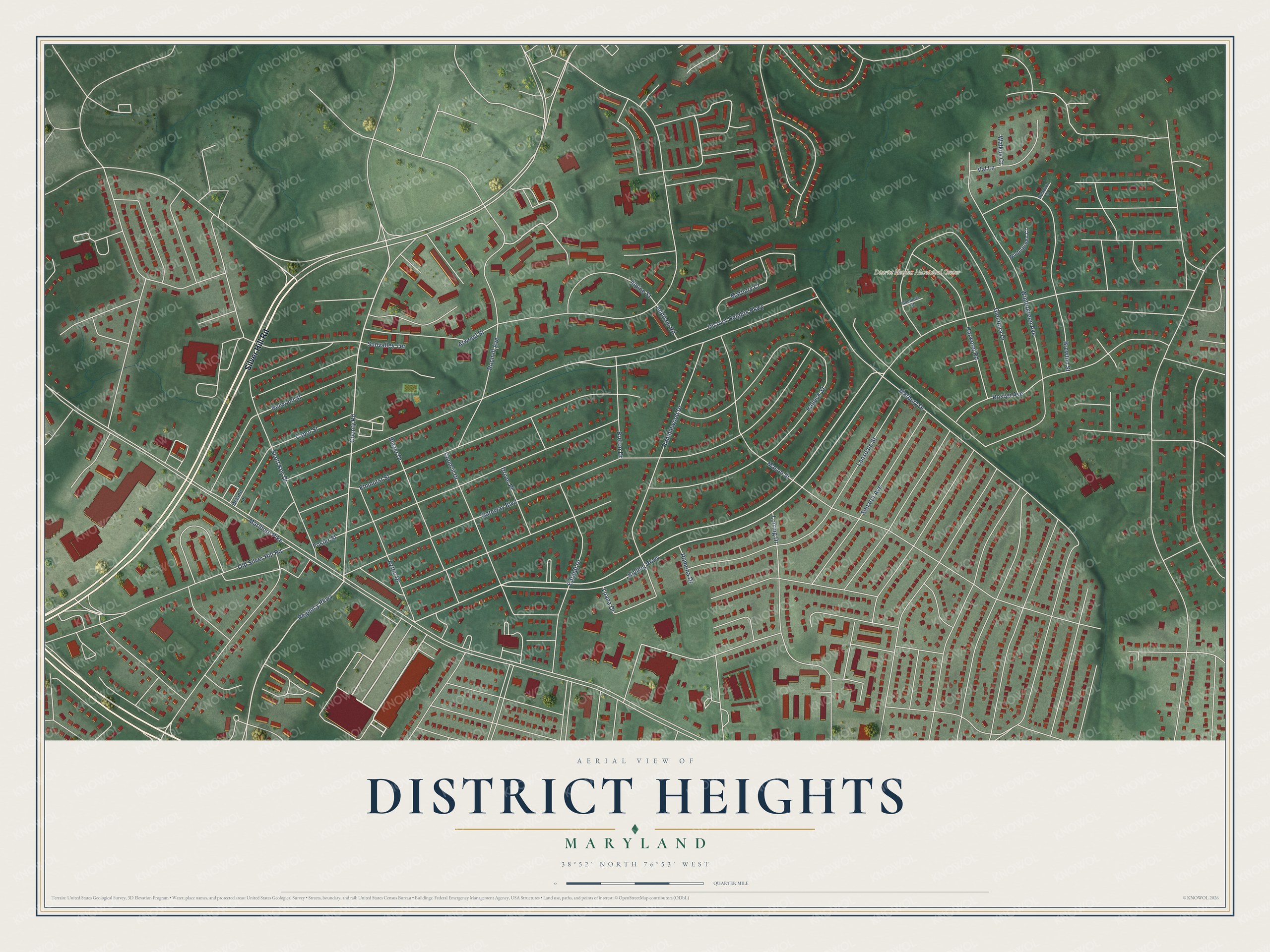
Street and place names on the District Heights, Maryland map
These names are printed on the map of District Heights, Maryland.
Places: District Heights Municipal Center.
Streets and roads: Silver Hill Road, County Road, Regency Parkway, Kipling Parkway, Atwood Street, District Heights Parkway, Marlboro Pike, Gateway Boulevard, Foster Street, Halleck Street, Marbury Drive, Lansdale Street.
More street names, A to Z
Addison Road, Alpine Street, Aztec Drive, Belwood Street, Blazer Drive, Breton Drive, Brewton Court, Brewton Street, Cabot Street, Council Drive, Delano Lane, Driver Place, Edfeldt Drive, Elmhurst Street, Glendora Court, Glendora Drive, Harwood Road, Lorring Drive, Luana Drive, Marbury Court, Mason Street, Old Silver Hill Road, Ramblewood Drive, Rochell Avenue, Romona Drive, Roslyn Avenue, Scott Key Drive, Senator Avenue, Sunvalley Terrace, Val Lane, Walkus Court, Wintergreen Avenue, Wintergreen Court.
See the District Heights, Maryland map on a wall
The District Heights map as an 18 x 24 inch print in a black frame.

This beautifully detailed map of District Heights makes an attractive addition to your office, library, or den, and it can even be used to teach children the geography and history of the area. It also makes a great gift for anyone who grew up in District Heights or moved away. When you’re done exploring, click here to get your copy of the District Heights map.