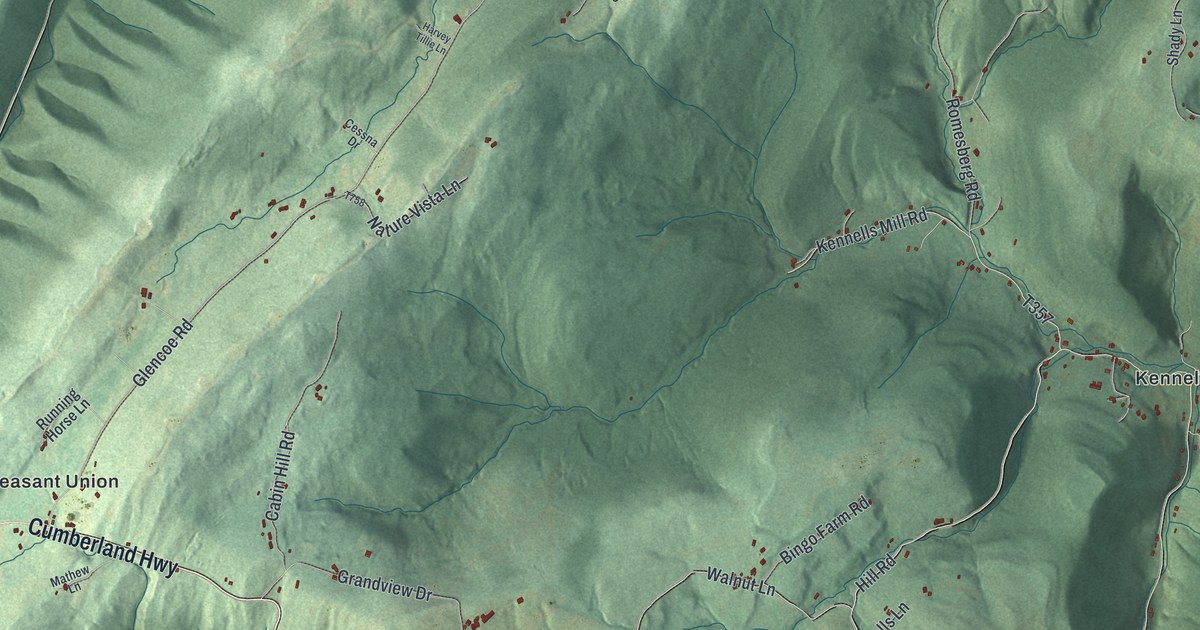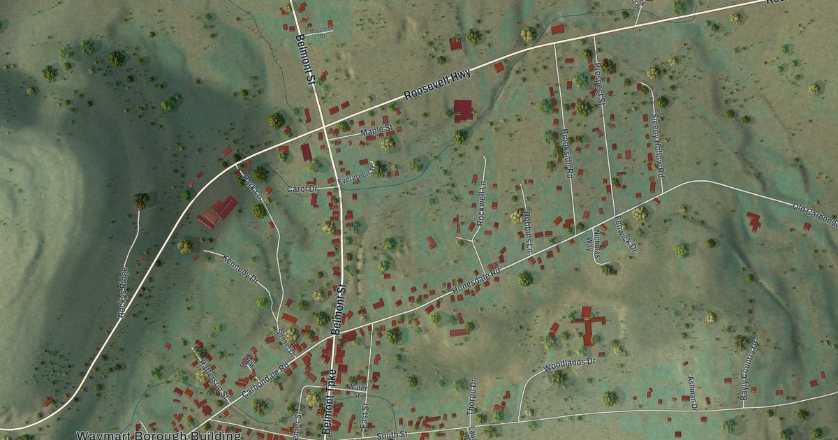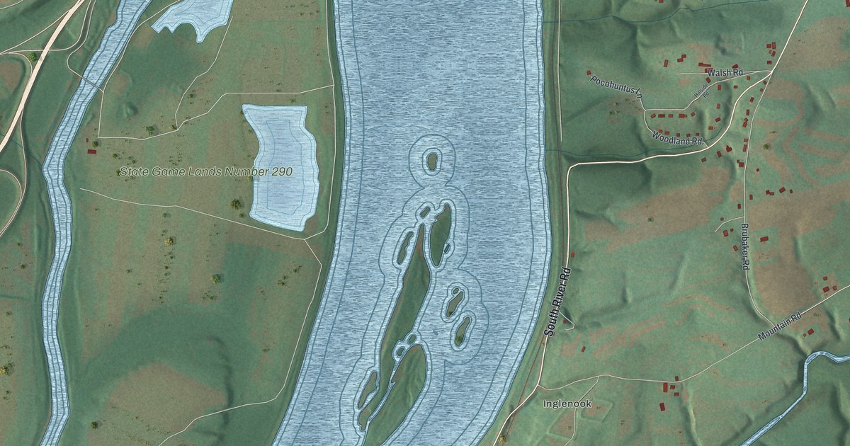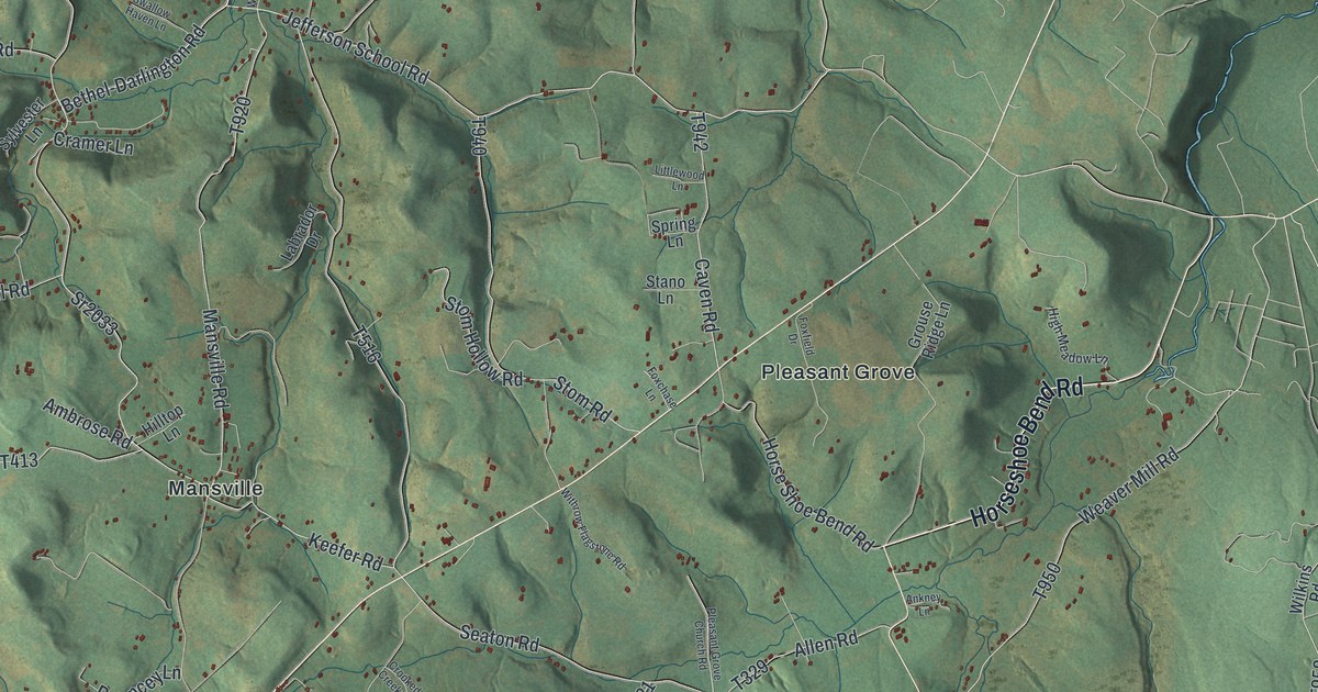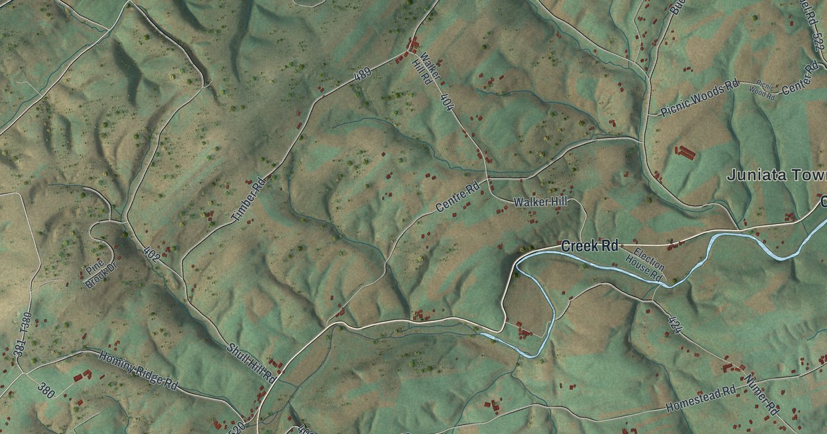
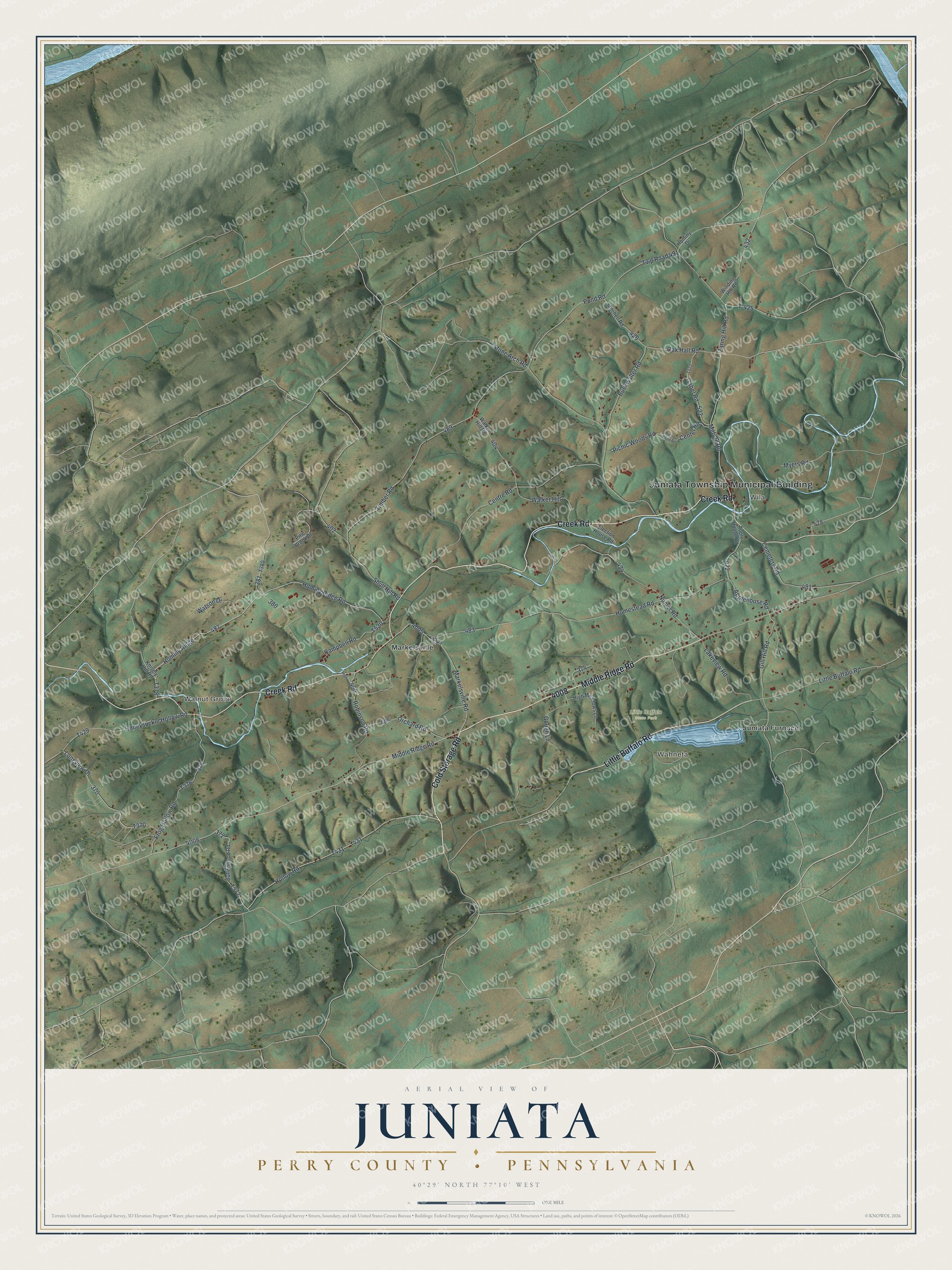
This beautifully detailed map of Juniata, Perry County, Pennsylvania was created in 2026 using aerial imagery combined with modern topographical, census, street and landmark data. It's a modern aerial view of Juniata, Perry County in Perry County, Pennsylvania, that combines modern data with a vintage aesthetic. The roads feature printed names, and if you look closely you can find your exact house accurately shown in its correct location.
Explore an aerial view of Juniata, Perry County, Pennsylvania
On this map you'll find Juniata Township Municipal Building, Walnut Grove, Wila, Wahneta, Little Buffalo State Park, Juniata Furnace, Markelsville, Cold Storage Road, Creek Road, Little Buffalo Road, Middle Ridge Road, Milford Road, and more. Each red shape is a building, so zoom in on the preview and look for yours.
Here is a piece of Juniata, Perry County history, in the words of the record. The LivingPlaces puts it this way: "The Stephens family were early settlers in the township and land grants were made to John Creigh, Jacob Miller, Joe Stretch, Robert Garrett, James Keenan, and Alexander Stuart. The assessment roles of 1795 show there were twelve sawmills, two grist-mills, two tan-yards and two distilleries in the township."
Juniata, Perry County is a place in Perry County. The Census Bureau counted 1,537 people here in 2020.
Take a closer look at the Juniata, Perry County map
Names on this map
These names are printed on this map.
Places: Juniata Township Municipal Building, Walnut Grove, Wila, Wahneta, Little Buffalo State Park, Juniata Furnace and Markelsville.
Streets and roads: Cold Storage Road, Creek Road, Little Buffalo Road, Middle Ridge Road, Milford Road, Hominy Ridge, Zaring Hill Road, T-425, Hominy Ridge Road, Hollow Road, Campbell Road, Oak Hall Road.
More street names, A to Z
Applehouse Road, Apple House Road, Buckwalter Road, Buttonwood Road, Cemetery Road, Center Road, Centre Road, Election House Road, Frog Hollow Road, Gabel Road, Gill Hill Road, Gough Lane, High Meadows Lane, Homestead Road, Hominy Drive, Honeysuckle Hollow Road, Knisely Hill Road, Lakeview Road, Longview Drive, Markelsville Road, Mitchell Road, Myers Road, Numer Road, Orchard Road, Picnic Wood Road, Picnic Woods Road, Pine Brook Drive, Pond Road, Robinson Road, Shull Hill Road, Stone Arch Road, Timber Road, Twp Road 491, Walker Hill, Walker Hill Road, Watson Drive, Winding Hill Road.
Created by KNOWOL in 2026. The buildings are small red shapes, the roads carry their printed names, and shaded relief shows the shape of the land. The title panel reads "AERIAL VIEW OF JUNIATA PERRY COUNTY • PENNSYLVANIA" with 4, 0, °, 2, 9, ', , N, O, R, T, H, , 7, 7, °, 1, 0, ', , W, E, S, T.
It suits a den, a classroom or a front hall, and it makes a gift for anyone with Juniata, Perry County roots. Open the preview and find the block you know. See sizes and frames for the Juniata, Perry County map.