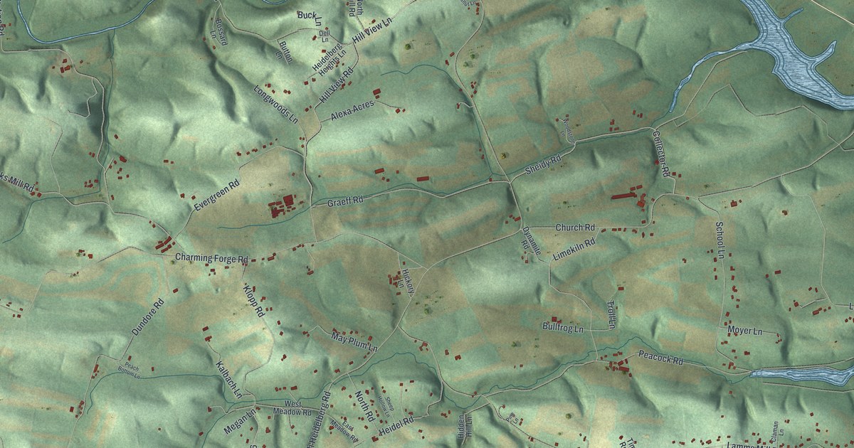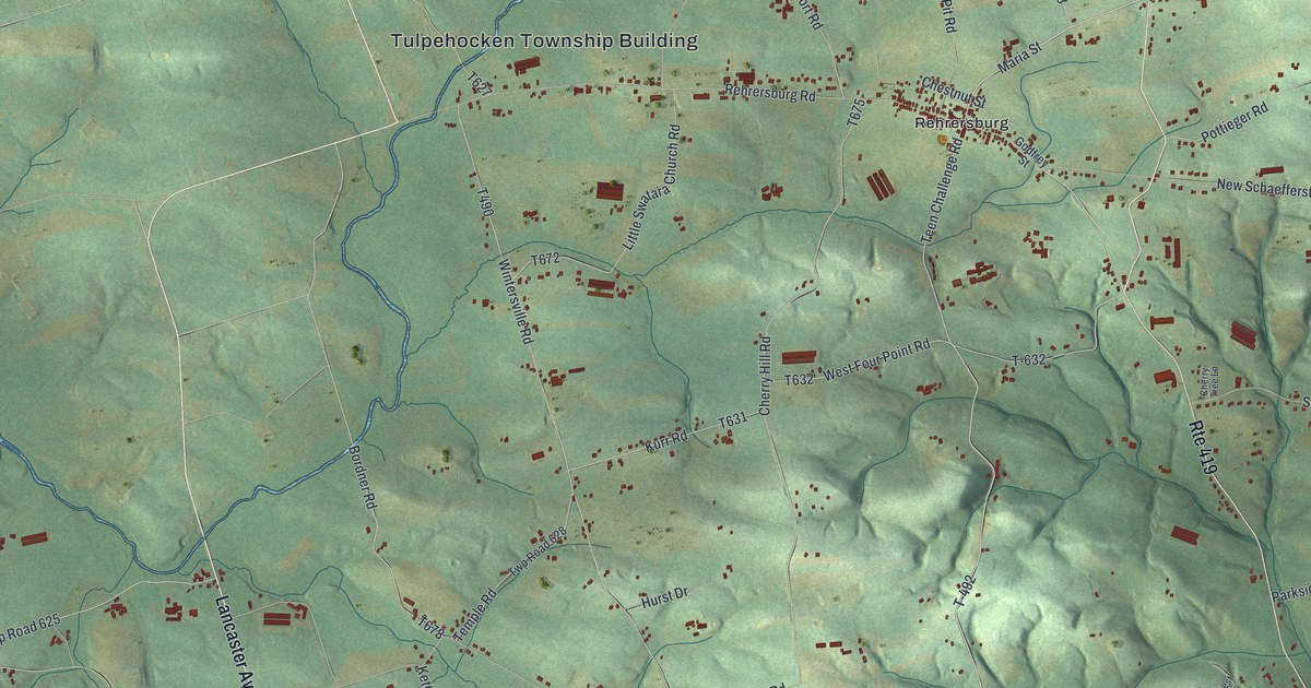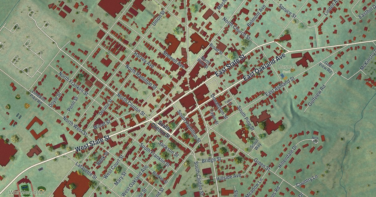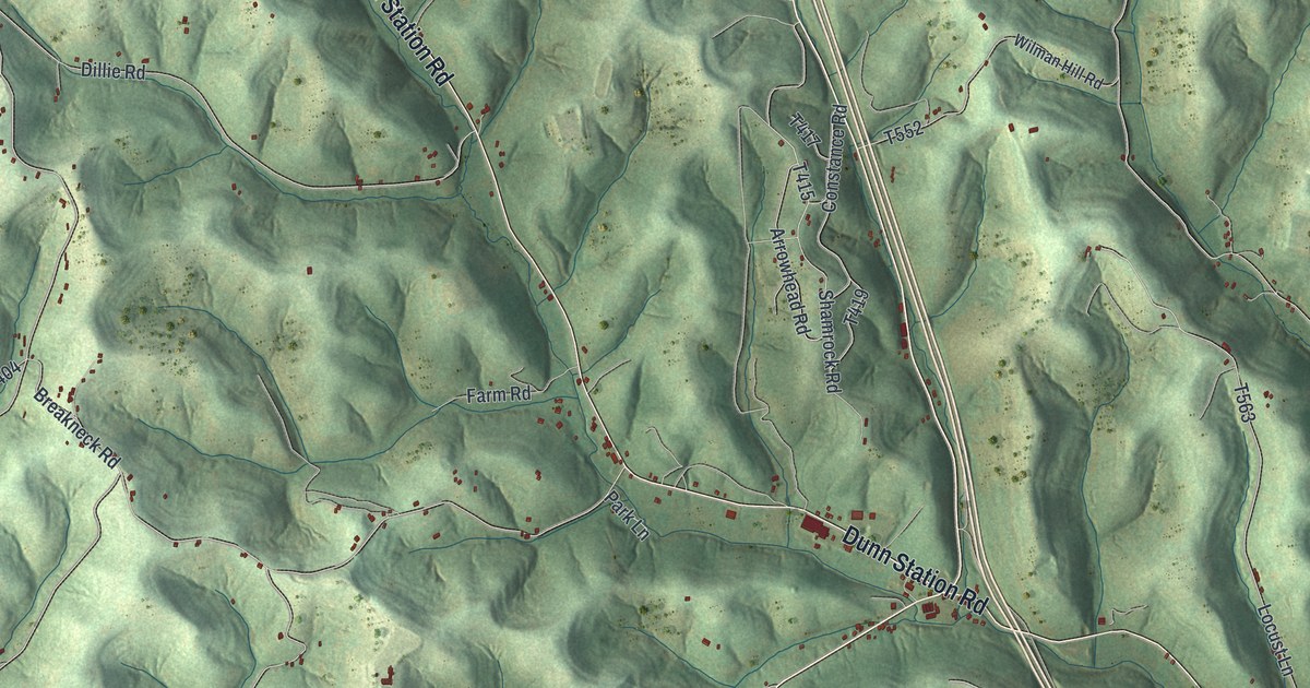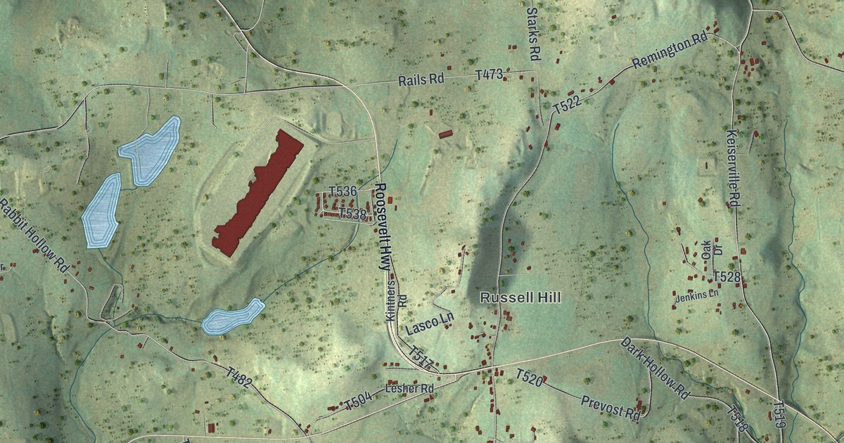
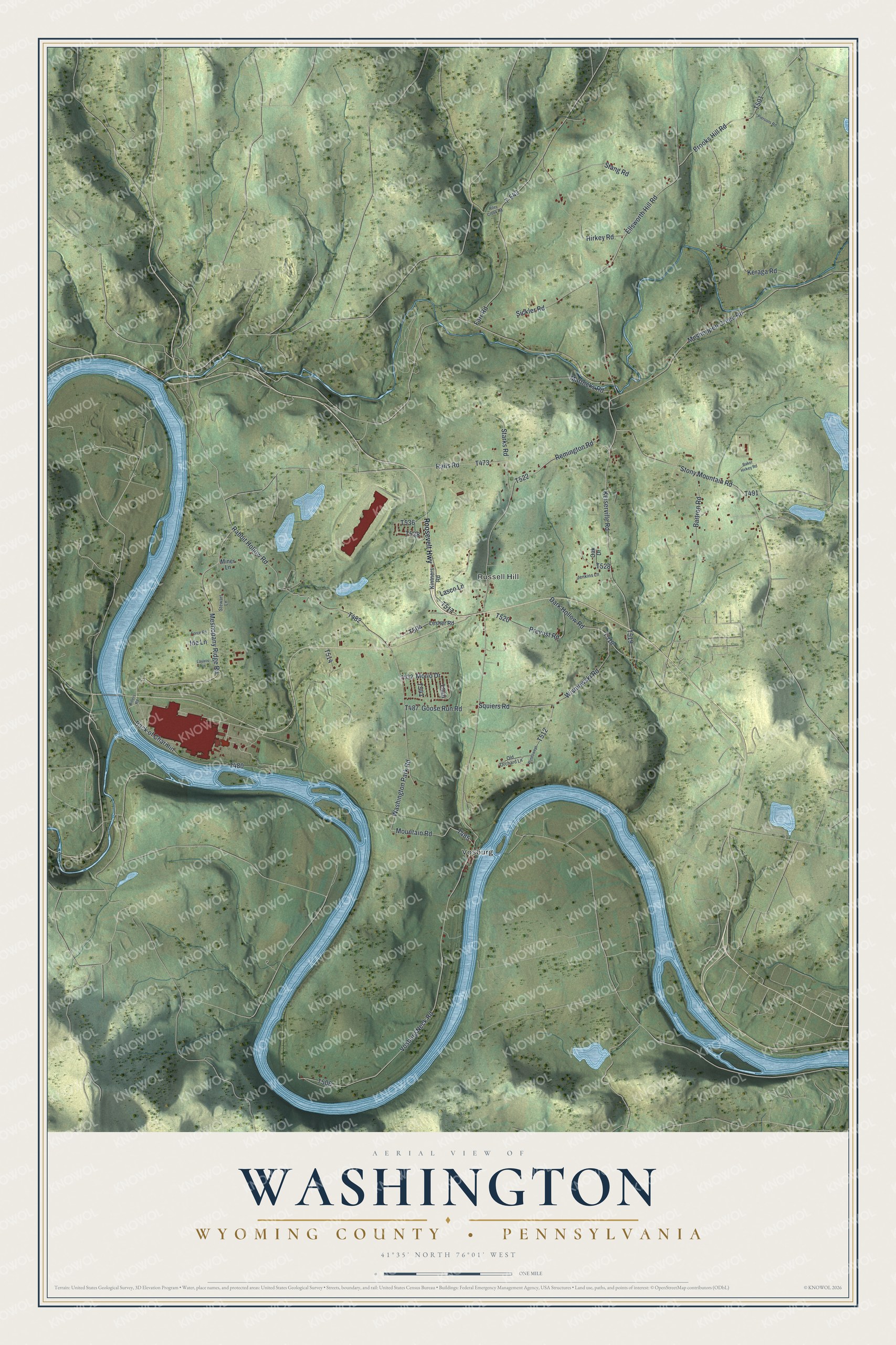
This beautifully detailed map of Washington, Wyoming County, Pennsylvania was created in 2026 using aerial imagery combined with modern topographical, census, street and landmark data. It's a modern aerial view of Washington, Wyoming County in Wyoming County, Pennsylvania, that combines modern data with a vintage aesthetic. The roads feature printed names, and if you look closely you can find your exact house accurately shown in its correct location.
Explore an aerial view of Washington, Wyoming County, Pennsylvania
On this map you'll find Vosburg, Russell Hill, Meshopany Ridge Road, Ellsworth Hill Road, Keiserville Road, Mountain Road, T485, T506, Remington Road, T504, T536, T538, and more. Each red shape is a building, so zoom in on the preview and look for yours.
Washington, Wyoming County has a story worth telling. The History of Luzerne County puts it this way: "Alban Russell, from Connecticut, located in 1800 where his grandson, Alban H. Russell, now lives. He took up a large tract, and from him the village of Russell Hill was named."
Washington, Wyoming County is a place in Wyoming County. The Census Bureau counted 1,334 people here in 2020.
Take a closer look at the Washington, Wyoming County map
Names on this map
These names are printed on this map.
Places: Vosburg and Russell Hill.
Streets and roads: Meshopany Ridge Road, Ellsworth Hill Road, Keiserville Road, Mountain Road, Remington Road, Squiers Road, Meshoppen Creek Road, Vosburg Neck Road, Farr Road, T-542, Rabbit Hollow Road, Keraga Road.
More street names, A to Z
Back of Charmin, Baker Hirkey Road, Bartron Road, Bitlers Road, Brooks Hill Road, Dark Hollow Road, Force Road, Goose Run Road, Hirkey Road, Ide Lane, Jenkins Lane, Kintners Road, Lasco Lane, Layaou Lane, Lesher Road, Mattocks Road, Miner Lane, Morio Drive, Oak Drive, Old Orchard Lane, Piersons Road, Prevost Road, Rails Road, Riley Creek Road, Roosevelt Highway, Sickler Road, Stang Road, Starks Road, Stewart Lane, Stony Mountain Road, Washington Park Road, Windswept, Wisniewski Road.
Created by KNOWOL in 2026. The buildings are small red shapes, the roads carry their printed names, and shaded relief shows the shape of the land. The title panel reads "AERIAL VIEW OF WASHINGTON WYOMING COUNTY • PENNSYLVANIA" with 4, 1, °, 3, 5, ', , N, O, R, T, H, , 7, 6, °, 0, 1, ', , W, E, S, T.
It looks right in a kitchen, an office or a den, and it's a gift for anyone who grew up in Washington, Wyoming County or moved away. Open the preview and find your street. See sizes and frames for the Washington, Wyoming County map.