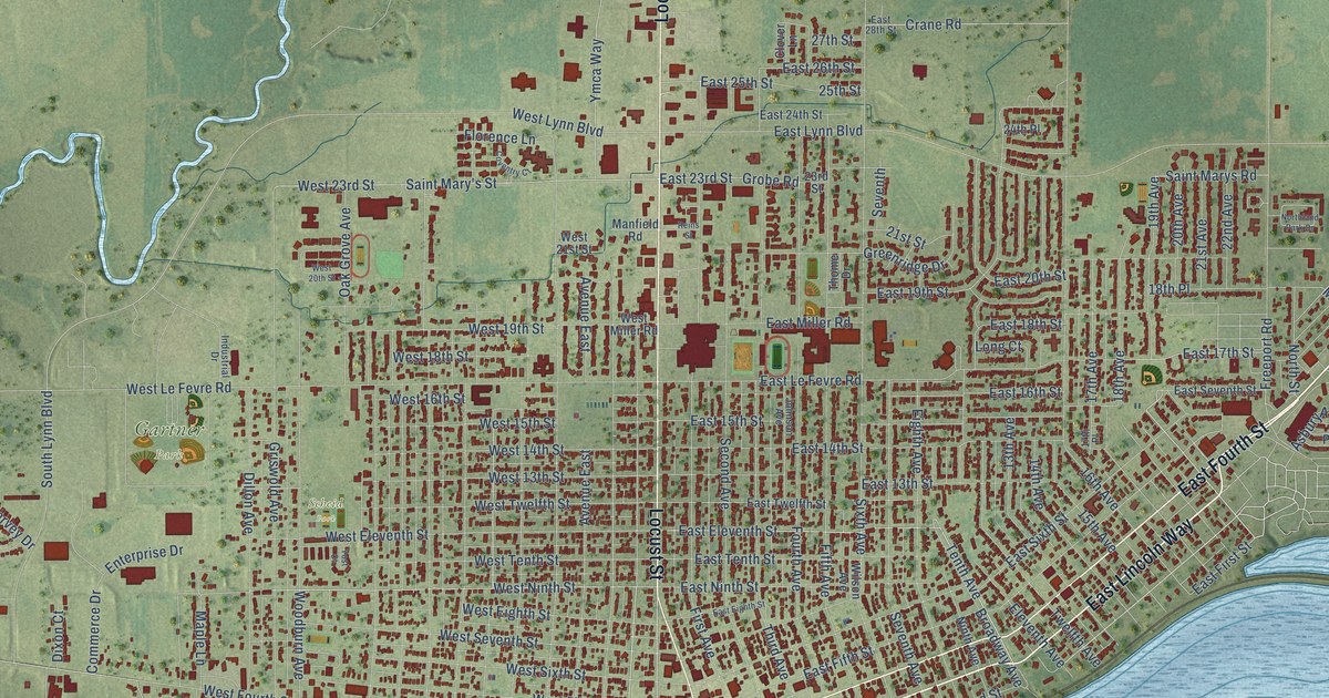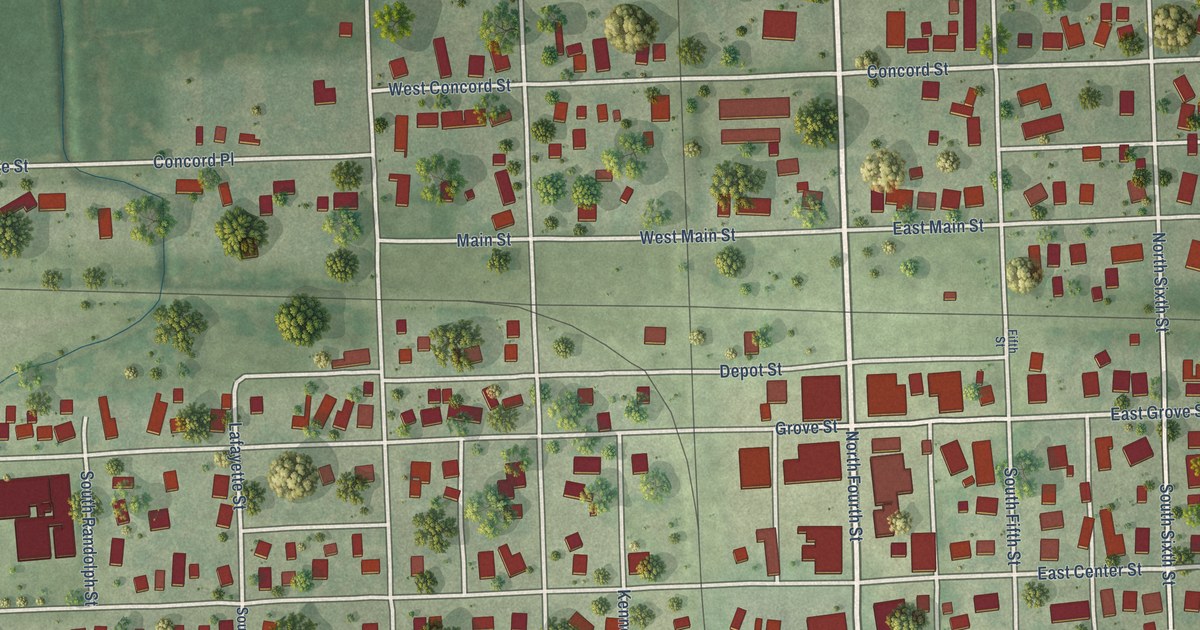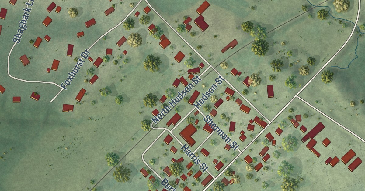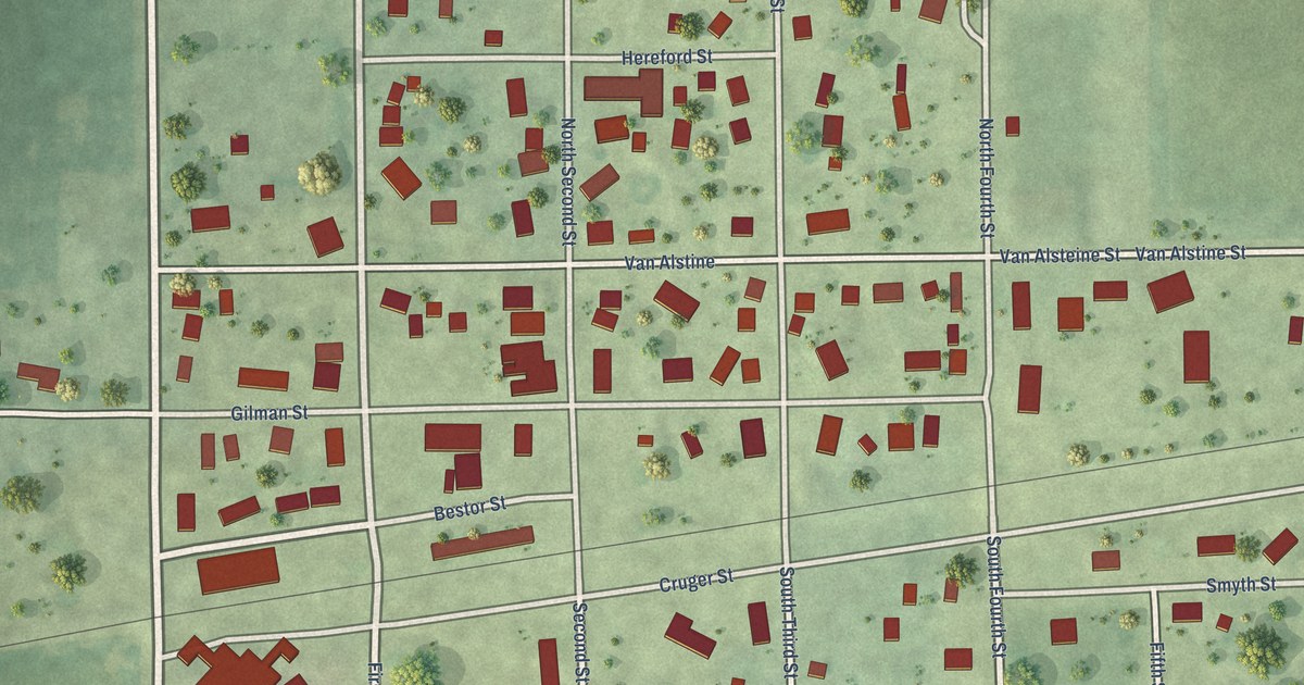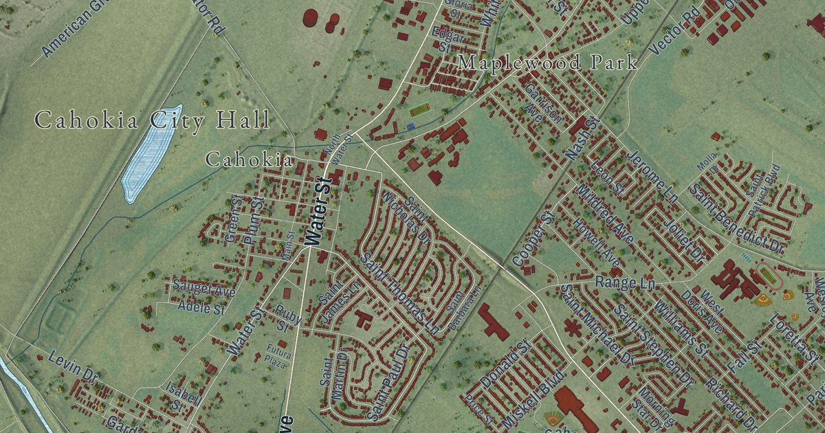
This beautifully detailed map of Cahokia Heights, Illinois was created in 2026 using aerial imagery combined with modern topographical, census, street and landmark data. It’s a one-of-a-kind view of Cahokia Heights that combines accurate data with a vintage aesthetic. The map shows every building in its true location, many of the roads carry their names, and the shaded topographic relief shows the shape of the land.
Explore an aerial view of Cahokia Heights, Illinois
On the map you’ll find Cahokia City Hall, Golden Gardens, Lake Siding, Alorton, Cahokia, Centerville Station, Centreville, Maplewood Park, and North Dupo, along with Water Street, South 88th Street, Missouri Avenue, and more. If you look closely you can even find your house accurately drawn in its correct location. Zoom in on the preview to look for yours.
Did you know this piece of Cahokia Heights, Illinois history?
From the Historical Marker Database: "In 1929 the airport opened as the Curtis-Steinberg Airport. It was developed by a business consortium that included Mark Steinberg – a St. Louis financier and Curtis Wright – the owner of an aircraft and engine manufacturing firm."
Cahokia Heights is a city in St. Clair County.
Take a closer look at the Cahokia Heights map
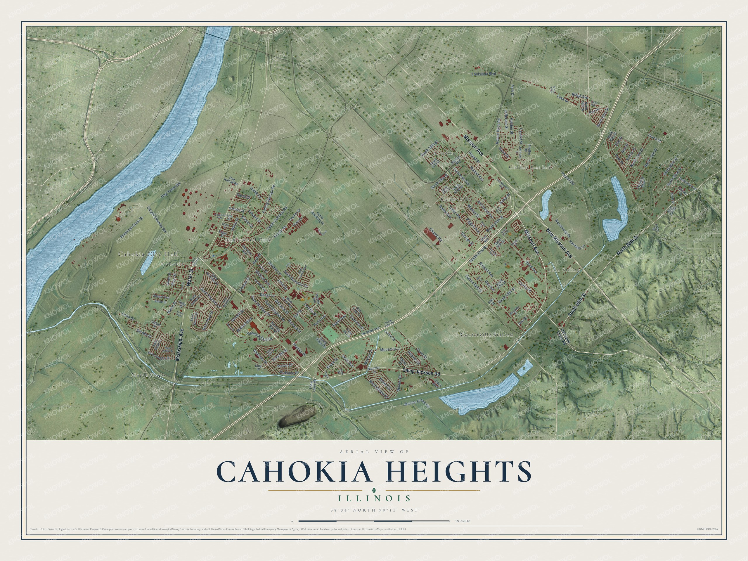
Street and place names on the Cahokia Heights, Illinois map
These names are printed on the map of Cahokia Heights, Illinois.
Places: Cahokia City Hall, Golden Gardens, Lake Siding, Alorton, Cahokia, Centerville Station, Centreville, Maplewood Park and North Dupo.
Streets and roads: Water Street, South 88th Street, Missouri Avenue, Camp Jackson Road, Mississippi Avenue, New Missouri Avenue, North 88th Street, Saint Thomas Lane, Falling Springs Road, Grand Street, Pocket Road, Bond Avenue.
More street names, A to Z
58th Street, Adele Street, Alcoa Drive, American Grain Street, Andrews Drive, Ann Street, Archview Drive, Ash Street, Baker Avenue, Bates Street, Belleview Avenue, Bentley Avenue, Bluff Hill Road, Bluff Street, Brady Avenue, Bruce Drive, Cahokia Park Drive, Cahokia Street, Calvin Boulevard, Capitol Street, Cargill Elevator Road, Carol Street, Church Road, Clarita Street, Converse Avenue, Cooper Street, Cotton Belt Street, Curtis Steinberg Drive, David Street, Delano Drive, Delores Drive, Donald Street, Doris Avenue, Dorris Street, Drexel Drive, Edgar Street, Edward Street, Elm Street, Fall Street, Fleur de Lis, Florence Street, Foley Drive, Futura Plaza, Garden Street, Garrison Avenue, Gay Avenue, George Street, Gloria Street, Golden Street, Goose Lake Road, Green Street, Grimes Lane, Hanover Lane, Harness Lane, Helen Court, Hog Haven Road, Hog Hollow Road, Howell Avenue, Isabell Street, Jarvis Place, Jefferson Street, Jerome Lane, Johnson Lane, Joliet Drive, Judith Lane, Kathryn Street, Kenneth Street, Kinder Street, King Court, Lake Drive, Laura Avenue, Lee Street, Leon Street, Levin Drive, Loren Street, Loretta Street, Louisiana Boulevard, Lynn Street, Main Street, Market Street, Marydale Drive, Maynor Drive, Mc Bride Avenue, McCasland Avenue, Melvin Drive, Mildred Avenue, Miskell Boulevard, Molla Drive, Morning Star Drive, Mousette Lane, Mullins Creek Road, Nash Street, North 51st Street, North 58th Street, North 63rd Street, North 68th Street, North 73rd Street, North 75th Street, North 80th Street, North 82nd Street, North Water Street, Oak Tree Lane, Old Missouri Avenue, Old Saint Louis Road, Omni Drive, Paris Avenue, Park Drive, Parklane Drive, Park Place, Pershing Boulevard, Pfieffer Road, Piat Place, Piggott Avenue, Plum Street, Pontiac Drive, Poplar Street, Price Street, Production Parkway, Racehorse Drive, Range Lane, Richard Drive, Ridge Avenue, Robert Price Road, Rome Avenue, Rose Lane, Ruby Street, Russell Avenue, Saint Barbara Lane, Saint Benedict Drive, Saint Gregory Drive, Saint James Lane, Saint John Drive, Saint Justin Drive, Saint Martin Drive, Saint Michael Drive, Saint Nicholas Drive, Saint Patrick Boulevard, Saint Paul Drive, Saint Rose Lane, Saint Stephen Drive, Sandy Ridge Road, Sauget Avenue, South 36th Street, South 37th Street, South 39th Street, South 41st Street, South 42nd Street, South 50th Street, South 52nd Street, South 53rd Street, South 54th Street, South 57th Street, South 59th Street, Sterling Avenue, Triple Lakes Road, Tudor Avenue, Upper Cahokia Road, Valley Street, Vector Drive, Vector Road, Walnut Avenue, Wesley Avenue, West Adams Drive, West Avenue, West Doris Avenue, White Street, Williams Street.
See the Cahokia Heights, Illinois map on a wall
The Cahokia Heights map as an 18 x 24 inch print in a black frame.

This beautifully detailed map of Cahokia Heights makes an attractive addition to your office, library, or den, and it can even be used to teach children the geography and history of the area. It also makes a great gift for anyone with Cahokia Heights roots. When you’re done exploring, click here to get your copy of the Cahokia Heights map.