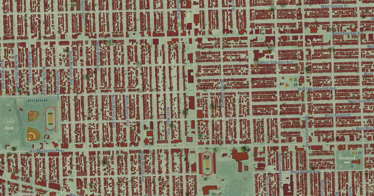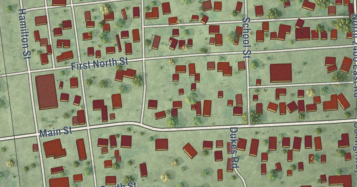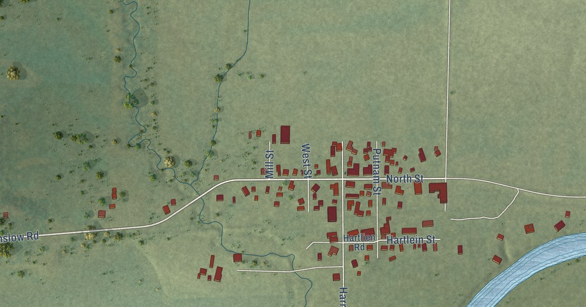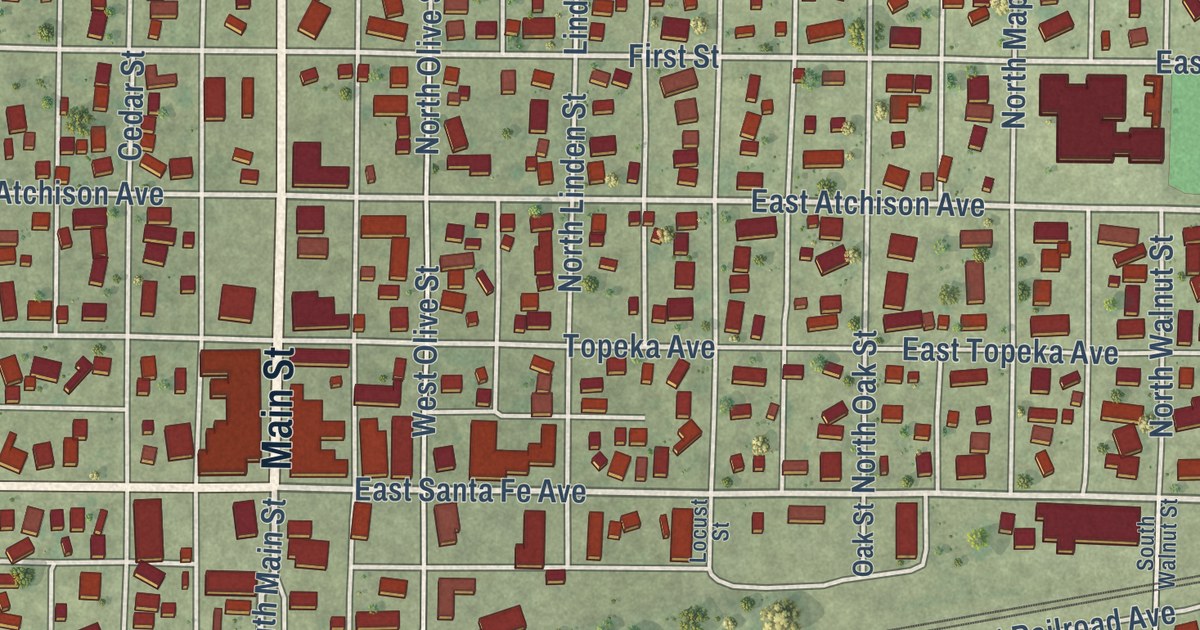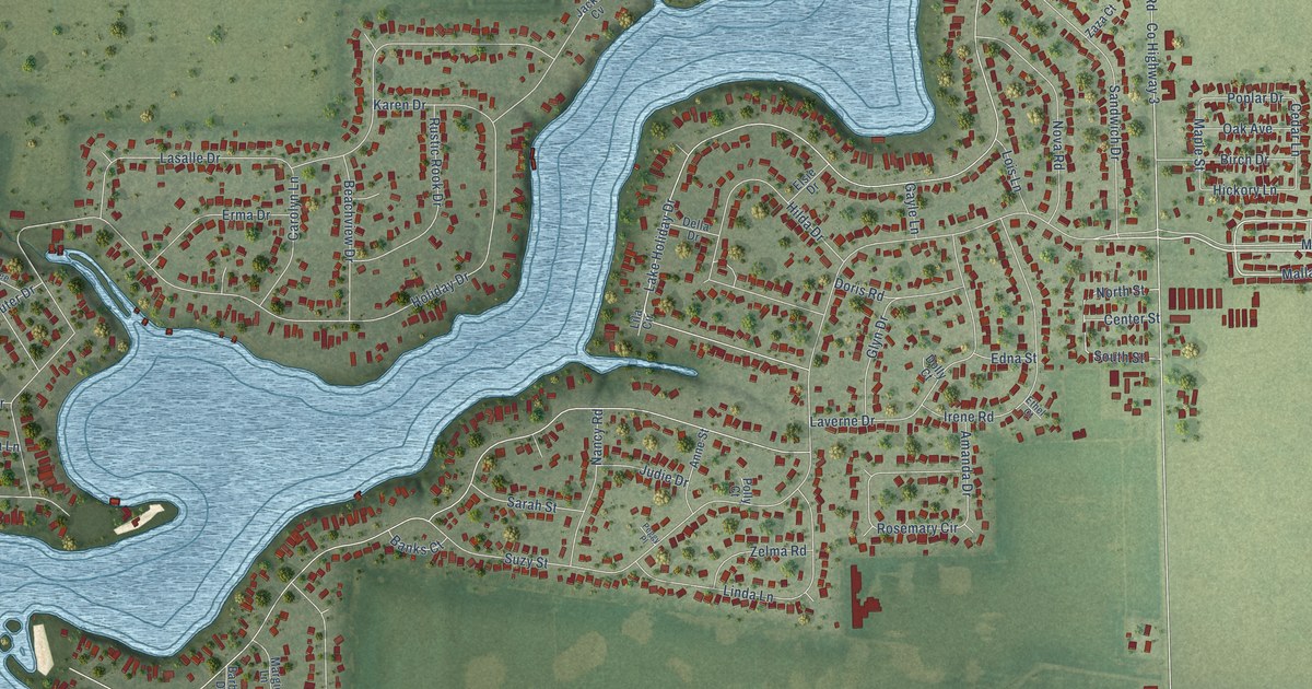
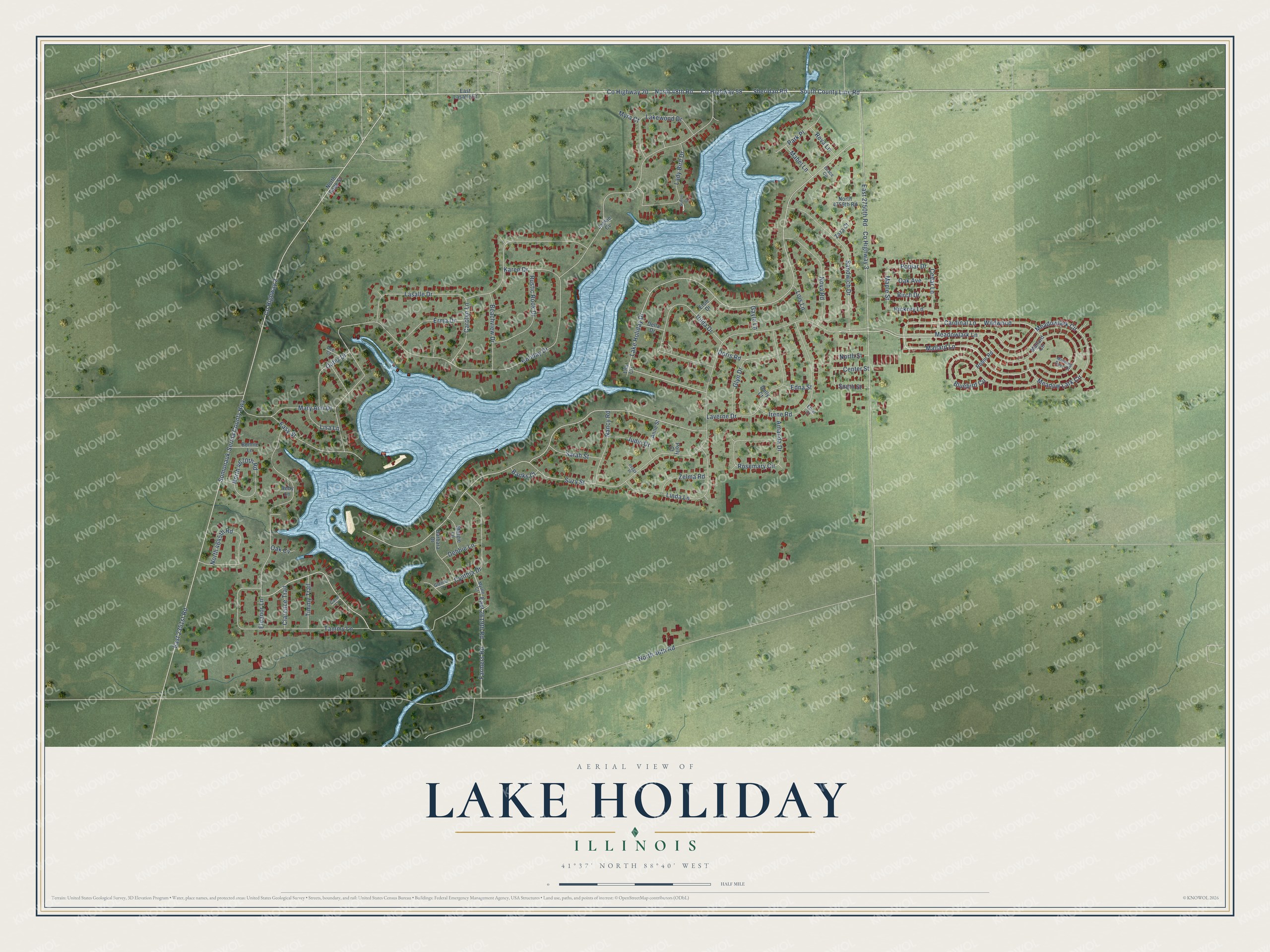
This beautifully detailed map of Lake Holiday, Illinois was created in 2026 using aerial imagery combined with modern topographical, census, street and landmark data. It’s a one-of-a-kind view of Lake Holiday that combines accurate data with a vintage aesthetic. The map shows every building in its true location, many of the roads carry their names, and the shaded topographic relief shows the shape of the land.
Explore an aerial view of Lake Holiday, Illinois
On the map you’ll find Wildwood, along with County Highway 20, Suzy Street, Sheridan Road, County Highway 58, Mallard Lane, Meadowlark Lane, Lake Holiday Drive, Cardinal Lane, Holiday Drive, North 46th Road, East 2351st Road, and more. If you look closely you can even find your house accurately drawn in its correct location. Zoom in on the preview to look for yours.
Did you know this piece of Lake Holiday, Illinois history?
Lake Holiday began in 1965, when Somonauk Creek was dammed to form the lake. It was planned as a lake resort community. Wildwood, a modular home community, was built across the highway around the same time.
Take a closer look at the Lake Holiday map
Street names on the Lake Holiday, Illinois map
These names are printed on the map of Lake Holiday, Illinois.
Streets and roads: County Highway 20, Suzy Street, Sheridan Road, County Highway 58, Mallard Lane, Meadowlark Lane, Lake Holiday Drive, Cardinal Lane, Wildwood, Holiday Drive, North 46th Road, East 2351st Road.
More street names, A to Z
Abby Lane, Amanda Drive, Anne Street, Banks Court, Barbara Drive, Beachview Drive, Birch Drive, Bluebird Circle, Bonnie Lane, Carol Court, Carolyn Lane, Cedar Lane, Center Street, Clarence Trail, County Highway 2, County Highway 3, Cynthia Drive, Debbie Lane, Dee Court, Della Drive, Dolly Court, Doris Road, East 2619th Road, East 2750th Road, East Lasalle Street, Easy Street, Edna Street, Eleanor Lane, Elsie Drive, Erma Drive, Ethel Court, Farmers Road, Gayle Lane, Glenda Court, Glyn Drive, Grace Circle, Hickory Lane, Hilda Drive, Irene Road, Jackie Cv, Judie Drive, Karen Drive, Lady Bird Drive, Lakewood Drive, Lasalle Drive, Laverne Drive, Lila Circle, Linda Lane, Lisa Lane, Lois Lane, Mabel Lane, Mallard Circle, Maple Street, Margie Lane, Mary Ann Drive, Meadow Lark Circle, Meadowlark Circle, Morning Dove Court, Myra Court, Myrtle Court, Nancy Road, North 48th Road, North 4645th Road, North 4670th Road, North 4759th Road, North Gage Street, North Street, Nova Road, Oak Avenue, Oak Cv, Outer Drive, Park Place, Peggy Place, Polly Court, Poplar Drive, Reva Lane, Robin Road, Rosemary Circle, Rustic Rook Drive, Sandwich Drive, Sarah Street, Somonauk-Serina County Highway, South County Line Road, South Street, Sunset Court, Tammy Lane, Timmy Trail, Zaza Court, Zelma Road.
See the Lake Holiday, Illinois map on a wall
The Lake Holiday map as an 18 x 24 inch print in a black frame.

This beautifully detailed map of Lake Holiday makes an attractive addition to your office, library, or den, and it can even be used to teach children the geography and history of the area. It also makes a great gift for anyone who grew up in Lake Holiday or moved away. When you’re done exploring, click here to get your copy of the Lake Holiday map.