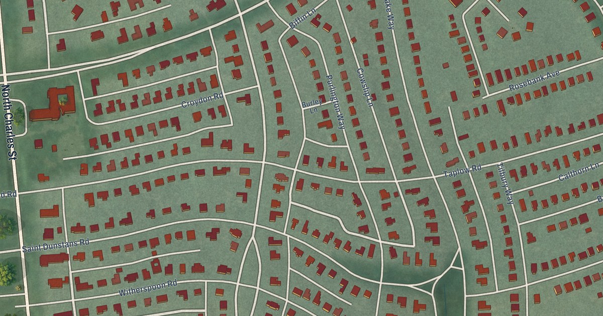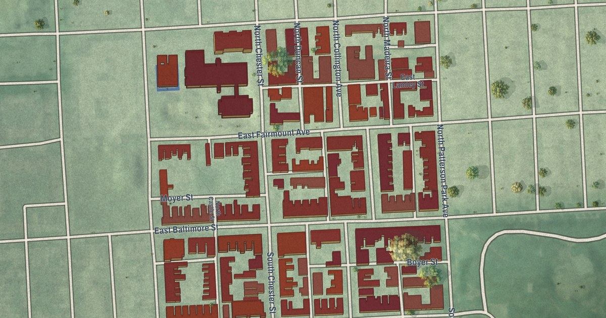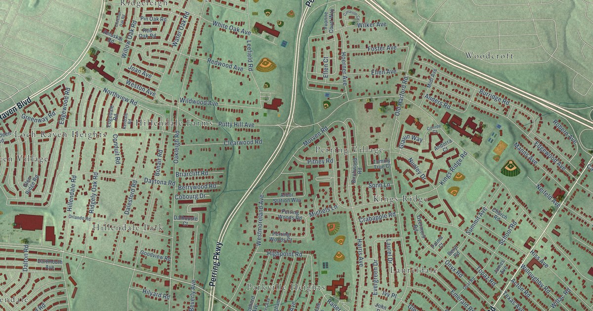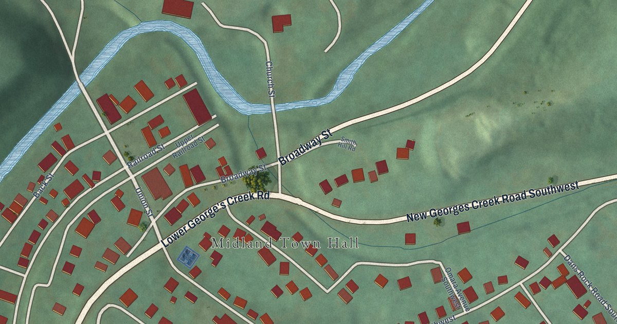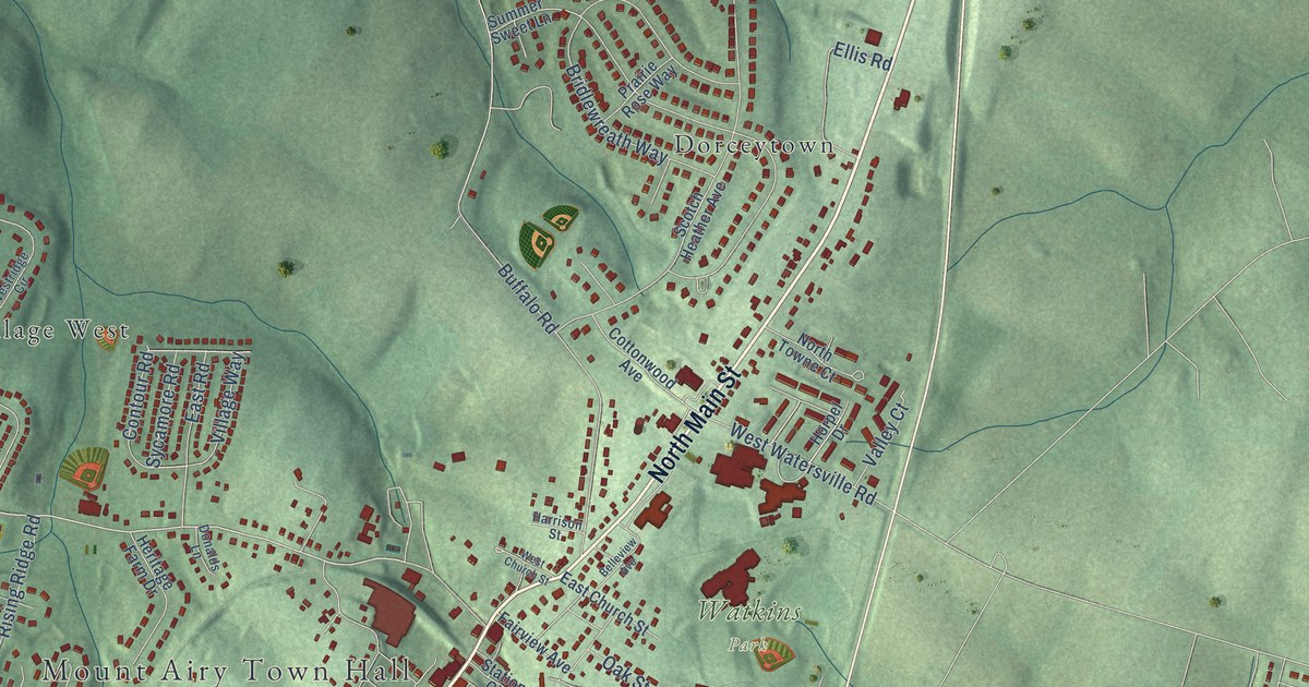
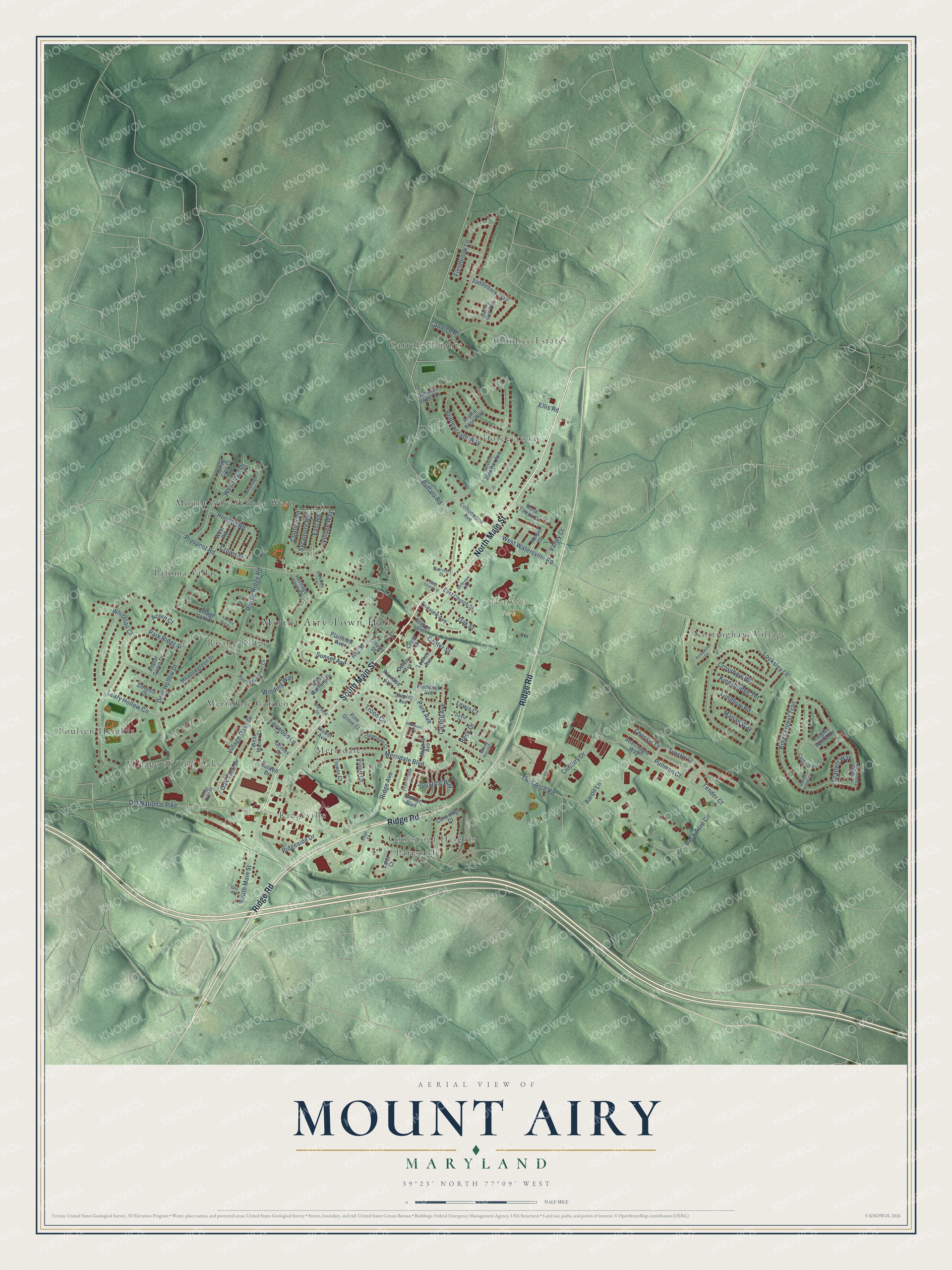
This beautifully detailed map of Mount Airy, Maryland was created in 2026 using aerial imagery combined with modern topographical, census, street and landmark data. It's a modern aerial view of Mount Airy in Frederick County, Maryland, that combines modern data with a vintage aesthetic. The roads feature printed names, and if you look closely you can find your exact house accurately shown in its correct location.
Explore an aerial view of Mount Airy, Maryland
On this map you'll find Mount Airy Town Hall, Watkins Park, Candice Estates, Carroll Heights, Conestoga Heights, Dorceytown, Merridale, Merridale Gardens, Mount Airy Village West, Nottingham Village, Paloma Villa, Parrsville, and more. Each red shape is a building, so zoom in on the preview and look for yours.
Every town has a first chapter, and Mount Airy is no exception. The Town of Mount Airy puts it this way: "History tells of an Irish B&O brakeman whose ears were freezing from the keen, cold air which crosses Parr's Ridge. He suggested the name Mount Airy would be appropriate. The name met with the favor of the people and became the Town's legal name."
Mount Airy is a town in Frederick County. The Census Bureau counted 9,654 people here in 2020.
Take a closer look at the Mount Airy map
Names on this map
These names are printed on this map.
Places: Mount Airy Town Hall, Watkins Park, Candice Estates, Carroll Heights, Conestoga Heights, Dorceytown, Merridale, Merridale Gardens, Mount Airy Village West, Nottingham Village, Paloma Villa, Parrsville, Poulsen Heights, Ridgeville, Rising Ridge and Village of Tall Oaks.
Streets and roads: North Main Street, South Main Street, Ridge Road, Trestle Street, Prospect Road, Sunset Avenue, Back Acre Circle, Twin Arch Road, Rising Ridge Road, Buffalo Road, Leafy Hollow Circle, Longbow Road.
More street names, A to Z
Aaron Lane, Acorn Court, Arrowwood Circle, Barker Boulevard, Beck Drive, Belleview Avenue, Bridlewreath Way, Calvary Street, Candice Drive, Carroll Avenue, Castle Green Circle, Center Street, Century Drive, Chessie Court, Cloverdale Court, Conestoga Court, Contour Road, Cottonwood Avenue, Crossbow Road, Cross Street, Crown Street, Culwell Drive, David Court, Day Avenue, Deer Hollow Drive, Donalds Lane, Dorsey Avenue, East Church Street, East Road, Ellis Road, Fairview Avenue, Fairwood Lane, Fieldbrook Lane, Flower Avenue, Flower Court, Frederick Avenue, Gallant Knight Lane, Grimes Court, Harrison Street, Heritage Farm Drive, Hill Street, Hood Street, Horizon Road, Horpel Drive, Jousting Way, Kingsbridge Terrace, Kings Forest Trail, Knights Forest Trail, Knights Squire Road, Lantern Hill Court, Larel Court, Lewis Court, Locksley Lane, Lookout Avenue, Marian Way, Meadowgreen Drive, Merridale Boulevard, Midway Avenue, North Towne Court, North Warfield Drive, Oak Street, Oak View Drive, Old National Pike, Paradise Avenue, Park Avenue, Park Ridge Drive, Pine Grove Court, Plainview Avenue, Poplar Grove Drive, Prairie Rose Way, Promenade Lane, Pullman Court, Rambling Sunset Circle, Ridge Avenue, Ridge Court, Ridgeside Drive, Saddleback Trail, Scarlett Way, Scotch Heather Avenue, Searchlight Way, Shipley Avenue, Sleighill Court, Spring Gate Court, Station Circle, Sterling Glen Way, Summer Sweet Lane, Sycamore Road, Tender Court, Troon Circle, Valley Court, Village Gate Drive, Village Oaks Court, Village Oaks Drive, Village Way, Violet Court, Warfield Drive, West Church Street, West Manor Court, Westridge Circle, Westridge Drive, West Road, West Watersville Road, Whitetail Court, Wildwood Avenue, Winding Way, Windy Knoll Drive.
Created by KNOWOL in 2026. The buildings are small red shapes, the roads carry their printed names, and shaded relief shows the shape of the land. The title panel reads "AERIAL VIEW OF MOUNT AIRY MARYLAND" with 39°23' NORTH 77°09' WEST.
Hang it in the hallway, the office or the cabin, or give it to someone who left Mount Airy and still calls it home. Open the preview and look for a street you know. See sizes and frames for the Mount Airy map.