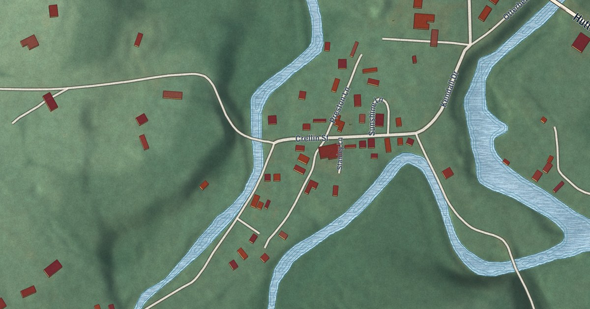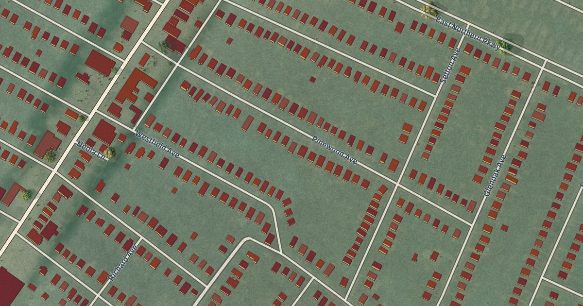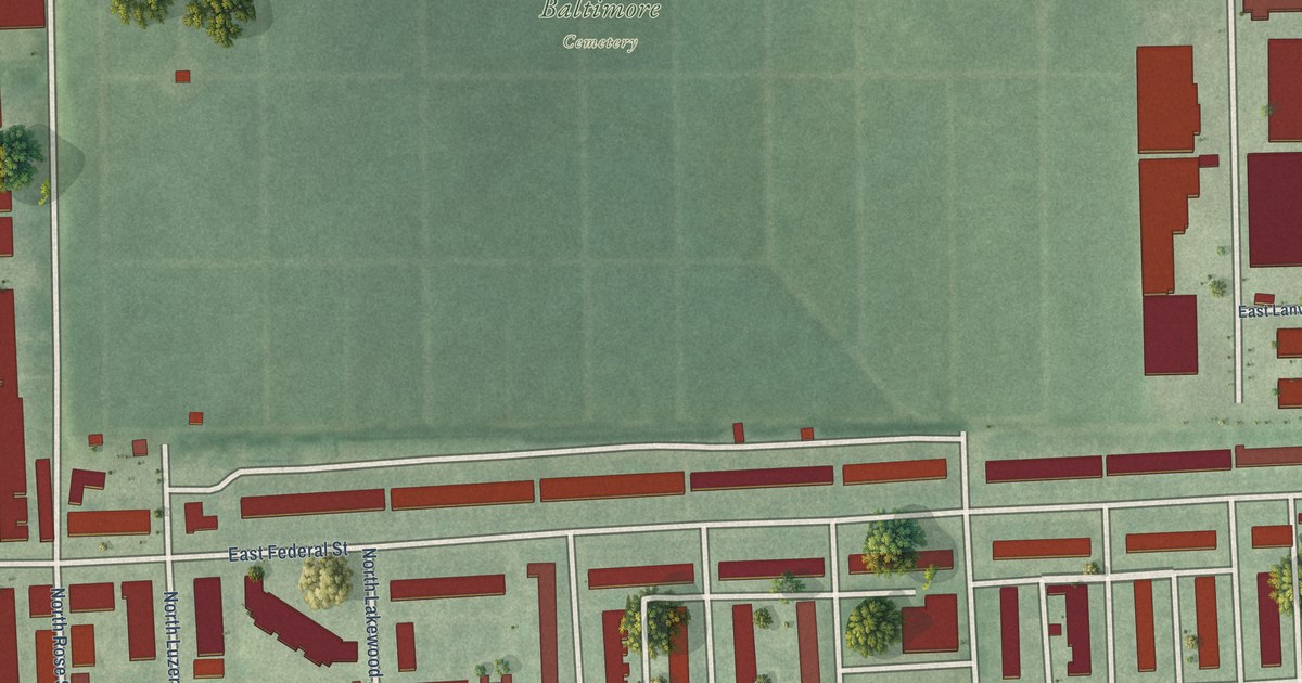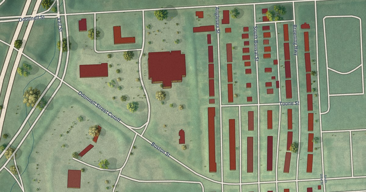
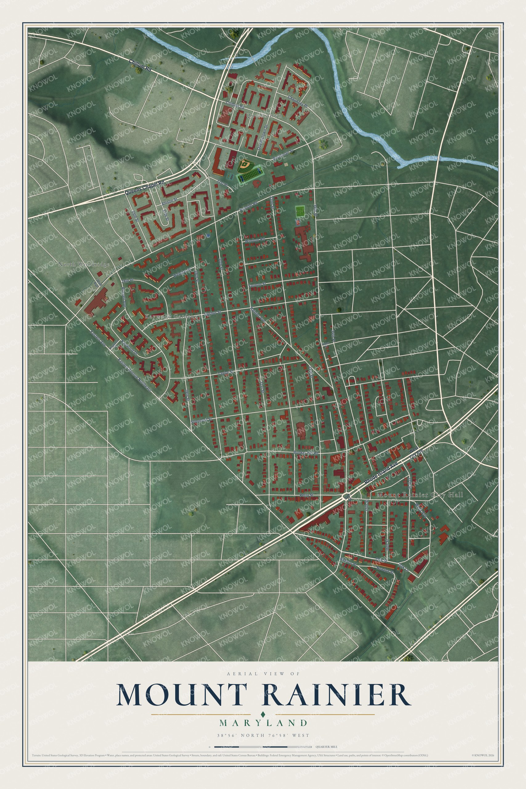
This beautifully detailed map of Mount Rainier, Maryland was created in 2026 using aerial imagery combined with modern topographical, census, street and landmark data. It’s a one-of-a-kind view of Mount Rainier that combines accurate data with a vintage aesthetic. The map shows every building in its true location, many of the roads carry their names, and the shaded topographic relief shows the shape of the land.
Explore an aerial view of Mount Rainier, Maryland
On the map you’ll find Mount Rainier City Hall, Kaywood Gardens, North Woodridge, and Queenstown, along with Rhode Island Avenue, Queens Chapel Road, Chillum Road, Otis Street, Oak Lane, 34th Street, Varnum Street, Arundel Road, and more. If you look closely you can even find your house accurately drawn in its correct location. Zoom in on the preview to look for yours.
Did you know this piece of Mount Rainier, Maryland history?
From the City of Mount Rainier: "The 100-acre Thomas Clemson farm was purchased by real estate developers after the Civil War ended. Clemson, a diplomat and son-in-law of John C. Calhoun, had returned to South Carolina with his family where they founded the university that bears their name. Local tradition has it that the surveyors of the new subdivision were from the Pacific Northwest and gave the town its name."
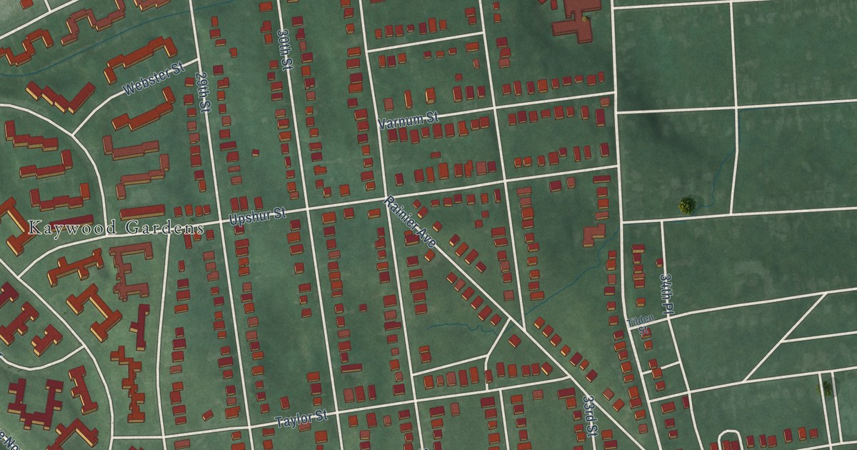
Take a closer look at the Mount Rainier map
Street and place names on the Mount Rainier, Maryland map
These names are printed on the map of Mount Rainier, Maryland.
Places: Mount Rainier City Hall, Kaywood Gardens, North Woodridge and Queenstown.
Streets and roads: Rhode Island Avenue, Queens Chapel Road, Chillum Road, Otis Street, Oak Lane, 34th Street, Varnum Street, Arundel Road, Buchanan Street, Allison Street, 37th Street, Eastern Avenue.
More street names, A to Z
22nd Avenue, 25th Street, 27th Street, 28th Place, 28th Street, 29th Street, 30th Street, 31st Place, 31st Street, 32nd Street, 33rd Street, 34th Place, 35th Street, 36th Street, Bunker Hill Road, Chauncey Place, Eastern Avenue Northeast, Kaywood Drive, Kaywood Place, Newton Place, Newton Street, Perry Street, Queenstown Drive, Rainier Avenue, Russell Avenue, Shepherd Street, Taylor Street, Tilden Street, Upshur Street, Webster Street, Wells Avenue, West City Avenue, Windom Road.
See the Mount Rainier, Maryland map on a wall
The Mount Rainier map as an 18 x 24 inch print in a black frame.

This beautifully detailed map of Mount Rainier makes an attractive addition to your office, library, or den, and it can even be used to teach children the geography and history of the area. It also makes a great gift for someone who left Mount Rainier and still calls it home. When you’re done exploring, click here to get your copy of the Mount Rainier map.