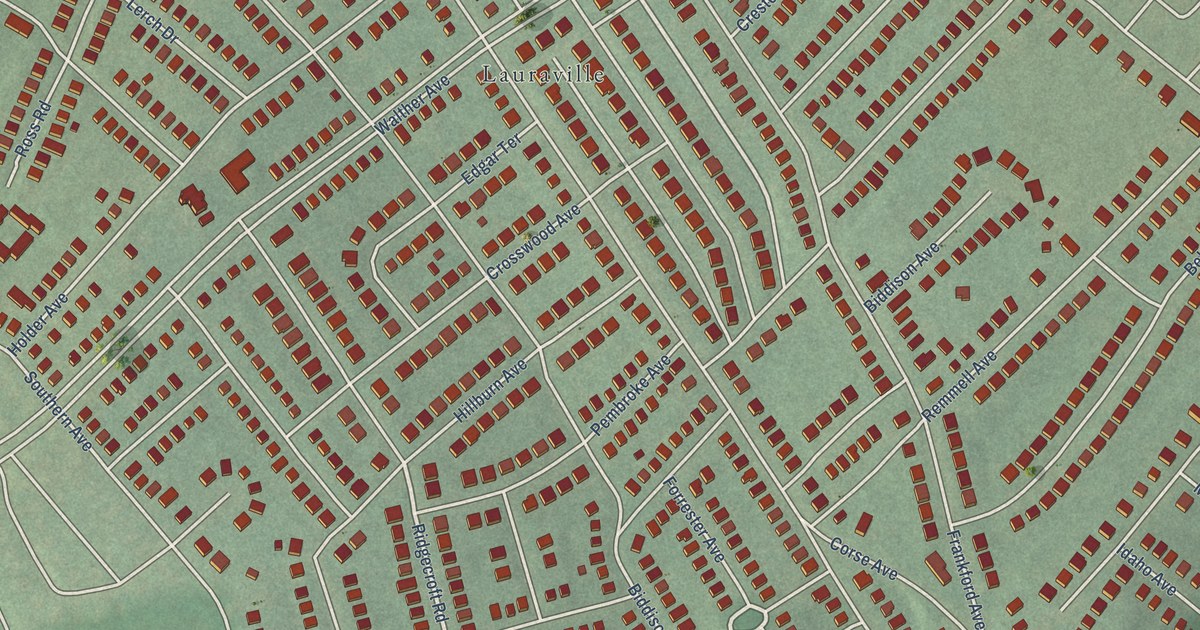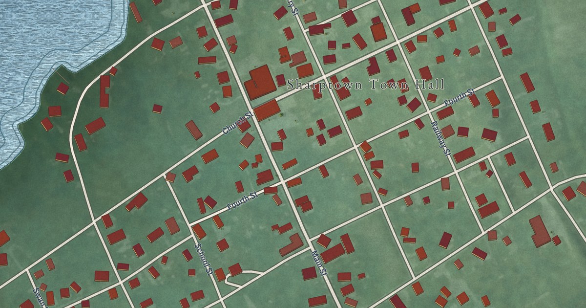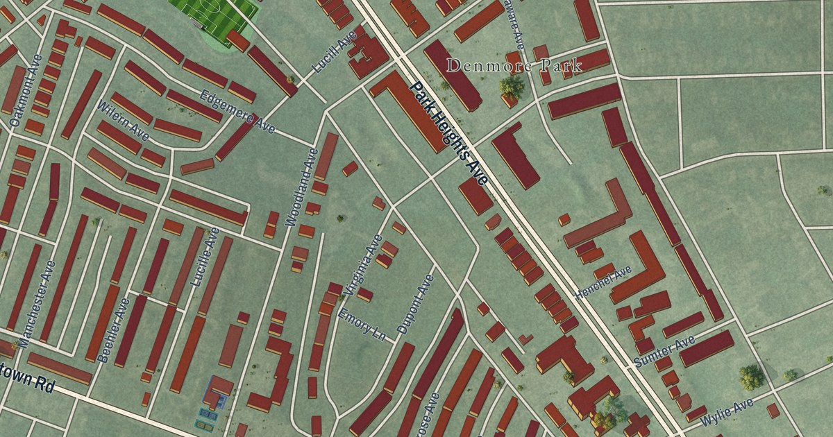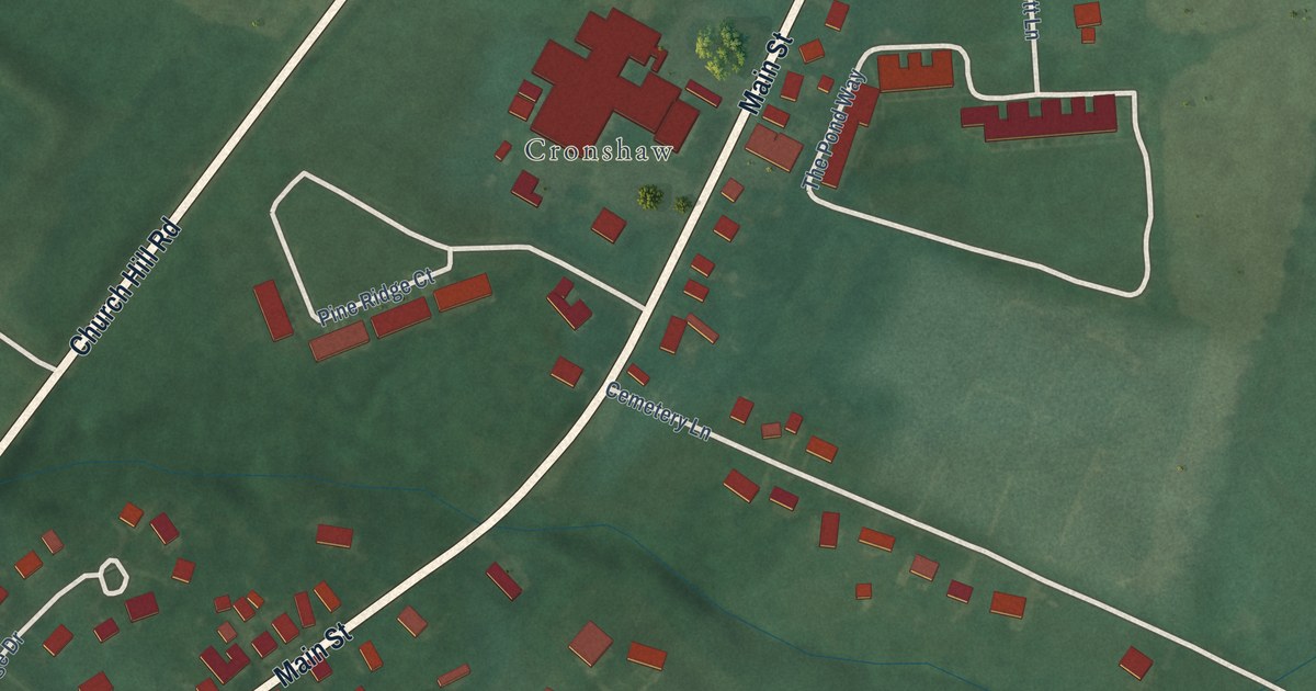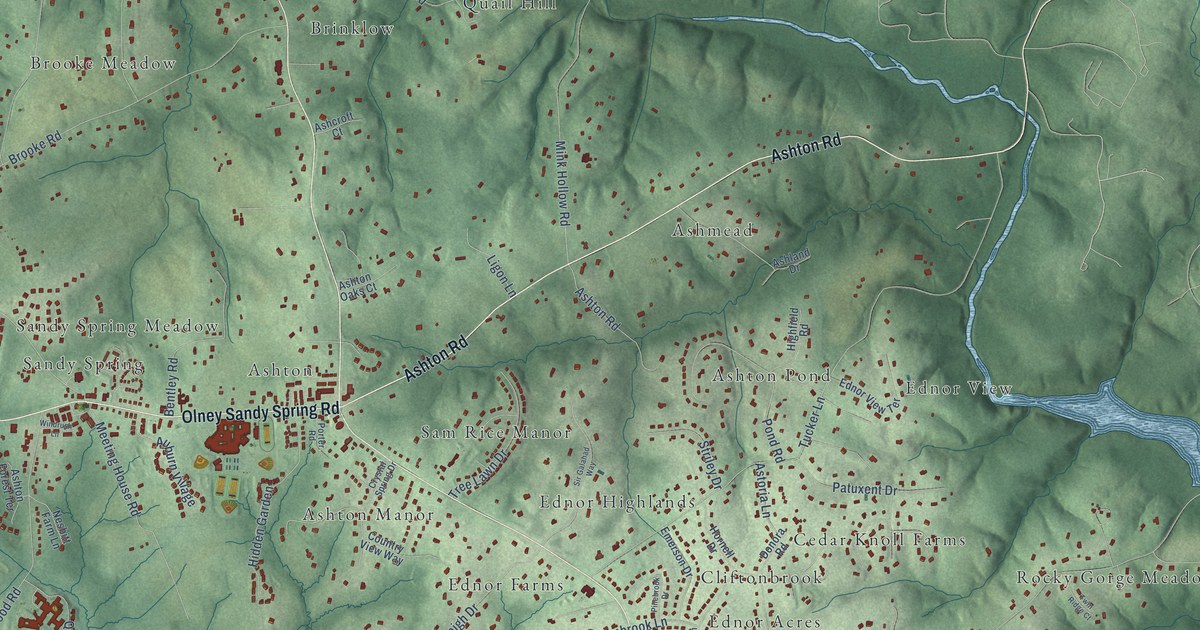
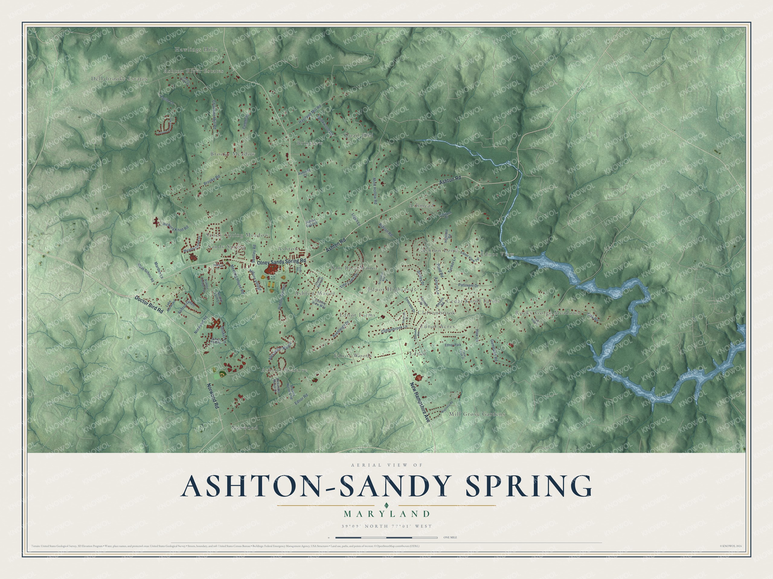
This beautifully detailed map of Ashton-Sandy Spring, Maryland was created in 2026 using aerial imagery combined with modern topographical, census, street and landmark data. It's a modern aerial view of Ashton-Sandy Spring in Montgomery County, Maryland, that combines modern data with a vintage aesthetic. The roads feature printed names, and if you look closely you can find your exact house accurately shown in its correct location.
Explore an aerial view of Ashton-Sandy Spring, Maryland
On this map you'll find Ashmead, Ashton, Ashton Manor, Ashton Pond, Ashton Preserve, Ashton River Estates, Brinklow, Brooke Meadow, Cedar Knoll Farms, Cliftonbrook, Dellabrooke Estates, Ednor, and more. Each red shape is a building, so zoom in on the preview and look for yours.
Ashton-Sandy Spring has a story worth telling. The Historical Marker Database puts it this way: "Sandy Spring has had large Quaker and African American populations since its founding in the 1720s. Encouraged by their regional and national Religious Society, most Sandy Spring Quakers had freed their slaves by about 1820, creating a significant free black population in the area."
Ashton-Sandy Spring is a community in Montgomery County.
Take a closer look at the Ashton-Sandy Spring map
Names on this map
These names are printed on this map.
Places: Ashmead, Ashton, Ashton Manor, Ashton Pond, Ashton Preserve, Ashton River Estates, Brinklow, Brooke Meadow, Cedar Knoll Farms, Cliftonbrook, Dellabrooke Estates, Ednor, Ednor Acres, Ednor Farms, Ednor Highlands, Ednor View, Ednor Woods, Hawlings Hills, Mill Grove Gardens, Norwood, Quail Hill, Rocky Gorge Meadows, Sam Rice Manor, Sandy Spring, Sandy Spring Meadow and Ednor Park.
Streets and roads: New Hampshire Avenue, Ashton Road, Olney Sandy Spring Road, Norwood Road, Doctor Bird Road, Ashton Green, Ednor Road, Brooke Road, Tucker Lane, Chandlee Mill Road, Mink Hollow Road, Haviland Mill Road.
More street names, A to Z
Alexander Manor, Alexander Manor Drive, Ashcroft Court, Ashland Drive, Ashton Forest Terrace, Ashton Oaks Court, Astoria Lane, Auburn Village, Avenleigh Drive, Bentley Road, Brinkwood Road, Bryants Nursery Road, Celebrity, Clear Creek Drive, Cliftonbrook Lane, Country View Way, Crystal Spring Drive, Dellabrooke Farm Way, Donora Road, Ednor View Terrace, Emerson Drive, Gadsden Avenue, Gamewell Road, Haw Lane, Hickory Knoll Road, Hidden Garden, Highfield Road, Hornell Drive, James Creek Court, Lake Norwood, Ligon Lane, Link Road, Magnolia Road, Marden Lane, Meadowsweet Drive, Meeting House Road, Nesbitt Farm Lane, Patuxent Drive, Pinebrook Drive, Pond Road, Porter Road, Pyrite Lane, Quaker Knoll Road, Quaker Lane, Sir Galahad Way, Slade School Road, Striley Drive, Tree Lawn Drive, Twin Ridge Court, Windrush Lane.
Created by KNOWOL in 2026. The buildings are small red shapes, the roads carry their printed names, and shaded relief shows the shape of the land. The title panel reads "AERIAL VIEW OF ASHTON-SANDY SPRING MARYLAND" with 39°09' NORTH 77°01' WEST.
It looks right in a kitchen, an office or a den, and it's a gift for anyone who grew up in Ashton-Sandy Spring or moved away. Open the preview and find your street. See sizes and frames for the Ashton-Sandy Spring map.