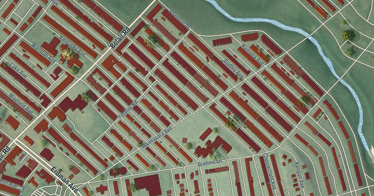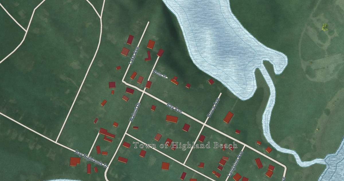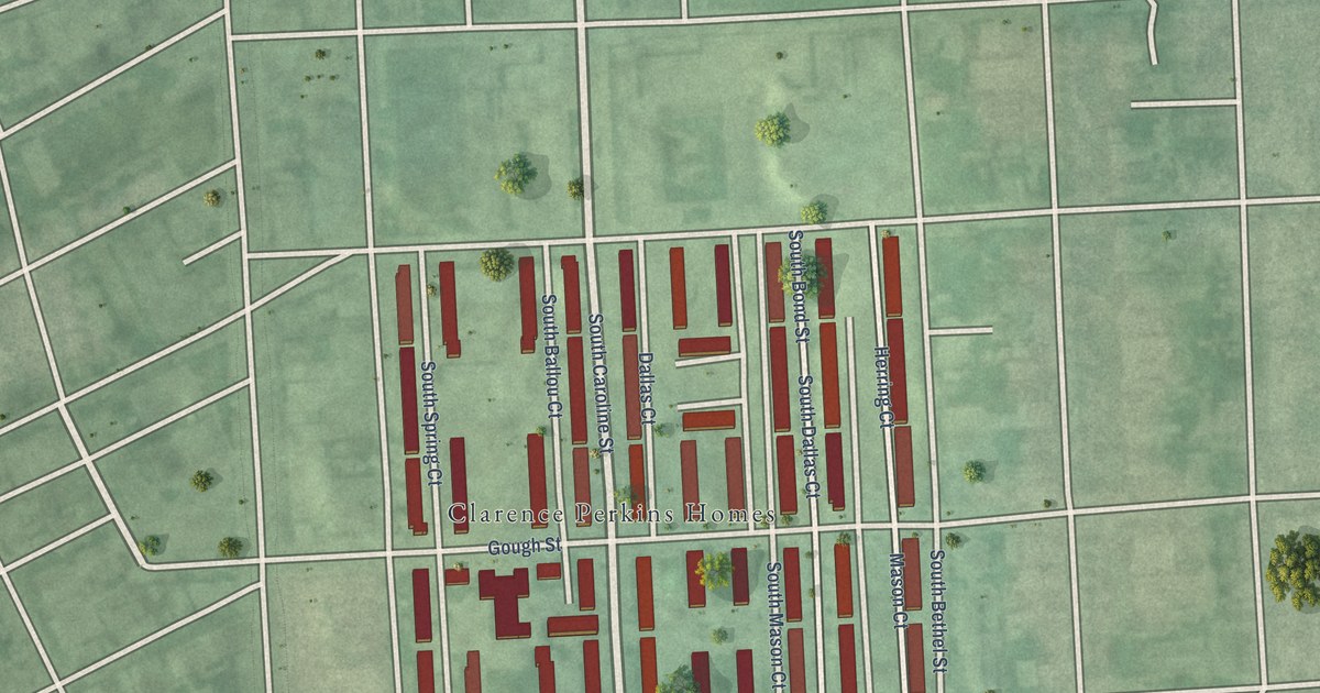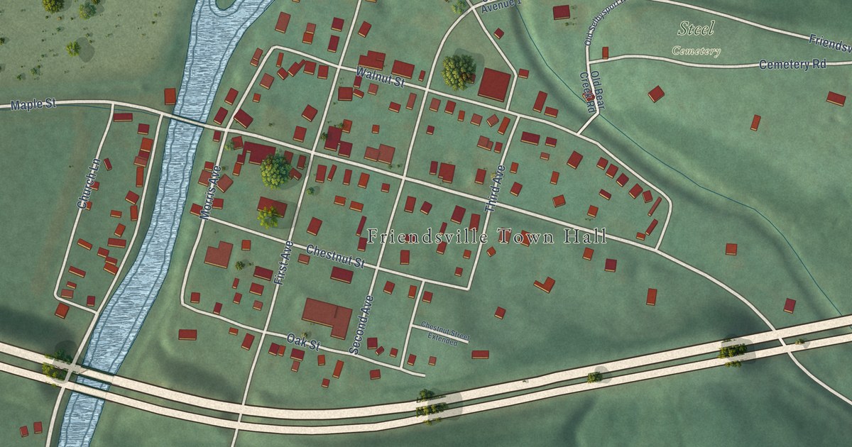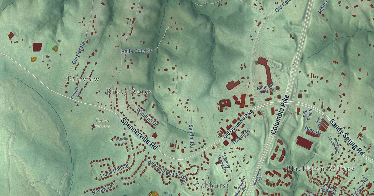
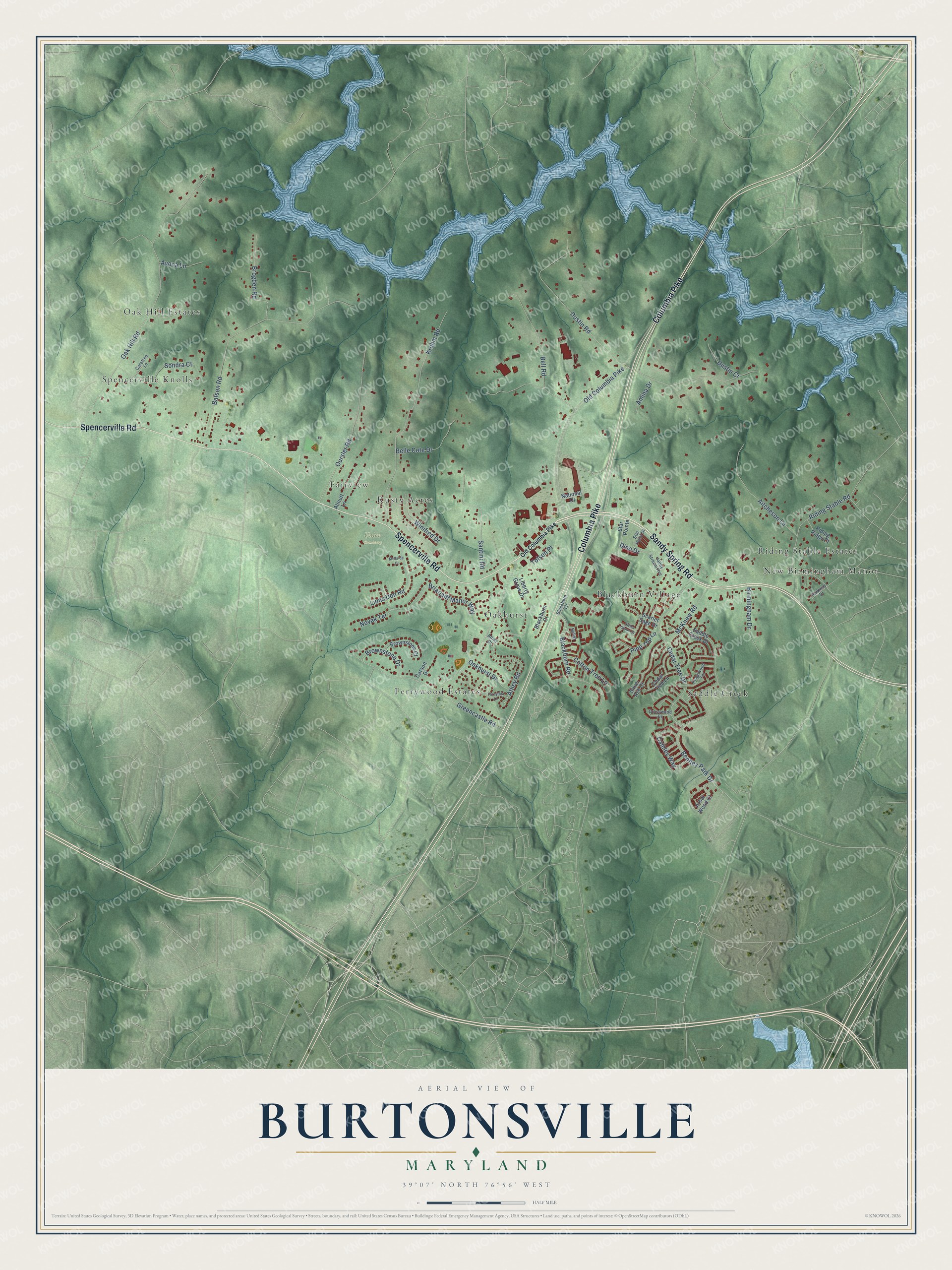
This beautifully detailed map of Burtonsville, Maryland was created in 2026 using aerial imagery combined with modern topographical, census, street and landmark data. It's a modern aerial view of Burtonsville in Montgomery County, Maryland, that combines modern data with a vintage aesthetic. The roads feature printed names, and if you look closely you can find your exact house accurately shown in its correct location.
Explore an aerial view of Burtonsville, Maryland
On this map you'll find Union Cemetery, Blackburn Village, Fairview, New Birmingham Manor, Oak Hill Estates, Oakhurst, Perrywood Estates, Riding Stable Estates, Rusty Acres, Saddle Creek, Spencerville Knolls, Sandy Spring Road, and more. Each red shape is a building, so zoom in on the preview and look for yours.
Every town has a first chapter, and Burtonsville is no exception. The Maryland Historical Trust puts it this way: "Replaced by a new elementary school c. 1950, the old school was sold in 1953. Bought by the Burtonsville Baptist Church in 1956, it was remodeled and used until the 1970's."
Burtonsville is a community in Montgomery County.
Take a closer look at the Burtonsville map
Names on this map
These names are printed on this map.
Places: Union Cemetery, Blackburn Village, Fairview, New Birmingham Manor, Oak Hill Estates, Oakhurst, Perrywood Estates, Riding Stable Estates, Rusty Acres, Saddle Creek and Spencerville Knolls.
Streets and roads: Sandy Spring Road, Columbia Pike, Spencerville Road, Old Columbia Pike, Dustin Road, Dino Drive, Oak Hill Road, Batson Road, Kruhm Road, Blackburn Road, Cedar Tree Drive, Greencastle Road.
More street names, A to Z
Aitcheson Lane, Allnutt Lane, Amina Drive, Arbor Wood Court, Athey Drive, Athey Road, Avoca Lane, Ballet, Belle Cote Drive, Bell Road, Bentley Park Drive, Birmingham Drive, Blackburn Court, Blackburn Lane, Briarcliff Manor Way, Brogden Road, Brownstone Court, Brownstone Drive, Camley Way, Carefree Lane, Carson Drive, Cedar Tree Lane, Cotton Tree Lane, Crosswood Drive, Dustin Court, Forsythia Lane, Liberty Grove Drive, Lions Den Road, McBride Court, McKnew Road, National Drive, Novak Terrace, Oakhurst Drive, Oursler Road, Parkway Drive, Pine Top Lane, Regalwood Terrace, Riding Ridge Court, Riding Stable Road, Saddle Creek Drive, Santini Road, Scarlet Sage Drive, Silver Ash Court, Sondra Court, Star Point Drive, Star Pointe, Swiss Stone Drive, Tolson Place, Valley Stream Avenue, Winifred Drive.
Created by KNOWOL in 2026. The buildings are small red shapes, the roads carry their printed names, and shaded relief shows the shape of the land. The title panel reads "AERIAL VIEW OF BURTONSVILLE MARYLAND" with 39°07' NORTH 76°56' WEST.
Hang it in the hallway, the office or the cabin, or give it to someone who left Burtonsville and still calls it home. Open the preview and look for a street you know. See sizes and frames for the Burtonsville map.