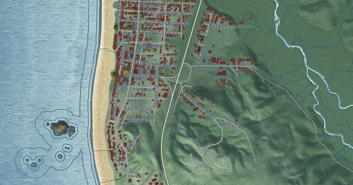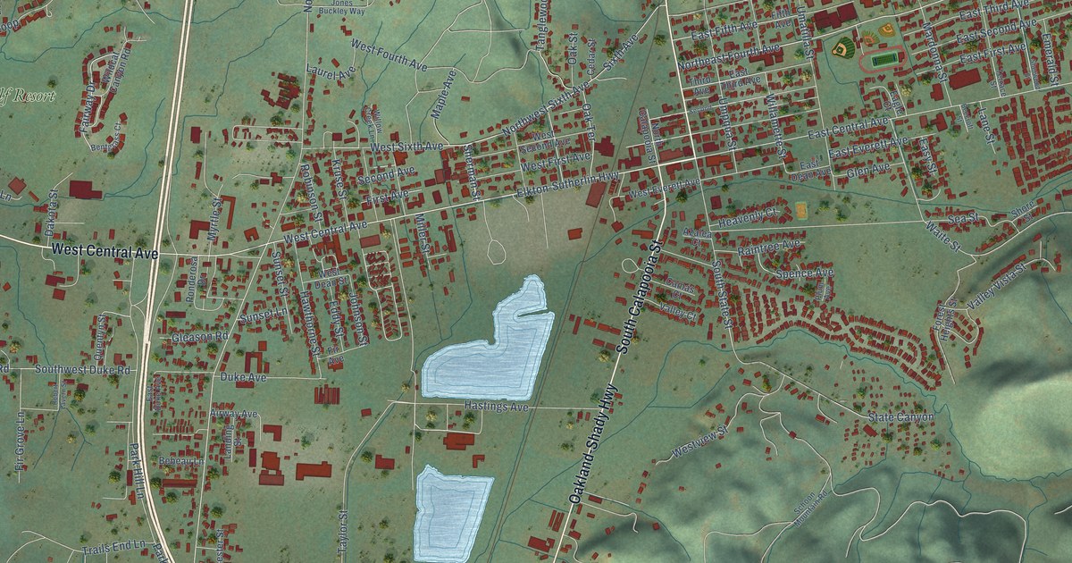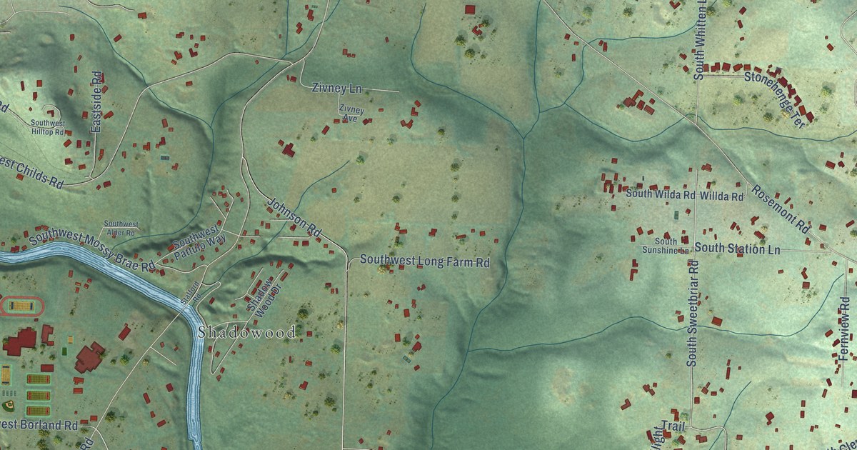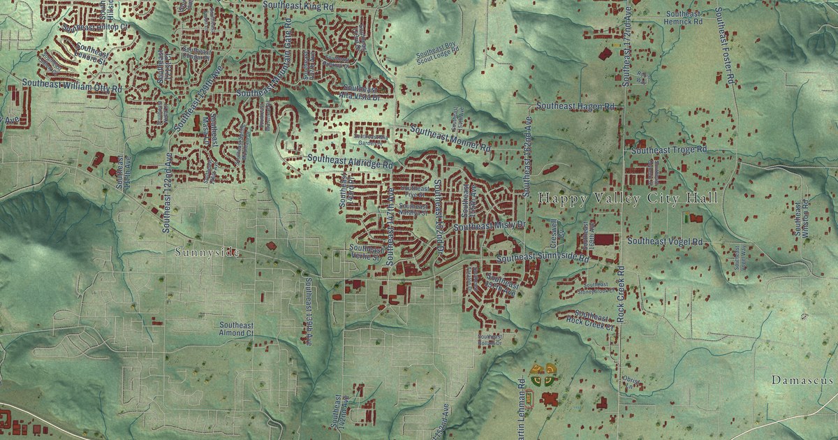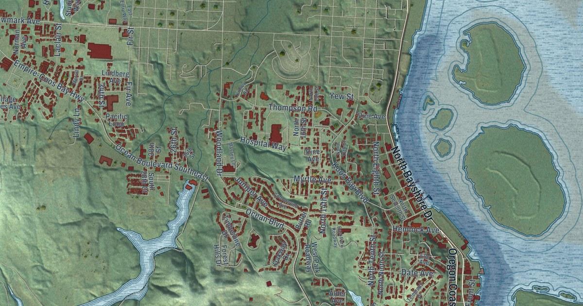
This beautifully detailed map of Coos Bay, Oregon was created in 2026 using aerial imagery combined with modern topographical, census, street and landmark data. It’s a one-of-a-kind view of Coos Bay that combines accurate data with a vintage aesthetic. The map shows every building in its true location, many of the roads carry their names, and the shaded topographic relief shows the shape of the land.
Explore an aerial view of Coos Bay, Oregon
On the map you’ll find Eastside, Englewood, Cooston, and Empire, along with Oregon Coast Highway, First Street, South First Street, North Bayshore Drive, Empire-Coos Bay Highway, Anderson Avenue, North Front Street, South Seventh Street, and more. If you look closely you can even find your house accurately drawn in its correct location. Zoom in on the preview to look for yours.
Did you know this piece of Coos Bay, Oregon history?
From the City of Coos Bay: "Coos Bay is the largest of the communities that comprise Oregon's Bay Area. The city, founded in the 1850's, was named Marshfield after the Massachusetts hometown of the city's founder J. C. Tolman, and was incorporated in 1874 under that name."
Coos Bay is a city in Coos County.
Take a closer look at the Coos Bay map
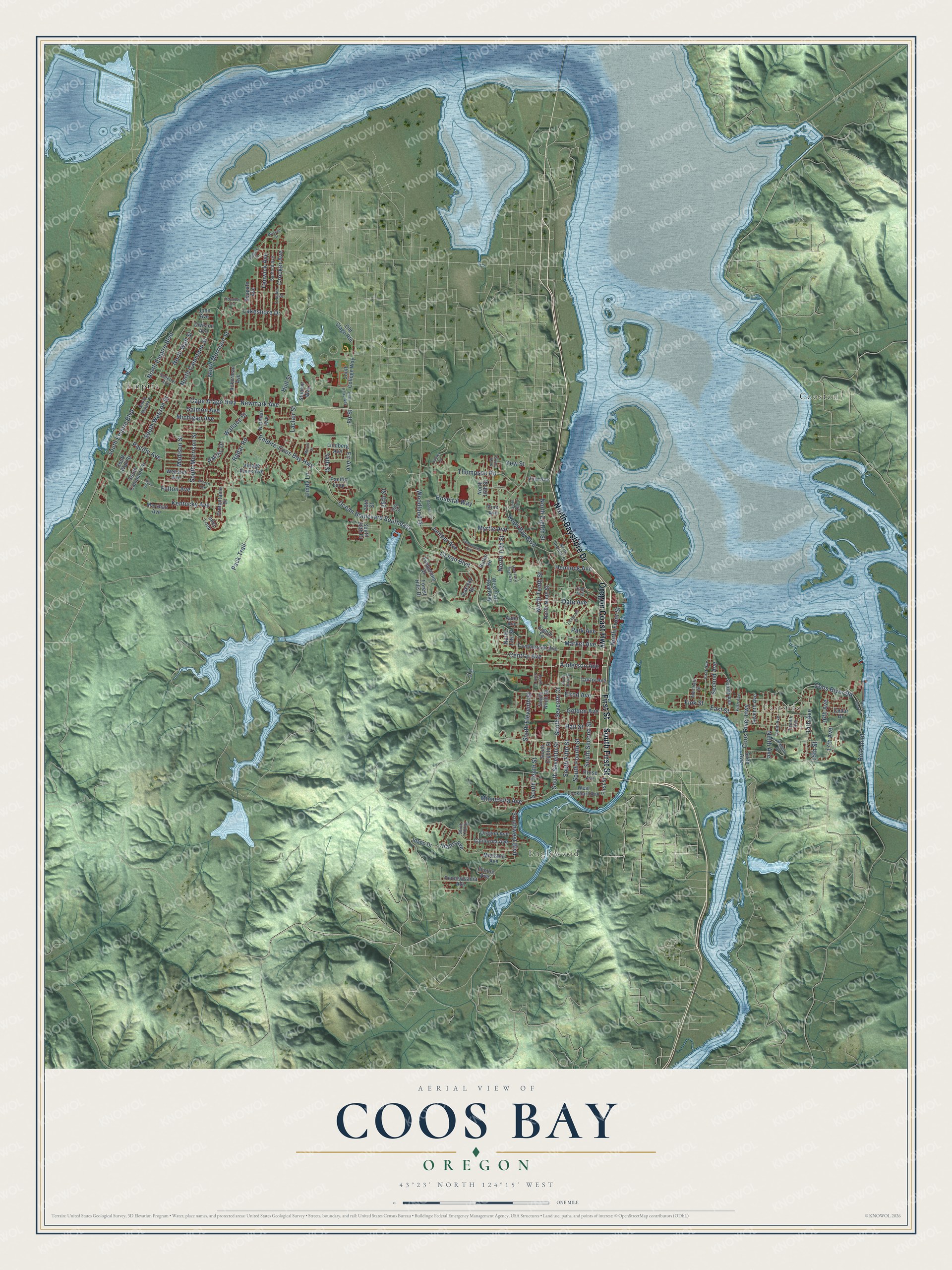
Street and place names on the Coos Bay, Oregon map
These names are printed on the map of Coos Bay, Oregon.
Places: Eastside, Englewood, Cooston and Empire.
Streets and roads: Oregon Coast Highway, First Street, South First Street, North Bayshore Drive, Empire-Coos Bay Highway, Anderson Avenue, North Front Street, South Seventh Street, Cape Arago Highway, Newmark Avenue, Ocean Boulevard, Woodland Drive.
More street names, A to Z
14th Avenue, 15th Street, 16th Avenue, 17th Avenue, 25th Street, 26th Street, 28th Street, 34th Street, Ackerman Avenue, Alder Avenue, Blanco Avenue, Butler Road, California Avenue, Canyon Drive, Cedar Drive, Central Avenue, Commercial Avenue, Coos River Highway, Coos River Road, Cottonwood Avenue, Crocker Avenue, Crocker Street, Curtis Avenue, Date Avenue, Division Avenue, East Entry Way, East Park Roadway, East Street, Eighth Terrace, Elm Avenue, Elrod Avenue, Fenwick Avenue, Fifth Avenue, Fink Street, Fir Avenue, First Avenue, Fir Street, Forest Hills Drive, Fourth Avenue, Fulton Avenue, Golden Avenue, Hall Street, Hemlock Avenue, Hospital Way, Hull Street, Idaho Avenue, Idaho Drive, Ida Lane, Illinois Avenue, Inlet Loop, John Avenue, Juniper Avenue, Kentucky Avenue, Kinney Road, Koos Bay Boulevard, Kruse Avenue, Laclair Street, Lakeshore Drive, Lindberg Avenue, Lindy Lane, Madison Street, Main Street, Market Avenue, Marshall Avenue, Massey Lane, Maxwell Street, Merchant Street, Merrill Street, Michigan Avenue, Minnesota Avenue, Montana Avenue, Myrtle Avenue, Ninth Avenue, Norman Avenue, North 13th Court, North 13th Street, North 14th Street, North 15th Street, North 16th Street, North Cammann Street, North Eighth Street, North Empire Boulevard, North Morrison Street, North Ninth Street, North Seventh Street, North Tenth Street, North Wall Street, Oakway Drive, Ocean Boulevard Southeast, Old Stage Route, Oregon Avenue, Pacific Avenue, Pacific Drive, Pacific Loop, Pack Trail, Park Avenue, Pennsylvania Avenue, Pine Avenue, Prefontaine Drive, Radar Road, Ross Inlet, Ross Inlet Road, Salmon Avenue, Sanford Avenue, Schetter Avenue, Seagate Avenue, Seagate Street, Second Avenue, Seventh Avenue, Sixth Avenue, South 17th Street, South 28th Court, South Cammann Street, South College Way, South Eighth Street, South Eleventh Street, South Empire Boulevard, South Fifth Street, South Fourth Street, South Marple Street, South Morrison Street, South Ninth Court, South Ninth Street, South Second Street, South Seventh Court, South Sixth Street, South Tenth Street, South Wall Street, South Wasson Street, Southwest Boulevard, Student Way, Telegraph Drive, Tenth Avenue, Thompson Road, Tideview Terrace, Timberline Drive, Twelfth Avenue, Village Pines Avenue, Vine Avenue, Wallace Street, Webster Avenue, West Lockhart Avenue, West Park Roadway, Yew Street.
See the Coos Bay, Oregon map on a wall
The Coos Bay map as an 18 x 24 inch print in a black frame.

This beautifully detailed map of Coos Bay makes an attractive addition to your office, library, or den, and it can even be used to teach children the geography and history of the area. It also makes a great gift for someone who left Coos Bay and still calls it home. When you’re done exploring, click here to get your copy of the Coos Bay map.