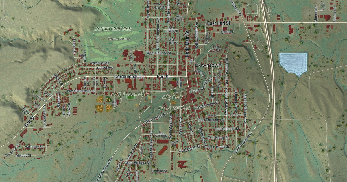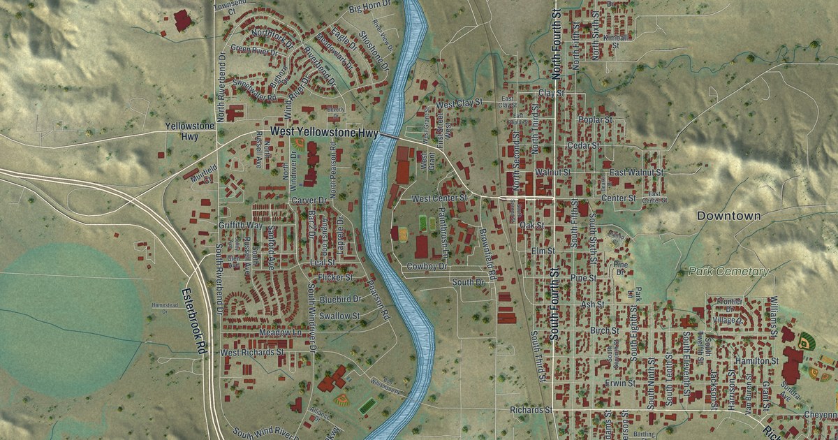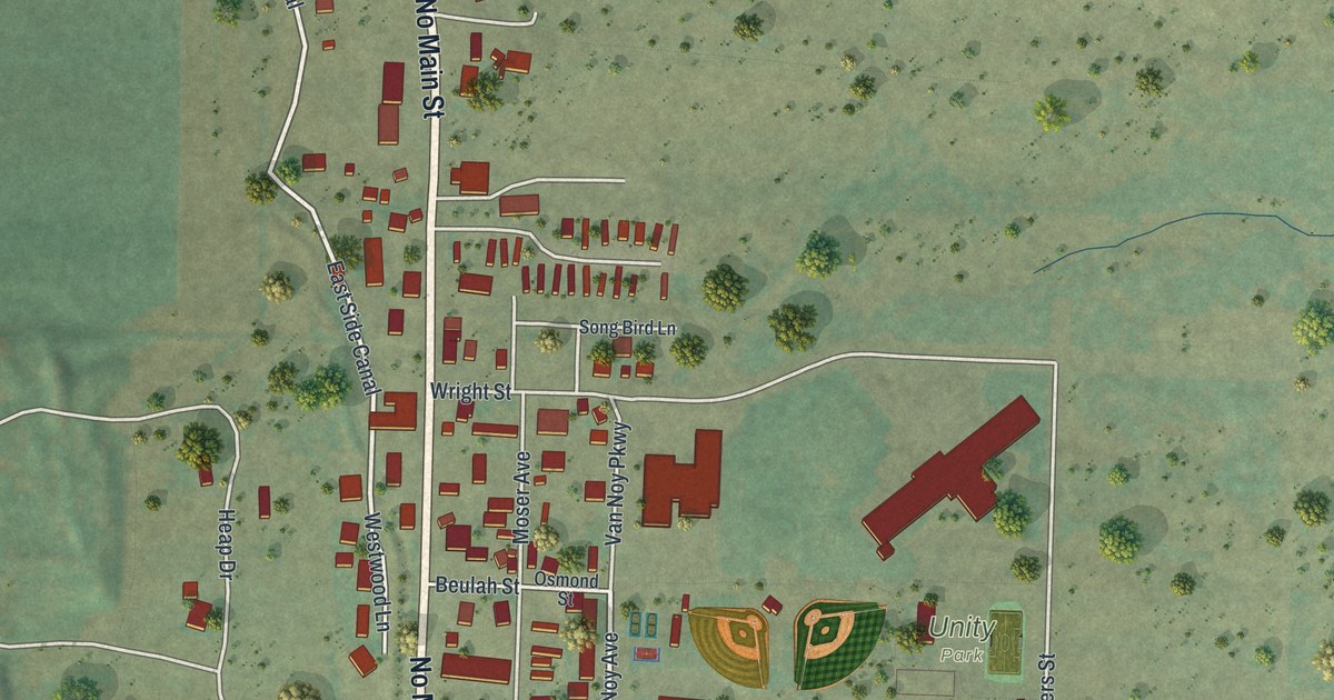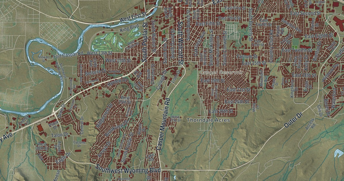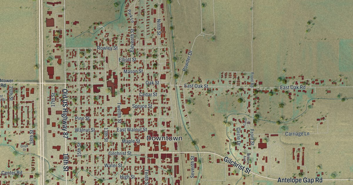
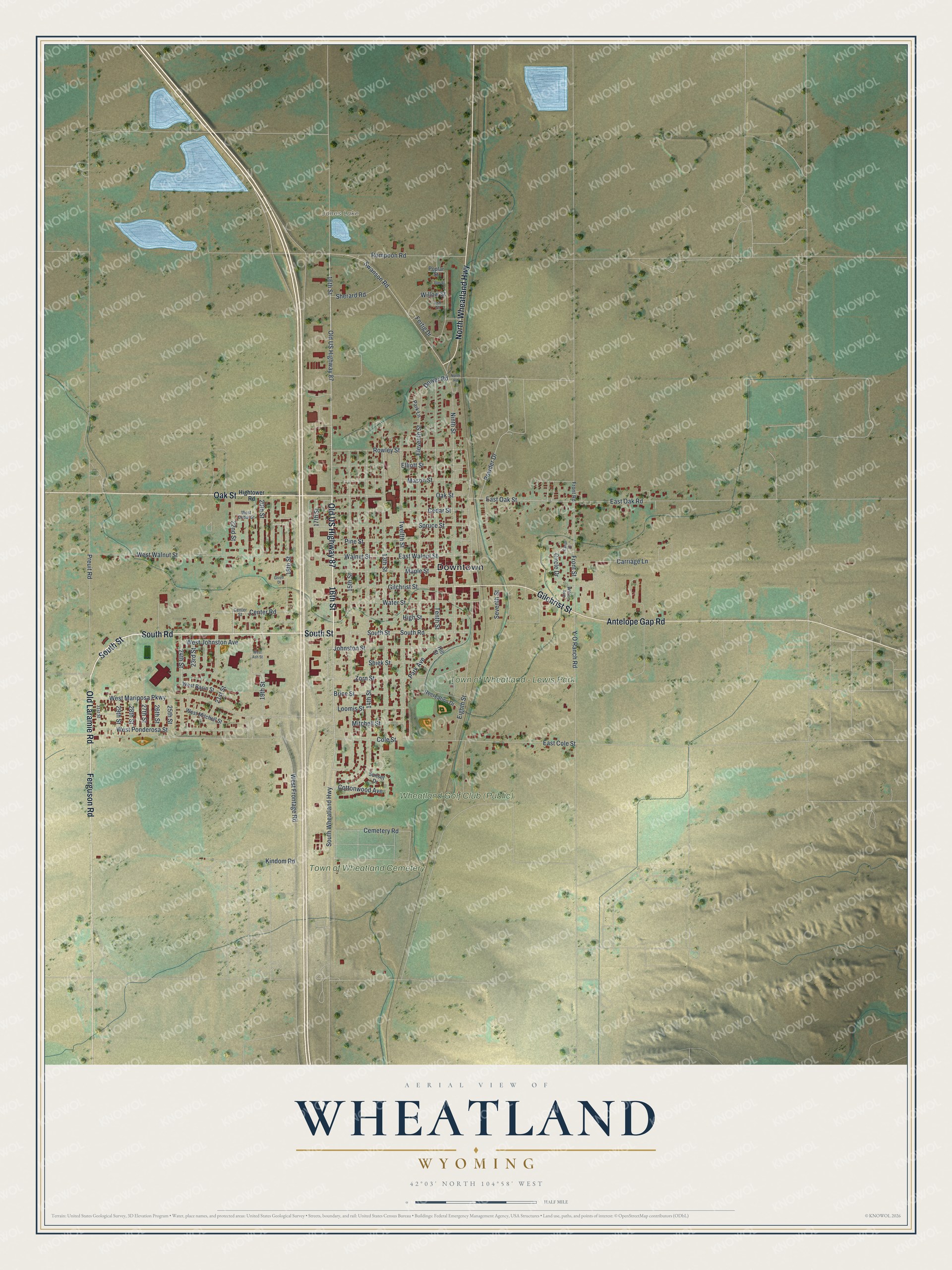
This beautifully detailed map of Wheatland, Wyoming was created in 2026 using aerial imagery combined with modern topographical, census, street and landmark data. It's a modern aerial view of Wheatland in Platte County, Wyoming, that combines modern data with a vintage aesthetic. The roads feature printed names, and if you look closely you can find your exact house accurately shown in its correct location.
Explore an aerial view of Wheatland, Wyoming
On this map you'll find Downtown, Jones Lake, Wheatland Golf Club (Public), Town of Wheatland – Lewis Park, Town of Wheatland Cemetery, 16th Street, Old US Highway 87, South Road, South Street, Oak Street, Ferguson Road, Old Laramie Road, and more. Each red shape is a building, so zoom in on the preview and look for yours.
Here is a piece of Wheatland history, in the words of the record. The WyoHistory puts it this way: "The final development involving Platte County’s water supply was the Laramie River Station of the Missouri Basin Power Project, which was built just east of Wheatland on the Laramie River. Construction of the power plant began in 1974 and by July 1, 1980, the first coal-fired unit was finished and producing electric power."
Wheatland is a town in Platte County. The Census Bureau counted 3,588 people here in 2020.
Take a closer look at the Wheatland map
Names on this map
These names are printed on this map.
Places: Downtown, Jones Lake, Town of Wheatland - Lewis Park and Town of Wheatland Cemetery.
Streets and roads: 16th Street, Old US Highway 87, South Road, South Street, Oak Street, Ferguson Road, Old Laramie Road, Antelope Gap Road, Gilchrist Street, North Wheatland Highway, 21st Street, Swanson Road.
More street names, A to Z
13th Street, 14th Street, 15th Street, 17th Street, 18th Street, 19th Street, 20th Street, 22nd Street, 23rd Street, 24th Street, 25th Street, 26th Street, 27th Street, 28th Street, 29th Street, 31st Street, Ash Street, Brice Street, Canal Street, Carriage Lane, Cedar Street, Cemetery Road, Center Road, Center Street, Circle Drive, Cole Street, Cottonwood Avenue, Dower Road, East Cole Street, East Oak Road, East Oak Street, East Walnut Street, Eighth Street, Eleventh Street, Elliott Street, Elm Street, Fertig Drive, Front Road, Front Street, Gloyd Drive, High Street, Hightower Road, Hill Street, Johnston Street, Kindom Road, Loomis Street, Maple Street, Mason Street, Mitchell Street, Ninth Street, North Road, Park Avenue, Park Lane, Pine Street, Poplar Street, Powder Drive, Preuit Road, Recreation Drive, Rompoon Road, Rowley Street, Seventh Street, Sherard Road, Shiek Street, South Wheatland Highway, Spruce Street, Sunset Drive, Tenth Street, Twelfth Street, Walnut Street, Water Street, West Ash Street, West Basin Street, West Cedar Street, West Frontage Road, West Johnston Avenue, West Mariposa Parkway, West Mitchell Street, West Ponderosa Street, West Walnut Street, Willow Street, Wilson Avenue, Y-O Ranch Road, Zorn Street.
Created by KNOWOL in 2026. The buildings are small red shapes, the roads carry their printed names, and shaded relief shows the shape of the land. The title panel reads "AERIAL VIEW OF WHEATLAND WYOMING" with 42°03' NORTH 104°58' WEST.
It suits a den, a classroom or a front hall, and it makes a gift for anyone with Wheatland roots. Open the preview and find the block you know. See sizes and frames for the Wheatland map.