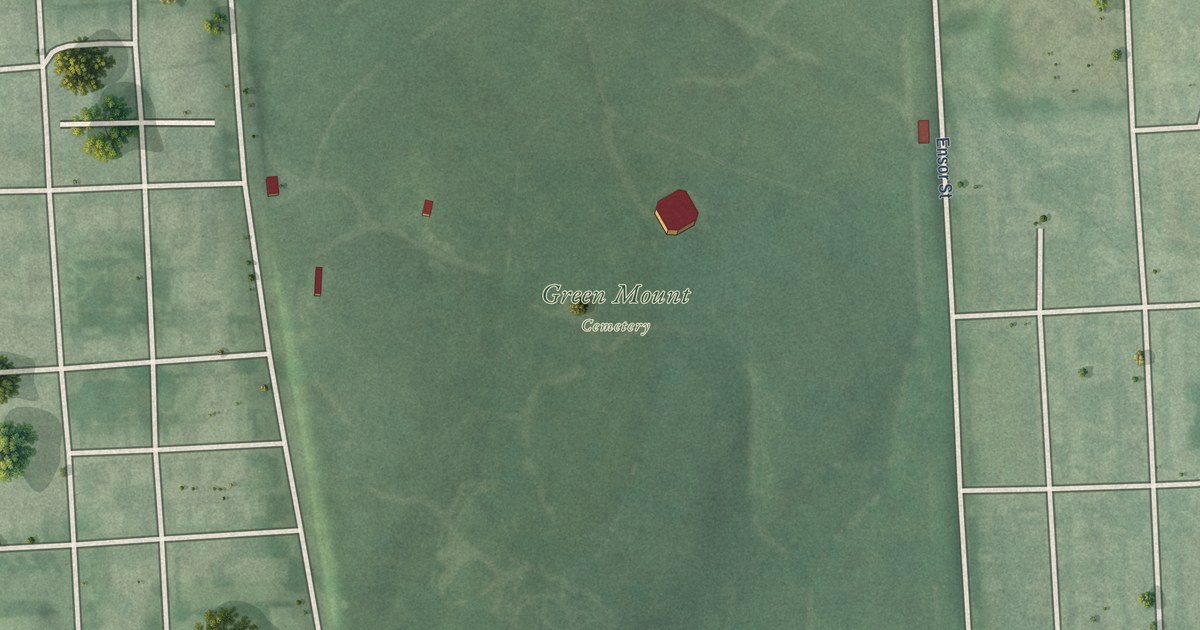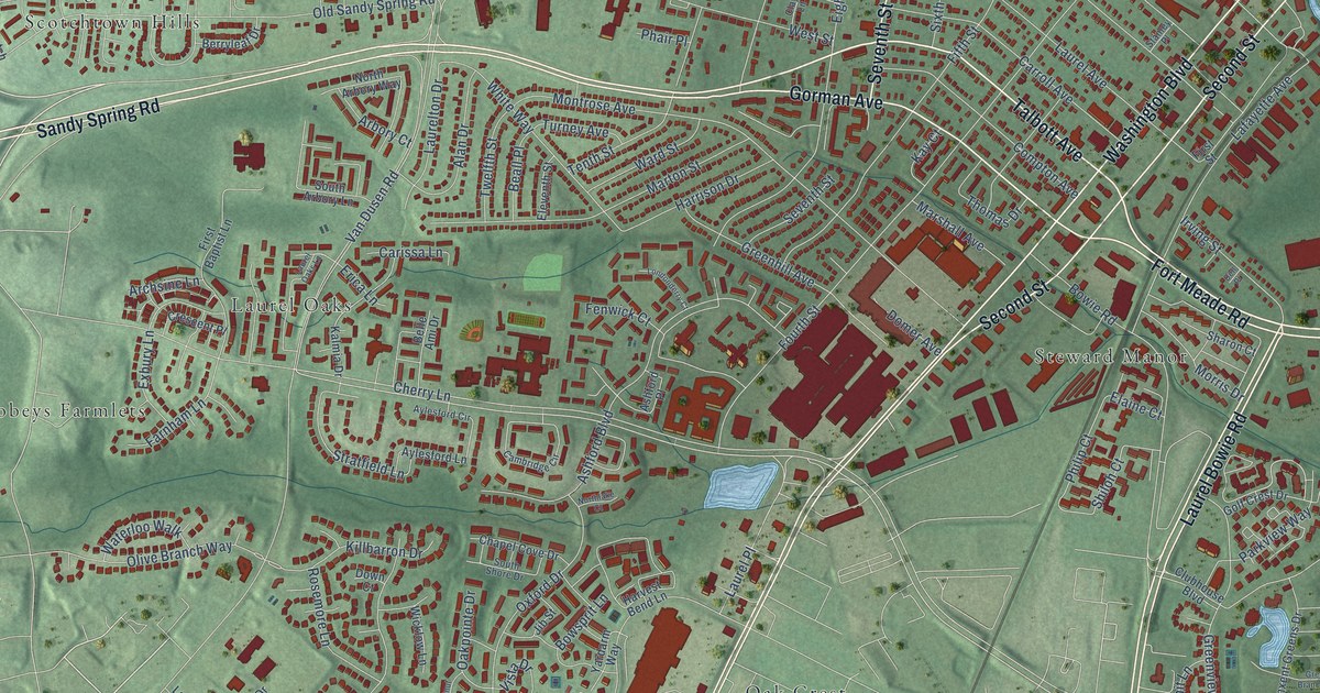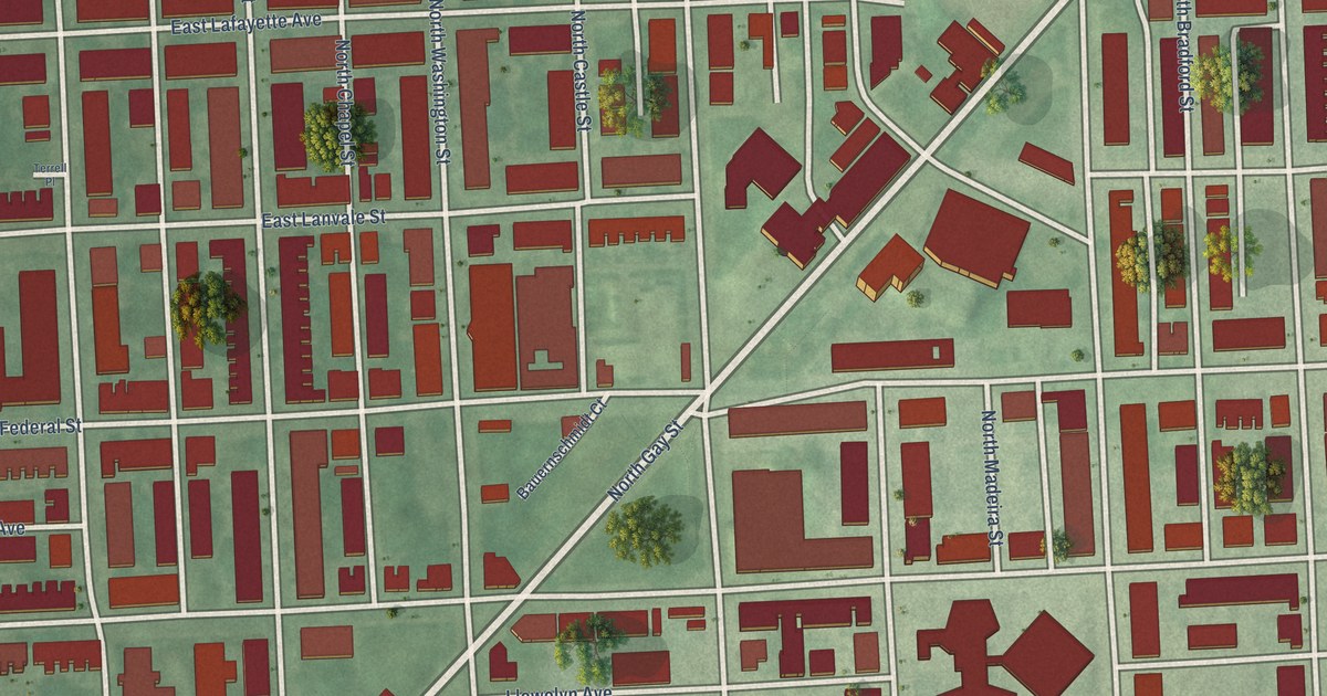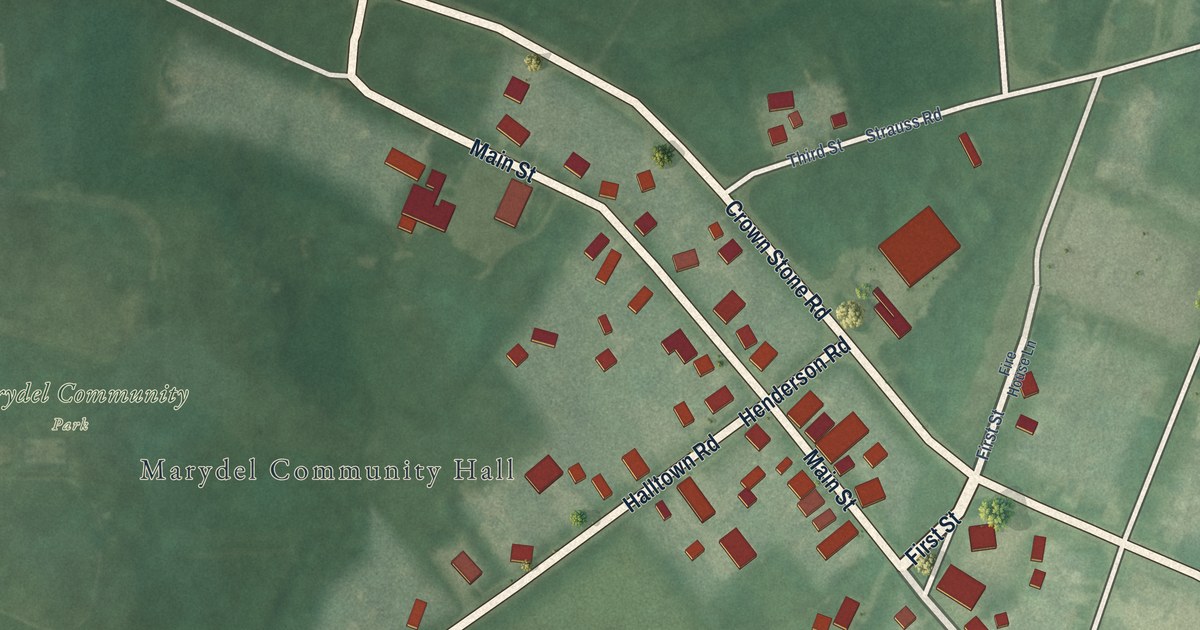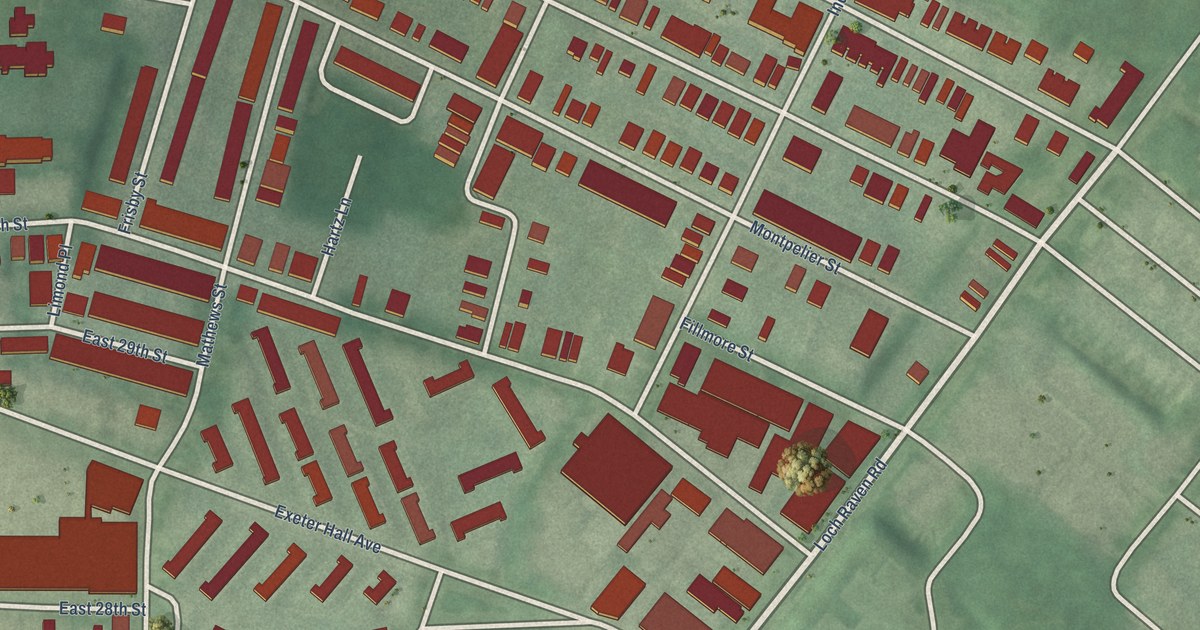
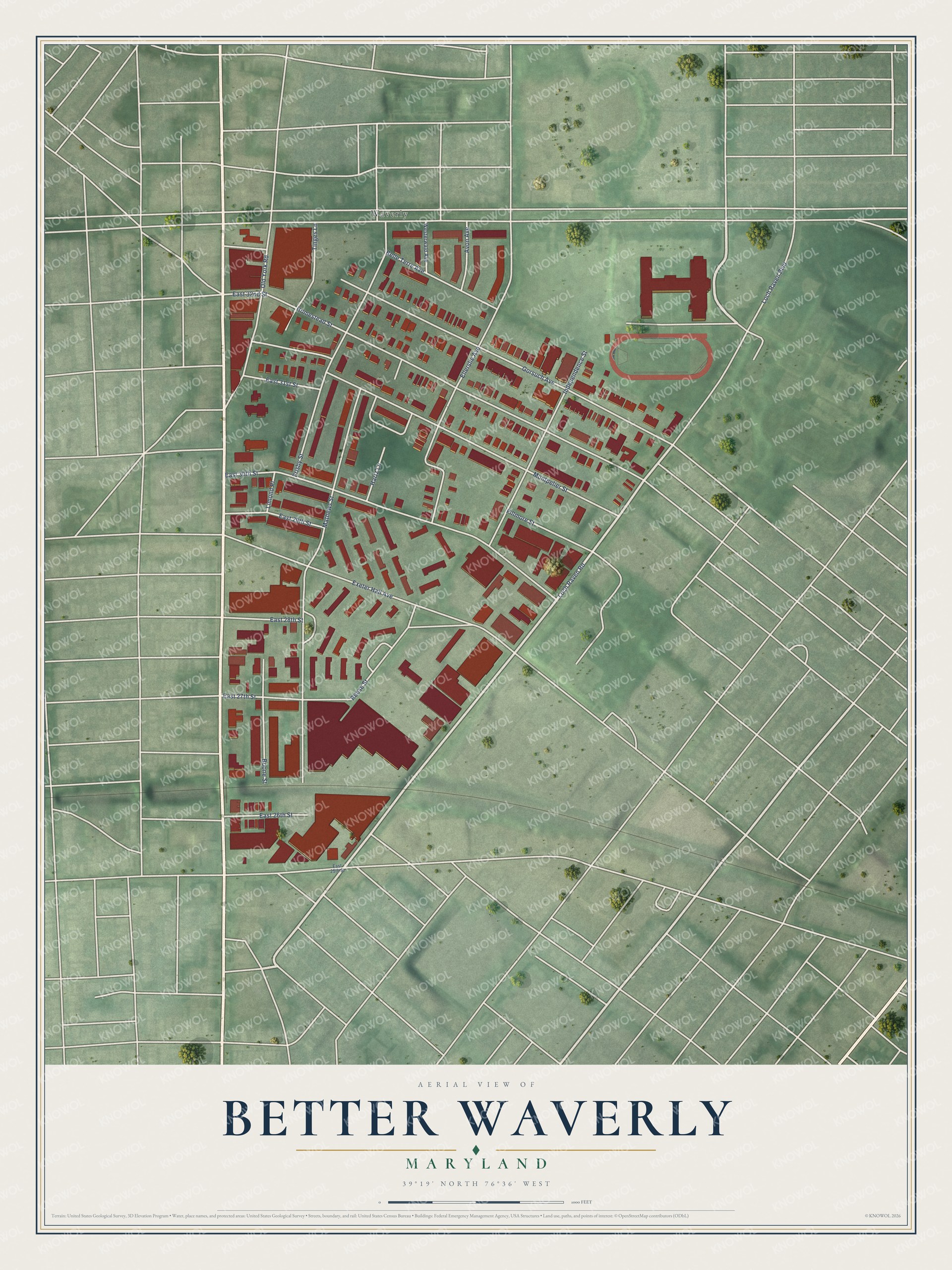
This beautifully detailed map of Better Waverly, Maryland was created in 2026 using aerial imagery combined with modern topographical, census, street and landmark data. It's a modern aerial view of Better Waverly in Baltimore City, Maryland, that combines modern data with a vintage aesthetic. The roads feature printed names, and if you look closely you can find your exact house accurately shown in its correct location.
Explore an aerial view of Better Waverly, Maryland
On this map you'll find Waverly, Loch Raven Road, Gorsuch Avenue, Montpelier Street, Mathews Street, Homestead Street, East 30th Street, Exeter Hall Avenue, Frisby Street, Loch Raven Boulevard, Ellerslie Avenue, Independence Street, and more. Each red shape is a building, so zoom in on the preview and look for yours.
Better Waverly has a story worth telling. The Baltimore Heritage puts it this way: "The Episcopalian congregation of Saint John's Church has worshiped together on the same site in Waverly since 1843. At that time the area was the small village of Huntingdon, Maryland: a collection of about seventeen large estates, and the more modest homes of a new and emerging middle class."
Better Waverly is a neighborhood in Baltimore City.
Take a closer look at the Better Waverly map
Names on this map
These names are printed on this map.
Places: Waverly.
Streets and roads: Loch Raven Road, Gorsuch Avenue, Montpelier Street, Mathews Street, Homestead Street, East 30th Street, Exeter Hall Avenue, Frisby Street, Loch Raven Boulevard, Ellerslie Avenue, Independence Street, Reese Street.
More street names, A to Z
Avon Avenue, Belle Terre Avenue, Boone Street, East 25th Street, East 26th Street, East 27th Street, East 28th Street, East 29th Street, East 31st Street, East 32nd Street, Fillmore Street, Hartz Lane, Limond Place, Old York Road, Tinges Lane, Westerwald Avenue.
Created by KNOWOL in 2026. The buildings are small red shapes, the roads carry their printed names, and shaded relief shows the shape of the land. The title panel reads "AERIAL VIEW OF BETTER WAVERLY MARYLAND" with 39°19' NORTH 76°36' WEST.
It looks right in a kitchen, an office or a den, and it's a gift for anyone who grew up in Better Waverly or moved away. Open the preview and find your street. See sizes and frames for the Better Waverly map.