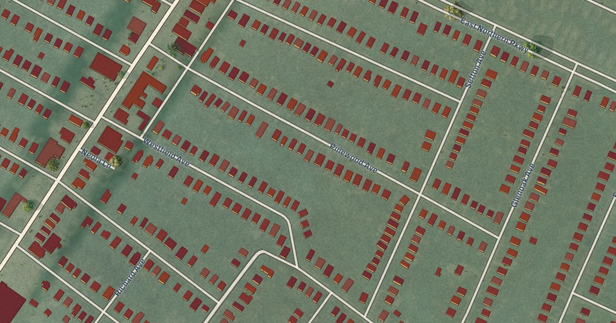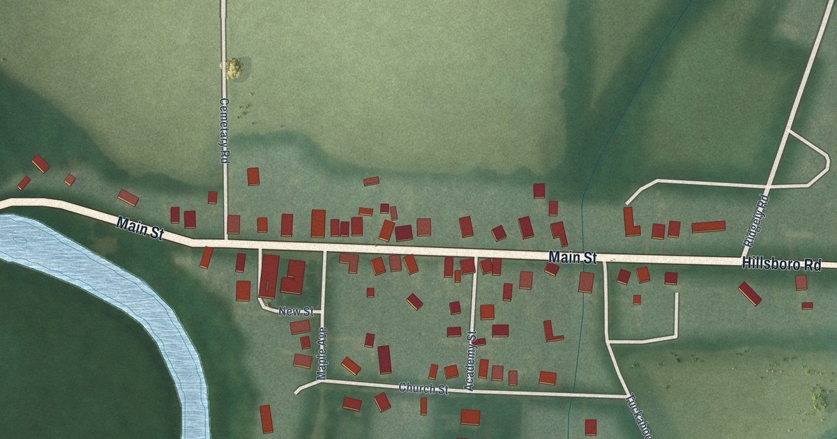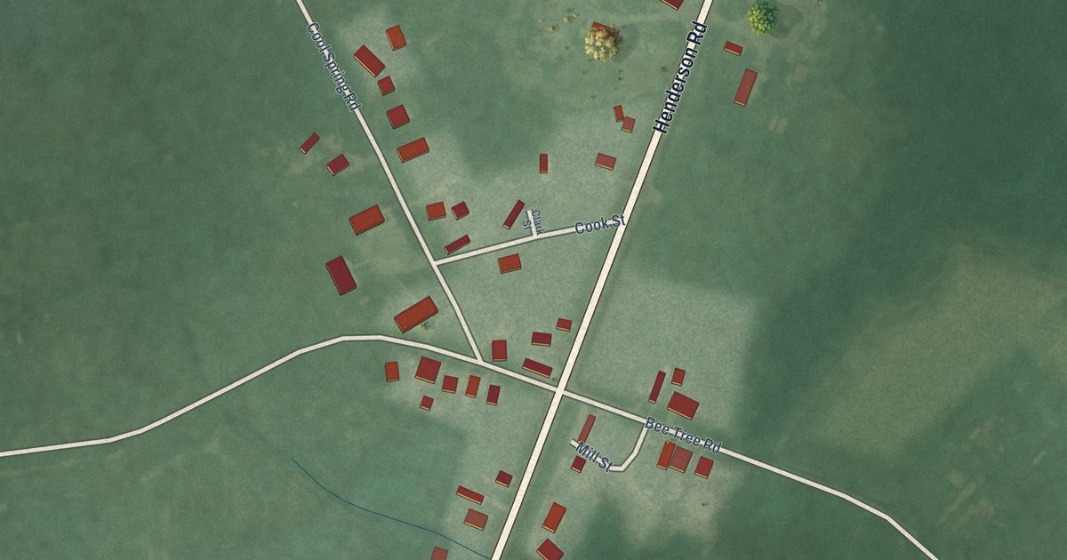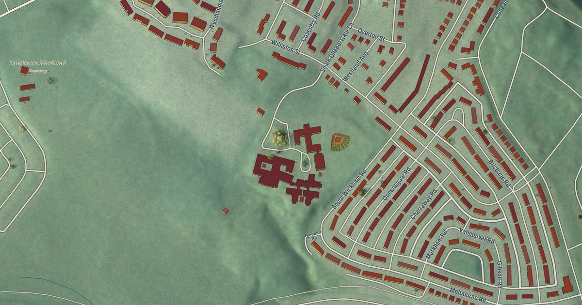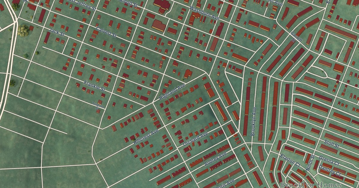
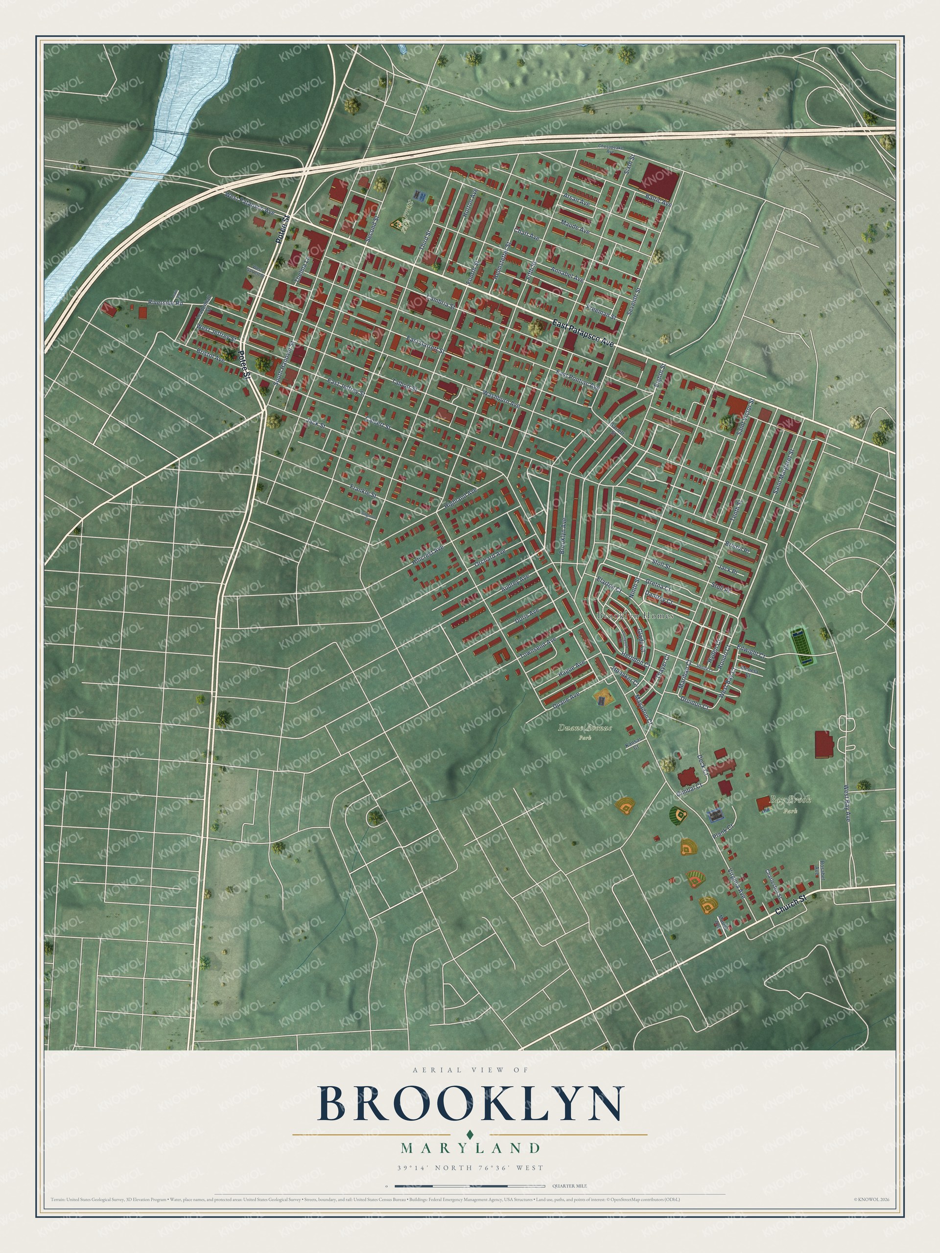
This beautifully detailed map of Brooklyn, Maryland was created in 2026 using aerial imagery combined with modern topographical, census, street and landmark data. It's a modern aerial view of Brooklyn in Baltimore City, Maryland, that combines modern data with a vintage aesthetic. The roads feature printed names, and if you look closely you can find your exact house accurately shown in its correct location.
Explore an aerial view of Brooklyn, Maryland
On this map you'll find Bay Brook Park, Duane Avenue Park, Garrett Park, Brooklyn Homes, Potee Street, East Patapsco Avenue, Church Street, Washburn Avenue, Herndon Court, Gretna Court, Deck Court, Thayer Court, and more. Each red shape is a building, so zoom in on the preview and look for yours.
Brooklyn has a story worth telling. The Maryland Historical Trust puts it this way: "Established by a group of local landowners and Baltimore businessmen, the company obtained control of most of the land on the peninsula and laid out the original plat of a small town that was soon called Brooklyn. According to local legend, the name was suggested by a Patapsco Company employee, R.W. Templeman, who saw a plat of the new town and was reminded of Brooklyn, New York."
Brooklyn is a neighborhood in Baltimore City.
Take a closer look at the Brooklyn map
Names on this map
These names are printed on this map.
Places: Bay Brook Park, Duane Avenue Park, Garrett Park and Brooklyn Homes.
Streets and roads: Potee Street, East Patapsco Avenue, Church Street, Washburn Avenue, Herndon Court, Gretna Court, Deck Court, Thayer Court, Rondo Court, Sixth Street, Fifth Street, East Jeffrey Street.
More street names, A to Z
Annabel Avenue, Arsan Avenue, Audrey Avenue, Baltic Avenue, Bristol Avenue, Bristol Place, Brooklyn Avenue, Calvert Street, Cambria Street, Charleston Street, Chart Avenue, Chesapeake Avenue, Clintwood Court, Dantrey Court, Doris Avenue, Druidon Court, Duane Avenue, East Garrett Street, East Pontiac Avenue, Edwight Court, Eighth Street, Elarton Court, Fourth Street, Frankle Street, Freeman Street, Garrett Street, Gimbal Court, Glade Court, Hague Avenue, Helmstetter Street, Highland Avenue, Hillcrest Avenue, Honaker Court, Horton Avenue, Hyden Court, Jack Place, Jack Street, Kansas Court, Leadenhall Street, Levin Road, Mariban Court, Maude Avenue, Mayadon Court, Moneta Court, Muriel Avenue, Ninth Street, Orchard Avenue, Plank Court, Renick Court, Riverside Road, Rosabel Avenue, Saint Margaret Street, Saint Victor Street, Second Street, Seventh Street, South Hanover Street, Stoll Place, Stoll Street, Talbott Street, Tenth Street, Thelma Lane, Third Street, Townsend Avenue, Tungston Street, Virginia Avenue, West Bay Avenue, West Bay Court, West Garrett Street, West Jeffrey Street, West Patapsco Avenue.
Created by KNOWOL in 2026. The buildings are small red shapes, the roads carry their printed names, and shaded relief shows the shape of the land. The title panel reads "AERIAL VIEW OF BROOKLYN MARYLAND" with 39°14' NORTH 76°36' WEST.
It looks right in a kitchen, an office or a den, and it's a gift for anyone who grew up in Brooklyn or moved away. Open the preview and find your street. See sizes and frames for the Brooklyn map.