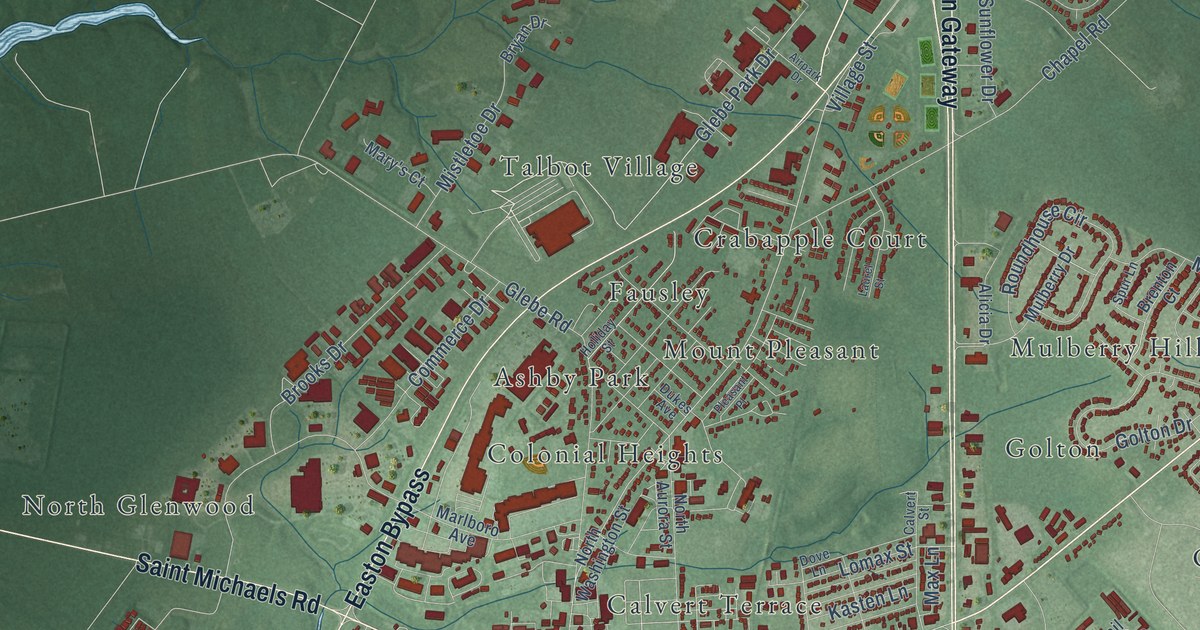
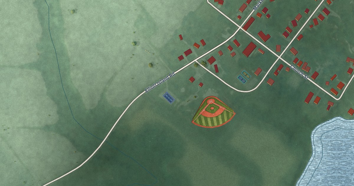
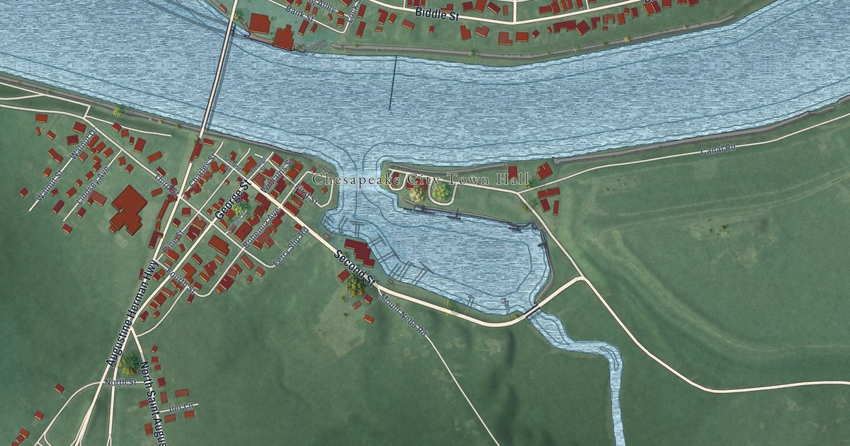
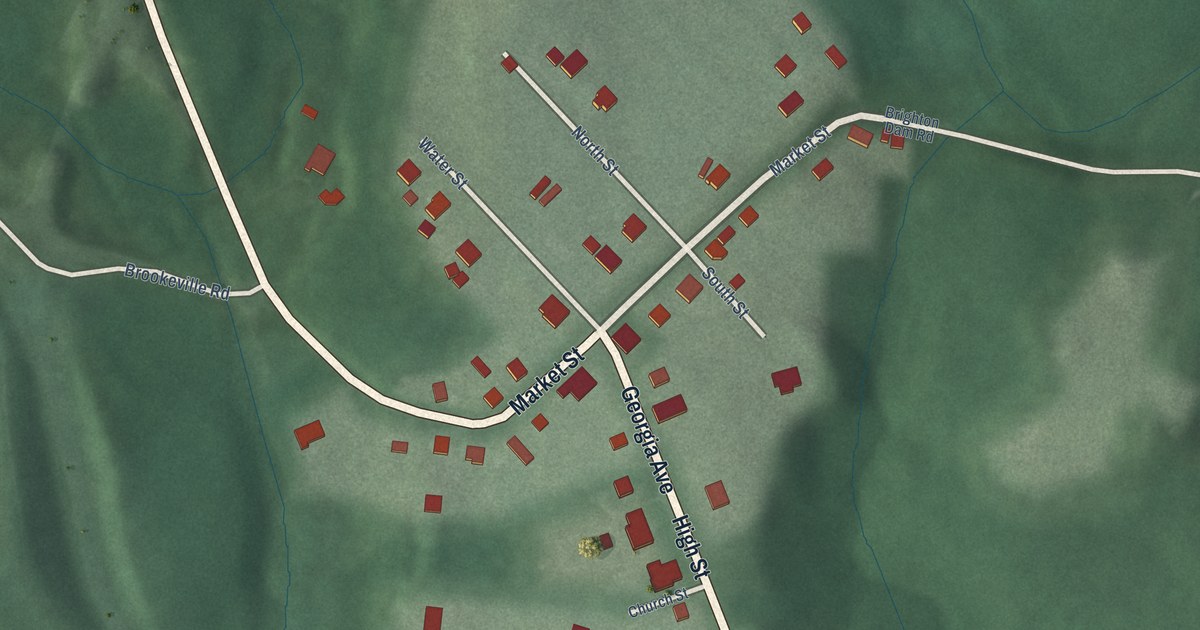
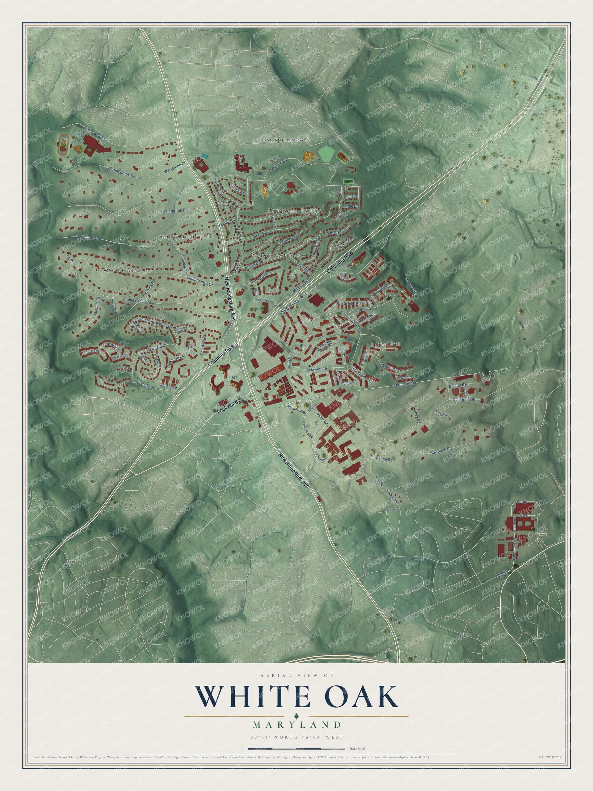
This beautifully detailed map of White Oak, Maryland was created in 2026 using aerial imagery combined with modern topographical, census, street and landmark data. It's a modern aerial view of White Oak in Montgomery County, Maryland, that combines modern data with a vintage aesthetic. The roads feature printed names, and if you look closely you can find your exact house accurately shown in its correct location.
Explore an aerial view of White Oak, Maryland
On this map you'll find East Springbrook, Homestead Estates, Pine Hill, Quaint Acres, Rocky Brook Park, Springbrook, Springbrook Manor, New Hampshire Avenue, Columbia Pike, Lockwood Drive, Perimeter Road, Mahan Road, and more. Each red shape is a building, so zoom in on the preview and look for yours.
Here is a piece of White Oak history, in the words of the record. The Maryland Historical Trust puts it this way: "Building 30 is the southernmost of the principal permanent buildings that comprise the Front Area at the White Oak Laboratory. This rectangular plan, three story building was constructed in 1947 to house the Explosives Laboratory upon the relocation of the Naval Ordnance Laboratory from the Washington Navy Yard."
White Oak is a community in Montgomery County.
Take a closer look at the White Oak map
Names on this map
These names are printed on this map.
Places: East Springbrook, Homestead Estates, Pine Hill, Quaint Acres, Rocky Brook Park, Springbrook and Springbrook Manor.
Streets and roads: New Hampshire Avenue, Columbia Pike, Lockwood Drive, Perimeter Road, Mahan Road, Taylor Road, Floral, Glenmore Drive, Bowditch Road, White Oak Vista Drive, Jackson Road, Milestone Drive.
More street names, A to Z
Ainsley Road, Apple Grove Road, April Lane, Arbie Road, Baroque Road, Berwick Road, Blandy Road, Bushnell Road, Caplinger Road, Carole Court, Chiswick Court, Classical Lane, Concerto Lane, Crescendo Way, Crouch Road, Dahlgreen Road, David Court, David Drive, December Drive, December Way, Eden Road, Encore Drive, Ericsson Road, February Circle, Finale Terrace, Frank Drive, Fulton Road, Glenmore, Gordon Road, Grayburn Drive, Greenacres Drive, Heartfields, Heather Hollow Circle, Jan Lane, January Drive, July, July Drive, Kathryn Road, Kerwood Road, Legato Terrace, Lockwood Stewart Drive, Lyric Lane, Maestro Terrace, Mahan Court, Menlee Drive, Michale Court, Michelson Road, Moffett Road, Newcombs Road, Nora Drive, North, November Circle, Oak Leaf Drive, Old Columbia Pike, Opera Court, Powder Mill Road, Prelude Drive, Quaint Acres Drive, Renick Lane, Sarah Drive, Sherbrook Drive, Sherbrooke Woods Lane, Sonata Way, Springbrook Drive, Stephen Road, Stewart Lane, Symphony Woods Drive, Symphony Woods Lane, Tanley Road, Tiffany Road, Tracy Drive, Treetop View Terrace, Valley Brook Drive, Warrenton Drive, Whitehall Drive, Willington Drive.
Created by KNOWOL in 2026. The buildings are small red shapes, the roads carry their printed names, and shaded relief shows the shape of the land. The title panel reads "AERIAL VIEW OF WHITE OAK MARYLAND" with 39°03' NORTH 76°59' WEST.
It suits a den, a classroom or a front hall, and it makes a gift for anyone with White Oak roots. Open the preview and find the block you know. See sizes and frames for the White Oak map.