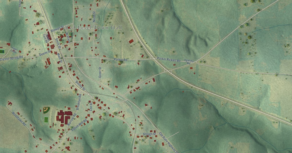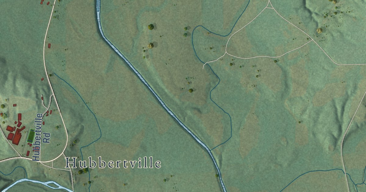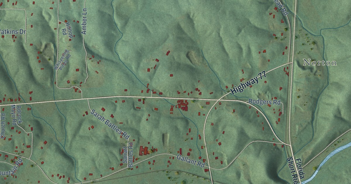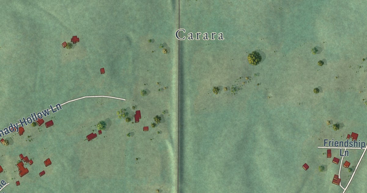
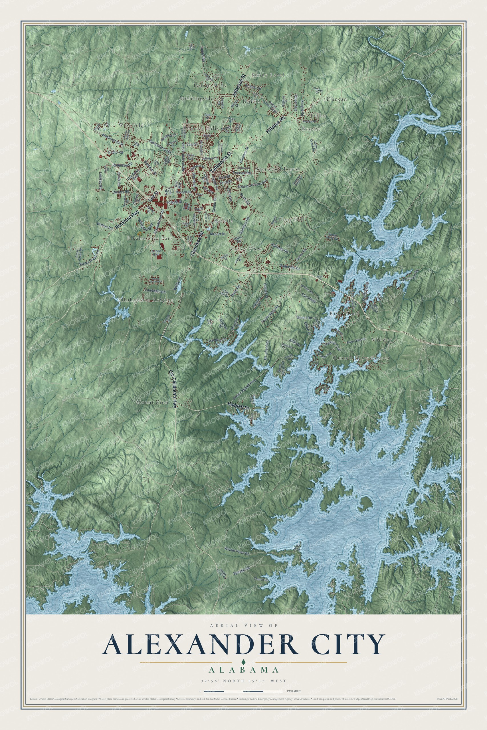
This beautifully detailed map of Alexander City, Alabama was created in 2026 using aerial imagery combined with modern topographical, census, street and landmark data. It’s a one-of-a-kind view of Alexander City that combines accurate data with a vintage aesthetic. The map shows every building in its true location, many of the roads carry their names, and the shaded topographic relief shows the shape of the land.
Explore an aerial view of Alexander City, Alabama
On the map you’ll find Bevelle, Dobbs, Duncan, Elkahatchee Heights, Elkahatchee Park, Flint Hill, Fuller, Indian Hills, Midway, Morningside, Mount Zion, Parish Hills, and more. If you look closely you can even find your house accurately drawn in its correct location. Zoom in on the preview to look for yours.
Did you know this piece of Alexander City, Alabama history?
From Encyclopediaofalabama.org: "After the Savannah and Memphis Railroad announced its intention to build a line through the town in 1873, the city's boundaries were redrawn and it was renamed Alexander City in honor of the railroad's president, Edward Porter Alexander."
Take a closer look at the Alexander City map
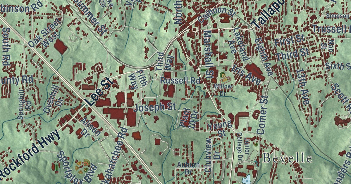
Street and place names on the Alexander City, Alabama map
These names are printed on the map of Alexander City, Alabama.
Places: Bevelle, Dobbs, Duncan, Elkahatchee Heights, Elkahatchee Park, Flint Hill, Fuller, Indian Hills, Midway, Morningside, Mount Zion, Parish Hills, Reeves, River Bend, Russell Ferry Estates, Sherwood Forest, Sunny Level, Valley View and Westfield.
Streets and roads: Tallapoosa Street, Rockford Highway, Lee Street, Jefferson Street, Hodnett Drive, Hillabee Road, Cherokee Road, Our Children's Highway, Joseph Street, Washington Street, Elkahatchee Road, Dean Road.
More street names, A to Z
13th Avenue, 15th Place, Adams Circle, Adamson Street, Airport Boulevard, Airport Drive, Akin Road, Aliant Parkway, Alison Drive, Althea Loop, Ann Street, Auburn Drive, Baker Road, Bolton Road, Calhoun Street, Campground Road, Carolyn Road, Cedar Lane, Center Street, Church Road, Clubview Drive, Coley Creek Road, Columbine Drive, Comer Street, County Road, Coven Abbett Highway, Cross Creek Road, Dadeville Road, Daniel Drive, Davis Road, Dobbs Road, Dogwood Drive, East Street, Eighth Avenue, Elbert Drive, Elbert Road, Eleventh Avenue North, Elks Parkway, Fifth Way, First Street, Flora Drive, Forest Hill Lane, Halliana Road, Hardy Road, Herzfield Road, Hickory Trail, Hillabee Street, Holman Street, Indianhill Road, Iris Avenue, Johnson Street, Jones Road, Junior College Drive, Knight Road, Lake Circle, Lake Hill Drive, Lakeland Avenue, Lake Point Drive, Lake Ridge Drive, Lakeview Circle, Lamberth Road, Lark Spur Lane, Laurel Street, Lavista Road, Lewis Road, Lincoln Heights Street, Lindsey Road, Loblolly Lane, Locust Street, Marshall Street, Meadows Street, Mobley Drive, Monza Drive, Mountain Laurel Drive, Nan Street, Nathan Street, North Central Avenue, North Picnic Road, North Street, Oak Hill Drive, Oaks Point, Oak Street West, Old Kellyton Road, Oliver Avenue, Overhill Drive, Owens Street, Parks Avenue, Parrish Street, Pearson Chapel Road, Piney Woods Road, Plant 10 Drive, Radio Road, Raintree Drive, Raintree Road, Reeves Road, River Oaks Drive, Robinson Road, Rob Road, Rocky Creek Road, Russell Road, Sanders Road, Scott Road, Shady Point, Shoreline Drive, Simpson Street, Sixth Street Extended, South Road, Speake Cut Off Road, Speake Road, Sportplex Boulevard, Springhill Road, Stowe Ferry Road, Sturdivant Road, Summer Street, Sunny Level Cutoff, Third Street, Third Way, Thompson Ridge Road, Trussell Road, Turner Road, Turtle Neck Road, Valley Road, Voss Road, Walls Circle, Walton Road, Warren Circle North, Wicker Point Road, Williams Road, Willow Drive, Young Street.
See the Alexander City, Alabama map on a wall
The Alexander City map as an 18 x 24 inch print in a black frame.

This beautifully detailed map of Alexander City makes an attractive addition to your office, library, or den, and it can even be used to teach children the geography and history of the area. It also makes a great gift for anyone who grew up in Alexander City or moved away. When you’re done exploring, click here to get your copy of the Alexander City map.