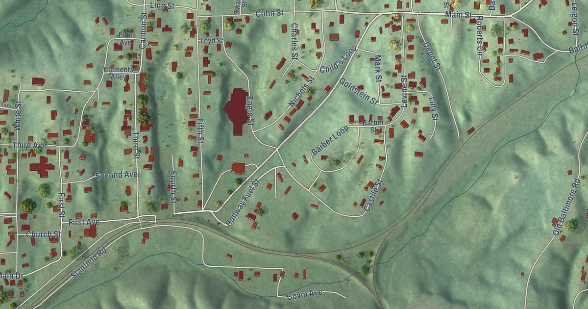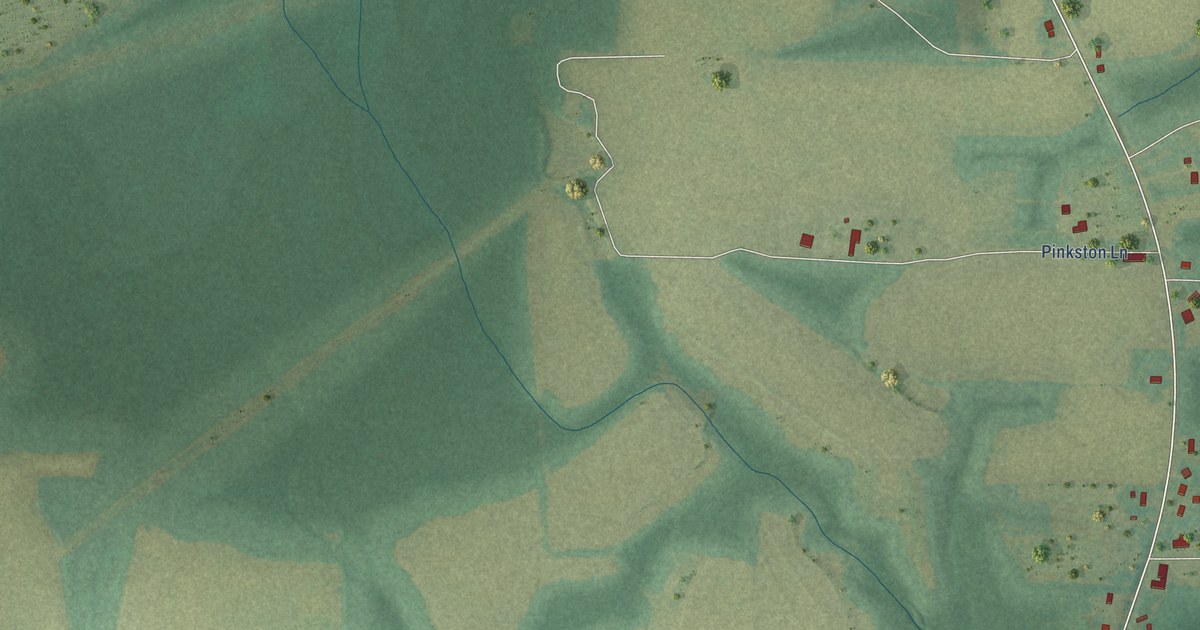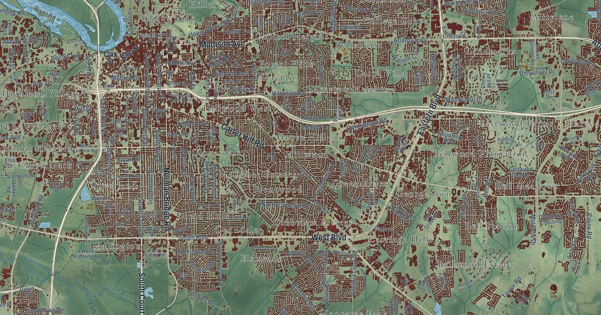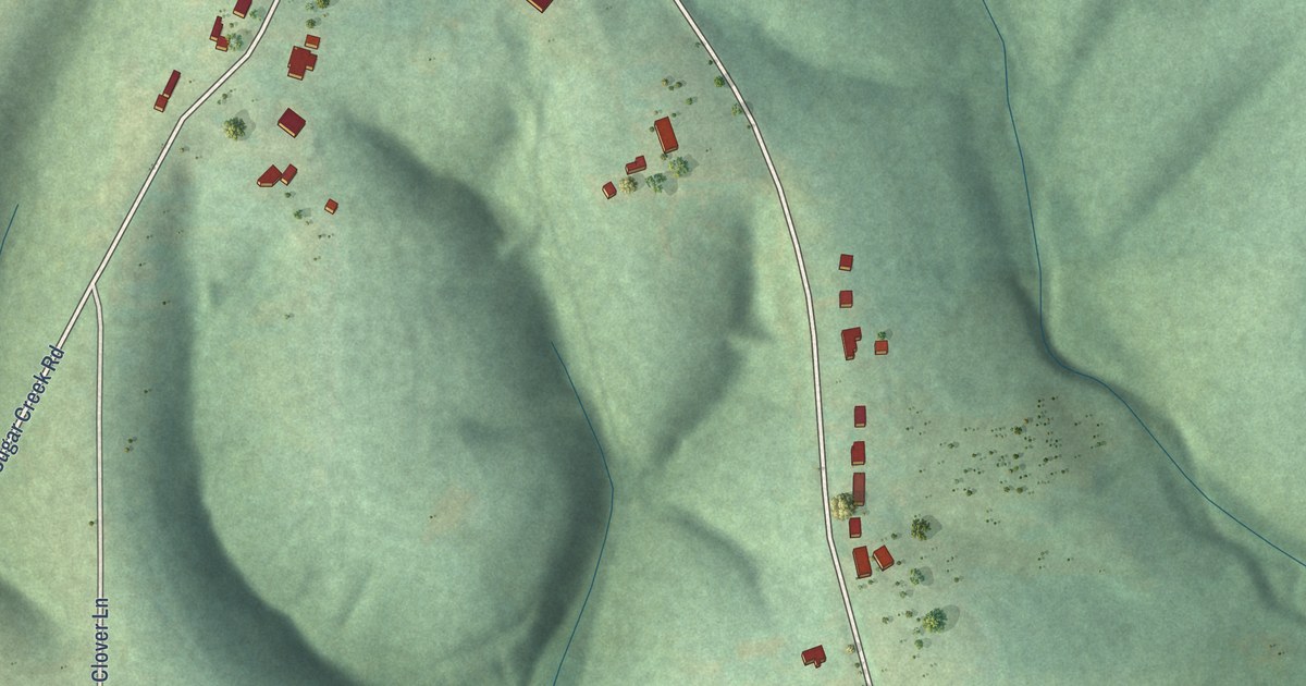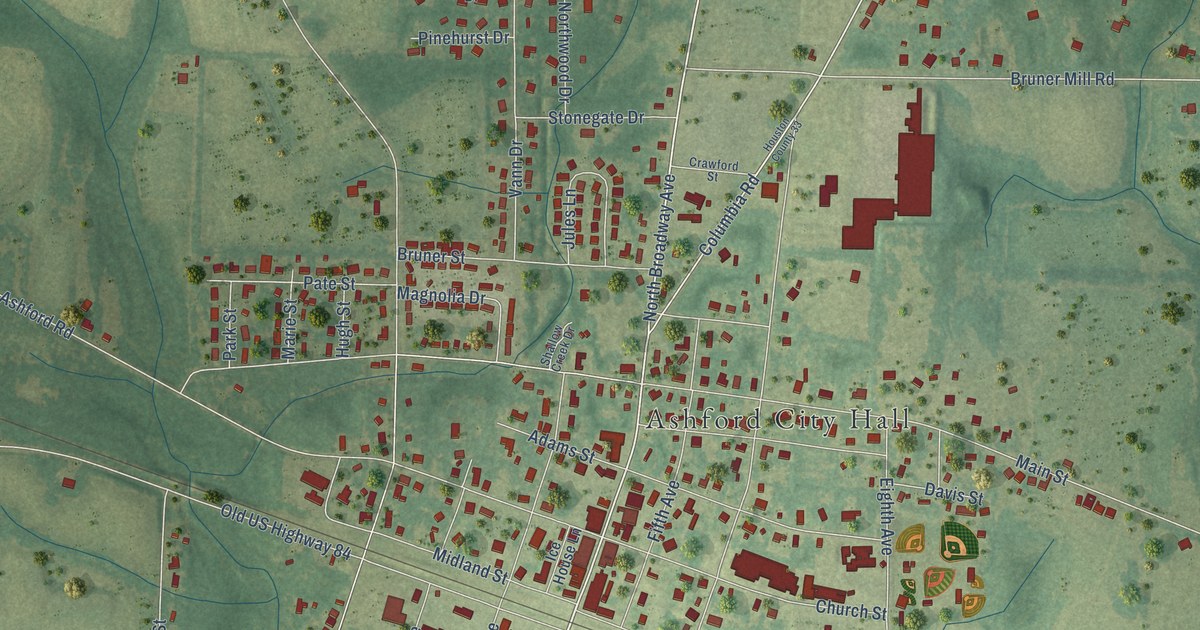
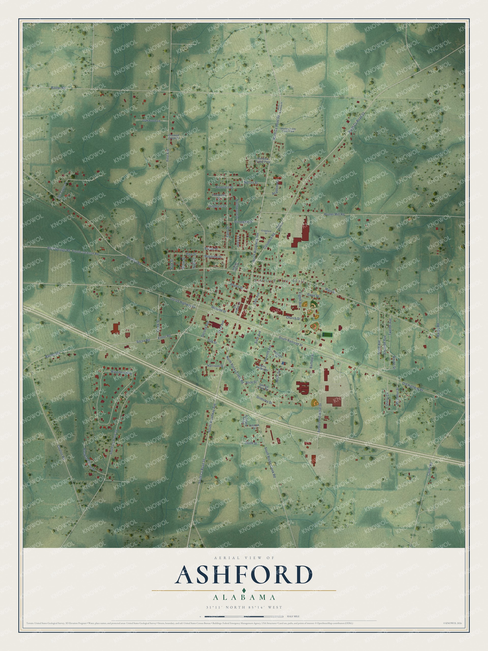
This beautifully detailed map of Ashford, Alabama was created in 2026 using aerial imagery combined with modern topographical, census, street and landmark data. It's a modern aerial view of Ashford in Houston County, Alabama, that combines modern data with a vintage aesthetic. The roads feature printed names, and if you look closely you can find your exact house accurately shown in its correct location.
Explore an aerial view of Ashford, Alabama
On this map you'll find Ashford City Hall, South Co Road 55, North Broadway Avenue, North Co Road 55, South Railroad Street, Columbia Road, Eighth Avenue, Oakwood Lane, Baxter Road, First Avenue, South Co Road 33, Main Street, and more. Each red shape is a building, so zoom in on the preview and look for yours.
Every town has a first chapter, and Ashford is no exception. The record at encyclopediaofalabama.org puts it this way: "In 1903, the state established Houston County, and Ashford residents urged county leaders to name it county seat, but the larger city of Dothan was chosen."
Ashford is a city in Houston County. The Census Bureau counted 2,246 people here in 2020.
Take a closer look at the Ashford map
Names on this map
These names are printed on this map.
Places: Ashford City Hall, Rainbow Trailer Park and Shallow Creek Trailer Park.
Streets and roads: South County Road 55, North Broadway Avenue, North County Road 55, South Railroad Street, Columbia Road, Eighth Avenue, Oakwood Lane, Baxter Road, First Avenue, South County Road 33, Main Street, Old US Highway 84.
More street names, A to Z
Academy Drive, Adams Street, Alice Street, Ashford Industrial Drive, Ashford Road, Barfield Street, Battles Road, Bluff Springs Road, Breakfast Pond Drive, Bruner Mill Road, Bruner Street, Church Street, Clayton Road, Cosby Road, Crawford Street, Creek Street, Crooked Creek Drive, Davis Street, Eleventh Avenue, Elmer Road, Fifth Avenue, Furnie Jackson Road, George Cook Road, Grimsley Drive, Harrison Street, Henry Ashley Drive, Henry Bolden Drive, Houston County 33, Houston Street, Hugh Street, Ice House Lane, Jules Lane, Magnolia Drive, Marie Street, McArthur Street, Mercer Street, Midland Street, Ninth Avenue, North Broadway Street, North County Road 33, North Rocky Creek Road, Northwood Drive, Oak Street, Old Highway 84, Ole Taylor Place, Park Street, Pate Street, Pinecrest Drive, Pinehurst Drive, Pineneedle Drive, Pittman Street, Randy Road, Second Avenue, Seventh Avenue, Shallow Creek Drive, Shelly Circle, Silcox Road, Sixth Avenue, Smith Street, South Broadway Avenue, South Rocky Creek Road, Stonegate Drive, Tenth Avenue, Third Avenue, Twelfth Avenue, Vann Drive, Waterford Way, Weeks Street.
Created by KNOWOL in 2026. The buildings are small red shapes, the roads carry their printed names, and shaded relief shows the shape of the land. The title panel reads "AERIAL VIEW OF ASHFORD ALABAMA" with 31°11' NORTH 85°14' WEST.
Hang it in the hallway, the office or the cabin, or give it to someone who left Ashford and still calls it home. Open the preview and look for a street you know. See sizes and frames for the Ashford map.