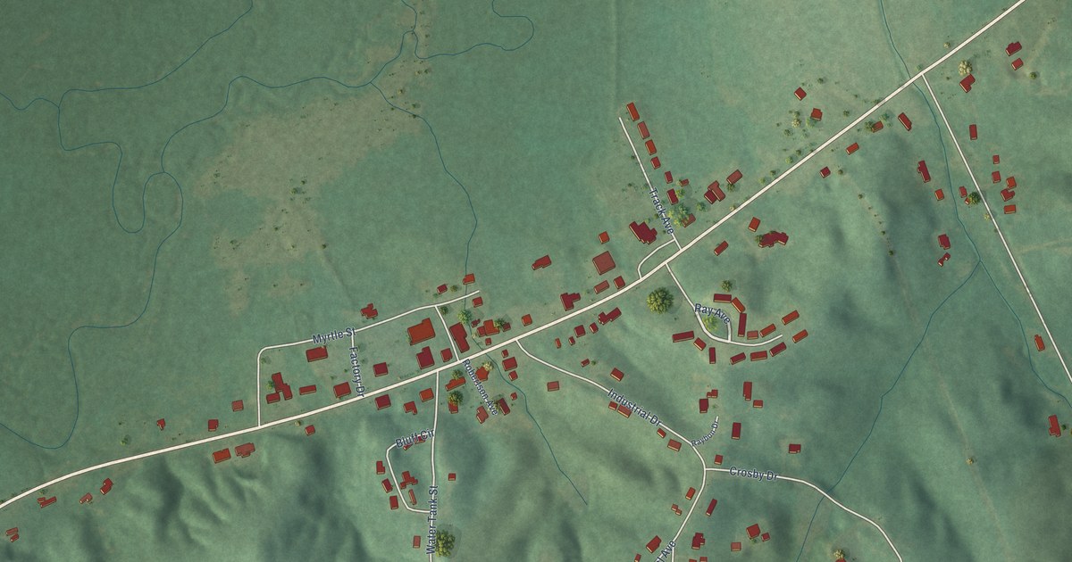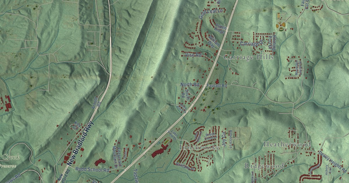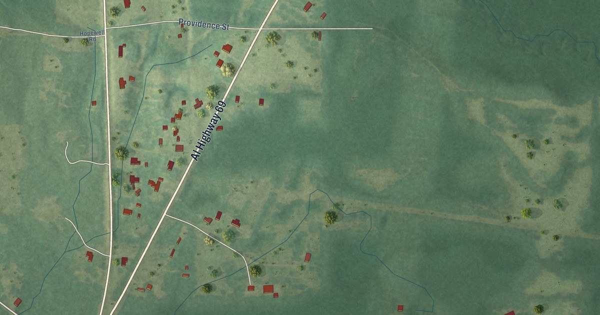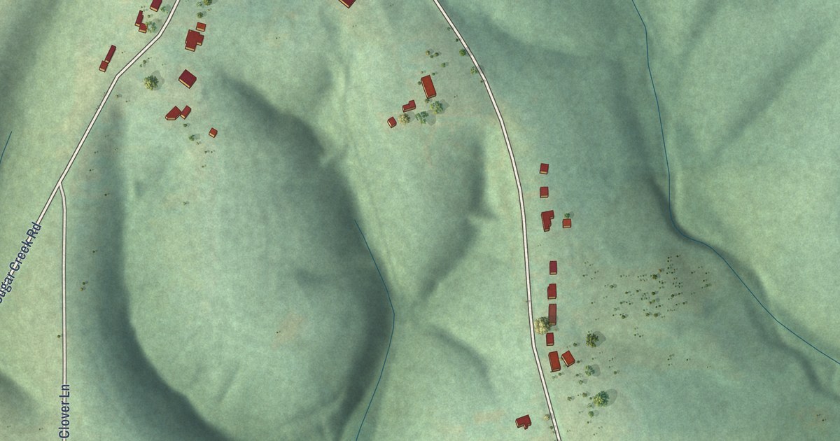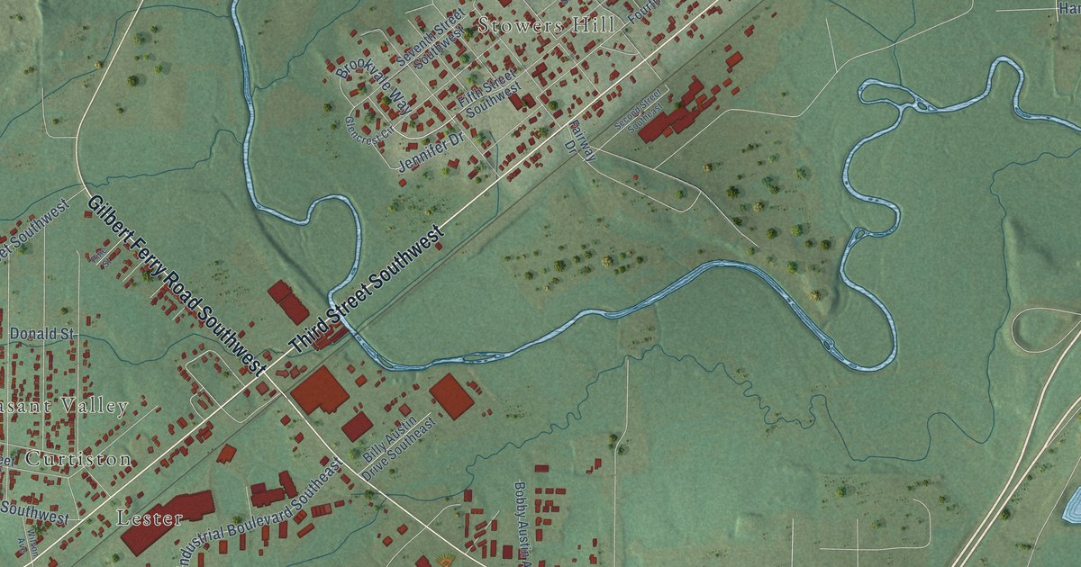
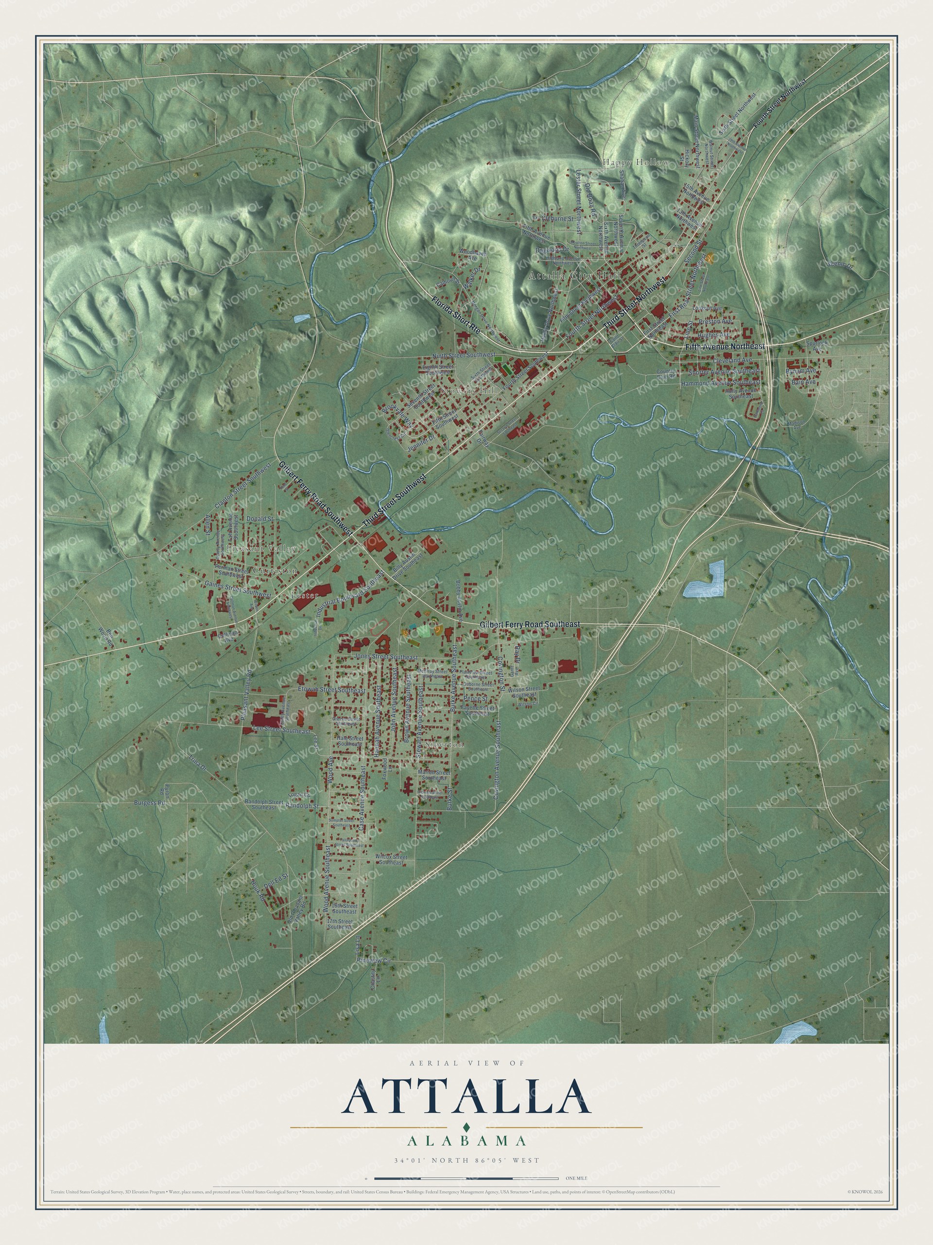
This beautifully detailed map of Attalla, Alabama was created in 2026 using aerial imagery combined with modern topographical, census, street and landmark data. It's a modern aerial view of Attalla in Etowah County, Alabama, that combines modern data with a vintage aesthetic. The roads feature printed names, and if you look closely you can find your exact house accurately shown in its correct location.
Explore an aerial view of Attalla, Alabama
On this map you'll find Attalla City Hall, Happy Hollow, Siberton, Stowers Hill, Pleasant Valley, Curtiston, Lester, Florida Short Rte, Third Street Northwest, Third Street Southwest, Fifth Avenue Northeast, Gilbert Ferry Road Southeast, and more. Each red shape is a building, so zoom in on the preview and look for yours.
Attalla has a story worth telling. The record at encyclopediaofalabama.org puts it this way: "Post Office building in Attalla, constructed in 1925, is on the National Register of Historic Places."
Attalla is a city in Etowah County. The Census Bureau counted 5,827 people here in 2020.
Take a closer look at the Attalla map
Names on this map
These names are printed on this map.
Places: Attalla City Hall, Happy Hollow, Siberton, Stowers Hill, Pleasant Valley, Curtiston and Lester.
Streets and roads: Florida Short Route, Third Street Northwest, Third Street Southwest, Fifth Avenue Northeast, Gilbert Ferry Road Southeast, Gilbert Ferry Road Southwest, Fourth Street Northwest, First Rear Street Northwest, Line Street, Jennifer Drive, Lester Street Northwest, Randolph Street.
More street names, A to Z
13th Avenue Northwest, 15th Avenue Northwest, 16th Street Southeast, 17th Street Southeast, 19th Avenue Northwest, Allen Street, Bain Avenue, Ben Wood Road, Billy Austin Drive Southeast, Bobby Austin Avenue, Brookvale Way, Brown Avenue Southeast, Burgess Road, Burke Avenue Southeast, Burke Street, Bynum Avenue, Calhoun Street, Case Avenue Southeast, Chastity Lane, Clanton Street Southwest, Cleburne Street, Cleveland Avenue, Country Club Road, Covington Avenue Southeast, Covington Street, Cullman Avenue, Cullman Avenue Southwest, Dell Ed Street, Dewey Avenue Southwest, Dogwood Drive, Donald Street, Eighth Street Southwest, Etowah Street Southeast, Extension, Fairway Drive, Fayette Street Southeast, Fifth Avenue Northwest, Fifth Street Northwest, Fifth Street Southwest, First Street Northeast, Fourth Street Southwest, Foxwood Lane, Gaines Street Southwest, Gantt Avenue, Glencrest Circle, Greene Street Southeast, Hale Street Southeast, Hammond Avenue Southeast, Hammond Circle, Hanby Drive Northwest, Hannah Avenue Southeast, Hickory Street, Highland Avenue Northwest, Holly Avenue Southeast, Houk Road, Hughes Avenue, Industrial Boulevard Southeast, Industrial Drive, John Avenue Southeast, Jones Street Southeast, Lee Street, Lee Street Southeast, Line Street Northeast, Lisa Lane, Logan Circle, Lookout Avenue, Madison Avenue, Main Street Northwest, Marion Street Southeast, McElroy Street Southeast, Morgan Drive Northwest, Moulton Street Northwest, Ninth Street Southwest, Old Boaz Road, Old Pleasant Valley Road, Osborne Street Southeast, Pence Street, Perman Street Southwest, Pickens Street Southeast, Pine Street, Pineview Circle, Plainview Street Southeast, Pleasant Valley Road, Preston Avenue, Pyron Road, Randolph Street Southeast, Ray Drive, Saint Clair Street, Scenic Drive, Second Street, Second Street Southeast, Seventh Avenue Northwest, Seventh Street Southwest, Shahan Avenue, Shorter Avenue Southeast, Sixth Avenue Northwest, Sixth Street Northwest, Sixth Street Southwest, Spurlock Avenue, Stewart Avenue Southeast, Sumpter Street Southeast, Taft Avenue Southwest, Tallapoosa Street Southeast, Thompson Street, Trina Drive, Utility Avenue Southeast, Walker Drive, Walnut Street Northwest, Wilcox Street Southeast, Wilson Avenue, Wilson Circle, Wilson Street Southeast, Wood Avenue, Wood Avenue Southeast, Woodhaven Avenue.
Created by KNOWOL in 2026. The buildings are small red shapes, the roads carry their printed names, and shaded relief shows the shape of the land. The title panel reads "AERIAL VIEW OF ATTALLA ALABAMA" with 34°01' NORTH 86°05' WEST.
It looks right in a kitchen, an office or a den, and it's a gift for anyone who grew up in Attalla or moved away. Open the preview and find your street. See sizes and frames for the Attalla map.