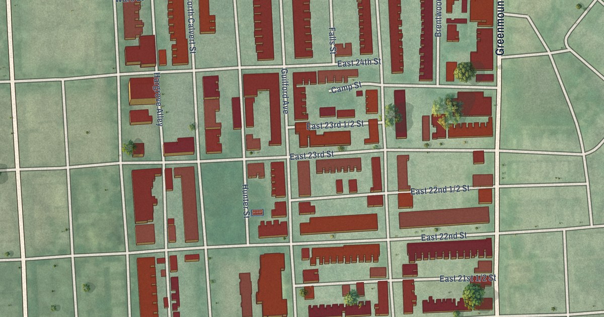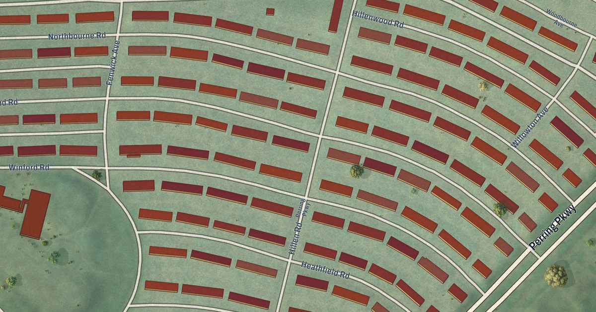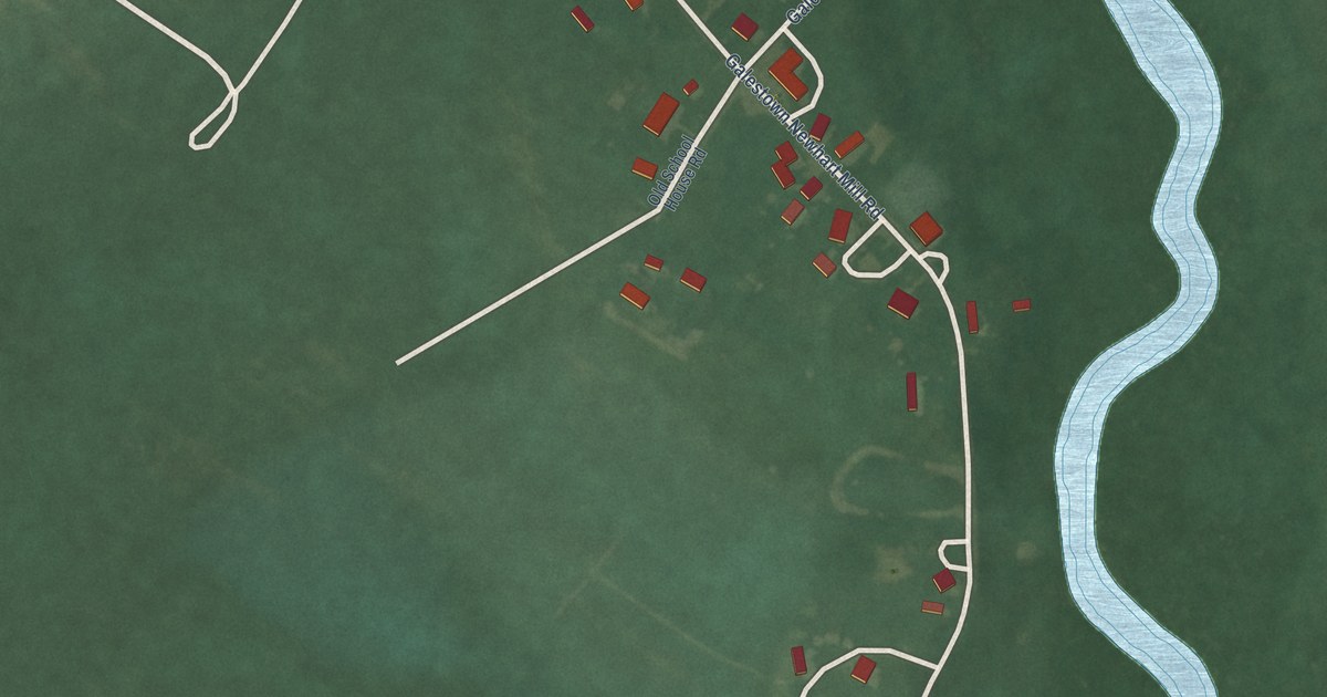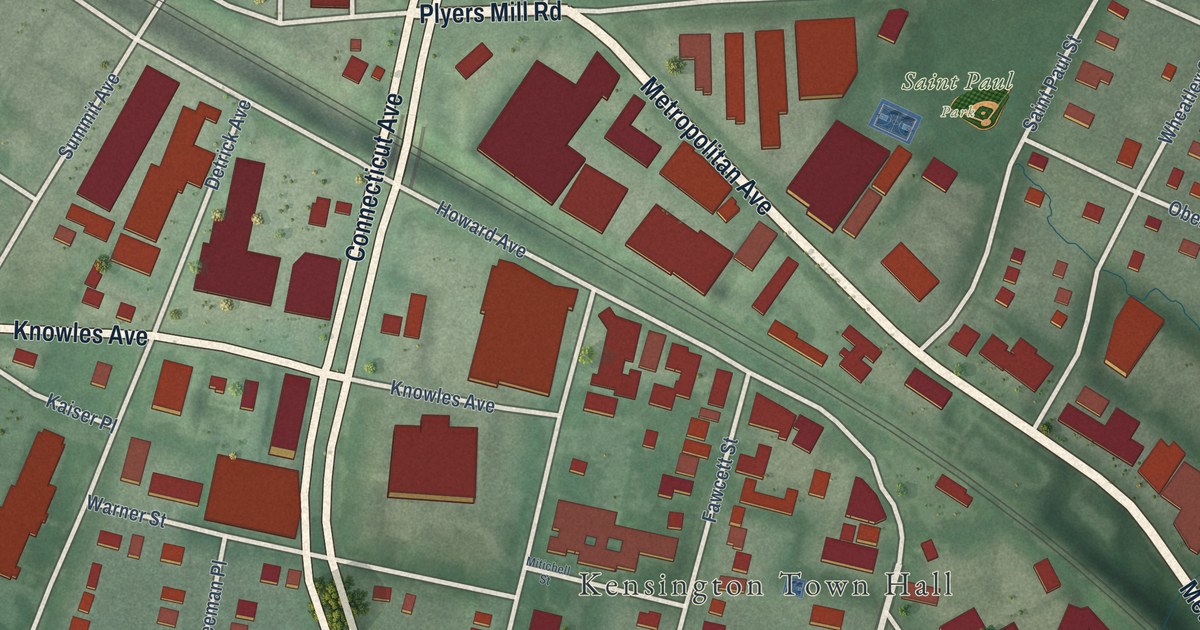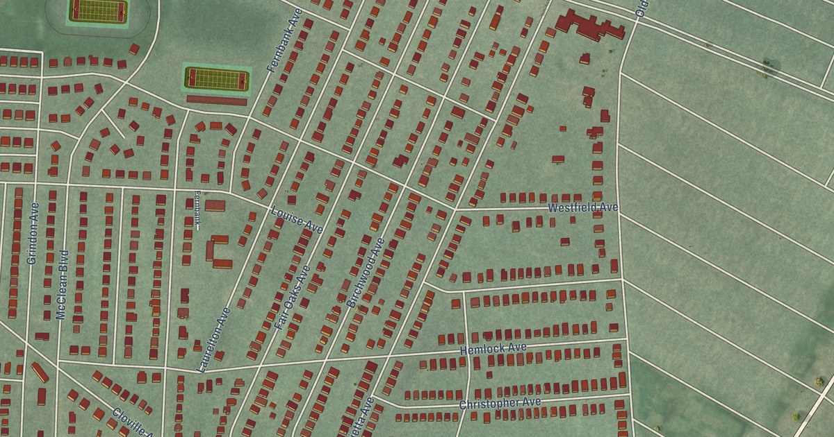
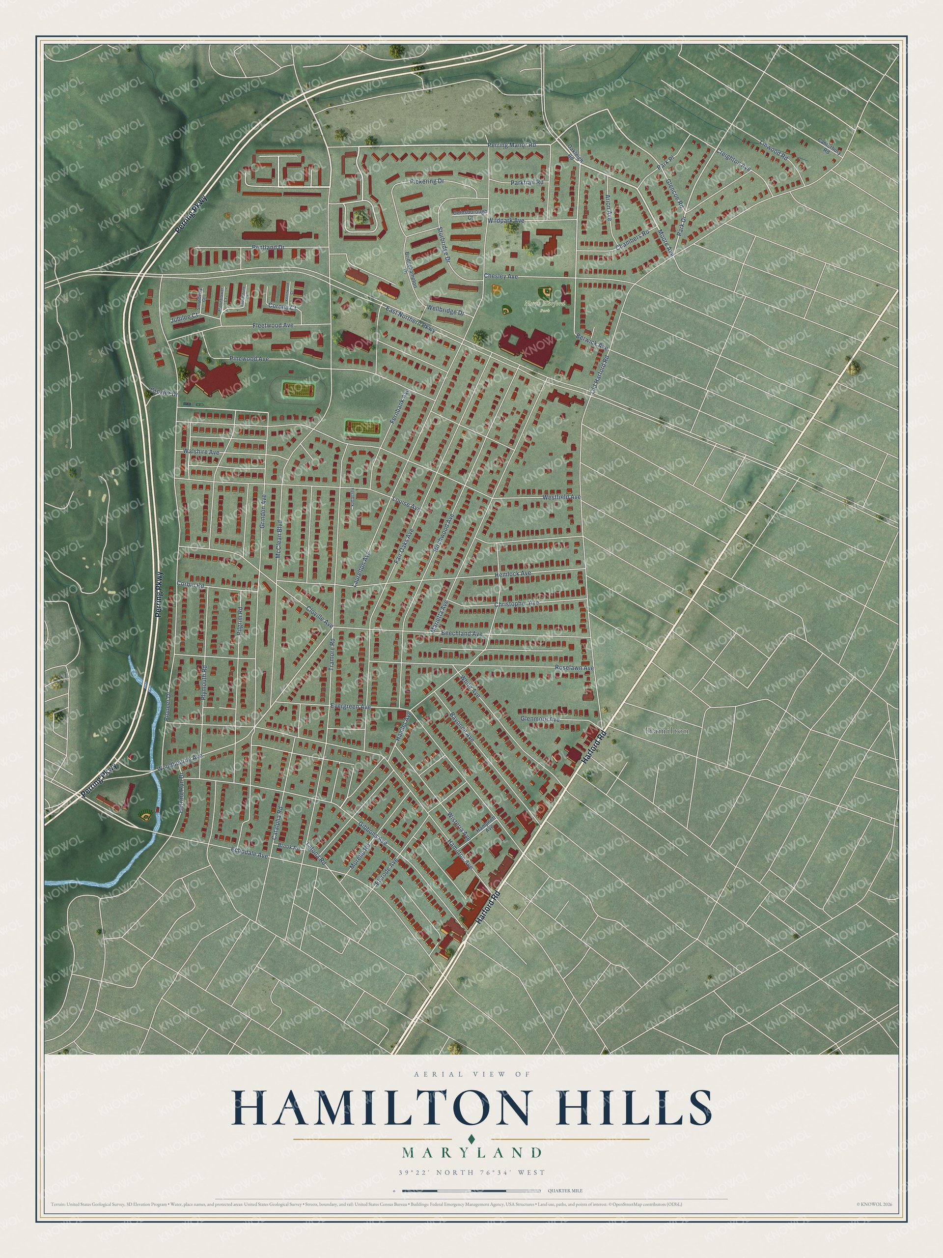
This beautifully detailed map of Hamilton Hills, Maryland was created in 2026 using aerial imagery combined with modern topographical, census, street and landmark data. It's a modern aerial view of Hamilton Hills in Baltimore City, Maryland, that combines modern data with a vintage aesthetic. The roads feature printed names, and if you look closely you can find your exact house accurately shown in its correct location.
Explore an aerial view of Hamilton Hills, Maryland
On this map you'll find North Harford Park, Hamilton, Harford Road, Perring Parkway, McClean Boulevard, Perring Manor Road, Moore Avenue, Echodale Avenue, Park Drive, Glencoe Road, Hamlet Avenue, Laurelton Avenue, and more. Each red shape is a building, so zoom in on the preview and look for yours.
Here is a piece of Hamilton Hills history, in the words of the record. The National Register of Historic Places puts it this way: "In addition, the Old Hamilton Library is further distinguished
as one of a collection of libraries in Baltimore and across the nation built from the late 1900s through the
1920s with support from Pittsburgh industrialist Andrew Carnegie."
Hamilton Hills is a neighborhood in Baltimore City.
Take a closer look at the Hamilton Hills map
Names on this map
These names are printed on this map.
Places: North Harford Park and Hamilton.
Streets and roads: Harford Road, Perring Parkway, McClean Boulevard, Perring Manor Road, Moore Avenue, Echodale Avenue, Park Drive, Glencoe Road, Hamlet Avenue, Laurelton Avenue, Jubilee Court, East Northern Parkway.
More street names, A to Z
Arion Avenue, Bayonne Avenue, Beechland Avenue, Berwick Avenue, Birchwood Avenue, Bridgehampton Drive, Brook Road, Canterbury Road, Catalpha Road, Chambers Road, Chesley Avenue, Christopher Avenue, Cloville Avenue, Corbin Road, Corona Court, Creighton Avenue, Crozier Drive, Elsrode Avenue, Evergreen Avenue, Fair Oaks Avenue, Fernbank, Fernbank Avenue, Fleetwood Avenue, Gainsborough Court, Gibbons Avenue, Glenmore Avenue, Grindon Avenue, Hamilton Avenue, Hampnett Avenue, Hemlock Avenue, Herring Run Drive, Knottwood Court, Latona Road, Linwood Road, Louise Avenue, Marietta Avenue, Moonflower Court, Morello Road, Oakleigh Road, Old Harford Road, Park Place, Parktrail Road, Pentland Drive, Pickering Drive, Pilgrim Road, Pinewood Avenue, Pioneer Drive, Plymouth Road, Roselawn Avenue, Snowberry Court, Sturbridge Drive, Touchstone Court, Tramore Road, Walshire Avenue, Wellbridge Drive, Westfield Avenue, White Avenue, Wildpark Avenue, Wisteria Avenue, Woodbourne Avenue.
Created by KNOWOL in 2026. The buildings are small red shapes, the roads carry their printed names, and shaded relief shows the shape of the land. The title panel reads "AERIAL VIEW OF HAMILTON HILLS MARYLAND" with 39°22' NORTH 76°34' WEST.
It suits a den, a classroom or a front hall, and it makes a gift for anyone with Hamilton Hills roots. Open the preview and find the block you know. See sizes and frames for the Hamilton Hills map.