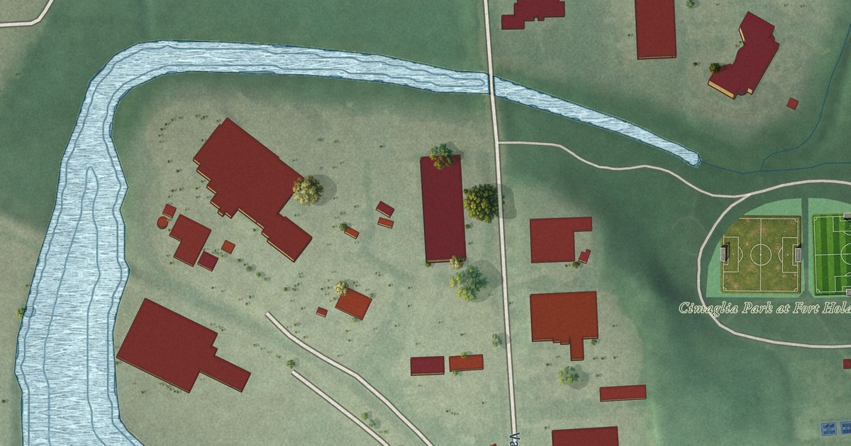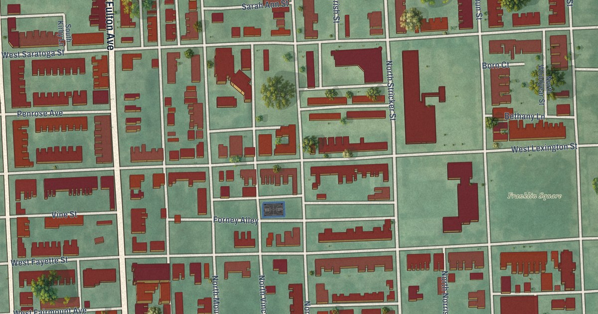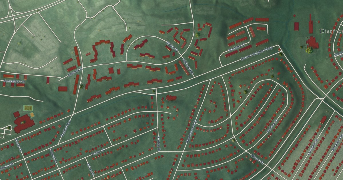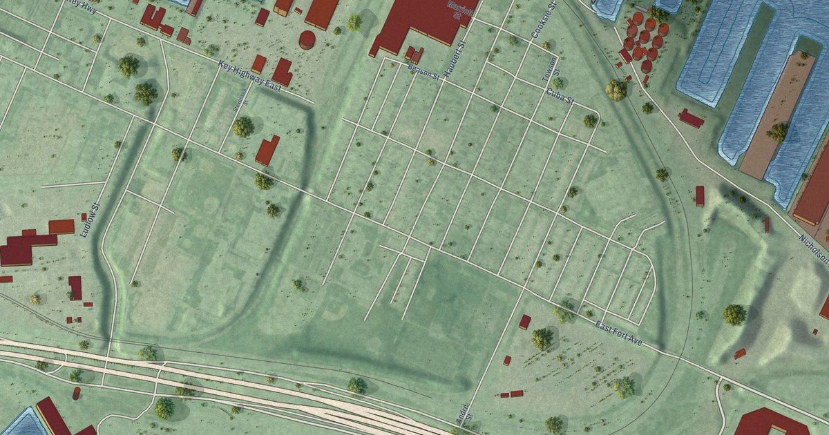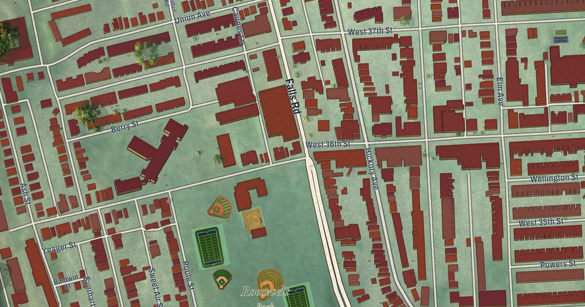
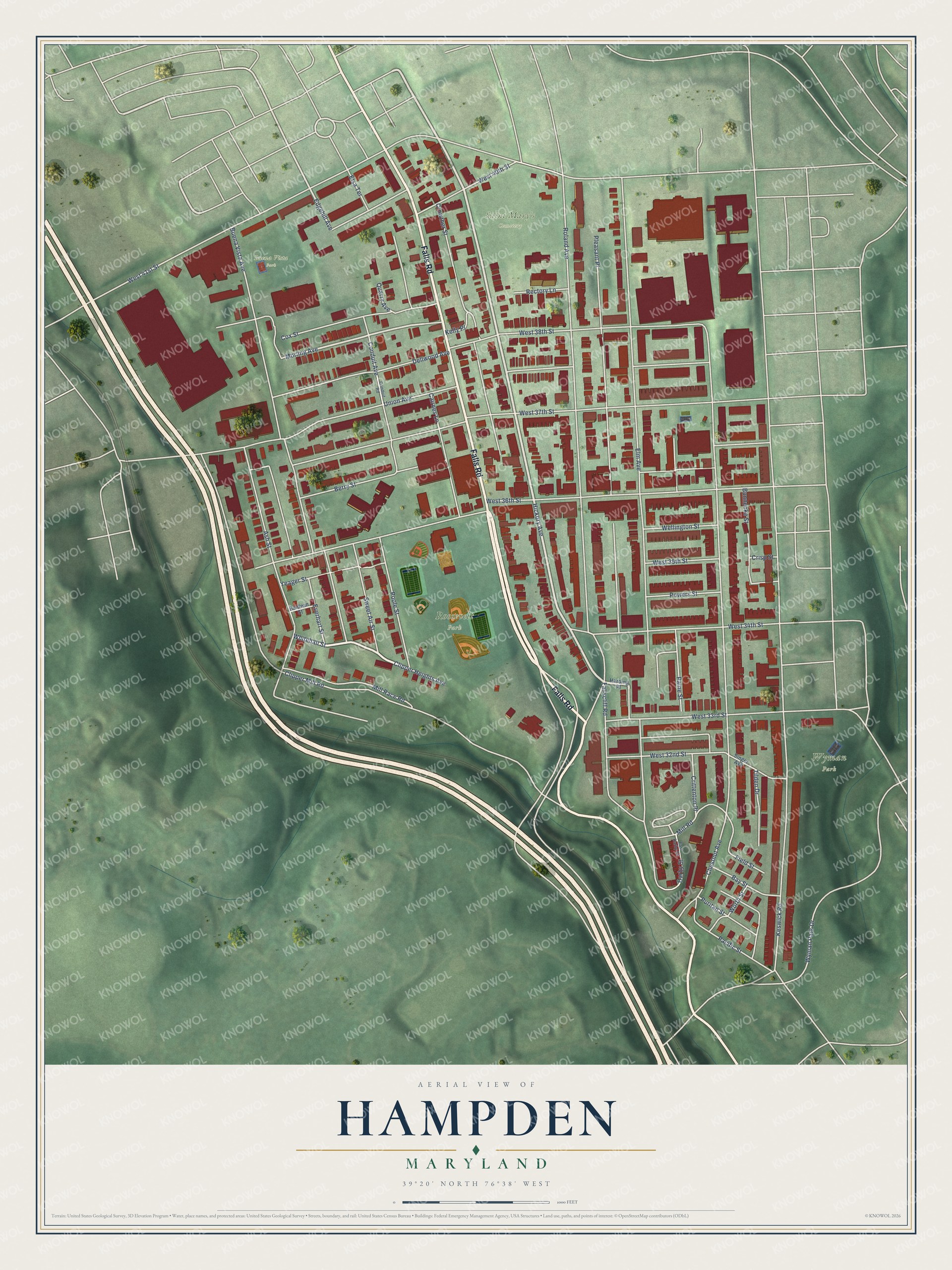
This beautifully detailed map of Hampden, Maryland was created in 2026 using aerial imagery combined with modern topographical, census, street and landmark data. It's a modern aerial view of Hampden in Baltimore City, Maryland, that combines modern data with a vintage aesthetic. The roads feature printed names, and if you look closely you can find your exact house accurately shown in its correct location.
Explore an aerial view of Hampden, Maryland
On this map you'll find Roosevelt Park, Wyman Park, Saint Mary's Cemetery, Buena Vista Park, Falls Road, Whitehall Street, Hickory Avenue, Morling Avenue, Edgehill Avenue, Keswick Road, Elm Avenue, Chestnut Avenue, and more. Each red shape is a building, so zoom in on the preview and look for yours.
Every town has a first chapter, and Hampden is no exception. The National Register of Historic Places puts it this way: "Mill Housing in the Jones Falls Valley
The Stone Hill Historic District reflects the first period settlement of the valley by textile workers."
Hampden is a neighborhood in Baltimore City.
Take a closer look at the Hampden map
Names on this map
These names are printed on this map.
Places: Roosevelt Park, Wyman Park, Saint Mary's Cemetery and Buena Vista Park.
Streets and roads: Falls Road, Whitehall Street, Hickory Avenue, Morling Avenue, Edgehill Avenue, Keswick Road, Elm Avenue, Chestnut Avenue, Roland Avenue, West 36th Street, West 37th Street, Buena Vista Avenue.
More street names, A to Z
Ash Street, Baldwin Street, Bay Street, Berry Street, Bunnecke Street, Cairnes Lane, Clipper Heights Avenue, Clipper Mill Road, Conduit Avenue, Conduit Road, Cox Street, Crisp Street, Crittenton Place, Crowther Street, Darby Street, Dellwood Avenue, East Darby Street, Elsa Terrace, Everhart Street, Fallscliff Road, Field Street, Harding Place, Kelly Place, Mill Race Road, Mill Road, Pacific Street, Paine Street, Pleasant Place, Poole Street, Powers Street, Puritan Street, Quarry Avenue, Rectory Lane, Singer Avenue, Sweet Air Street, Tilden Drive, Union Avenue, Wellington Street, West 32nd Street, West 33rd Street, West 34th Street, West 35th Street, West 38th Street, West 40th Street, West 41st Street, Worth Street, Wyman Park Drive, Yeager Street.
Created by KNOWOL in 2026. The buildings are small red shapes, the roads carry their printed names, and shaded relief shows the shape of the land. The title panel reads "AERIAL VIEW OF HAMPDEN MARYLAND" with 39°20' NORTH 76°38' WEST.
Hang it in the hallway, the office or the cabin, or give it to someone who left Hampden and still calls it home. Open the preview and look for a street you know. See sizes and frames for the Hampden map.