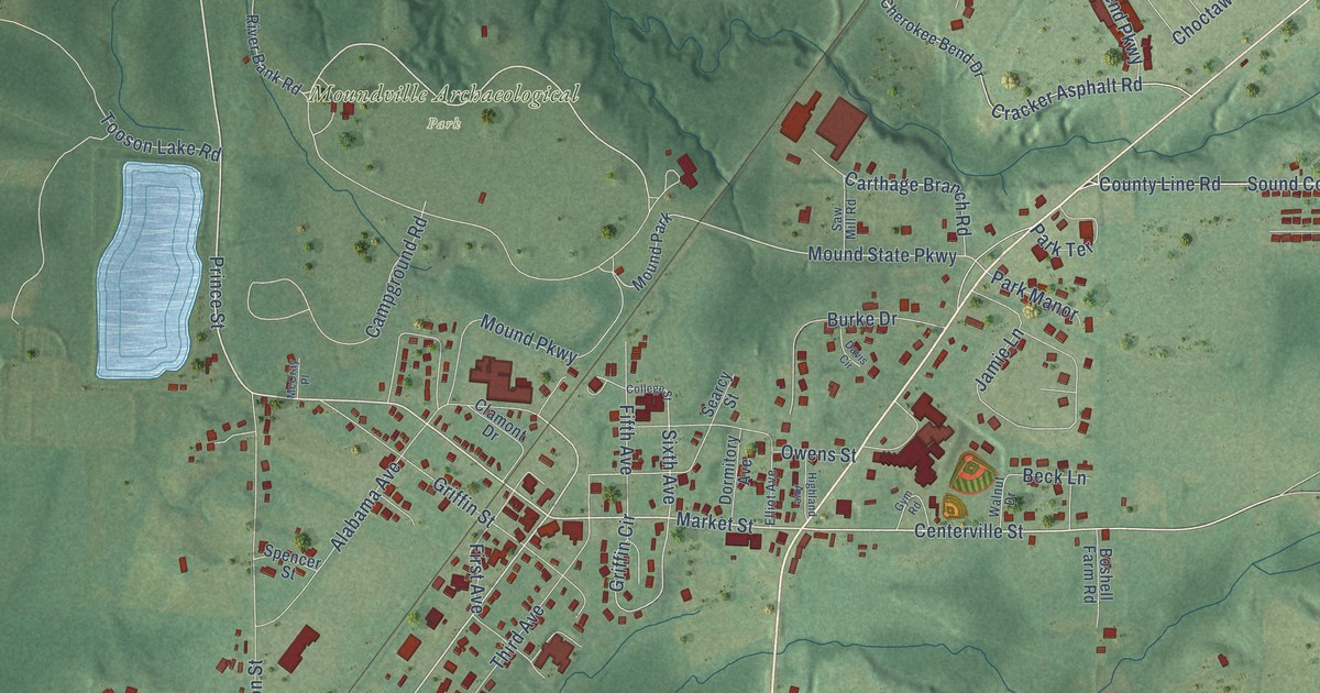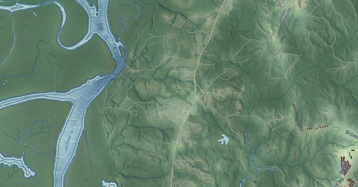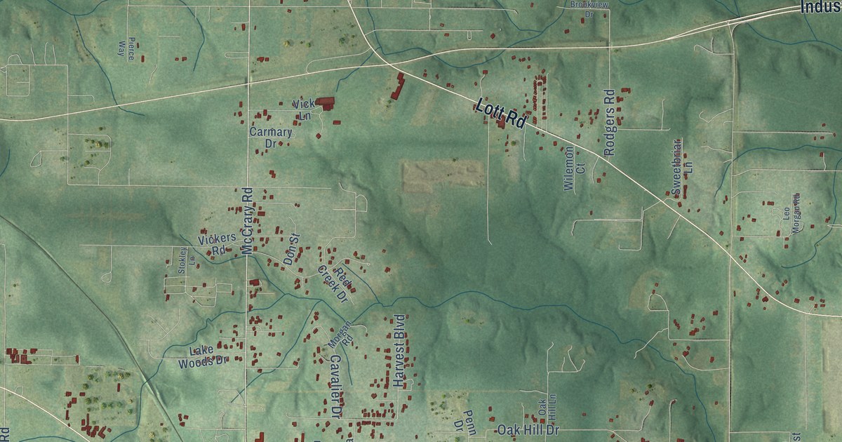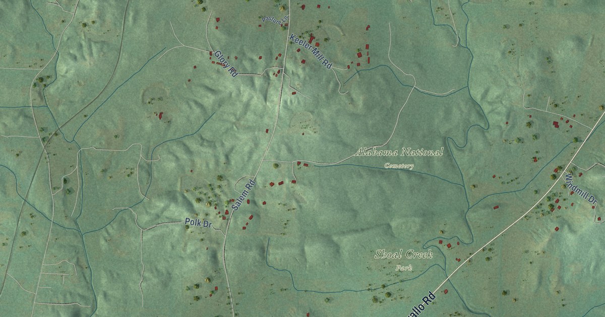
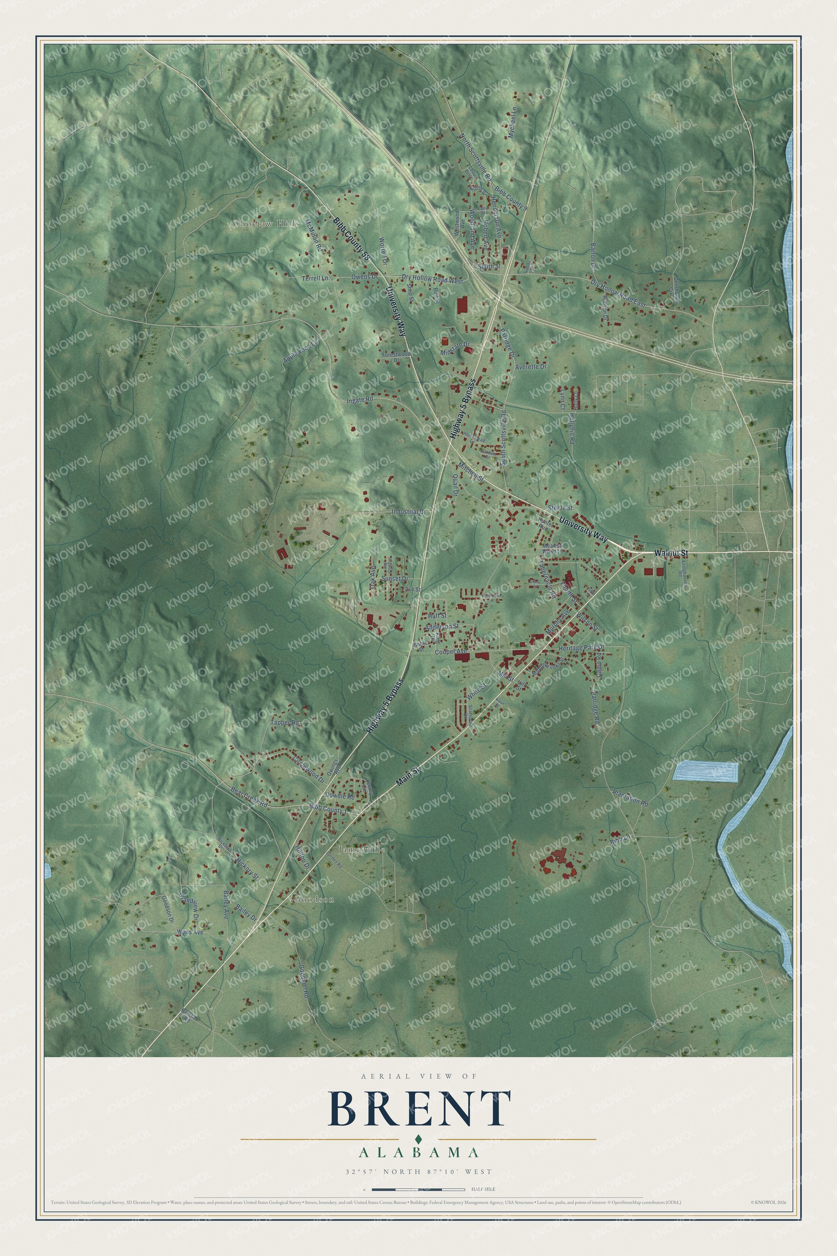
This beautifully detailed map of Brent, Alabama was created in 2026 using aerial imagery combined with modern topographical, census, street and landmark data. It's a modern aerial view of Brent in Bibb County, Alabama, that combines modern data with a vintage aesthetic. The roads feature printed names, and if you look closely you can find your exact house accurately shown in its correct location.
Explore an aerial view of Brent, Alabama
On this map you'll find Goodson, Jamesville, Choctaw Hills, Bibb County 58, University Way, Highway 5 Bypass, Main Street, Walnut Street, Bibb County 1, Circlewood Drive, Bear Creek Road, Heritage Park Drive, and more. Each red shape is a building, so zoom in on the preview and look for yours.
Every town has a first chapter, and Brent is no exception. The record at encyclopediaofalabama.org puts it this way: "Brent Saw Mill Founded in southern Bibb County near a spur of the Mobile and Ohio Railroad , the city of Brent was conceived by engineer Brent Armstrong, who had overseen construction of a railroad bridge over the Cahaba River ."
Brent is a city in Bibb County. The Census Bureau counted 2,972 people here in 2020.
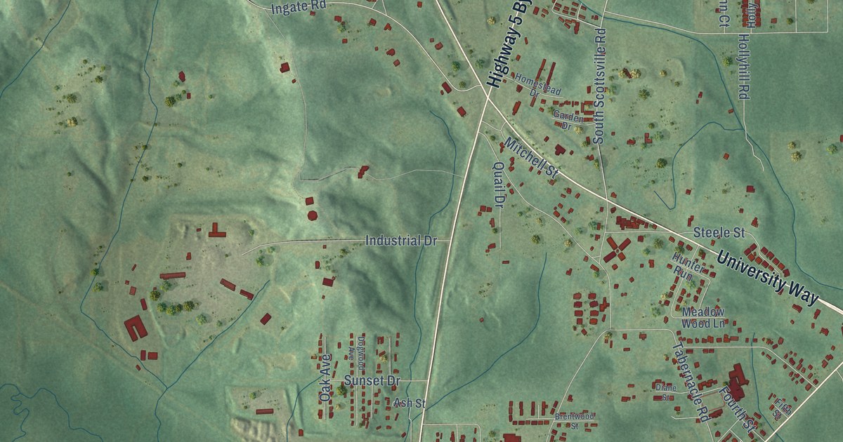
Take a closer look at the Brent map
Names on this map
These names are printed on this map.
Places: Goodson, Jamesville and Choctaw Hills.
Streets and roads: Bibb County 58, University Way, Highway 5 Bypass, Main Street, Walnut Street, Bibb County 1, Circlewood Drive, Bear Creek Road, Heritage Park Drive, Hollyhill Road, South Scottsville Road, Patridge Drive.
More street names, A to Z
Anderson Street, Applewood Lane, Ash Street, Averette Drive, Bailey Avenue, Bailey Drive, Barton Drive, Belcher Road, Bibb County 9, Bibb Lane, Brentwood Street, Burt Street, Camp Road, Cedar Bend, Cooper Avenue, Darden Road, Deerhaven Circle, Diane Street, Dogwood Avenue, Dowdle Road, Dry Hollow Road East, Dry Hollow Road West, Edna Street, Ellinghausen Road, Fifth Street, Forestwood Drive, Fourth Street, Garden Drive, Goodson Drive, Goodson Road, Grandview Drive, Henderson Avenue, Hickory Drive, Hickory Street, Hillside Drive, Hill Street, Hilltop Drive, Hobson Drive, Holly Lane, Homestead Drive, Huff Street, Hunter Run, Industrial Drive, Ingate Road, King Drive, Krout Street, Lecroy Circle, Lynn Court, McMillan Road, Meadow Wood Lane, Middlebrooks Street, Midstate Drive, Mill Street, Mitchell Street, Murphy Avenue, Mychael Lane, North Scottsville Road, North Street, Oak Avenue, Owens Drive, Owings Avenue, Patridge Road, Plantation Road, Quail Drive, Robert Avenue, Scottsville Road, Shop Street, Short Street, South Street, Steele Street, Sunset Drive, Tabernacle Road, Tapper Road, Terrell Lane, Ward Avenue, Westwood Avenue, White Street, Wilson Street, Woodland Avenue, Worrell Drive.
Created by KNOWOL in 2026. The buildings are small red shapes, the roads carry their printed names, and shaded relief shows the shape of the land. The title panel reads "AERIAL VIEW OF BRENT ALABAMA" with 32°57' NORTH 87°10' WEST.
Hang it in the hallway, the office or the cabin, or give it to someone who left Brent and still calls it home. Open the preview and look for a street you know. See sizes and frames for the Brent map.