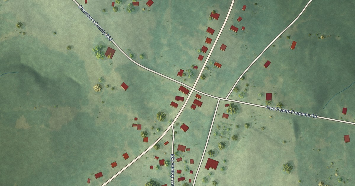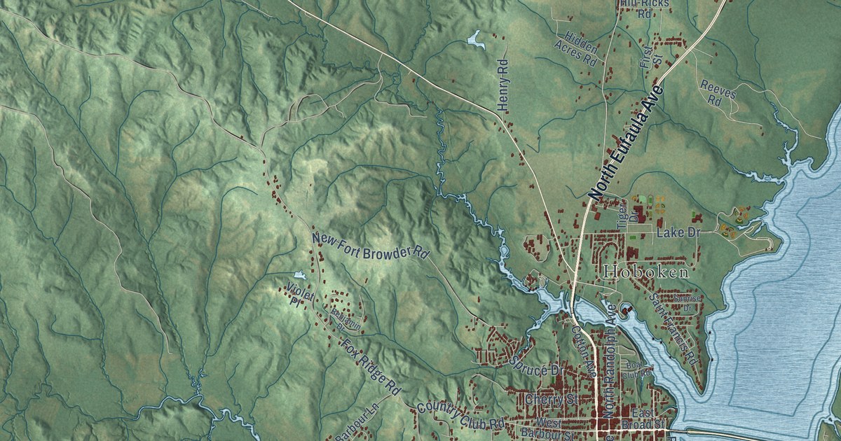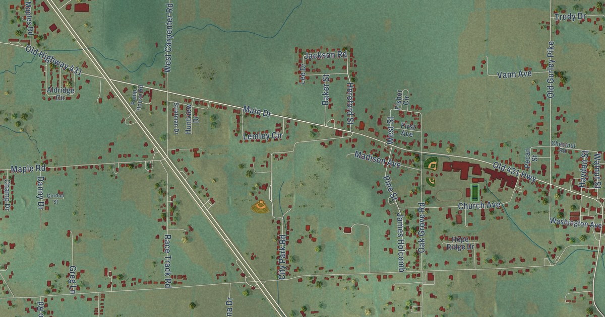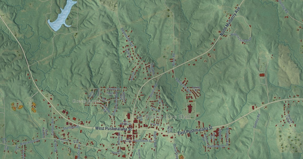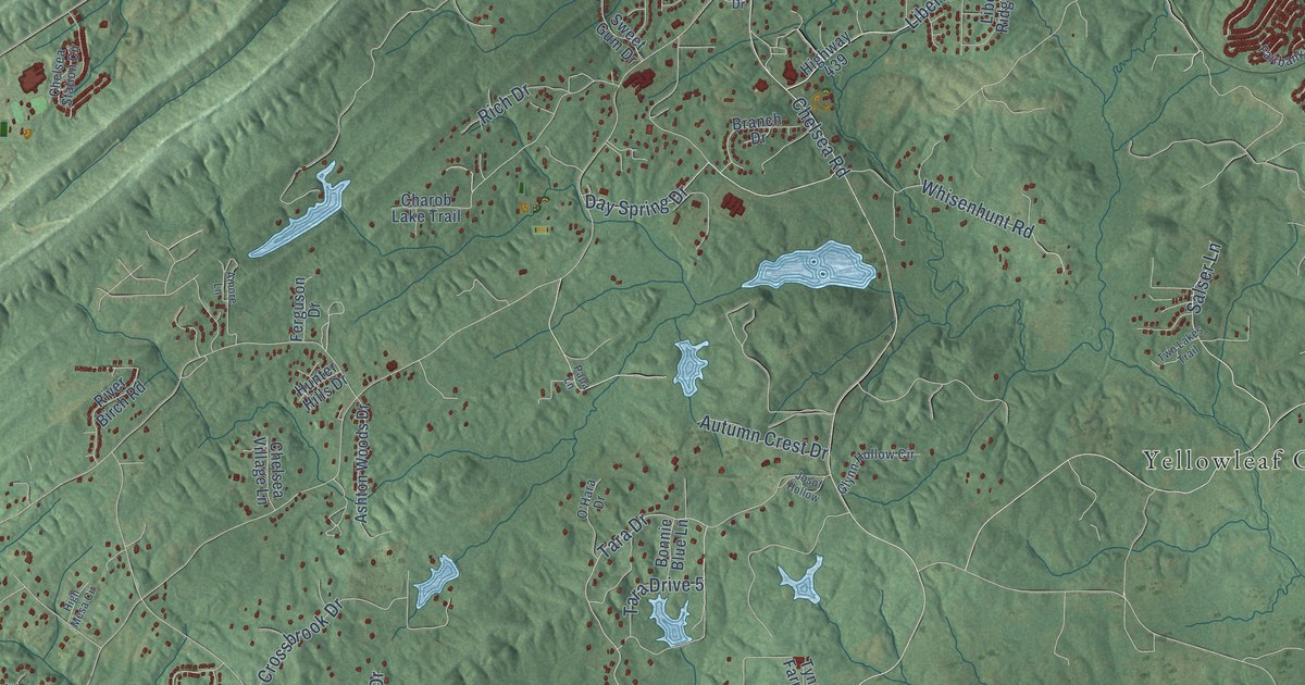
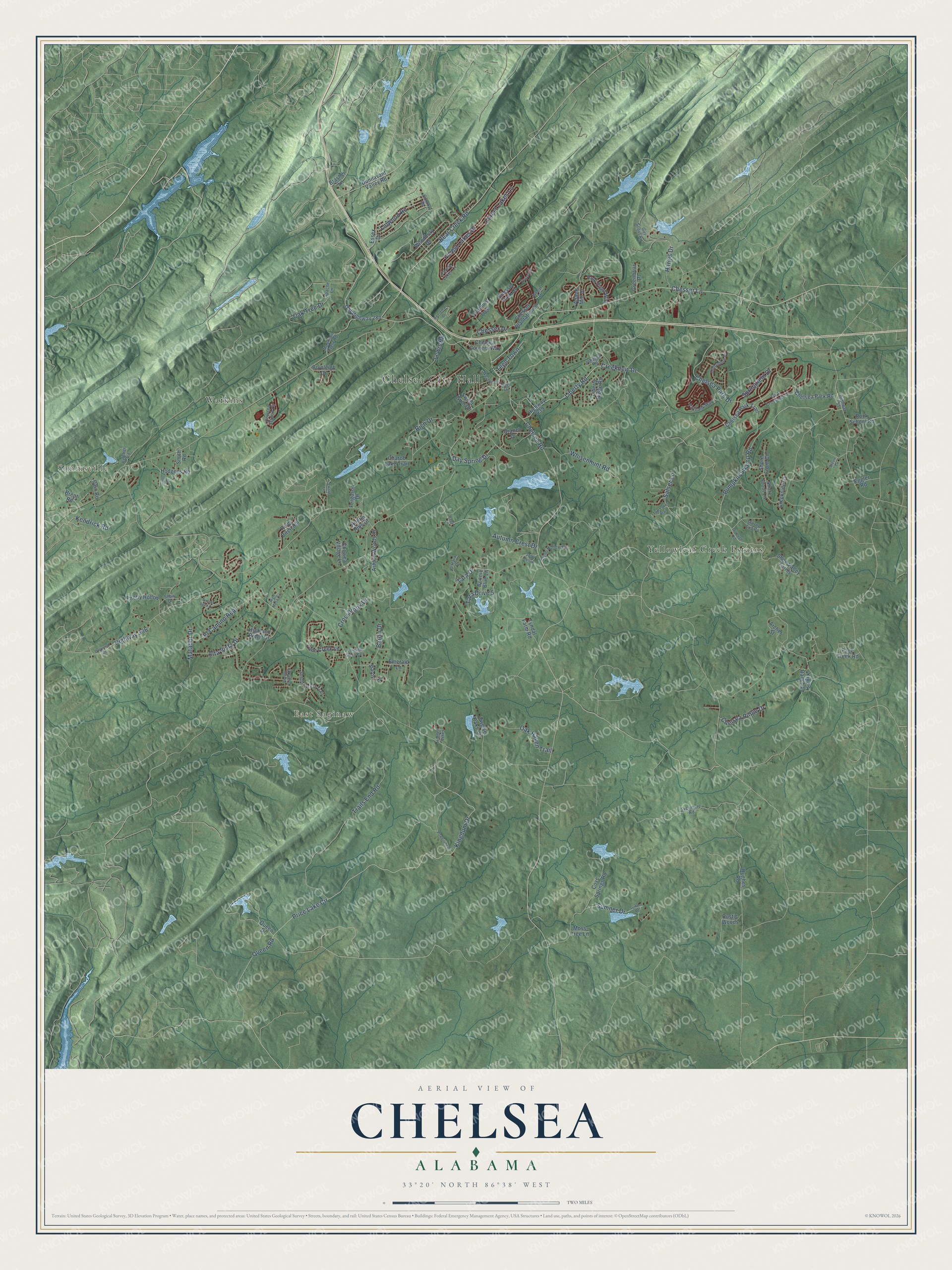
This beautifully detailed map of Chelsea, Alabama was created in 2026 using aerial imagery combined with modern topographical, census, street and landmark data. It's a modern aerial view of Chelsea in Shelby County, Alabama, that combines modern data with a vintage aesthetic. The roads feature printed names, and if you look closely you can find your exact house accurately shown in its correct location.
Explore an aerial view of Chelsea, Alabama
On this map you'll find Chelsea City Hall, Simmsville, East Saginaw, Watkins, Yellowleaf Creek Estates, Forest Lakes Lane, Chelsea Road, Price Lake Circle, Kingdom Drive, Queen Road, Liberty Road, Chesser Lane, and more. Each red shape is a building, so zoom in on the preview and look for yours.
Chelsea has a story worth telling. The record at encyclopediaofalabama.org puts it this way: "Chelsea City Hall The Chelsea area began to be settled by the mid-nineteenth century and was known by residents as Melrose, but it remained largely rural until 1908 when the Atlanta, Birmingham, and Atlantic Railroad came through and a community sprang up around the tracks."
Chelsea is a city in Shelby County. The Census Bureau counted 14,982 people here in 2020.
Take a closer look at the Chelsea map
Names on this map
These names are printed on this map.
Places: Chelsea City Hall, Simmsville, East Saginaw, Watkins and Yellowleaf Creek Estates.
Streets and roads: Forest Lakes Lane, Chelsea Road, Price Lake Circle, Kingdom Drive, Queen Road, Liberty Road, Chesser Lane, Tara Drive, Kendrick Road, Creeknew Drive, Trails End Road, Pumpkin Swamp Road.
More street names, A to Z
Adams Mill Drive, Allen Drive, Alta Vista Drive, Amore Lane, Apache Lane, Archer Street, Ashton Woods Drive, Autumn Crest Drive, Baron Drive, Baron Lane, Bear Creek Road, Belcher Road, Boardman Drive, Bonnie Blue Lane, Branch Drive, Brasher Lane, Brent Road, Brynleigh Drive, Cain Road, Carriage Creek Path, Charob Lake Trail, Chelsea Corners Way, Chelsea Park Drive, Chelsea Park Road, Chelsea Park Trail, Chelsea Ridge Drive, Chelsea Station Circle, Chelsea Village Lane, Chesser Drive, Chesser Park Drive, Chesser Plantation Lane, Conroy Road, Cove Springs Road, Creekside Cv, Crossbrook Drive, Day Spring Drive, Dogwood Drive, Dorough Road, Dunnavant Valley Road, Dunsmore Drive, Eggler Road, El Camino Real, Emerald Lane, Essex Drive, Fairbank Way, Ferguson Drive, Firefly Hollow, Foothills Trce, Forest Lakes Cv, Forest Lakes Drive, Girl Scout Road, Glynn Hollow Circle, Greenbriar Place, Hargis Drive, Hidden Acres, Highland Ridge Drive, High Mesa Circle, Highway 51, Highway 336, Highway 439, Hodgens Road, Hughes Road, Hunter Hills Drive, Johnson Road, Josof Hollow, Junearl Drive, King's Ranch Lane, Lewis Road, Liberty Ridge Road, Lime Creek Lane, Linwood Road, Matador Drive, Moss Tree Lane, Mountain Crest Road, O'Hara Drive, Oak Haven Trail, Oak Tree Drive, Old Highway 280, Page Creek Road, Papa Lane, Park Crossings Drive, Polo Field Way, Powerline Drive, Queen Drive, Rich Drive, River Birch Road, Rock School Road, Rustic Woods, Salser Lane, Scarlet Lane, Shaw Drive, Shelby Forest Court, Shelby Forest Trail, Shire Valley Farms, Shore Front Circle, Shore Front Lane, Smith Road, Springfield Drive, Stevie Lane, Stirrup Cup Cv, Sumner Drive, Sumner Road, Sunset Lake Drive, Sweet Gum Drive, Sycamore Road, Tara Drive 5, Teen Town, Twelve Oaks Circle, Two Lakes Trail, Tyler Drive, Tyndal Farm Road, Weldon Drive, Whisenhunt Road, Woodbury Drive.
Created by KNOWOL in 2026. The buildings are small red shapes, the roads carry their printed names, and shaded relief shows the shape of the land. The title panel reads "AERIAL VIEW OF CHELSEA ALABAMA" with 33°20' NORTH 86°38' WEST.
It looks right in a kitchen, an office or a den, and it's a gift for anyone who grew up in Chelsea or moved away. Open the preview and find your street. See sizes and frames for the Chelsea map.