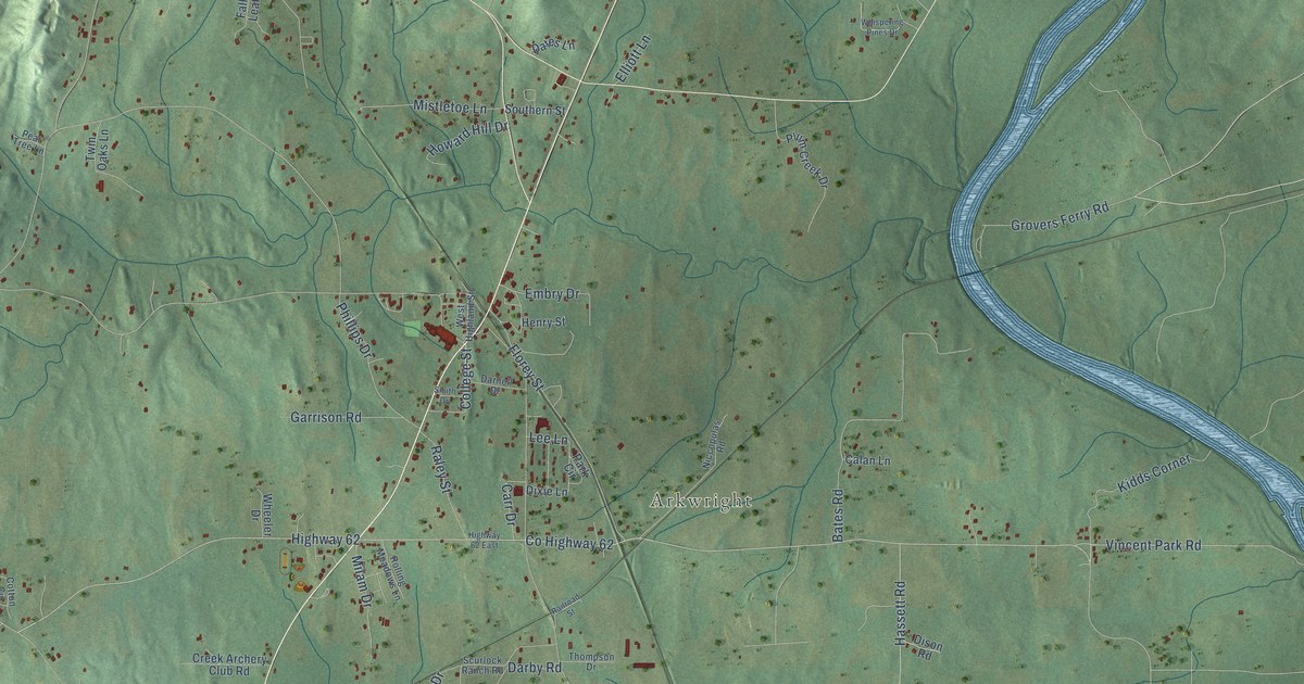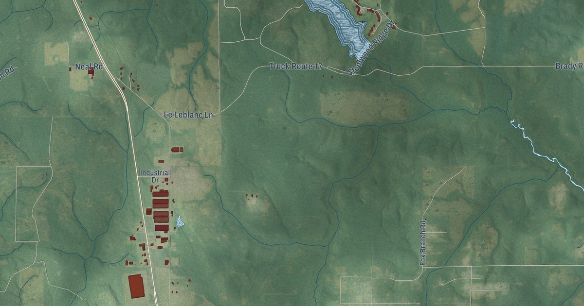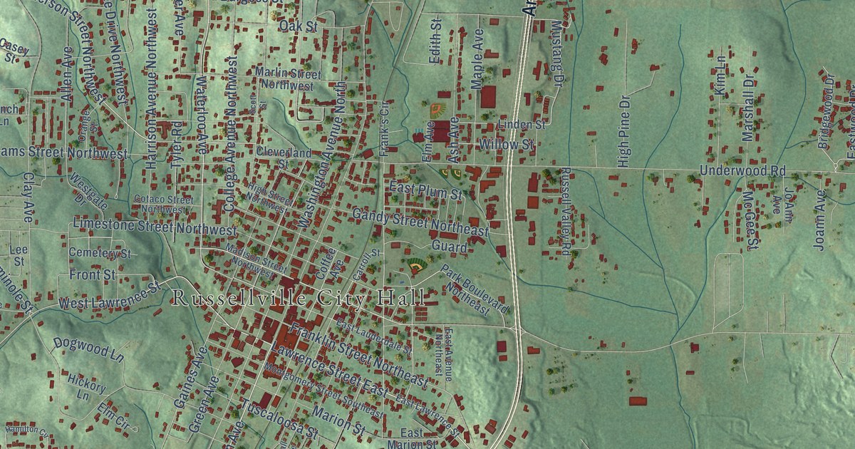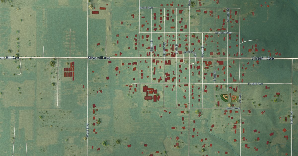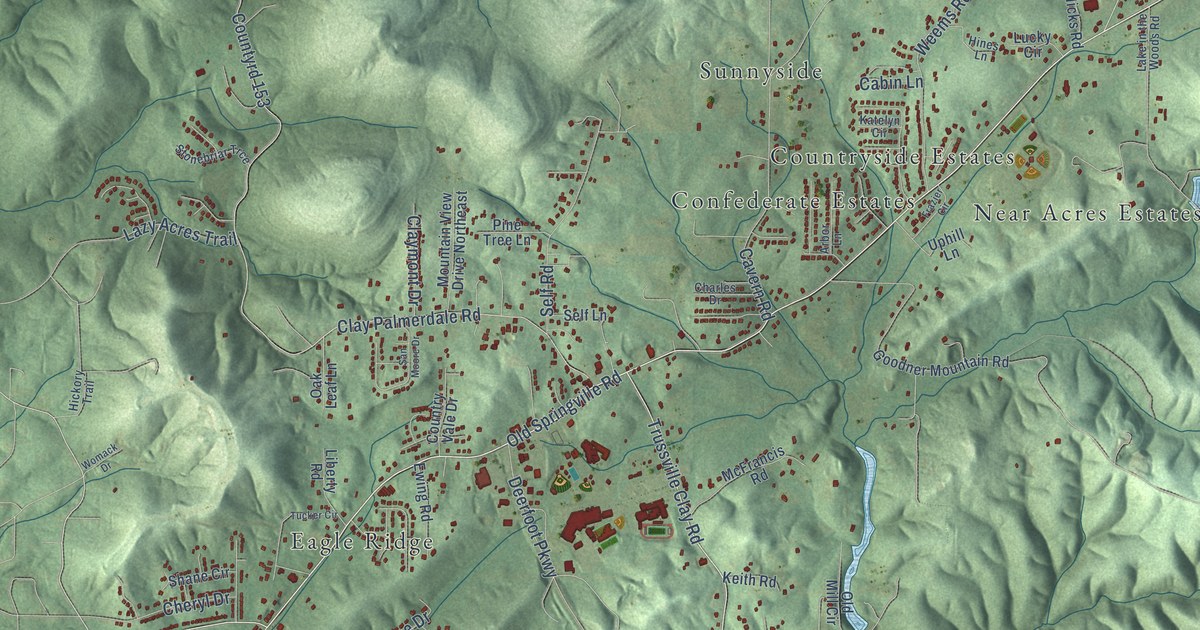
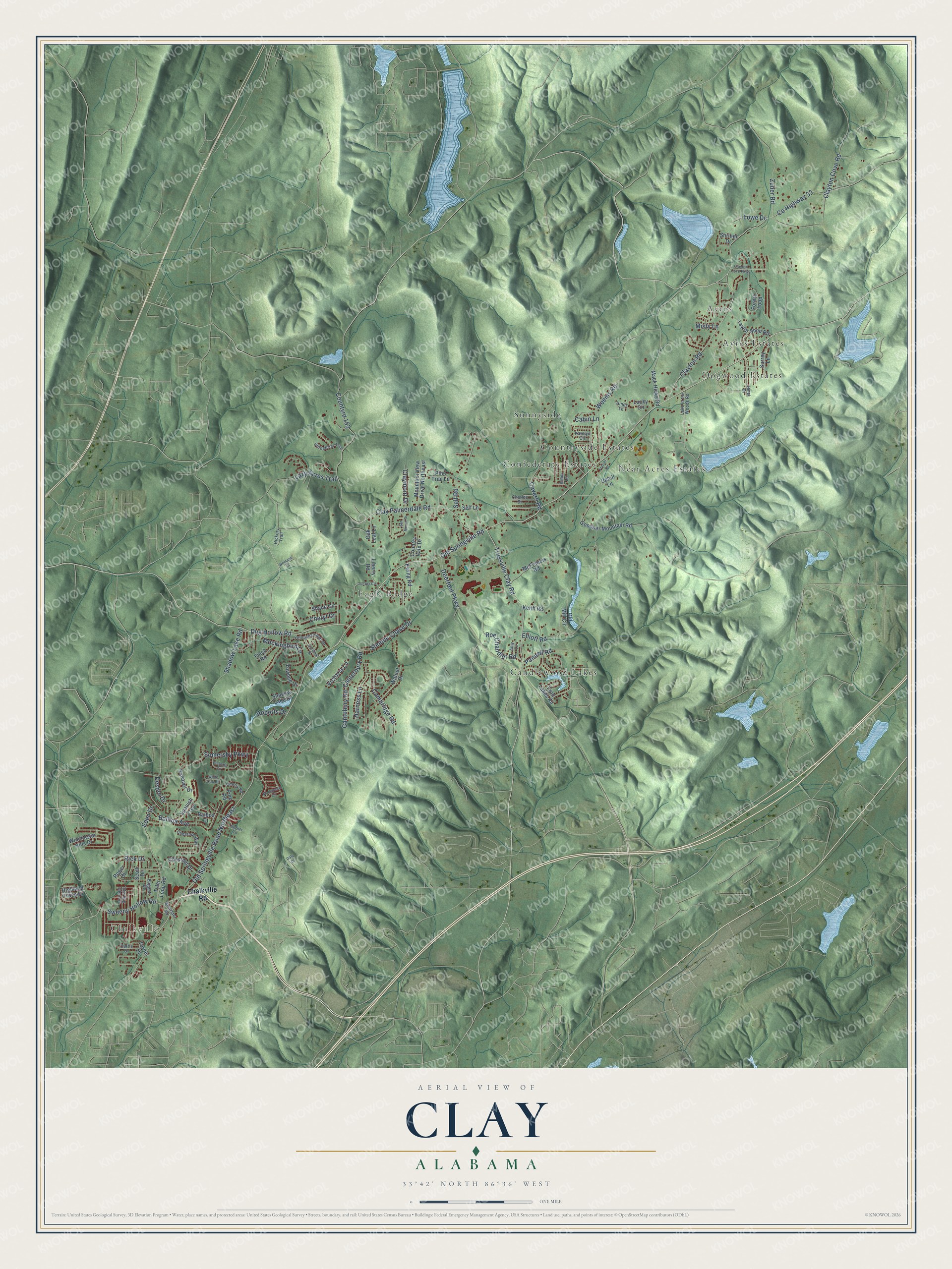
This beautifully detailed map of Clay, Alabama was created in 2026 using aerial imagery combined with modern topographical, census, street and landmark data. It's a modern aerial view of Clay in Jefferson County, Alabama, that combines modern data with a vintage aesthetic. The roads feature printed names, and if you look closely you can find your exact house accurately shown in its correct location.
Explore an aerial view of Clay, Alabama
On this map you'll find Chalkville, Ayres, Ayres Estates, Candlewood Lakes, Confederate Estates, Countryside Estates, Dogwood Estates, Eagle Ridge, Near Acres Estates, Sunnyside, Old Springville Road, Old Springville Road Northeast, and more. Each red shape is a building, so zoom in on the preview and look for yours.
Here is a piece of Clay history, in the words of the record. The record at encyclopediaofalabama.org puts it this way: "Schools in Clay are part of the Jefferson County school system; the town has one elementary school, one middle school, and one high school."
Clay is a city in Jefferson County. The Census Bureau counted 10,291 people here in 2020.
Take a closer look at the Clay map
Names on this map
These names are printed on this map.
Places: Chalkville, Ayres, Ayres Estates, Candlewood Lakes, Confederate Estates, Countryside Estates, Dogwood Estates, Eagle Ridge, Near Acres Estates and Sunnyside.
Streets and roads: Old Springville Road, Old Springville Road Northeast, Trussville Clay Road, Steeple Chase Drive, Clayton Road, County Highway 32, Clay Palmerdale Road, Countyrd 153, Dug Hollow Road, Sweeny Hollow Road, Deerfoot Parkway, Cavern Road.
More street names, A to Z
Amy Lane, Arbor Lane, Baggett Drive, Balboa Avenue, Balboa Court, Brewer Lane, Brewster Road, Cabin Lane, Cambridge Road, Cantebury Road, Canterbury Road, Cardinal Drive, Chalkville Road, Charles Drive, Cherry Road, Cheryl Drive, Chestnut Drive, Chestnut Way, Claymont Drive, Clayton Cove Parkway, Clayton Cove Road, Country Vale Drive, Curtis Drive, Daly Drive, Desoto Drive, Eden Drive, Elliott Road, Ewing Road, Finch Road, Forest Loop, Frazier Circle, Goodner Mountain Road, Hanover Drive, Harness Lane, Hickory Trail, Highland Trace Drive, Hines Lane, Janet Drive, Katelyn Circle, Keith Road, Lake in the Woods Road, Lazy Acres Trail, Liberty Road, Lowe Drive, Lucky Circle, Mack Hicks Road, Manchester Circle, McFrancis Road, Misty Lane, Mockingbird Lane, Mountain View Drive Northeast, Oak Leaf Lane, Old Mill Circle, Pannell Road, Picketts Circle, Pine Road, Pine Tree Lane, Rick Drive, Roberts Drive, Roe Chandler Road, Roger Drive, San Moore Drive, Scott Drive, Self Lane, Self Road, Shadow Lake Drive, Shadow Lake Road, Shane Circle, Shriner Drive, Somersby Parkway, Spanish Trce, Sterling Glen Drive, Stonebriar Trce, Surrey Lane, Taylor Shop Road, Towhee Drive, Tucker Circle, Turner Drive, Twin Lakes Road, Tyler Loop Road, Uphill Lane, Victoria Lane, Walnut Drive, Weems Road, White Oak Road, Winchester Hills Drive, Womack Drive, Yellowhammer Drive, Zuber Road.
Created by KNOWOL in 2026. The buildings are small red shapes, the roads carry their printed names, and shaded relief shows the shape of the land. The title panel reads "AERIAL VIEW OF CLAY ALABAMA" with 33°42' NORTH 86°36' WEST.
It suits a den, a classroom or a front hall, and it makes a gift for anyone with Clay roots. Open the preview and find the block you know. See sizes and frames for the Clay map.