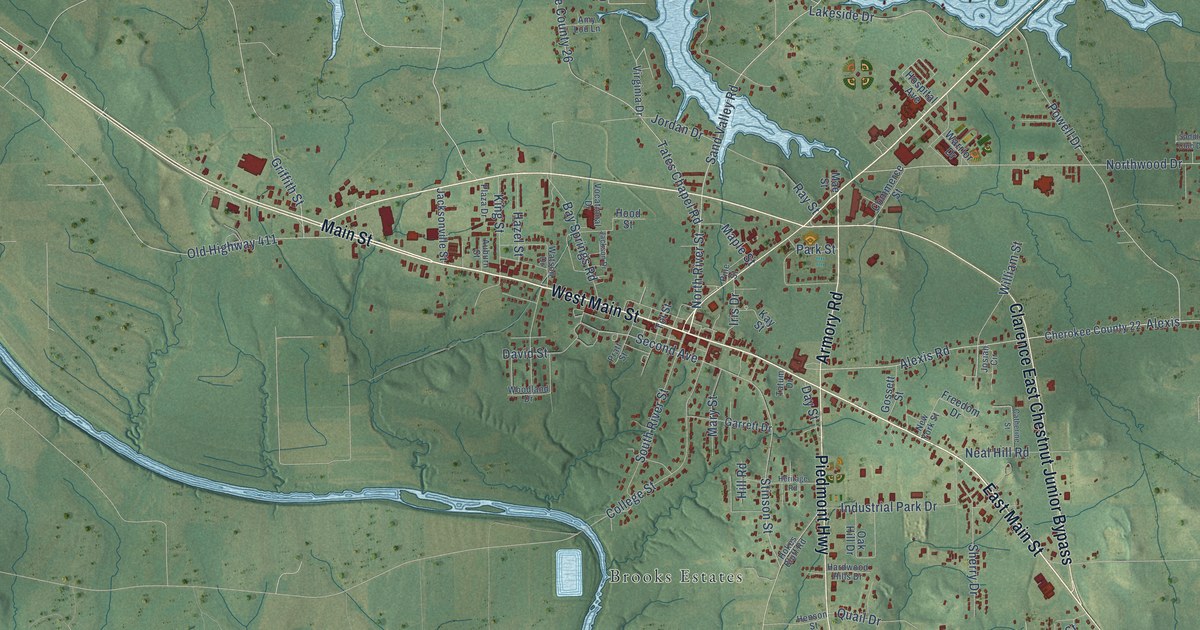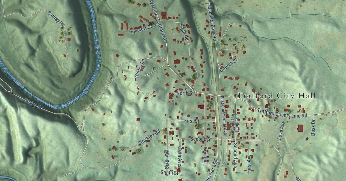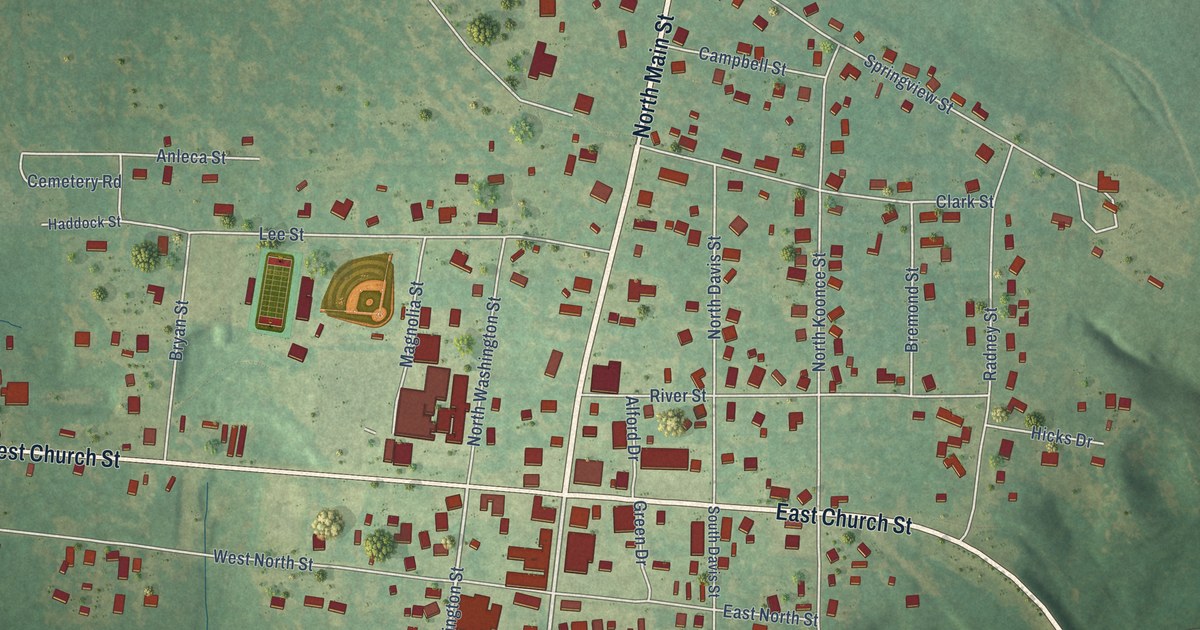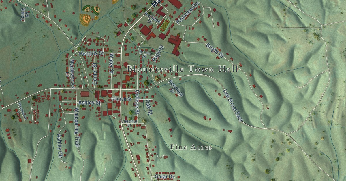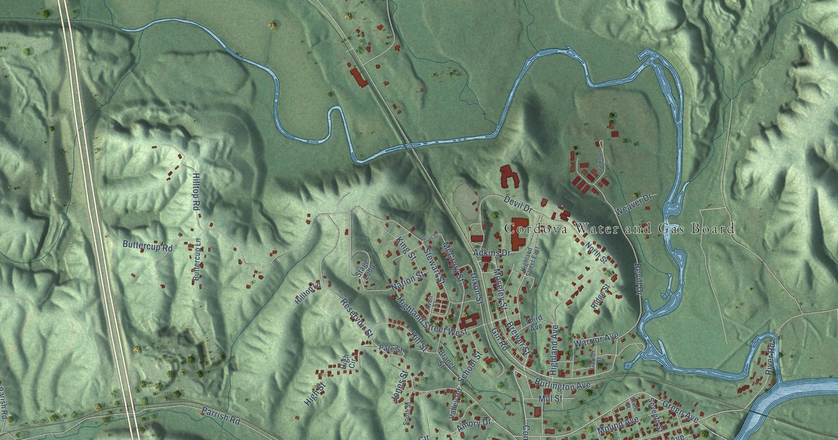
This beautifully detailed map of Cordova, Alabama was created in 2026 using aerial imagery combined with modern topographical, census, street and landmark data. It's a modern aerial view of Cordova in Walker County, Alabama, that combines modern data with a vintage aesthetic. The roads feature printed names, and if you look closely you can find your exact house accurately shown in its correct location.
Explore an aerial view of Cordova, Alabama
On this map you'll find Cordova Water and Gas Board, Gobblers Crossing, Corinth, Benoit, Moseley Street, Brewer Street, Commerce Street, Stevens Street, Green Avenue, Amory Drive, River Road, Alexander Road, and more. Each red shape is a building, so zoom in on the preview and look for yours.
Here is a piece of Cordova history, in the words of the record. The record at encyclopediaofalabama.org puts it this way: "Like so many other places, Cordova suffered severely during the Great Depression ; most of the local coal mines had been mined out and closed by 1929, and the textile mill closed around mid-century."
Cordova is a town in Walker County. The Census Bureau counted 1,728 people here in 2020.
Take a closer look at the Cordova map

Names on this map
These names are printed on this map.
Places: Cordova Water and Gas Board, Gobblers Crossing, Corinth and Benoit.
Streets and roads: Moseley Street, Brewer Street, Commerce Street, Stevens Street, Green Avenue, Amory Drive, River Road, Alexander Road, Horse Creek Boulevard, School Street, Hill Street, Brick Plant Road.
More street names, A to Z
Adkins Drive, Aldridge Road, Amory Avenue, Avon Street, Badger Lane, Beech Street, Bevill Drive, Branch Street, Burlington Avenue, Burnett Loop Road, Buttercup Lane, Buttercup Road, Buttermilk Road, Columbus Street, Columbus Street East, Cook Boulevard, Cordova-Gorgas Road, Cordova Parish Road, Crestview Heights Circle, Crestview Heights Lane, Crestview Heights Road, Dan Street, Devil Drive, Dixon Street, Driver Lane, First Street, Gardners Gin Road, Garner Street, Gin Road, High Circle, Highland Avenue, Highland Street East, Highland Street West, High Street, Hilltop Lane, Hilltop Road, Jinwright Road, Jog Road, Johnson Drive, Jones Street, King Street, Long Avenue, Manuel Hill Road, Maple Street, McCrory Street, Mill Street, Mound Avenue, Mount Pisgah Road, Nation Street, New Parrish Highway, North Street, Oak Street, Old Barney Road, Parrish Road, Pate Street, Reservoir Street, Ridge Street, Robinson Road, Second Street, Seventh Street, Sixth Street, South Circle, South Street, Sparkman Lane, Stage Loop, Stewart Street, Third Avenue, Valley Road, Warrior Avenue, Warrior River Lane, Water Tower Road, Weaver Drive.
Created by KNOWOL in 2026. The buildings are small red shapes, the roads carry their printed names, and shaded relief shows the shape of the land. The title panel reads "AERIAL VIEW OF CORDOVA ALABAMA" with 33°46' NORTH 87°11' WEST.
It suits a den, a classroom or a front hall, and it makes a gift for anyone with Cordova roots. Open the preview and find the block you know. See sizes and frames for the Cordova map.