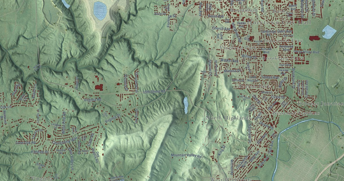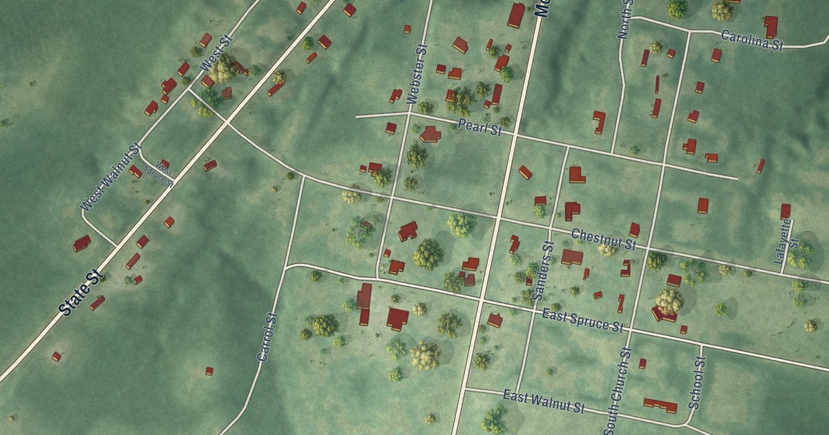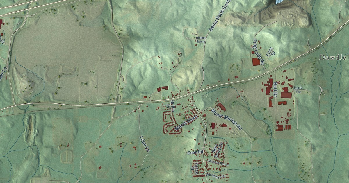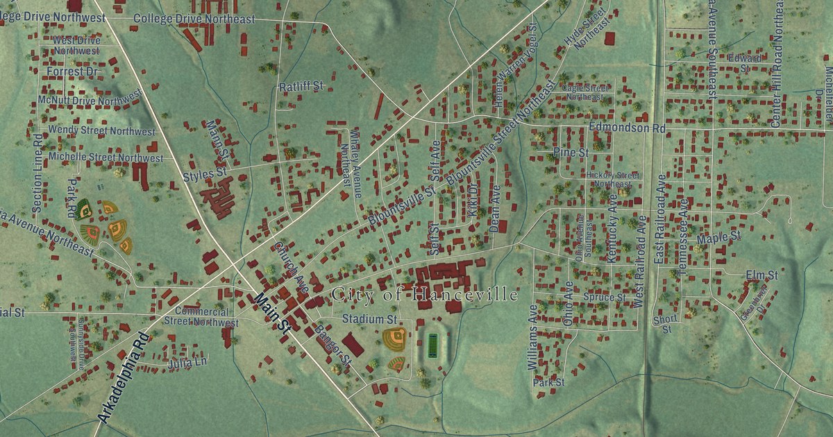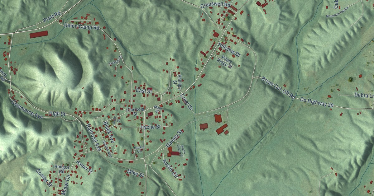
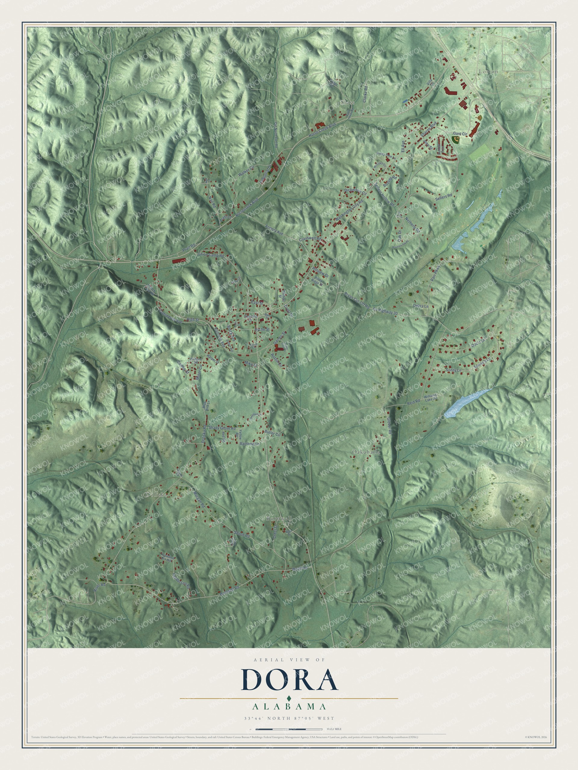
This beautifully detailed map of Dora, Alabama was created in 2026 using aerial imagery combined with modern topographical, census, street and landmark data. It's a modern aerial view of Dora in Walker County, Alabama, that combines modern data with a vintage aesthetic. The roads feature printed names, and if you look closely you can find your exact house accurately shown in its correct location.
Explore an aerial view of Dora, Alabama
On this map you'll find Lorton, Sloss, Doliska, Burnwell, Oakahalla, Horsecreek Boulevard, Commerce Avenue, Wyatt Road, River Road, Burnwell Road, Doliska Road, High Street, and more. Each red shape is a building, so zoom in on the preview and look for yours.
Dora has a story worth telling. The record at encyclopediaofalabama.org puts it this way: "The company constructed a stop at what is now Dora but at the time was referred to as Sharon by railroad officials, and it spurred the subsequent establishment of numerous businesses; the town itself soon became known as Sharon."
Dora is a city in Walker County. The Census Bureau counted 2,297 people here in 2020.
Take a closer look at the Dora map
Names on this map
These names are printed on this map.
Places: Lorton, Sloss, Doliska, Burnwell and Oakahalla.
Streets and roads: Horsecreek Boulevard, Commerce Avenue, Wyatt Road, River Road, Burnwell Road, Doliska Road, High Street, Creel Street, Sharon Boulevard, Joey Street, Black Avenue, Gant Circle.
More street names, A to Z
Armory Avenue, Austin Circle, Austin Circle Drive, Blacks Road, Blain Drive, Blue Bird Lane, Brown Road, Bryan Cut-Off Road, Bussey Road, Butler Circle, Chercola Street, Clarke Road, Combs Street, County Highway 30, Crauswell Road, Crawford Nix Hill, Crest Drive, Cut North Curl Road, Debra Lane, Dickerson Circle, Doc's Drive, Dunbar Trce, East Street, Ell Avenue, French Town Road, Gaines Street, Glover Road, Harper Street, Harris Circle, Henderson Road, Hillview Drive, Hodges Road, Horse Creek Boulevard, Hyche Street, Industrial Drive, Jackson Drive, Main Street, McCrary Circle, Mike Street, Minor Circle, Morgan Road, Mountain Top Road, Nail Lane, Nail Road, Netherly Road, Oak Drive, Parr Parkway, Phillips Street, Piney Ridge Street, Piney Tree Lane, Pleasant Lane, Pratt Lane, Pratt Road, Radio Tower Road, Railroad Avenue, Rainbow Lane, Red Road, Reid Road, Sellers Hollow Road, Sellers Road, Shady Grove Road, Shiloh Road, Sonny's Lane, Sonny Lane, Sugar Top Lane, Sutton Avenue, Tower Road, Union Camp Road, Villa Circle, Walker Circle, Washington City Road, Williams Lake Road, Wolfe Street, Yellow Road.
Created by KNOWOL in 2026. The buildings are small red shapes, the roads carry their printed names, and shaded relief shows the shape of the land. The title panel reads "AERIAL VIEW OF DORA ALABAMA" with 33°44' NORTH 87°05' WEST.
It looks right in a kitchen, an office or a den, and it's a gift for anyone who grew up in Dora or moved away. Open the preview and find your street. See sizes and frames for the Dora map.