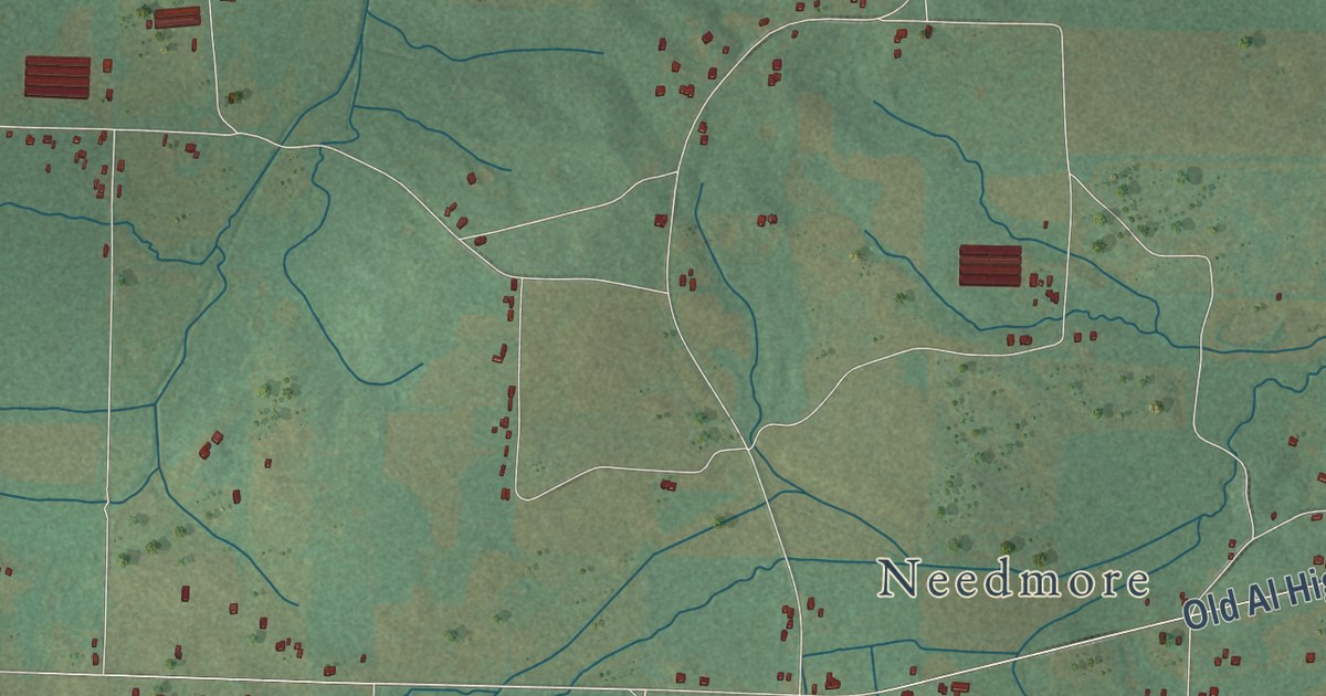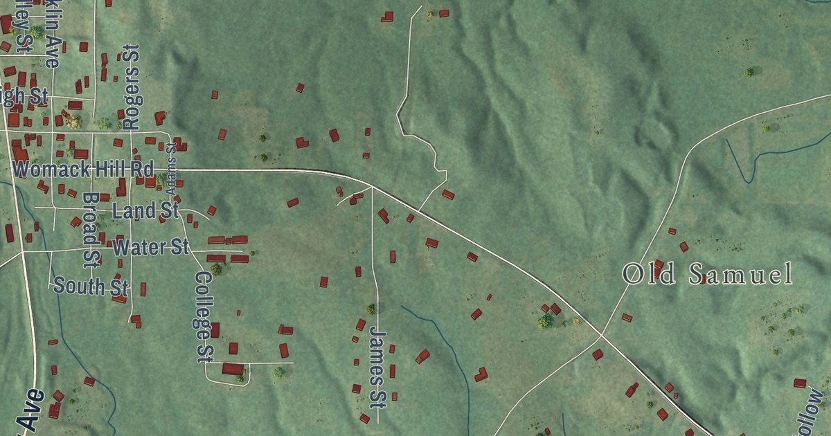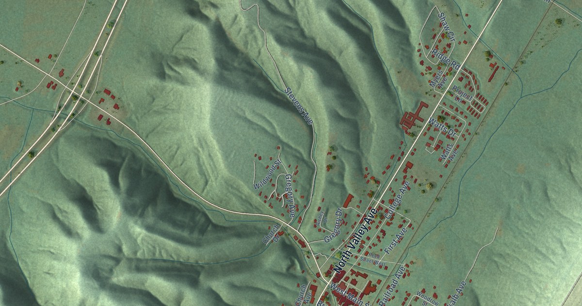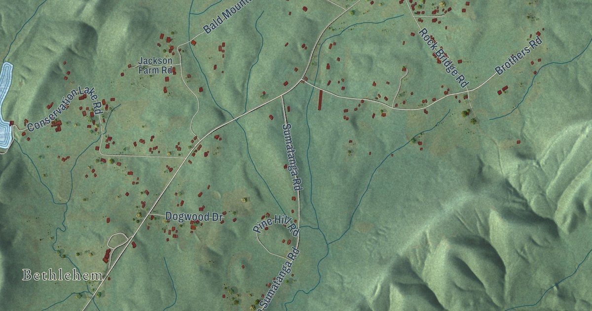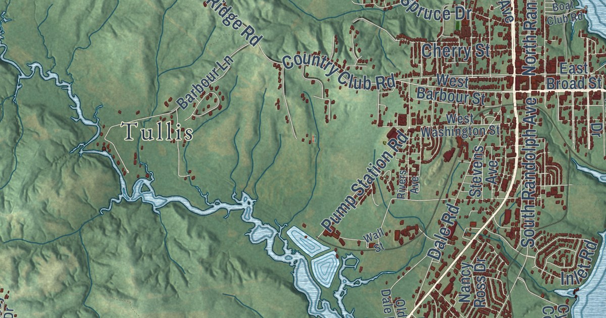
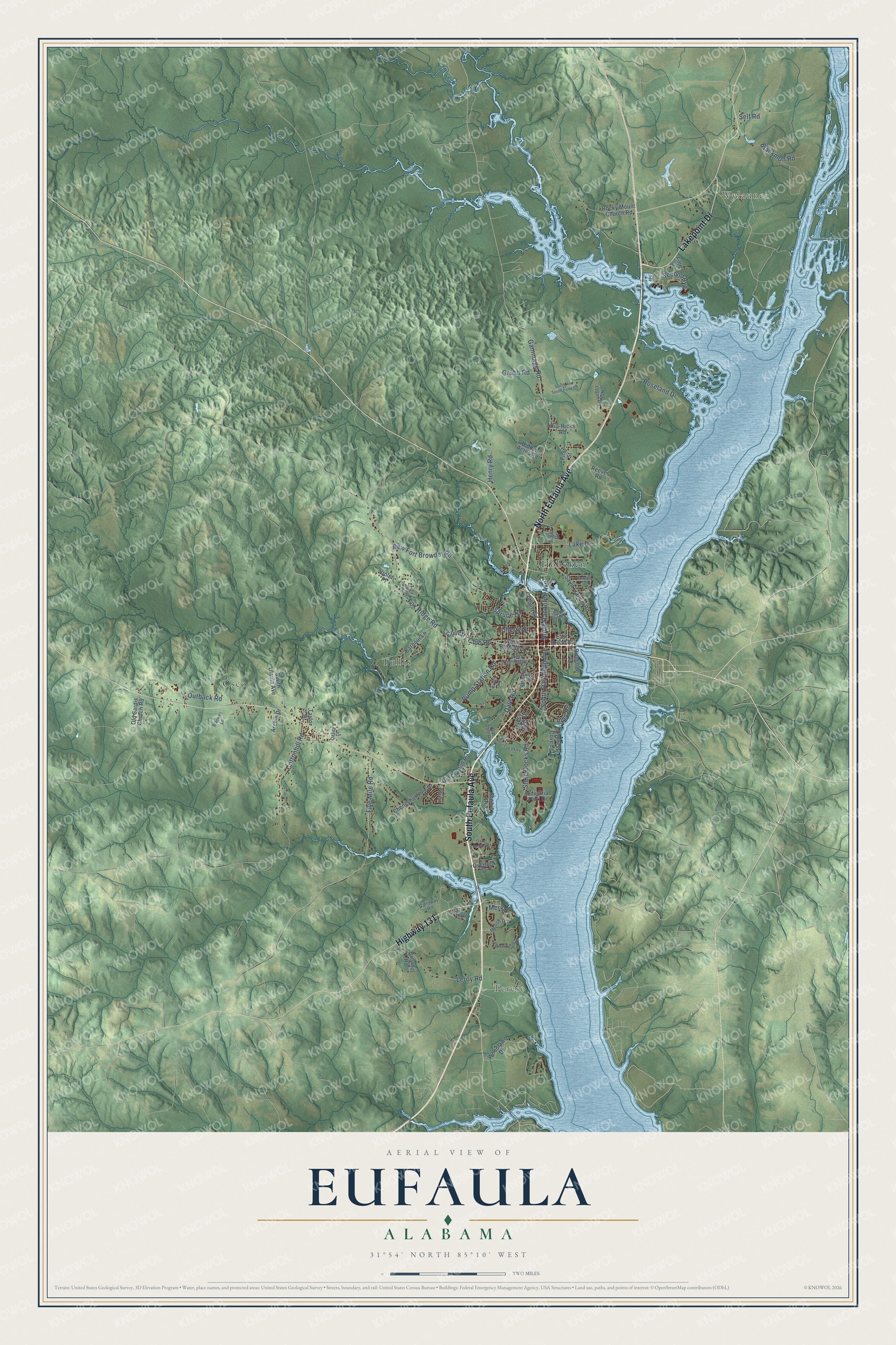
This beautifully detailed map of Eufaula, Alabama was created in 2026 using aerial imagery combined with modern topographical, census, street and landmark data. It’s a one-of-a-kind view of Eufaula that combines accurate data with a vintage aesthetic. The map shows every building in its true location, many of the roads carry their names, and the shaded topographic relief shows the shape of the land.
Explore an aerial view of Eufaula, Alabama
On the map you’ll find Wylaunee, Terese, Hoboken, Osco, Tullis, and Merion, along with South Eufaula Avenue, North Eufaula Avenue, Lakepoint Drive, Highway 131, New Fort Browder Road, Gammage Road, and more. If you look closely you can even find your house accurately drawn in its correct location. Zoom in on the preview to look for yours.
Did you know this piece of Eufaula, Alabama history?
From Encyclopediaofalabama.org: "In 1816, White settlers from Georgia arrived in search of fertile land and established the first permanent White settlement on these high bluffs above the river, adopting the Creek village name of Eufaula."
Take a closer look at the Eufaula map
Street and place names on the Eufaula, Alabama map
These names are printed on the map of Eufaula, Alabama.
Places: Wylaunee, Terese, Hoboken, Osco and Tullis.
Streets and roads: South Eufaula Avenue, North Eufaula Avenue, Lakepoint Drive, Highway 131, Merion, New Fort Browder Road, Gammage Road, Fox Ridge Road, Outback Road, Cottonhill Road, South Randolph Avenue, Five Mile Road.
More street names, A to Z
Archie Drive, Barbour Lane, Benjamin Drive, Blackmon Road, Boat Club Road, Braswell Lane, Briarhill Road, Calhoun Circle, Casey Drive, Cheneyhatchee Drive, Cherry Street, Cotton Avenue, Country Club Road, Cypress Cove Drive, Dale Road, East Broad Street, Fifth Street, First Street, Galloway Road, Grubb Road, Henry Road, Hidden Acres Road, Hill-Ricks Road, Industrial Park Drive, Inlet Road, Lake Drive, Leroy Road, Lindsey Lane, Merion Drive, Nancy Ross Drive, Neal Logue Road, North Randolph Avenue, Oaks Landing Drive, Old Clayton Road, Old Dale Road, Old Sardis Church Road, Overlook Drive, Paul Lee Parkway, Pebble Beach Drive, Pump Station Road, Reeves Road, Rivers Avenue, Riverside Drive, Rocky Mount Church Road, Roseland Drive, Saint Francis Road, Scenic Drive, Second Avenue, Self Road, South And South Farm Road, South Ufaula Avenue, Spruce Drive, State Docks Road, Stevens Avenue, Sunrise Drive, Taylor Drive, Third Avenue, Tiger Drive, Violet Place, Wall Street, West Barbour Street, West Washington Street, Woodlawn Drive.
See the Eufaula, Alabama map on a wall
The Eufaula map as an 18 x 24 inch print in a black frame.

This beautifully detailed map of Eufaula makes an attractive addition to your office, library, or den, and it can even be used to teach children the geography and history of the area. It also makes a great gift for anyone who grew up in Eufaula or moved away. When you’re done exploring, click here to get your copy of the Eufaula map.