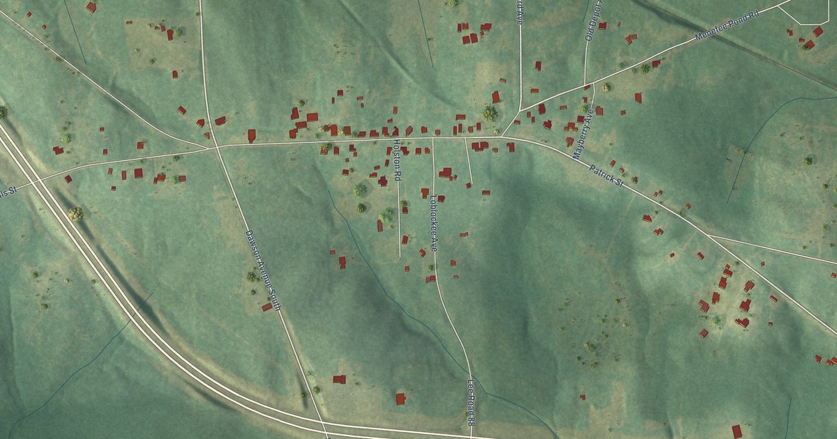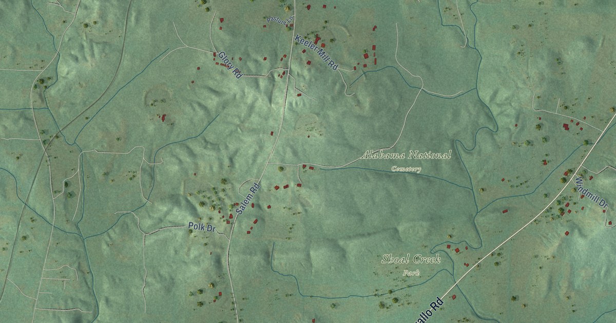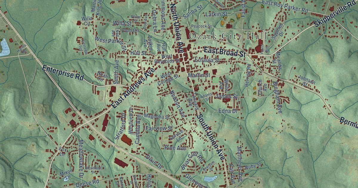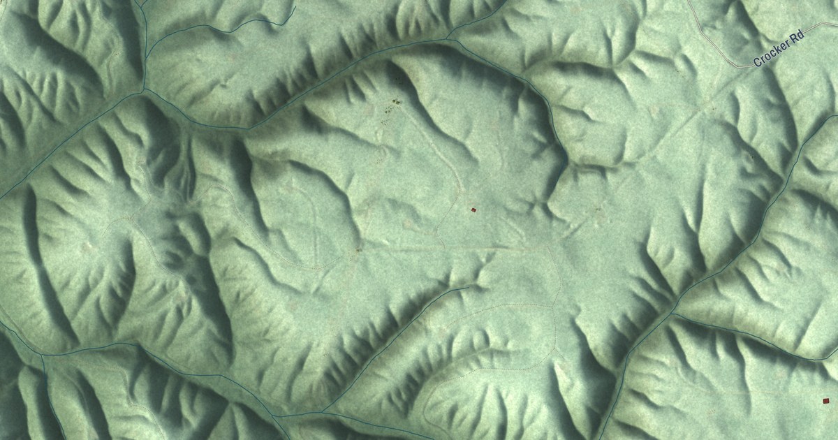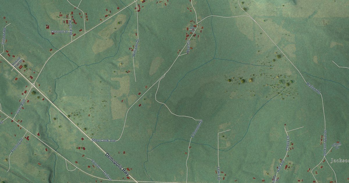
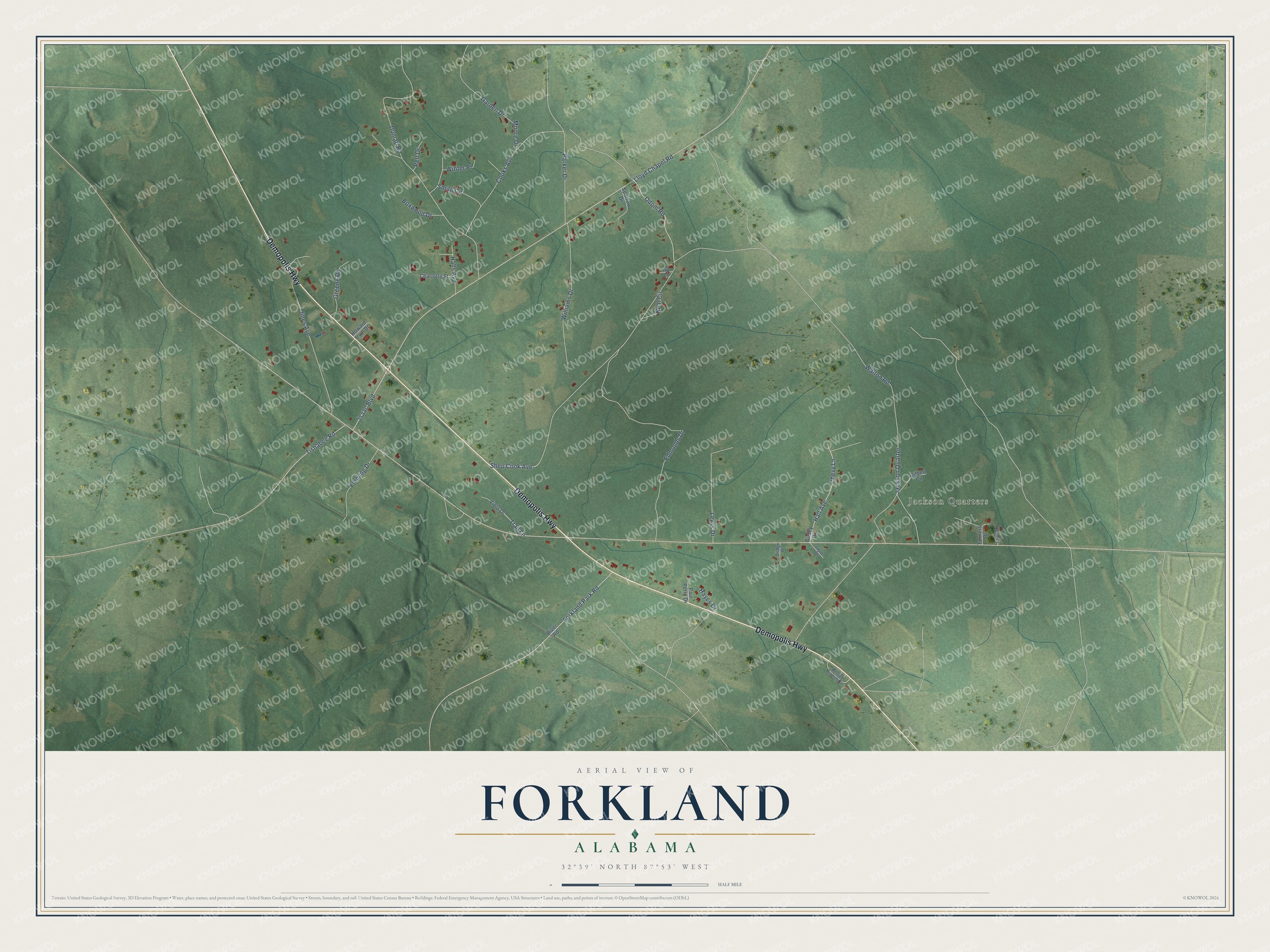
This beautifully detailed map of Forkland, Alabama was created in 2026 using aerial imagery combined with modern topographical, census, street and landmark data. It's a modern aerial view of Forkland in Greene County, Alabama, that combines modern data with a vintage aesthetic. The roads feature printed names, and if you look closely you can find your exact house accurately shown in its correct location.
Explore an aerial view of Forkland, Alabama
On this map you'll find Jackson Quarters, Demopolis Highway, Lloyd Chapel Road, Shep Cook Avenue, Dunlap Road, Jackson Quarter, Cooks Avenue, Odom Road, Jines Avenue, Williams Drive, Hall Avenue, Edmonds Drive, and more. Each red shape is a building, so zoom in on the preview and look for yours.
Forkland has a story worth telling. The record at encyclopediaofalabama.org puts it this way: "The building was designed by the English architect Richard Upjohn (who also designed Trinity Episcopal Church in New York City) and constructed in 1859 to honor John Avery, the first rector, who died in 1837."
Forkland is a town in Greene County. The Census Bureau counted 445 people here in 2020.
Take a closer look at the Forkland map
Names on this map
These names are printed on this map.
Places: Jackson Quarters.
Streets and roads: Demopolis Highway, Lloyd Chapel Road, Shep Cook Avenue, Dunlap Road, Jackson Quarter, Cooks Avenue, Odom Road, Jines Avenue, Williams Drive, Hall Avenue, Edmonds Drive, Chevy Lane.
More street names, A to Z
Boxwood Drive, Charlotte Street, Dodge Drive, Fleming Drive, Forkland Park Road, Garden Drive, Gilbert Circle, Greene Road, Gulley Drive, Halls Avenue, Hayes Drive, Howard Irvin Drive, Isaac Boulevard, Ivy Lane, Jaylon Drive, Lewis Drive, Moore Drive, Neal Circle, Parker Drive, Paul Perry Drive, Pelt Drive, Pen Circle, River Road, Smith Circle, Sparrow Drive, Tishabee Road, Trail Lane, Turners Drive, Viola Drive, Walton Road, William Branch Circle, Winter Place.
Created by KNOWOL in 2026. The buildings are small red shapes, the roads carry their printed names, and shaded relief shows the shape of the land. The title panel reads "AERIAL VIEW OF FORKLAND ALABAMA" with 32°39' NORTH 87°53' WEST.
It looks right in a kitchen, an office or a den, and it's a gift for anyone who grew up in Forkland or moved away. Open the preview and find your street. See sizes and frames for the Forkland map.