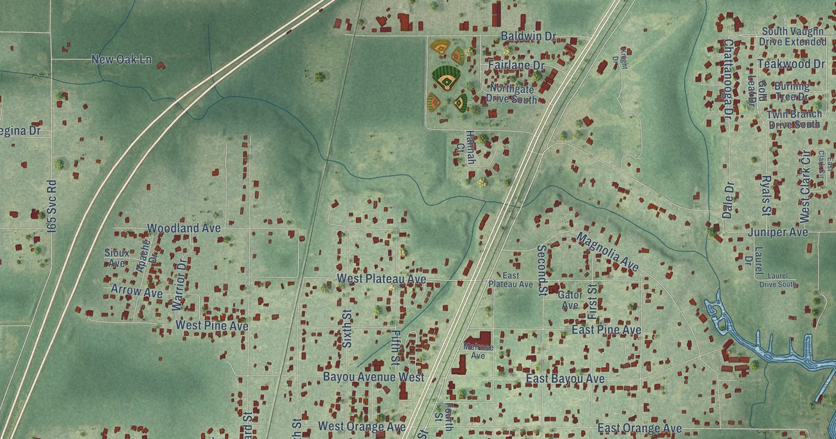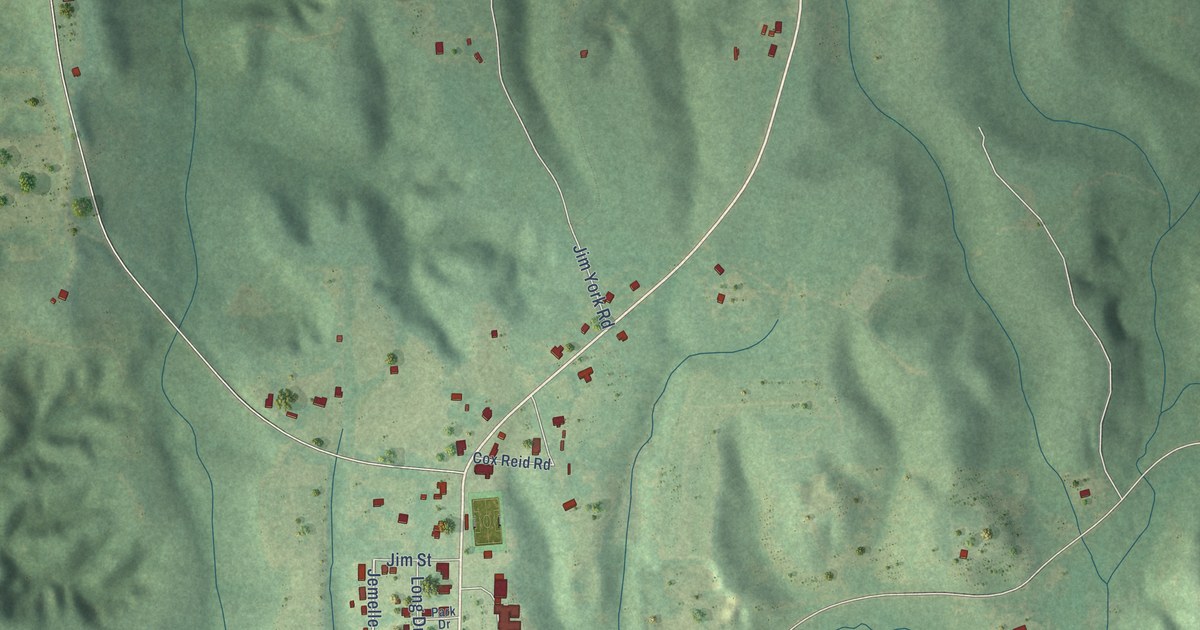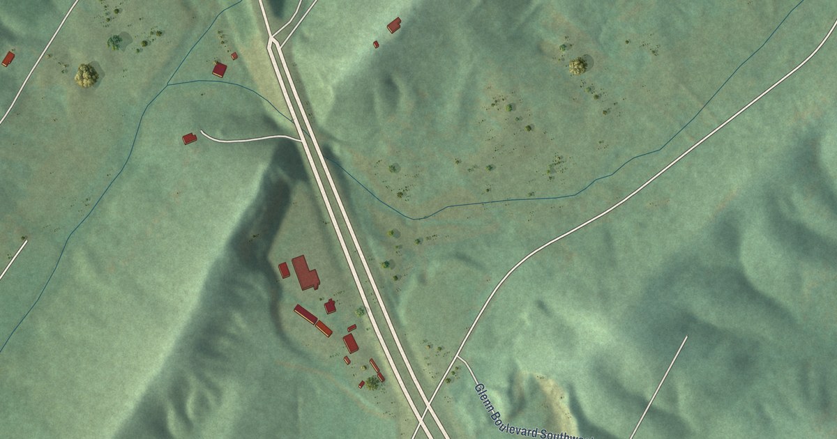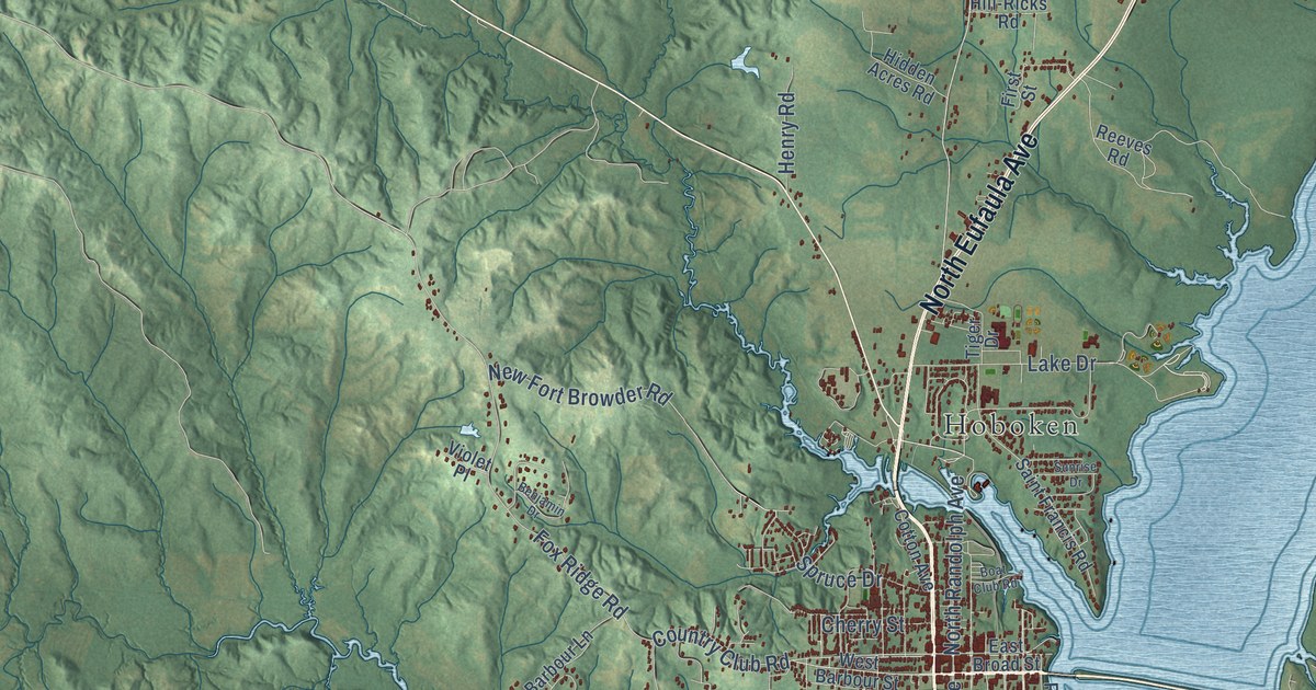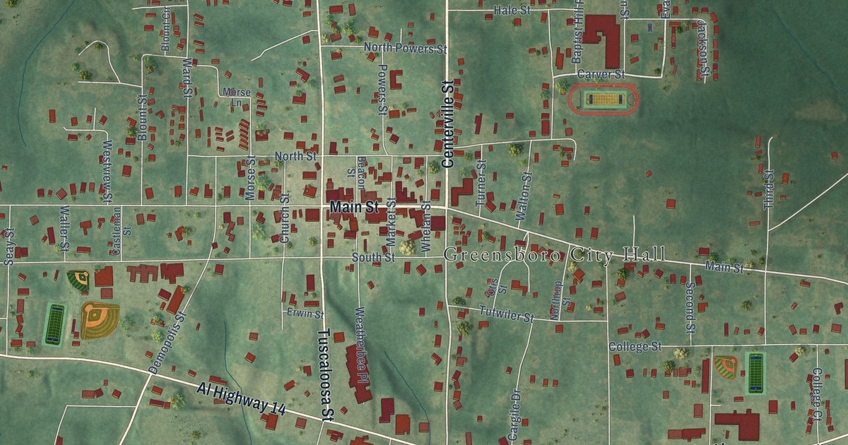
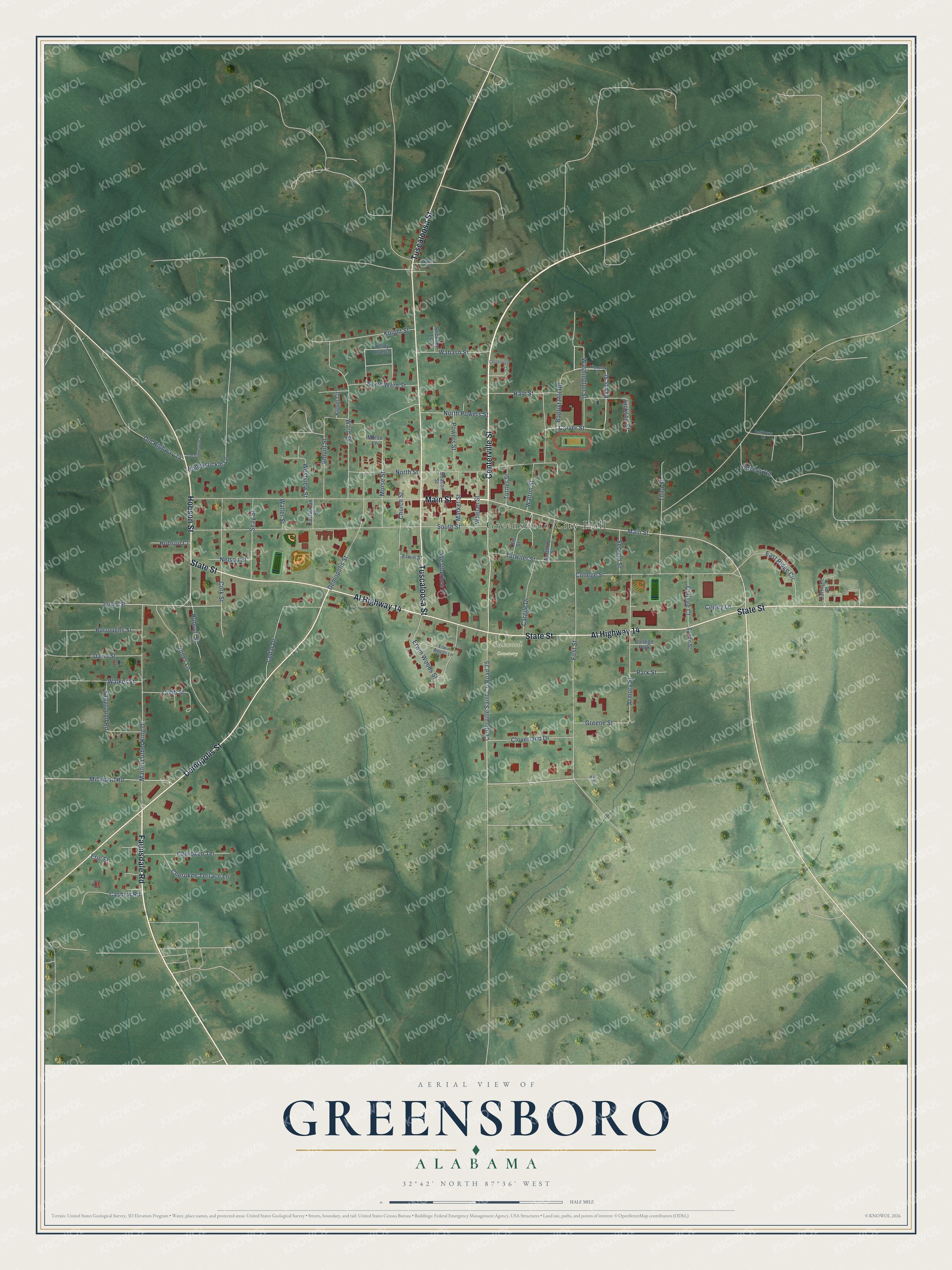
This beautifully detailed map of Greensboro, Alabama was created in 2026 using aerial imagery combined with modern topographical, census, street and landmark data. It's a modern aerial view of Greensboro in Hale County, Alabama, that combines modern data with a vintage aesthetic. The roads feature printed names, and if you look closely you can find your exact house accurately shown in its correct location.
Explore an aerial view of Greensboro, Alabama
On this map you'll find Greensboro City Hall, Oakwood Cemetery, Centerville Street, Main Street, Faunsdale Road, Al Highway 14, State Street, Tuscaloosa Street, Demopolis Street, Hobson Street, Centerville Saint Co Road 25, Carver Street, and more. Each red shape is a building, so zoom in on the preview and look for yours.
Every town has a first chapter, and Greensboro is no exception. The record at encyclopediaofalabama.org puts it this way: "The first homesteaders of the area that would become Greensboro were the Russell family, and the community was first known as Russell Settlement."
Greensboro is a city in Hale County. The Census Bureau counted 2,218 people here in 2020.
Take a closer look at the Greensboro map
Names on this map
These names are printed on this map.
Places: Greensboro City Hall, Oakwood Cemetery and College Park.
Streets and roads: Centerville Street, Main Street, Faunsdale Road, Al Highway 14, State Street, Tuscaloosa Street, Demopolis Street, Hobson Street, Centerville Saint County Road 25, Carver Street, Evans Street, Washington Street.
More street names, A to Z
Armory Street, Baptist Hill Road, Beacon Street, Bellflower Lane, Beverly Road, Blount Circle, Blount Street, Burroughs Street, Cargile Drive, Carriage Place, Cashew Road, Castleman Street, Cedar Drive, Centerville Circle, Cherokee Terrace, Cherokee Terrace Lane, Church Street, Cloverland Drive, Cobb Street, College Court, College Street, Cork Street, Corley Lane, Davis Street, East Ridge Circle, Eric Street, Erwin Street, Erwin Woods Lane, Erwin Woods Street, Fairground Road, First Street, Greene Street, Hale Street, Hall Street, Hobson Court, Honeysuckle Lane, Jackson Street, Jones Lane, Jones Street, Kilpatrick Street, Knight Street, Market Street, Martin Luther King Drive, Millwood Road, Morse Lane, Morse Street, Nelson Street, North Powers Street, Northrup Street, North Street, North Ward Street, Old Highway 14, Old Sawyerville Road, Otis Street, Park Street, Powers Street, Seay Street, Second Street, South Street, Spann Street, Stickney Lane, Third Street, Turner Street, Tutwiler Street, Wabash Street, Walker Street, Waller Street, Walton Street, Ward Street, Weatherbee Place, Westview Street, Whelan Street, Wynn Street, Yerby Branch.
Created by KNOWOL in 2026. The buildings are small red shapes, the roads carry their printed names, and shaded relief shows the shape of the land. The title panel reads "AERIAL VIEW OF GREENSBORO ALABAMA" with 32°42' NORTH 87°36' WEST.
Hang it in the hallway, the office or the cabin, or give it to someone who left Greensboro and still calls it home. Open the preview and look for a street you know. See sizes and frames for the Greensboro map.