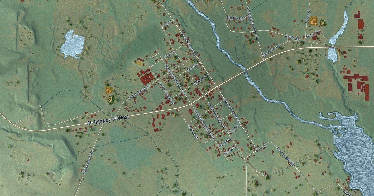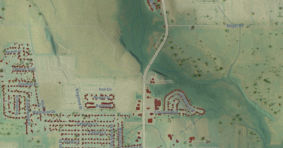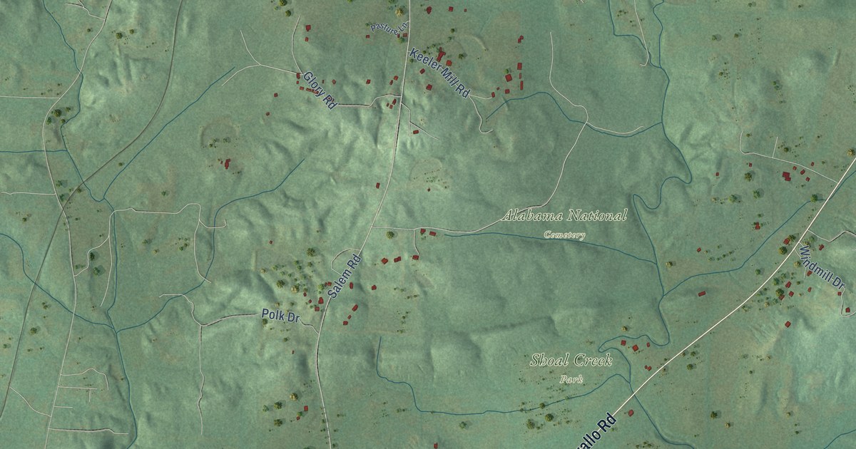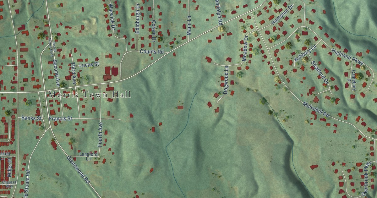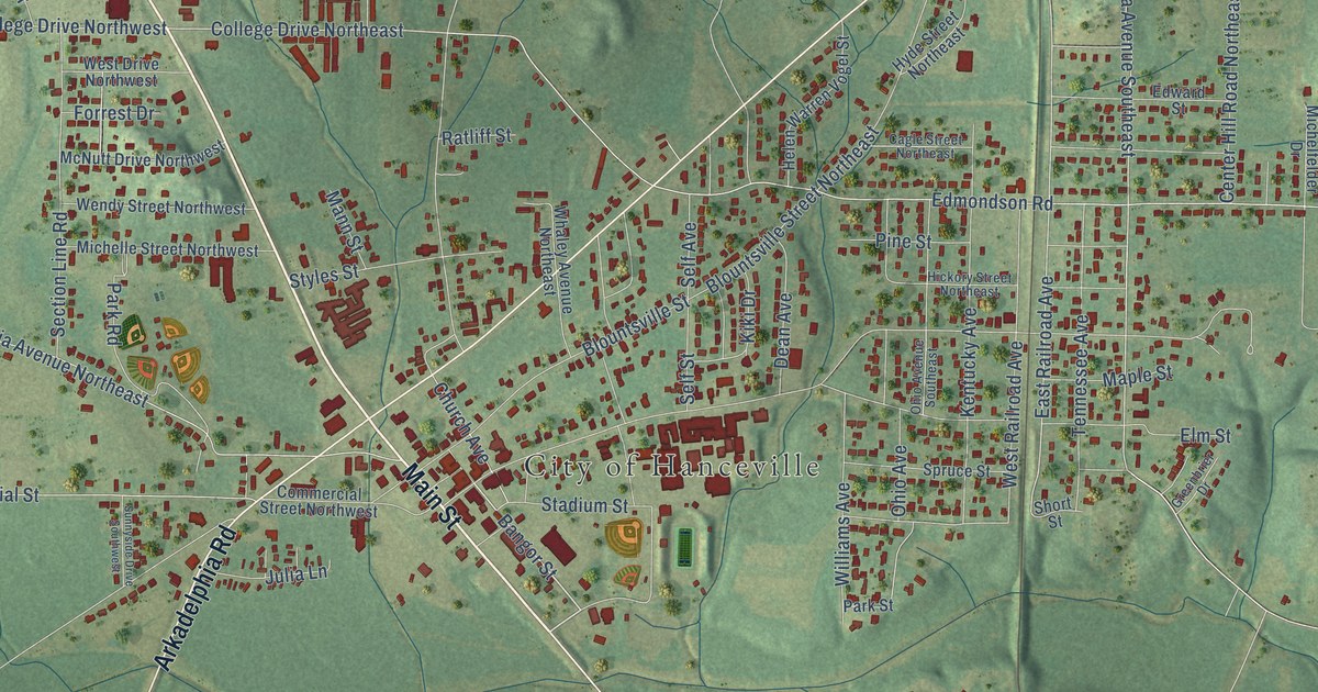
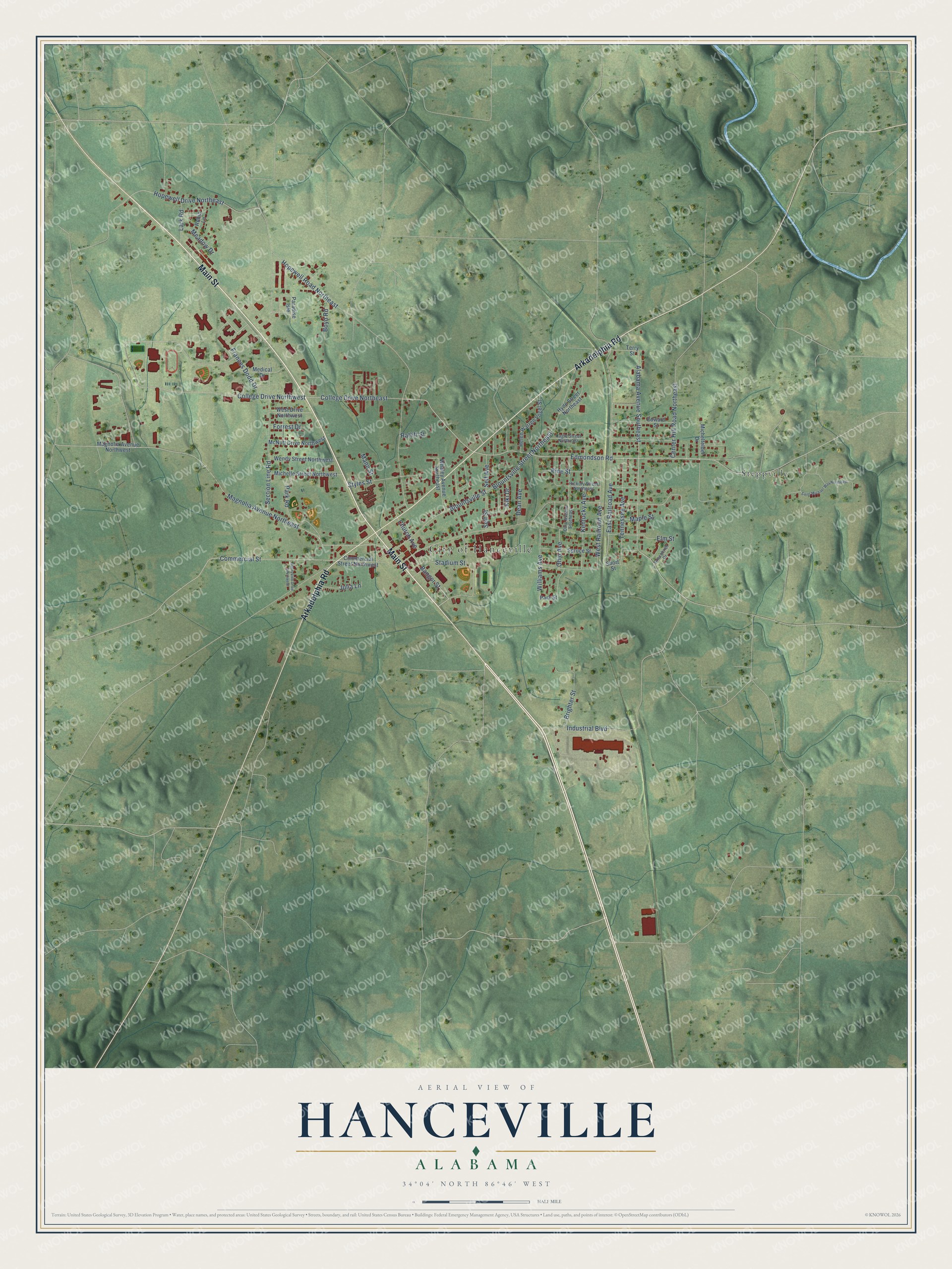
This beautifully detailed map of Hanceville, Alabama was created in 2026 using aerial imagery combined with modern topographical, census, street and landmark data. It's a modern aerial view of Hanceville in Cullman County, Alabama, that combines modern data with a vintage aesthetic. The roads feature printed names, and if you look closely you can find your exact house accurately shown in its correct location.
Explore an aerial view of Hanceville, Alabama
On this map you'll find City of Hanceville, Steppville, Main Street, Arkadelphia Road, Bangor Street, Edmondson Road, Alabama Avenue Southeast, College Drive Northeast, College Drive Northwest, East Railroad Avenue, Ohio Avenue, Hopewell Road Northeast, and more. Each red shape is a building, so zoom in on the preview and look for yours.
Every town has a first chapter, and Hanceville is no exception. The record at encyclopediaofalabama.org puts it this way: "Shrine of the Most Blessed Sacrament The Hanceville area was first settled in the 1820s by settlers from South Carolina and Virginia and was located in Blount County when it was created in 1832."
Hanceville is a city in Cullman County. The Census Bureau counted 3,217 people here in 2020.
Take a closer look at the Hanceville map
Names on this map
These names are printed on this map.
Places: City of Hanceville and Steppville.
Streets and roads: Main Street, Arkadelphia Road, Bangor Street, Edmondson Road, Alabama Avenue Southeast, College Drive Northeast, College Drive Northwest, East Railroad Avenue, Ohio Avenue, Hopewell Road Northeast, Section Line Road, Magnolia Avenue Northeast.
More street names, A to Z
Blountsville Street, Blountsville Street Northeast, Boyd Road, Brighter Street, Cagle Street Northeast, Center Hill Road Northeast, Church Avenue, Commercial Street, Commercial Street Northwest, Dean Avenue, Edward Street, Elm Street, Forrest Drive, Frances Dodd Drive, Greenbrier Drive, Helen Warren Vogel Street, Hickory Street Northeast, Hopewell Drive Northeast, Hyde Street Northeast, Industrial Boulevard, Julia Lane, Kentucky Avenue, Kiki Drive, Lark Road, Magnolia Avenue Northwest, Mann Street, Maple Street, McNutt Drive Northwest, Meadow Drive, Medical Drive, Michelfelder Drive, Michelle Street Northwest, Ohio Avenue Southeast, Paradise Isle, Park Road, Park Street, Pine Street, Ratliff Street, Robin Lane, Saint Michael Way Northeast, Self Avenue, Self Street, Short Street, Spruce Street, Stadium Street, Styles Street, Sunnyside Drive Southwest, Tennessee Avenue, Terry Street, Wendy Street Northwest, West Drive Northwest, West Railroad Avenue, Whaley Avenue Northeast, Williams Avenue.
Created by KNOWOL in 2026. The buildings are small red shapes, the roads carry their printed names, and shaded relief shows the shape of the land. The title panel reads "AERIAL VIEW OF HANCEVILLE ALABAMA" with 34°04' NORTH 86°46' WEST.
Hang it in the hallway, the office or the cabin, or give it to someone who left Hanceville and still calls it home. Open the preview and look for a street you know. See sizes and frames for the Hanceville map.