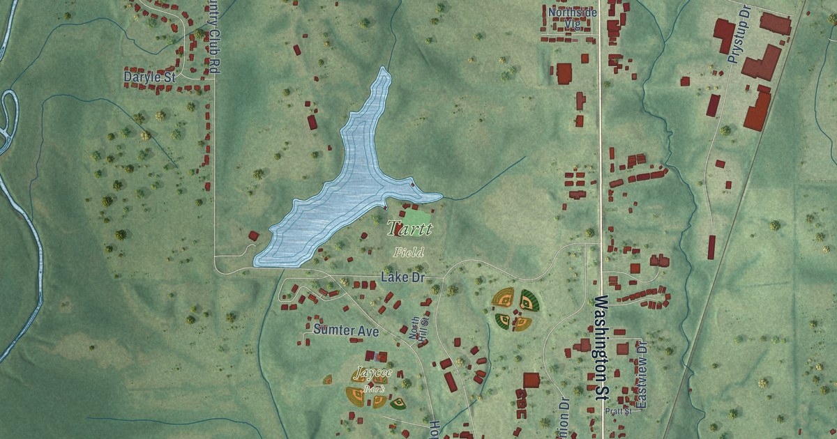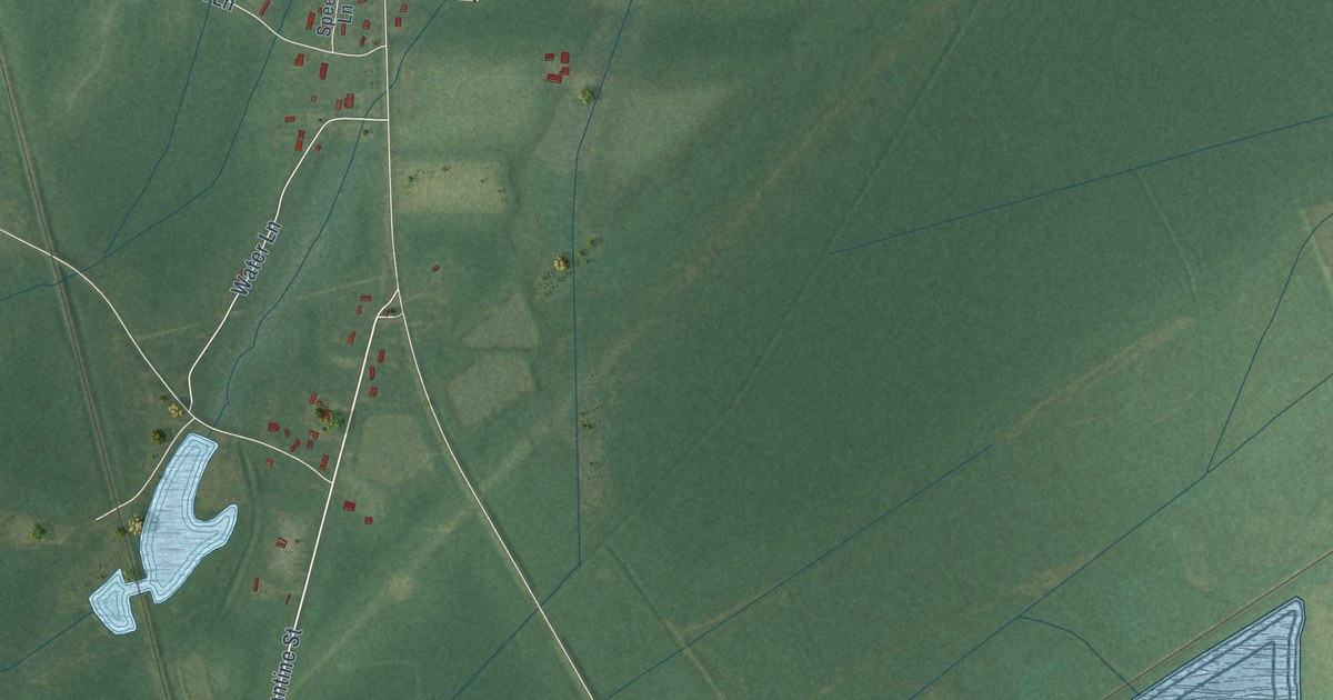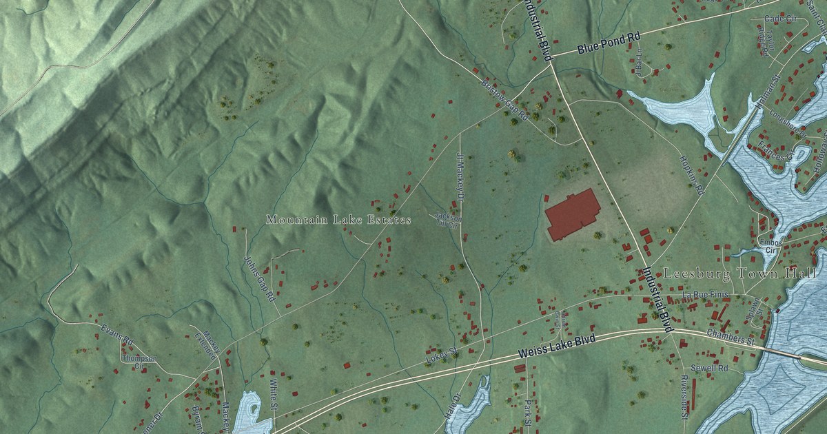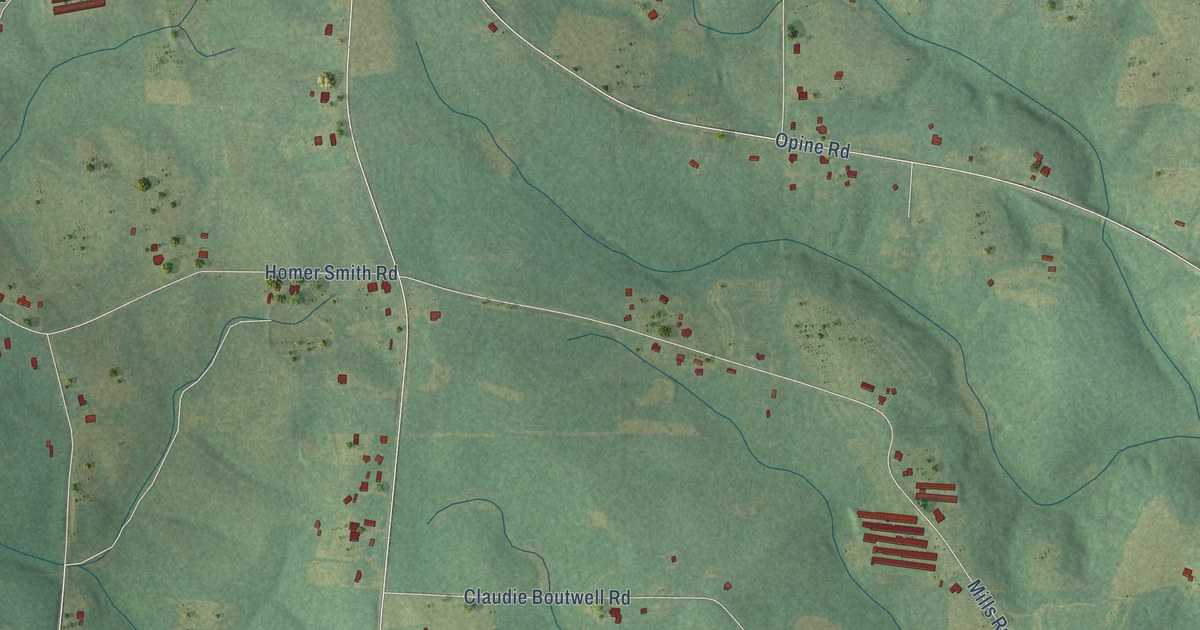
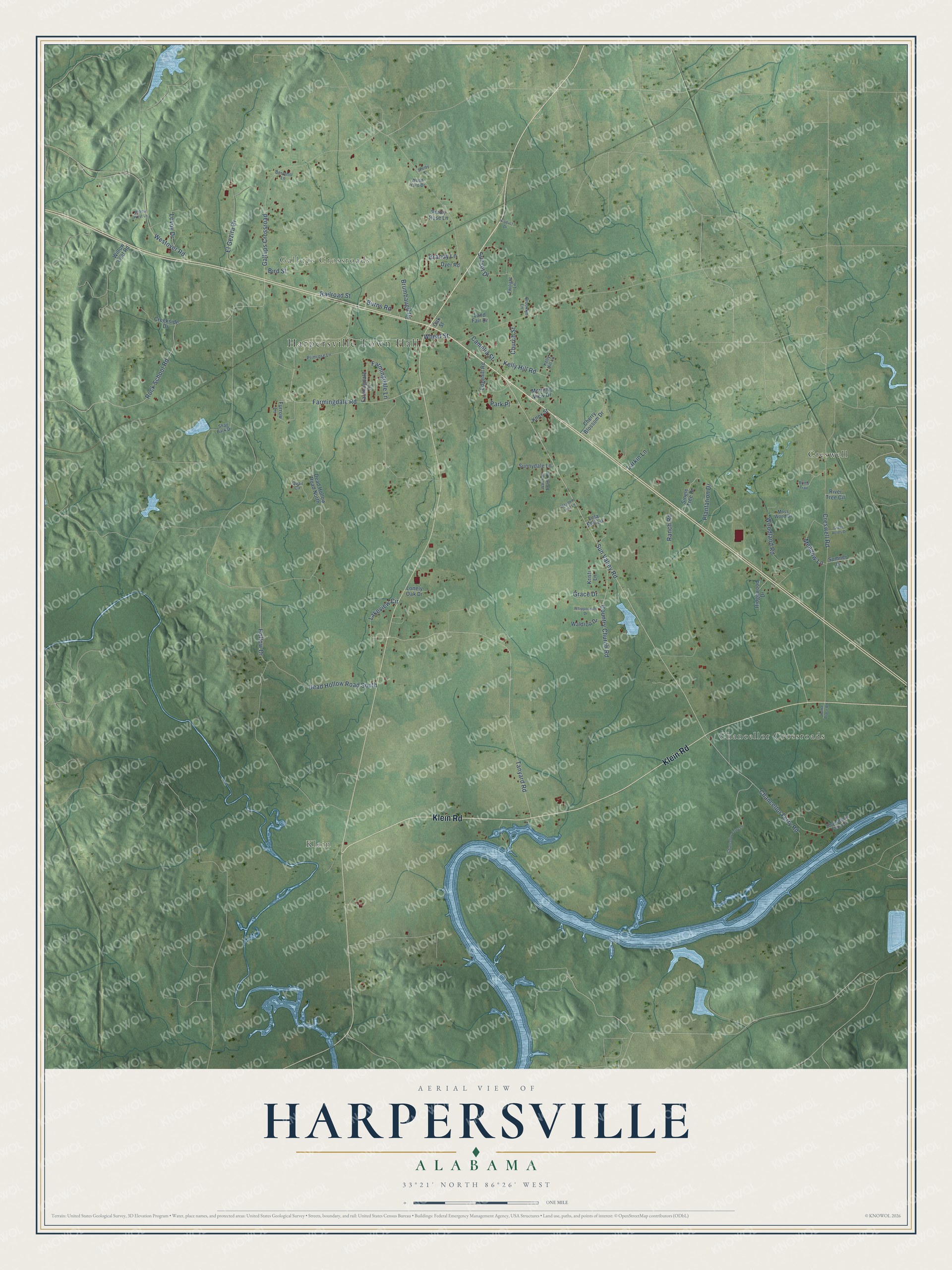
This beautifully detailed map of Harpersville, Alabama was created in 2026 using aerial imagery combined with modern topographical, census, street and landmark data. It's a modern aerial view of Harpersville in Shelby County, Alabama, that combines modern data with a vintage aesthetic. The roads feature printed names, and if you look closely you can find your exact house accurately shown in its correct location.
Explore an aerial view of Harpersville, Alabama
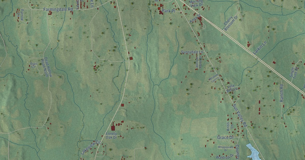
On this map you'll find Harpersville Town Hall, Klein, Gallups Crossroads, Chancellor Crossroads, Creswell, Klein Road, Sun Valley Road, Chancellor Ferry Road, Hollow Drive, Tanyard Road, Farmingdale Road, Rock School Road, and more. Each red shape is a building, so zoom in on the preview and look for yours.
Every town has a first chapter, and Harpersville is no exception. The record at encyclopediaofalabama.org puts it this way: "Walthall, stage and silent screen star, was born in Harpersville, as was William Joseph Simmons, who had a leading role in reviving the Ku Klux Klan in 1915."
Harpersville is a town in Shelby County. The Census Bureau counted 1,614 people here in 2020.
Take a closer look at the Harpersville map
Names on this map
These names are printed on this map.
Places: Harpersville Town Hall, Klein, Gallups Crossroads, Chancellor Crossroads and Creswell.
Streets and roads: Klein Road, Sun Valley Road, Chancellor Ferry Road, Hollow Drive, Tanyard Road, Farmingdale Road, Rock School Road, Creswell Road, Gallups Crossroad, Dead Hollow Road South, El Gezira Drive, Plantation Drive.
More street names, A to Z
Berryhill Lane, Bird Street, Brandy Lane, Bridle Trail, Brooklyn Lane, Brumbaugh Drive, Burns Road, Camelia Street, Chancellor Ferry Lane, Chancellors Ferry Cv, Cherry Blossom Drive, Church Street, Country Church Road, Creekside Drive, Dead Hollow Road North, Dyer Road, Edgehill Road, Farmingdale Drive, Farmingdale Lane, Furrow Lane, Grace Drive, Green Acres Drive, Home Place Road, Kelly Hill Lane, Kelly Hill Road, Knox Street, Kristi Lane, Lakeview Circle, Land Fair Drive, Larkin Lane, Lela Bell Lane, Lonely Oak Drive, Lovoy Drive, Meadow Lane, Meadow Leaf Lane, Morning View Drive, Moss Wood Drive, Oak Street, Park Place, Prairy Rose Lane, Primrose Lane, Quail Circle, Railroad Street, Ranch Road, Ridgewood Drive, River Tree Circle, Shag Bark Drive, Shelby Street, Single Tree Drive, Sumner Lane, Sunnydale Lane, Sunset Drive, Twilight Lane, Viaduct Drive, Waldrop Drive, Walt Hall Swamp Road, Westover Road, Wheat Street, Whippoorwill Drive, Willow Leaf Road, Willow West Lane, Woodland Road, Wood Yard Drive.
Created by KNOWOL in 2026. The buildings are small red shapes, the roads carry their printed names, and shaded relief shows the shape of the land. The title panel reads "AERIAL VIEW OF HARPERSVILLE ALABAMA" with 33°21' NORTH 86°26' WEST.
Hang it in the hallway, the office or the cabin, or give it to someone who left Harpersville and still calls it home. Open the preview and look for a street you know. See sizes and frames for the Harpersville map.