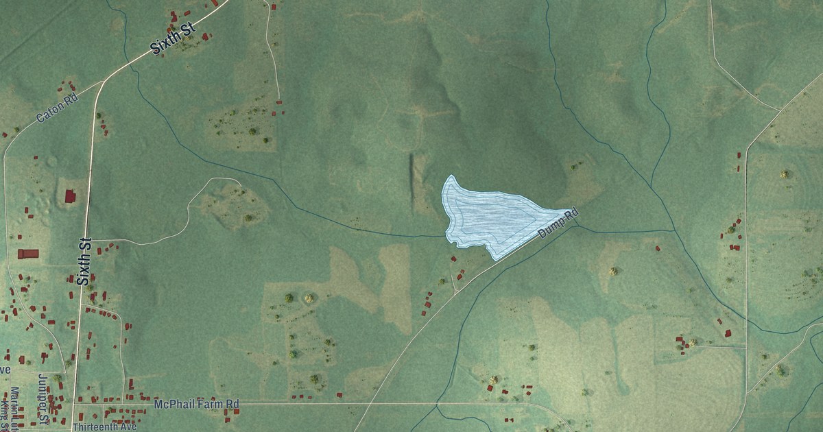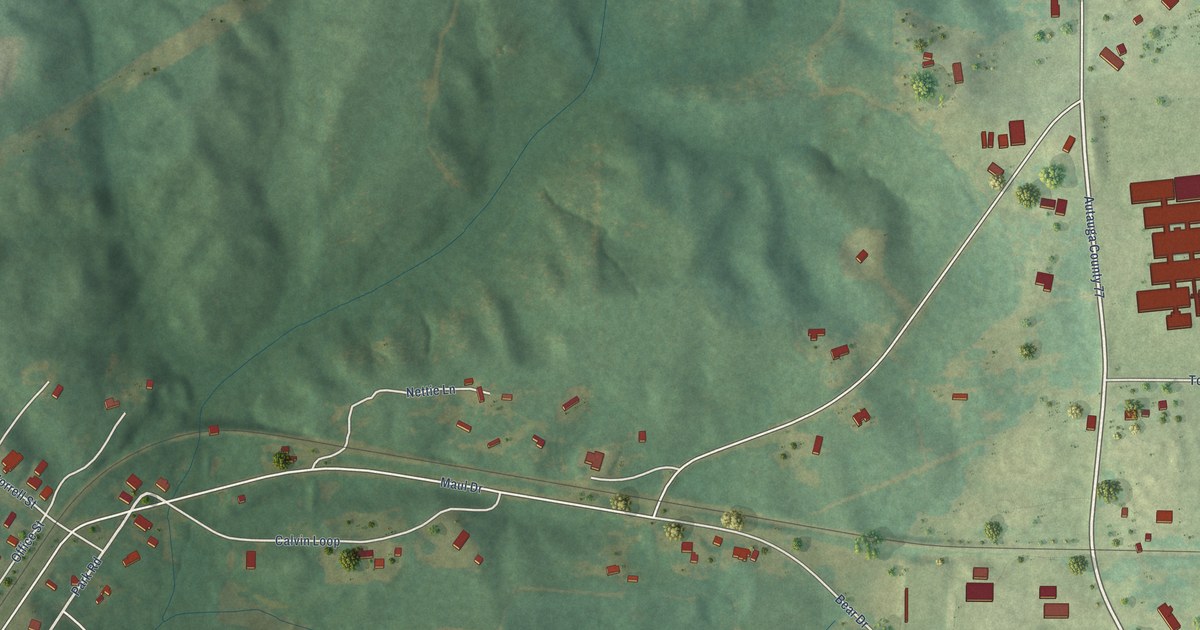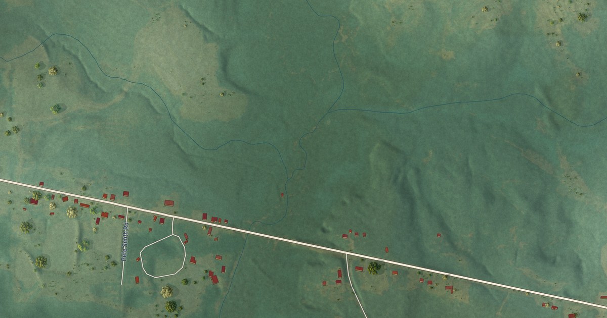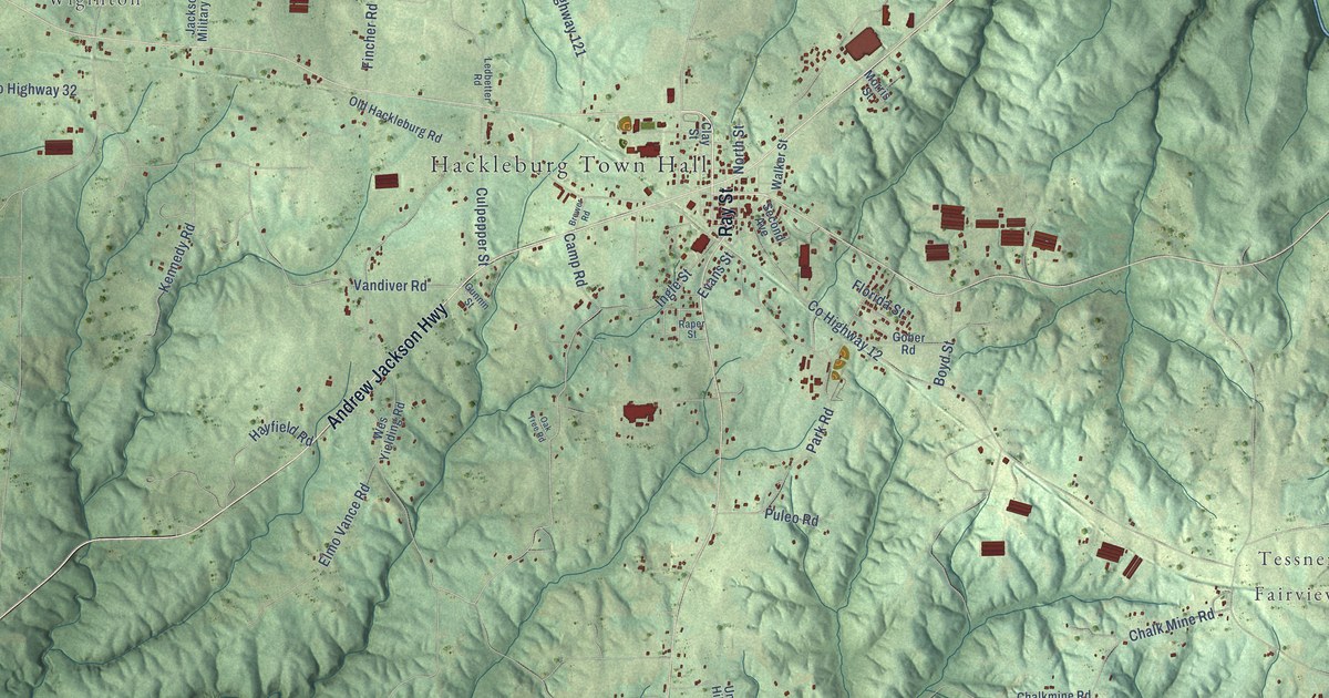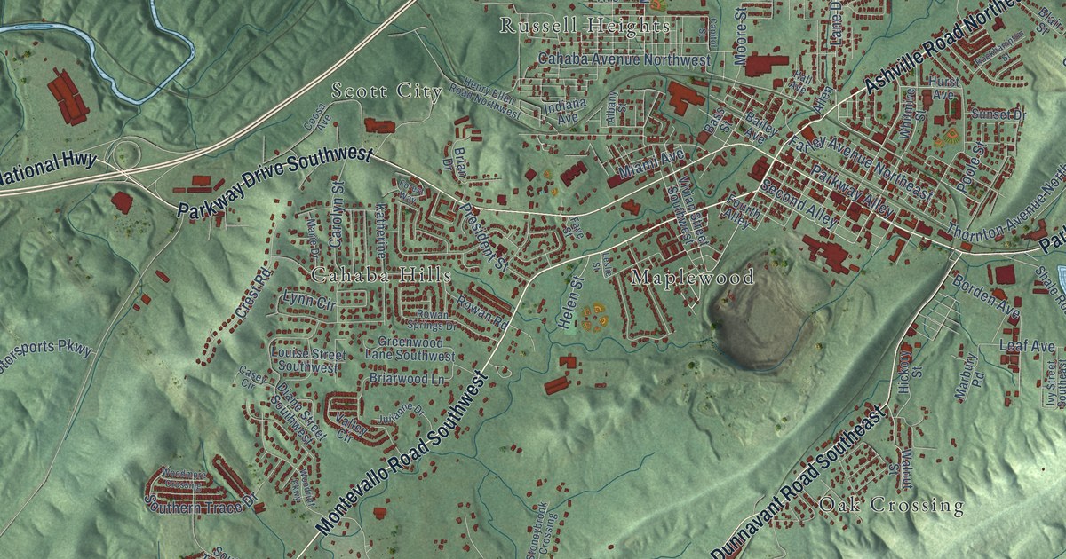
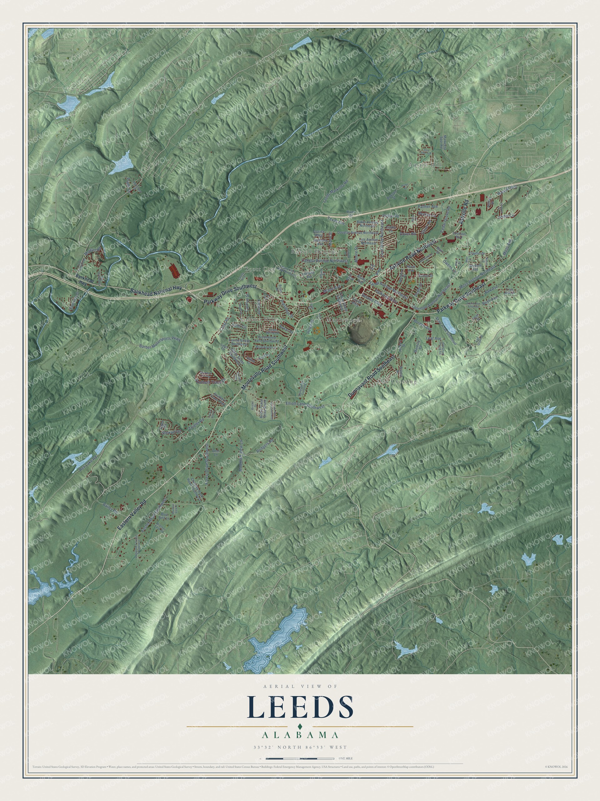
This beautifully detailed map of Leeds, Alabama was created in 2026 using aerial imagery combined with modern topographical, census, street and landmark data. It's a modern aerial view of Leeds in Jefferson County, Alabama, that combines modern data with a vintage aesthetic. The roads feature printed names, and if you look closely you can find your exact house accurately shown in its correct location.
Explore an aerial view of Leeds, Alabama
On this map you'll find Austin Hill, Cahaba Hills, Maplewood, Oak Crossing, Russell Heights, Scott City, Ashville Road Northeast, Ashville Road, Montevallo Road Southwest, Eastern Valley Road, Parkway Drive Southwest, Parkway Drive Southeast, and more. Each red shape is a building, so zoom in on the preview and look for yours.
Every town has a first chapter, and Leeds is no exception. The record at encyclopediaofalabama.org puts it this way: "One version of the folk tale about the contest between legendary railroad worker John Henry and a steam-powered driver places it near the Leeds area in the late 1880s, whereas others say it took place in West Virginia in the 1870s."
Leeds is a city in Jefferson County. The Census Bureau counted 12,324 people here in 2020.
Take a closer look at the Leeds map
Names on this map
These names are printed on this map.
Places: Austin Hill, Cahaba Hills, Maplewood, Oak Crossing, Russell Heights and Scott City.
Streets and roads: Ashville Road Northeast, Ashville Road, Montevallo Road Southwest, Eastern Valley Road, Parkway Drive Southwest, Parkway Drive Southeast, Dunnavant Road Southeast, Bankhead National Highway, Lane Drive Northeast, Moore Street, Moss Avenue Northeast, Thornton Avenue Northeast.
More street names, A to Z
Alabama Avenue, Albany Street, Allen, Ashley Drive, Azalea Drive Southeast, Bailey Avenue, Bailey Road, Baker Avenue Northeast, Bankhead Highway, Banks Road, Barber Motorsports Parkway, Bark Avenue, Bass Street, Becker Lane, Blair Street, Blue Bird Lane, Borden Avenue, Brasher Farm Road, Brian Drive, Briarwood Lane, Bridle Trace Drive South, Bristol Drive, Bush Avenue, Cahaba Avenue Northwest, Capitol Street, Carolyn Street, Casey Circle, Cedar Grove Road, Cedar Rock Road Southwest, Chimney Rock Road Southwest, Clairmont Drive, Clarke Lane, Clayton Drive, Coosa Avenue, Country Club Drive, Courson Boulevard, Crest Road, Dawson Street, Deer Lane, Diane Street Southwest, Dogwood Terrace Southwest, Douglas Avenue Northeast, Dover Road, East Grove Street, East Riverview Drive, Elliott Lane Southwest, Farley Avenue Northeast, Faye Street, Florida Alley, Floyd Bradford Road, Forest Drive Southwest, Forest Way, Foster Road Southwest, Fourth Alley, Gary Alan Trce, Greenwood Lane Southwest, Hall Avenue, Helen Street, Henry Ellen Road Northwest, Hickory Street, Hurst Avenue, Indiana Avenue, Ivy Street Southeast, Jardin Circle, Julianne Drive, Katherine, Kelly Lane, Leaf Avenue, Leeds Marketta Road, Leslie Street, Lisa Ann Drive, Louise Street Southwest, Lyle Avenue Northeast, Lynn Circle, Marbury Road, Marie Drive, Markeeta Spur Road, Miami Avenue, Millie Street, Minor Street, Morgan Road, Moss Avenue, Moton Street, Mountain View Lane, Mountain View Place, Nichols Street, Oliver Road, Owen Road, Owens Lane, Palmer Avenue, Parkway Alley, Pear Street, Phillips Road, Poinciana Drive, Poole Street, Prado Drive, President Street, Rex Lake Road, River Drive, Riverview Drive, Rockhampton Street, Rodgers Road, Rowan Road, Rowan Springs Drive, Second Alley, Seventh Avenue, Shale Road Southeast, Southern Trace Drive, Southern Trace Parkway, Stewart Road, Stoneybrook Crossing, Sunset Drive, Texas Avenue, Valley Circle, Vivian Street Southwest, Walnut Street, Weaver Avenue, Whitmire Street, Woodmere Crossing, Woodruff Parkway, Zeigler Road.
Created by KNOWOL in 2026. The buildings are small red shapes, the roads carry their printed names, and shaded relief shows the shape of the land. The title panel reads "AERIAL VIEW OF LEEDS ALABAMA" with 33°32' NORTH 86°33' WEST.
Hang it in the hallway, the office or the cabin, or give it to someone who left Leeds and still calls it home. Open the preview and look for a street you know. See sizes and frames for the Leeds map.