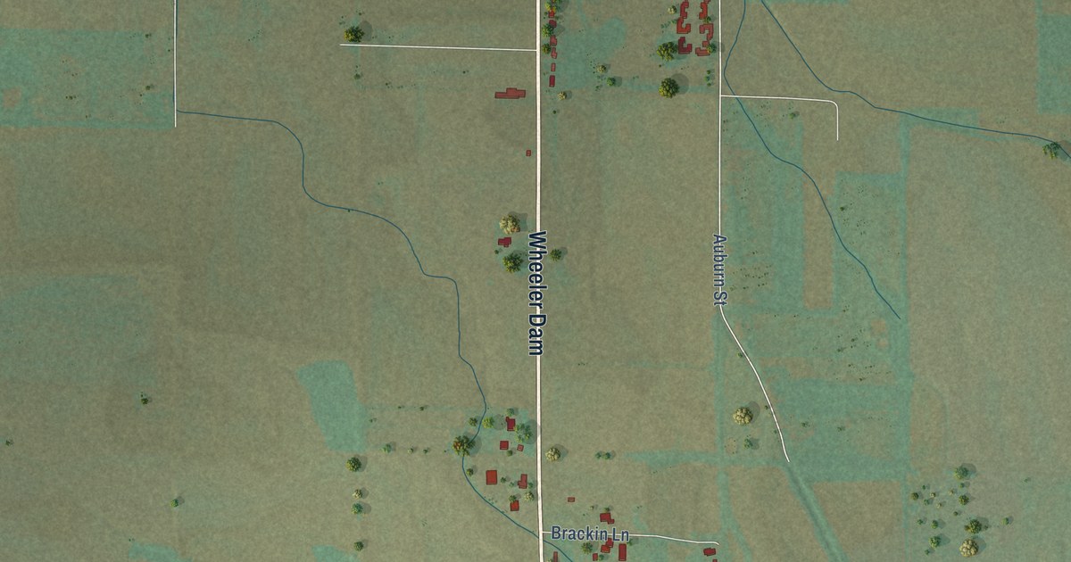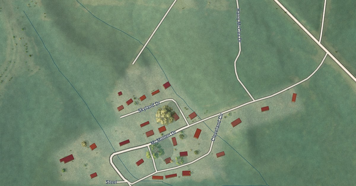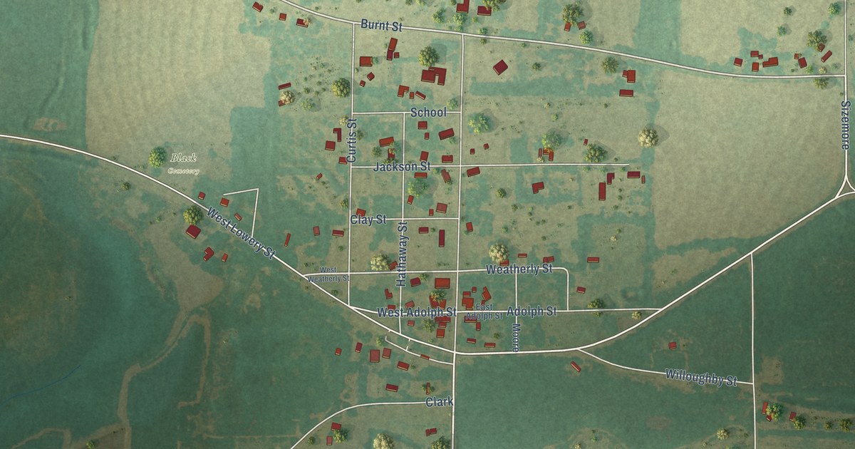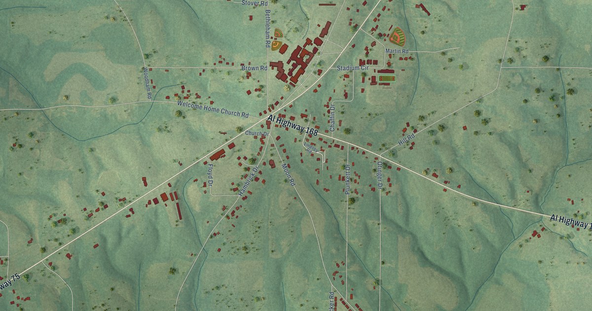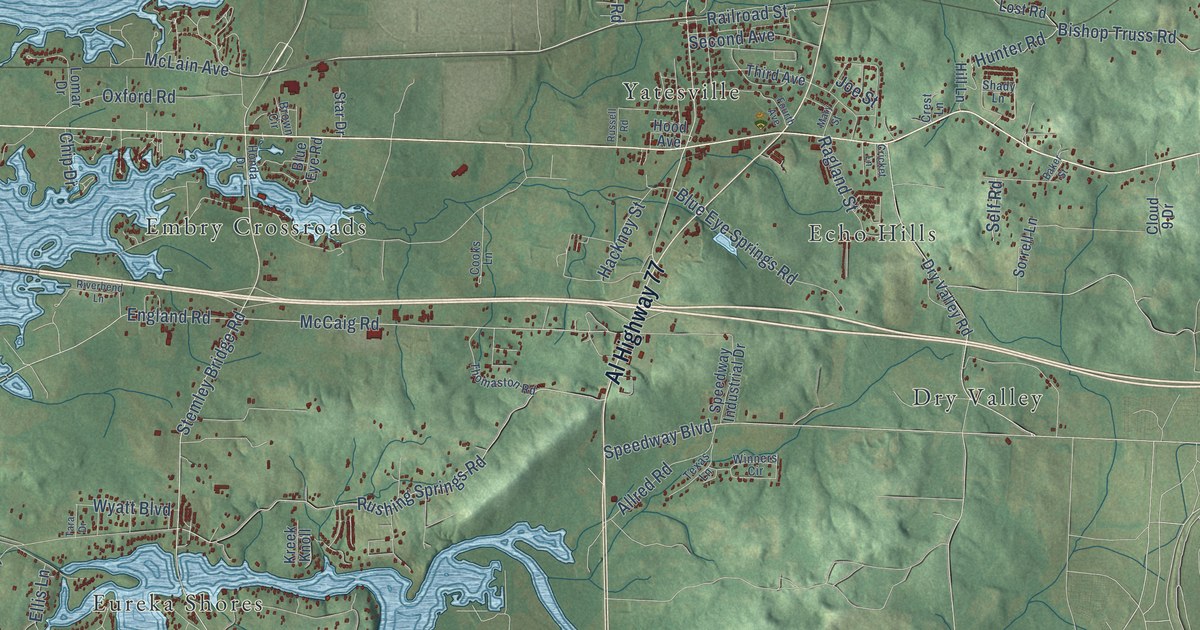
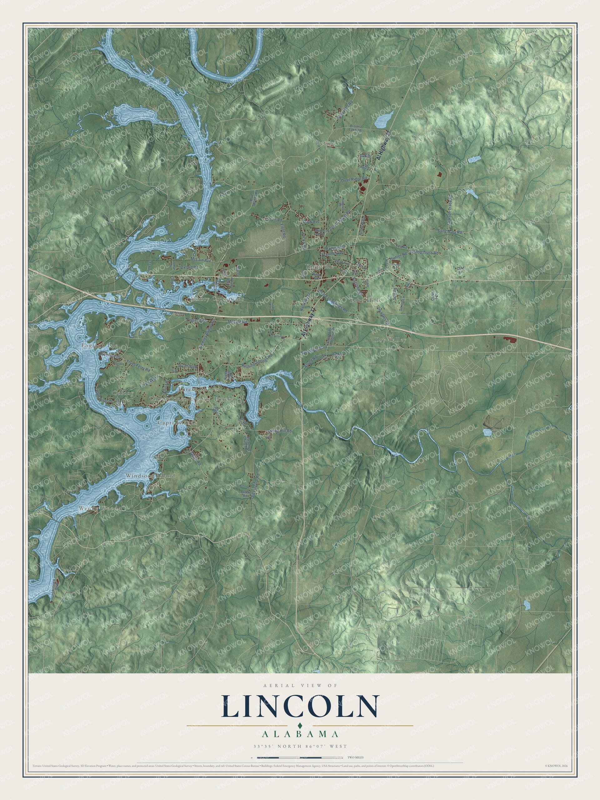
This beautifully detailed map of Lincoln, Alabama was created in 2026 using aerial imagery combined with modern topographical, census, street and landmark data. It's a modern aerial view of Lincoln in Talladega County, Alabama, that combines modern data with a vintage aesthetic. The roads feature printed names, and if you look closely you can find your exact house accurately shown in its correct location.
Explore an aerial view of Lincoln, Alabama
On this map you'll find Wendy Wood, Capri Islands, Choccolocco Estates, Colony, Dry Valley, Echo Hills, Embry Crossroads, England Isle, Eureka, Eureka Shores, Refuge, Windsong Island, and more. Each red shape is a building, so zoom in on the preview and look for yours.
Lincoln has a story worth telling. The record at encyclopediaofalabama.org puts it this way: "The area in which Lincoln was settled was first noted by Andrew Jackson's men during the Creek War of 1813-14 for its ample water supply, given its location on the Coosa River , and fertile soils."
Lincoln is a city in Talladega County. The Census Bureau counted 6,845 people here in 2020.
Take a closer look at the Lincoln map
Names on this map
These names are printed on this map.
Places: Wendy Wood, Capri Islands, Choccolocco Estates, Colony, Dry Valley, Echo Hills, Embry Crossroads, England Isle, Eureka, Eureka Shores, Refuge, Windsong Island and Yatesville.
Streets and roads: Al Highway 77, McLain Avenue, Saint Mary Road, Stemley Bridge Road, Patton Chapel Road, Holly Hills Road, Lock 4 Road, Rushing Springs Road, Jackson Trace Road, Eureka Road, McCaig Road, Spring Hill Road.
More street names, A to Z
Allred Road, Baker Street, Bishop Truss Road, Blue Eye Road, Blue Eye Springs Road, Blue River Drive, Blue Springs Road, Brock Road, Brooks Lake Road, Brown Circle, Chip Drive, Clint Lane, Cloud 9 Drive, Colvin Road, Cooks Lane, Crest Lane, Cricket Lane, Drew Avenue, Dry Valley Road, Ellis Lane, England Road, Field Road, Fourth Avenue, Glade Road, Hackney Street, Henderson Road, Hill Lane, Honda Drive, Hood Avenue, Hunter Road, Indian Acres, Joe Street, Korreckt Avenue, Kreek Knoll, Lakeview Boulevard, Lindsay Lane, Lomar Drive, Lost Road, Maple Leaf Drive, Mary Street, Mazella Lane, Oak Drive, Oak Forest Circle, Old Lincoln Road, Overlook Circle, Oxford Road, Quail Ridge Road, Ragland Street, Railroad Street, Riverbay Drive, Riverbend Lane, River Run Lane, Russell Road, Second Avenue, Self Road, Shady Lane, Shelton Shores Drive, Sorrell Lane, Speedway Boulevard, Speedway Industrial Drive, Star Drive, Stines Lane, Sycamore Church Road, Tara Drive, Texas Lane, Third Avenue, Thomaston Road, Tripp Drive, Truss Ferry Road, Tucker Road, Winners Circle, Wyatt Boulevard.
Created by KNOWOL in 2026. The buildings are small red shapes, the roads carry their printed names, and shaded relief shows the shape of the land. The title panel reads "AERIAL VIEW OF LINCOLN ALABAMA" with 33°35' NORTH 86°07' WEST.
It looks right in a kitchen, an office or a den, and it's a gift for anyone who grew up in Lincoln or moved away. Open the preview and find your street. See sizes and frames for the Lincoln map.