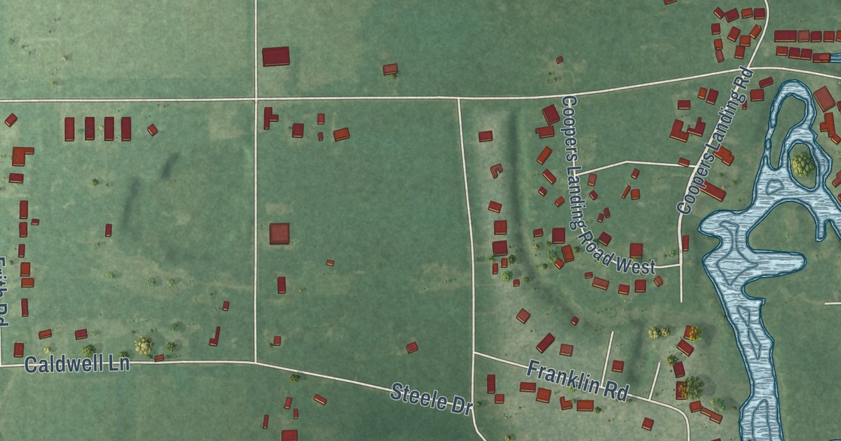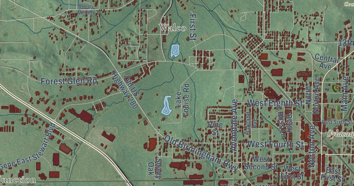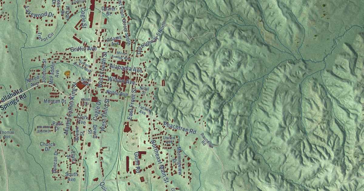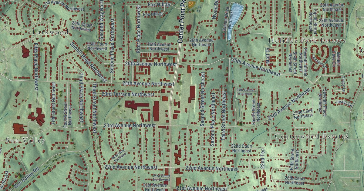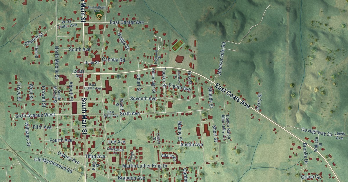
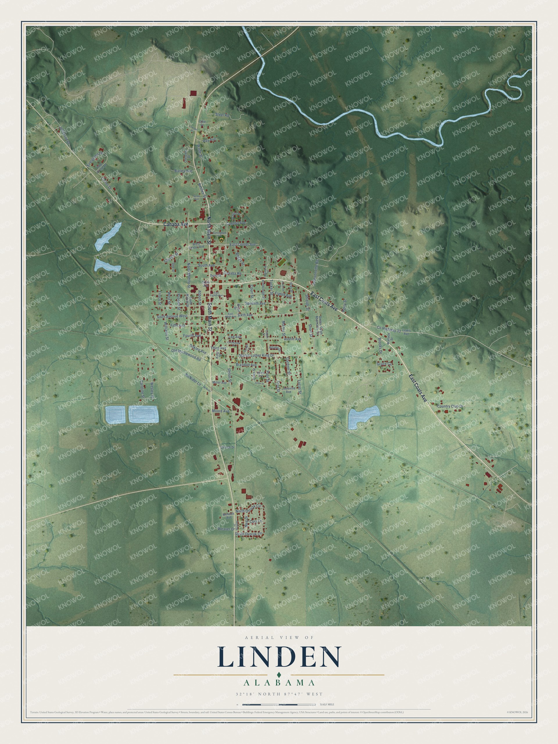
This beautifully detailed map of Linden, Alabama was created in 2026 using aerial imagery combined with modern topographical, census, street and landmark data. It’s a one-of-a-kind view of Linden that combines accurate data with a vintage aesthetic. The map shows every building in its true location, many of the roads carry their names, and the shaded topographic relief shows the shape of the land.
Explore an aerial view of Linden, Alabama
On the map you’ll find East Coats Avenue, Cahaba Avenue, North Main Street, South Main Street, Sixth Avenue West, Sixth Avenue, East Center Avenue, Seventh Avenue, Shiloh Street, Martin Luther King Drive, North Mobile Street, Old Myrtlewood Road, and more. If you look closely you can even find your house accurately drawn in its correct location. Zoom in on the preview to look for yours.
Did you know this piece of Linden, Alabama history?
Early settlers called the place Screamersville because wild animals cried out at night. In 1823 it was renamed Hohenlinden to honor French Bonapartist refugees of the Vine and Olive Colony. The name recalled an 1800 French victory over Austria and Bavaria at Hohenlinden. Later the name was shortened to Linden.
Take a closer look at the Linden map
Street names on the Linden, Alabama map
These names are printed on the map of Linden, Alabama.
Streets and roads: East Coats Avenue, Cahaba Avenue, North Main Street, South Main Street, Sixth Avenue West, Sixth Avenue, East Center Avenue, Seventh Avenue, Shiloh Street, Martin Luther King Drive, North Mobile Street, Old Myrtlewood Road.
More street names, A to Z
Abbott Street, Adams Drive, Austin Avenue, Barley Avenue, Boggs Street, Brandon Avenue, Brooks Drive, Cahaba Road, Caroline Street, Carter Drive, Chickasaw Drive, Church Drive, Church Street, Coats Avenue, Cory Lane, Country Club Drive, County Highway 33, Court Street, Crescent Drive, Cuningham Avenue, Dee Street, Doctor Ralph Abernathy Circle, Dunn Street, East Eighth Avenue, East Sixth Avenue, Eighth Avenue, Evergreen Drive, Fifth Avenue, Ford Street, Fourth Avenue, Frisco Street, Gardner Street, Grace Circle, Grayson Drive, Gray Street, Green Street, Highland Street, Jefferson Drive, Johnsonville Road, Jones Street, Kimbrough Street, King Street, Lawrence Street, Lee Avenue, Lewis Avenue, Linwood Drive, Louisville Avenue, Lucas Street, Mamie Street, McNider, McNider Lane, Meg Drive, Miller Avenue, Mimosa Avenue, Moore Avenue, Nettles Street, North Dvorak Circle, Oakley Avenue, Ollie Drive, Perry Street, Pine Grove Drive, Pool Street, Prowell Street, Ray Avenue, Scott Avenue, Selma Avenue, Shields Street, Short Street, South Avenue, South Dvorak Circle, South Mobile Street, Spalding Drive, Steel Road, Stough Lane, Third Avenue, Tolbert Street, Tucker Street, Wade Street, Wallace Street, Weaver Drive, Wesley Street, West Center Avenue, West Street, Williams Street, Woolf Street.
See the Linden, Alabama map on a wall
The Linden map as an 18 x 24 inch print in a black frame.

This beautifully detailed map of Linden makes an attractive addition to your office, library, or den, and it can even be used to teach children the geography and history of the area. It also makes a great gift for anyone who grew up in Linden or moved away. When you’re done exploring, click here to get your copy of the Linden map.