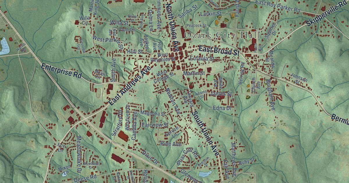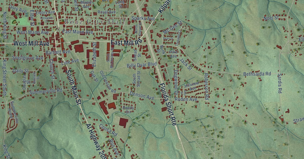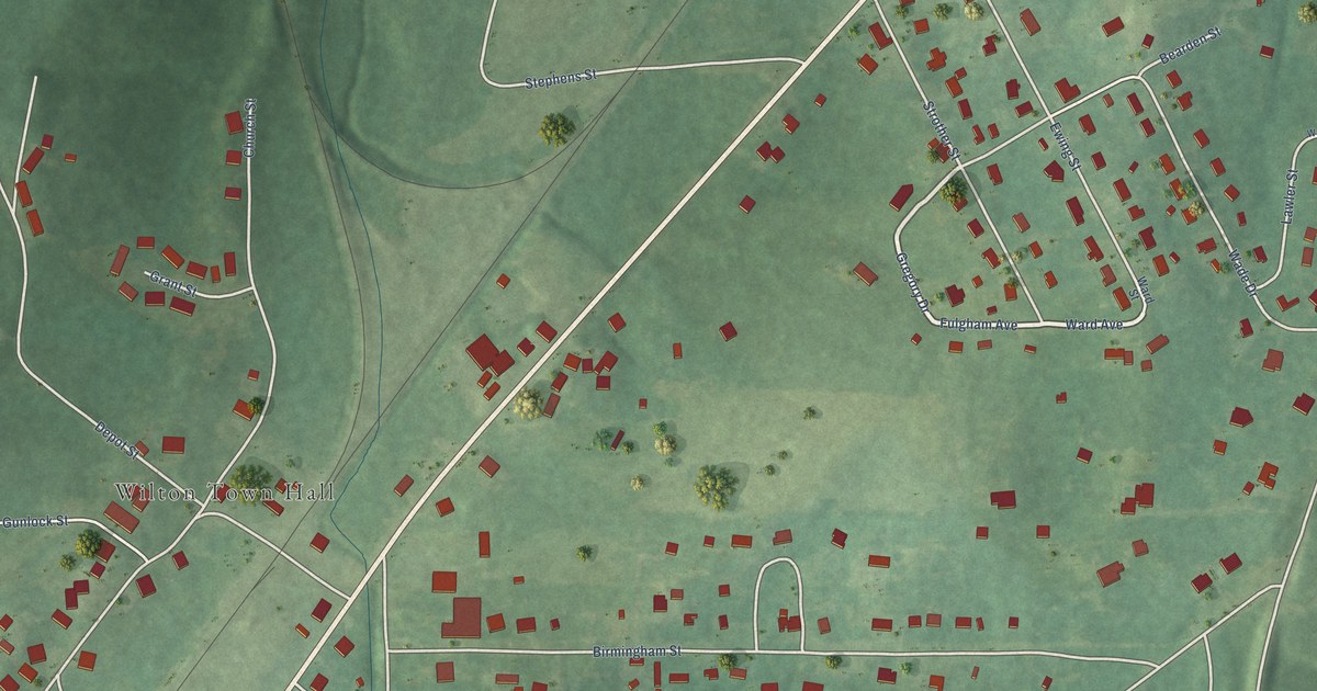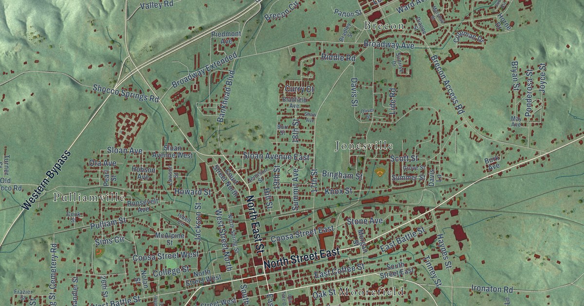
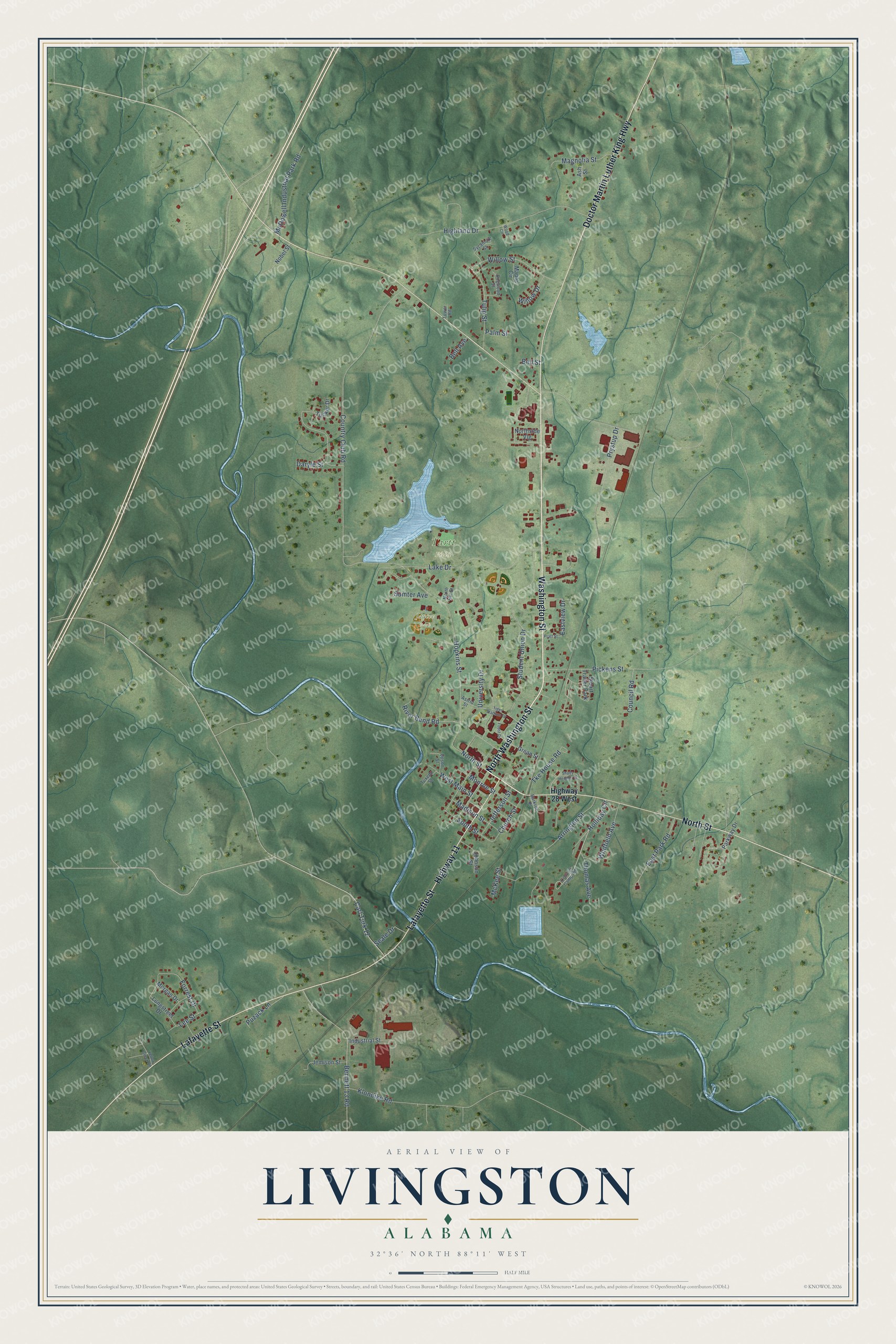
This beautifully detailed map of Livingston, Alabama was created in 2026 using aerial imagery combined with modern topographical, census, street and landmark data. It's a modern aerial view of Livingston in Sumter County, Alabama, that combines modern data with a vintage aesthetic. The roads feature printed names, and if you look closely you can find your exact house accurately shown in its correct location.
Explore an aerial view of Livingston, Alabama
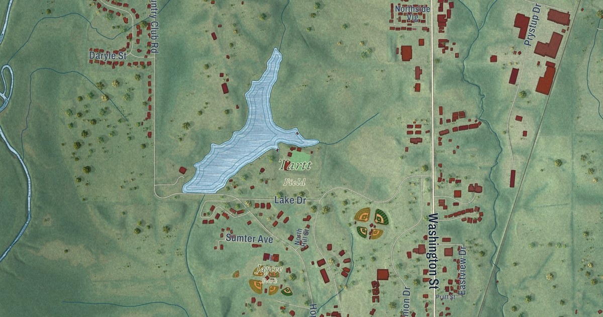
On this map you'll find Jaycee Park, Tartt Field, North Washington Street, North Street, Lafayette Street, Doctor Martin Luther King Highway, Washington Street, Highway 11, Holliday Circle, Carl Turk 12, Eastview Drive, Hopkins Street, and more. Each red shape is a building, so zoom in on the preview and look for yours.
Livingston has a story worth telling. The record at encyclopediaofalabama.org puts it this way: "Sumter County's first courthouse was built of logs at the intersection of Spring and Chapman (now West Main) Streets in Livingston."
Livingston is a city in Sumter County. The Census Bureau counted 3,436 people here in 2020.
Take a closer look at the Livingston map
Names on this map
These names are printed on this map.
Places: Jaycee Park, Tartt Field and Stuart Trailer Park.
Streets and roads: North Washington Street, North Street, Lafayette Street, Doctor Martin Luther King Highway, Washington Street, Highway 11, Holliday Circle, Carl Turk 12, Eastview Drive, Hopkins Street, University Drive, Country Club Road.
More street names, A to Z
Arrington Street, Ash Street, Astrid Street, Bell Avenue, Bell Street, Bennett 13 Road, Burkroe Place, Church Street, Convict Camp Road, Council Road, Daryle Street, Dogwood Street, East Park Road, Forrest Drive, Foust Drive, Grean Street, Highland Drive, Highway 28 West, Industrial Street, Jefferson Street, Jemison Street, Johnson Street, Klondike Road, Lake Drive, Lee Street, Longstreet Drive, Madison Street, Magnolia Street, Maple Circle, McDowell Industrial Park Road, McKee Street, Monroe Street, Morgan Drive, Nobel Street, North Hill Street, Northside Vlg, Palm Street, Parkway Drive, Pickens Street, Pratt Street, Prystup Drive, Puzack Lane, River Bend Road, Seale Drive, Shady Heights Drive, South Street, Student Union Drive, Sumter Avenue, Sycamore Street, Thomas Avenue, Tiger Stadium Drive, Tke House Road, Tower Road, Tucker Drive, Tulip Street, Tuxedo Street, Upson Street, West Main Street, Whitfield Avenue, Willow Drive, Willow Street, Wood Circle, Yellow Creek Road.
Created by KNOWOL in 2026. The buildings are small red shapes, the roads carry their printed names, and shaded relief shows the shape of the land. The title panel reads "AERIAL VIEW OF LIVINGSTON ALABAMA" with 32°36' NORTH 88°11' WEST.
It looks right in a kitchen, an office or a den, and it's a gift for anyone who grew up in Livingston or moved away. Open the preview and find your street. See sizes and frames for the Livingston map.