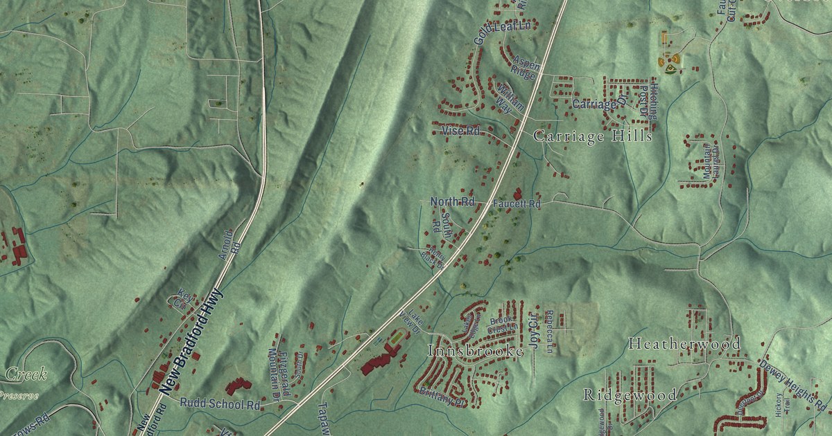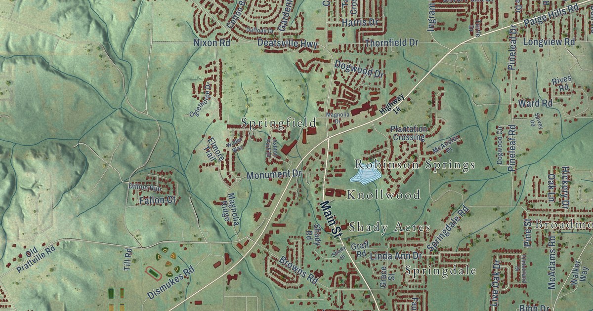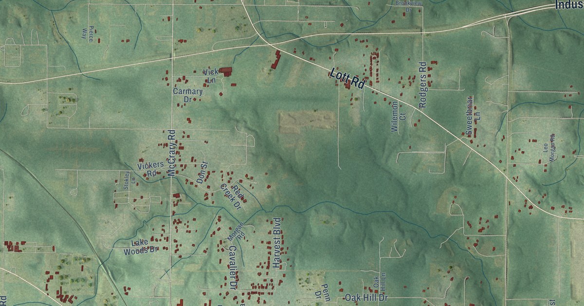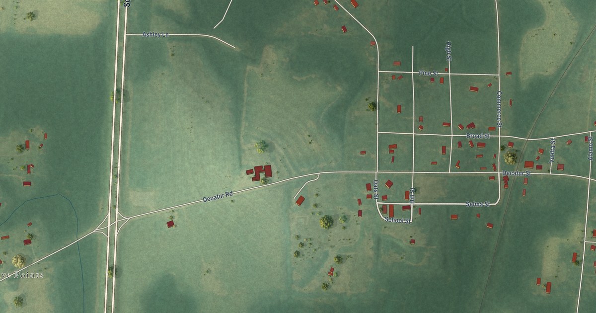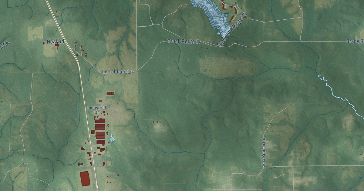
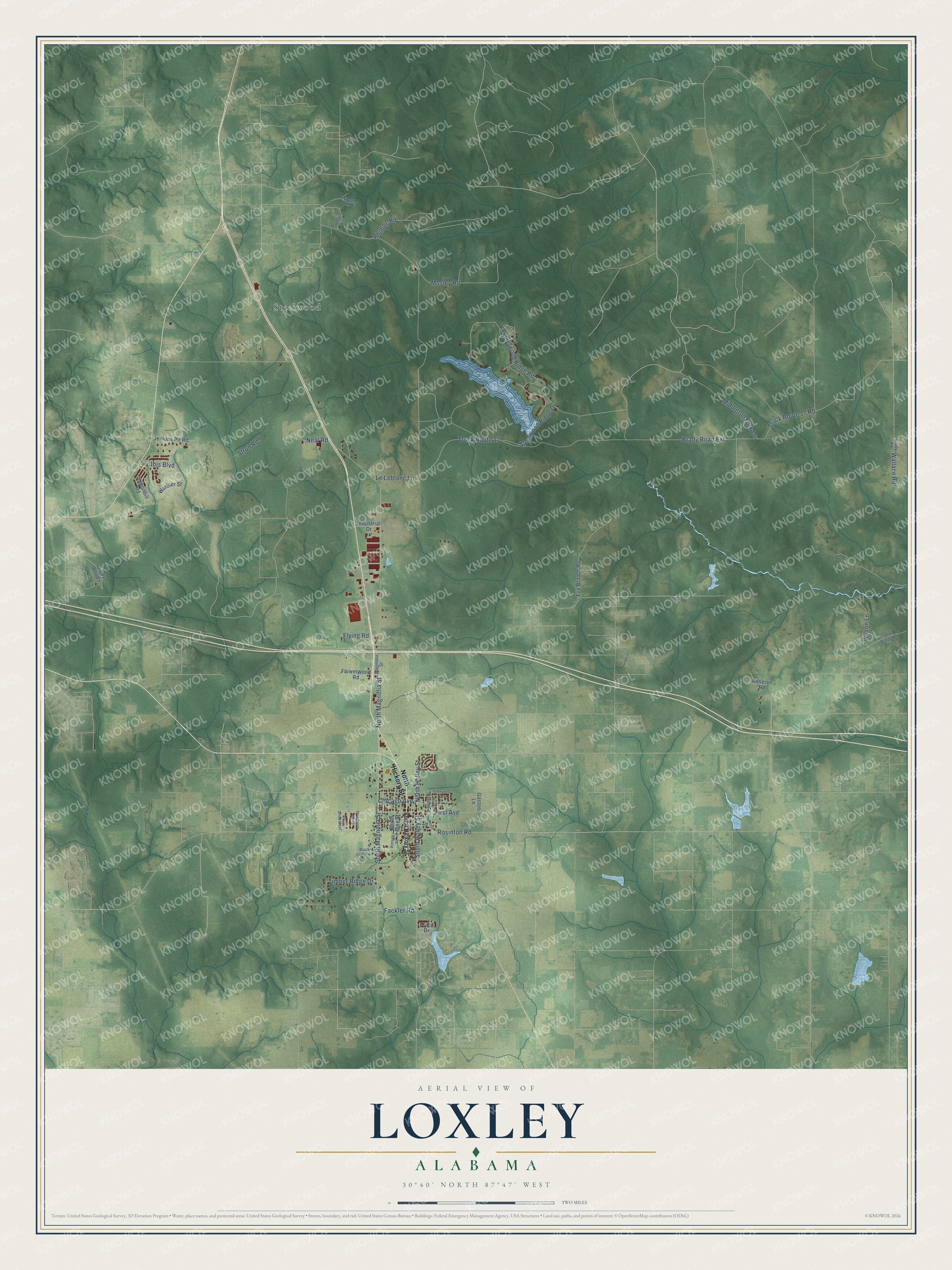
This beautifully detailed map of Loxley, Alabama was created in 2026 using aerial imagery combined with modern topographical, census, street and landmark data. It's a modern aerial view of Loxley in Baldwin County, Alabama, that combines modern data with a vintage aesthetic. The roads feature printed names, and if you look closely you can find your exact house accurately shown in its correct location.
Explore an aerial view of Loxley, Alabama
On this map you'll find Steelwood, Rosinton Road, Truck Route 17, Brady Road Extension, Mosley Road, North Magnolia Street, Steelwood Ridge Road, Steelwood Ridge Drive, Timber Ridge Drive, Truck Route 17 Road, First Avenue, North Holley Street, and more. Each red shape is a building, so zoom in on the preview and look for yours.
Here is a piece of Loxley history, in the words of the record. The record at encyclopediaofalabama.org puts it this way: "Baldwin County Cotton Farm The first settlement on the site was a village named Bennet (spelling varies depending on the source), but it came to be known as Loxley around 1900, when Michigan native John Loxley established a lumber camp among the virgin pine forests of southern Alabama."
Loxley is a city in Baldwin County. The Census Bureau counted 3,710 people here in 2020.
Take a closer look at the Loxley map
Names on this map
These names are printed on this map.
Places: Steelwood.
Streets and roads: Rosinton Road, Truck Route 17, Brady Road Extension, Mosley Road, North Magnolia Street, Steelwood Ridge Road, Steelwood Ridge Drive, Timber Ridge Drive, Truck Route 17 Road, First Avenue, North Holley Street, Stroh Road.
More street names, A to Z
Avian Drive East, Avian Drive West, Black Griffin Road, Brady Road, Chicago Avenue, Fackler Road, Flowerwood Road, Flying Road, Fox Branch Road, Gaston Lane, Glenshire Drive, Ibis Boulevard, Imperial Lane, Industrial Drive, Jenkins Pit Road, Le Leblanc Lane, Magnolia Street, Mahathy Lane, Middleton Fork Lane, Neal Road, North Alabama Street, North Hickory Street, Old Brady Road, Phillips Road, Railroad Street, Roserun Road, South Hickory Street, South Holley Street, South Magnolia Street, South Pine Street, Spoonbill Road, Trace Drive, Vintage Street, Wallace Road, Warbler Street, Wilson Lane, Windy Woods.
Created by KNOWOL in 2026. The buildings are small red shapes, the roads carry their printed names, and shaded relief shows the shape of the land. The title panel reads "AERIAL VIEW OF LOXLEY ALABAMA" with 30°40' NORTH 87°47' WEST.
It suits a den, a classroom or a front hall, and it makes a gift for anyone with Loxley roots. Open the preview and find the block you know. See sizes and frames for the Loxley map.