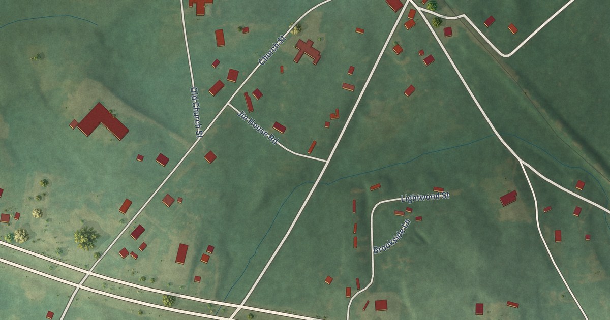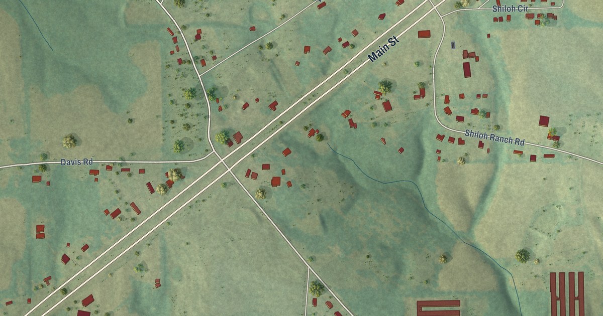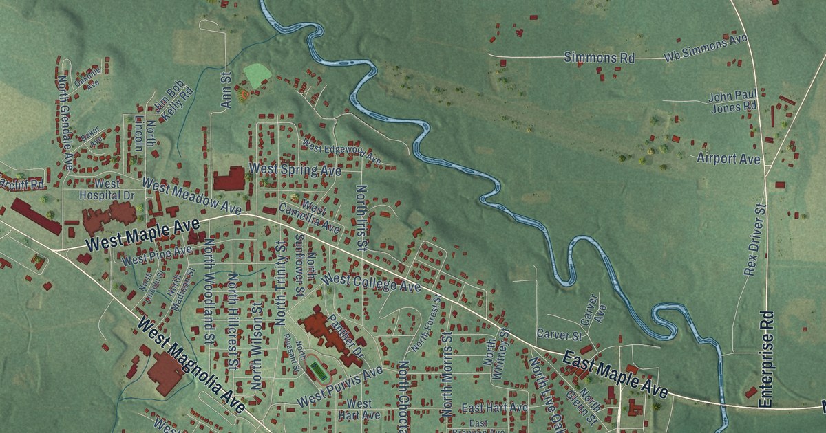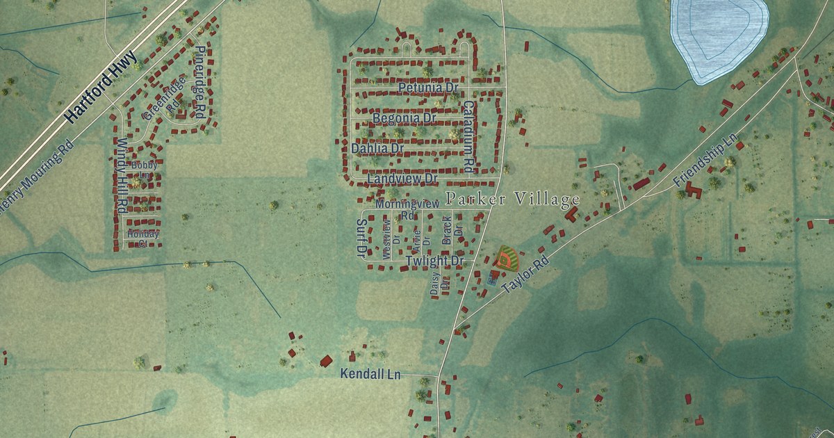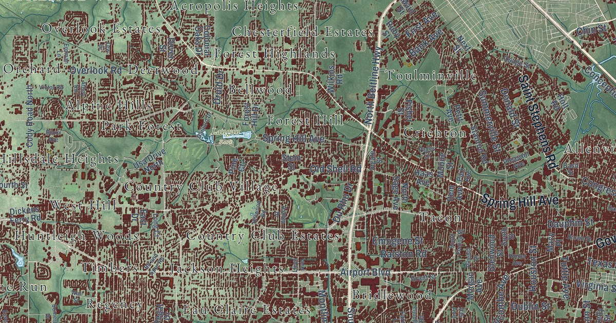
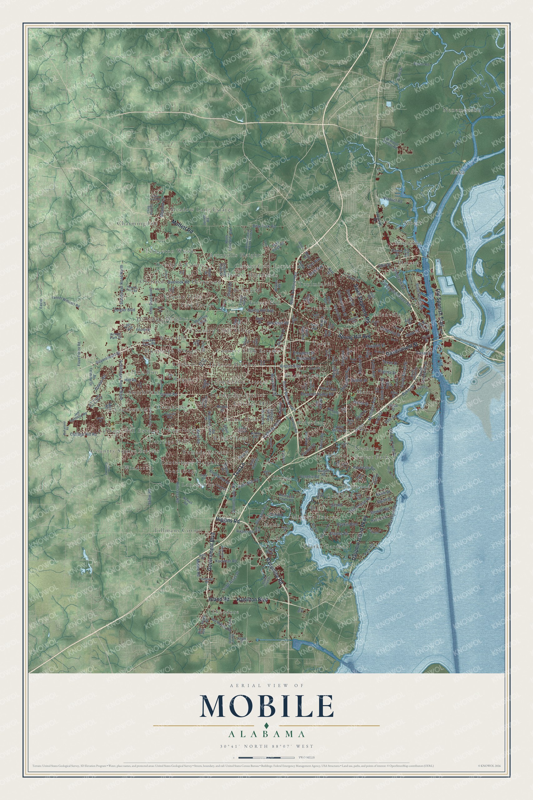
This beautifully detailed map of Mobile, Alabama was created in 2026 using aerial imagery combined with modern topographical, census, street and landmark data. It's a modern aerial view of Mobile in Mobile County, Alabama, that combines modern data with a vintage aesthetic. The roads feature printed names, and if you look closely you can find your exact house accurately shown in its correct location.
Explore an aerial view of Mobile, Alabama
On this map you'll find Langan Park, Acropolis Heights, Akka, Allenville, Alpine Hills, Belle Chene, Bellwood, Belvedere, Bridlewood, Burma Hills, Cambridge Estates, Canebrake, and more. Each red shape is a building, so zoom in on the preview and look for yours.
Every town has a first chapter, and Mobile is no exception. The record at encyclopediaofalabama.org puts it this way: "On November 20, 1818, just prior to Alabama's statehood, the Alabama Territorial Legislature chartered the city's first bank, the Bank of Mobile , which would operate in the city until 1884."
Mobile is a city in Mobile County. The Census Bureau counted 187,041 people here in 2020.
Take a closer look at the Mobile map
Names on this map
These names are printed on this map.
Places: Langan Park, Acropolis Heights, Akka, Allenville, Alpine Hills, Belle Chene, Bellwood, Belvedere, Bridlewood, Burma Hills, Cambridge Estates, Canebrake, Canterbury Heights, Carriage Hills, Charmingdale, Chesterfield Estates, Clarke Gardens, Cottage Hill, Cottage Hill Estates, Country Club Estates, Country Club Village, Country Squire Estates, Cox, Creekwood, Crichton, Deerwood, Eau Claire Estates, Edgefield, Forest Highlands, Forest Hill, Forest Park, Gulf Dale, Hillsdale Heights, Huntleigh Woods, Jackson Heights, Lansdowne, Lloyds, Magazine, Mann, Meadow Lane Estates, Mertz, Michele Estates, Navco, Nenemoosha, Neshota, Orchard, Overlook Estates, Park Forest, Pine Run, Plateau, Princeton Woods, Ramada Estates, Regency, Sherwood, Sibert, Smithfield, Southridge, Tacon, Theodore, Tillmans Corner, Timbers, Toulminville, West Hill and Windcrest.
Streets and roads: Government Boulevard, Rangeline Road, Dauphin Island Parkway, Moffett Road, Old Spanish Trail, Spring Hill Avenue, Hamilton Boulevard, Island Road, Government Street, Saint Stephens Road, Higgins Road, Teal Lane.
More street names, A to Z
15th Street, Aden Road, Airport Boulevard, Airport Road, Air Terminal Drive, Airway Park Drive, Alba Club Road, Alba Street, Alden Drive, Anton Street, Ashley Drive, Athey Road, Azalea Road, Baker Street, Bank Avenue, Basil Street, Bay Avenue, Bay Front Road, Bear Fork Road, Biloxi Avenue, Bit and Spur Road, Bowers Lane, Boykin Boulevard, Brill Road, Brown Street, Bryant Road, Burgett Road, Burma Hills Drive, Burma Road, Business Parkway, Canal Street, Cedar Point Road, Cedar Street, Center Street, Ching Dairy Road, Ching Lynch Road, Chin Street, Club House Road, Cody Road North, Cody Road South, Colonial Oaks Drive, Conception Street Road, Congress Street, Conti Street, Cottage Hill Avenue, Cottage Hill Road, Creekway Drive, Darwood Drive, Dauphin Street, David Drive, Dawes Road, Delta Street, Demetropolis Road, Dickens Ferry Road, Dixon Lane, Donald Street, Dover Street, Druid Drive, Dublin Street, Du Rhu Drive, Duval Street, Eagle Drive, Earle Street, East Drive, Easter Lane, East Road, East Shan Drive, Emelye Drive, Emogene Street, Erdman Lane, Essex Drive, Farnell Drive, Farnell Lane, Faye Street, Fifth Avenue, First Avenue, Fisher Street, Flave Pierce Road, Forest Hill Drive, Fourth Street, Gaillard Drive, Gayle Street, Gill Road, Girby Road, Glenwood Street, Grant Street, Grelot Road, Haas Avenue, Halls Mill Road, Hannon Road, Highway 90 Drive, Hillcrest Road, Hillwood Road, Hitt Road, Holcombe Avenue, Holt Road, Houston Street, Howell Avenue, Howells Ferry Road, Hunter Avenue, Hurtel Street, Ingate Street, Iris Avenue, Item Avenue, Jaciniport Access Road, Jarrett Road, Jeff Hamilton Road, Jeff Hamilton Road Extended, Kelly Street, Kim Avenue, Knight Drive, Knollwood Drive, Kooiman Road, Lakeside Drive, Lansdowne Drive, Lees Lane, Leroy Stevens Road, Lleyn Avenue, Long Court, Long Wood Road, Lubarrett Way, Lyons Street, Mac Drive, Macy Place, Magnolia Road, Main Street, McFarland Road, McRae Avenue, Meadow Lane, Michigan Avenue, Middle Road, Milton Road, Mobile Street, Montlimar Drive, Morgan Avenue, Navco Road, Nevius Road, Next Street, North Beltline Highway, North Drive, North McVay Drive, North Sage Avenue, North University Boulevard, North Water Street, Nortons Lane, Oak Street, Old Bay Front Drive, Old Military Road, Old Shell Road, Osage Street, Overlook Road, Pages Lane, Paper Mill Road, Park Avenue, Park Road, Park Street, Perimeter Drive, Perimeter Road, Petit Avenue, Pine Court, Pinehill Drive, Plantation Road, Pleasant Avenue, Pleasant Valley Road, Point Road, Pratt Drive, Rabbit Creek Drive, Raines Drive, Ralston Road, Regal Drive, Riviere du Chien Road, Robin Hood Drive, Rosedale Road, Ruby Street, Rutgers Road, Scenic Drive, Schillinger Road North, Schillinger Road South, Section Line Road, Service Road, Shelton Beach Road Extended, Shipyard Road, Sixth Street, Skywood Drive, Smith Street, Sollie Road, Somerby Drive, South Ann Street, South Beltline Highway, South Broad Street, South Conception Street, South Drive, South Florida Street, South Street, South Warren Street, Stanton Road, Staples Road, State Docks Road, State Street, Stein Street, Stewart Road, Summerville Street, Sybel Drive, Tanner Williams Road, Telegraph Road, Tew Drive, Texas Street, Todd Acres Drive, Todd Boulevard, Tufts Road, Tuttle Avenue, Usa Drive North, Vega Drive, Venetia Road, Viaduct Road, Victor Road, Virginia Street, Wall Street, West Avenue, West Road, Wildwood Place, Wilkins Road, Willis Road, Wolf Ridge Road, Yeend Street, Zeigler Boulevard, Zula Lane.
Created by KNOWOL in 2026. The buildings are small red shapes, the roads carry their printed names, and shaded relief shows the shape of the land. The title panel reads "AERIAL VIEW OF MOBILE ALABAMA" with 30°41' NORTH 88°07' WEST.
Hang it in the hallway, the office or the cabin, or give it to someone who left Mobile and still calls it home. Open the preview and look for a street you know. See sizes and frames for the Mobile map.