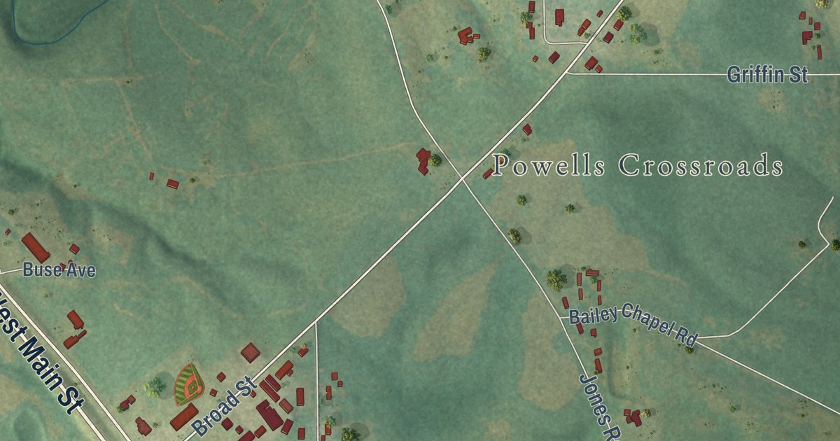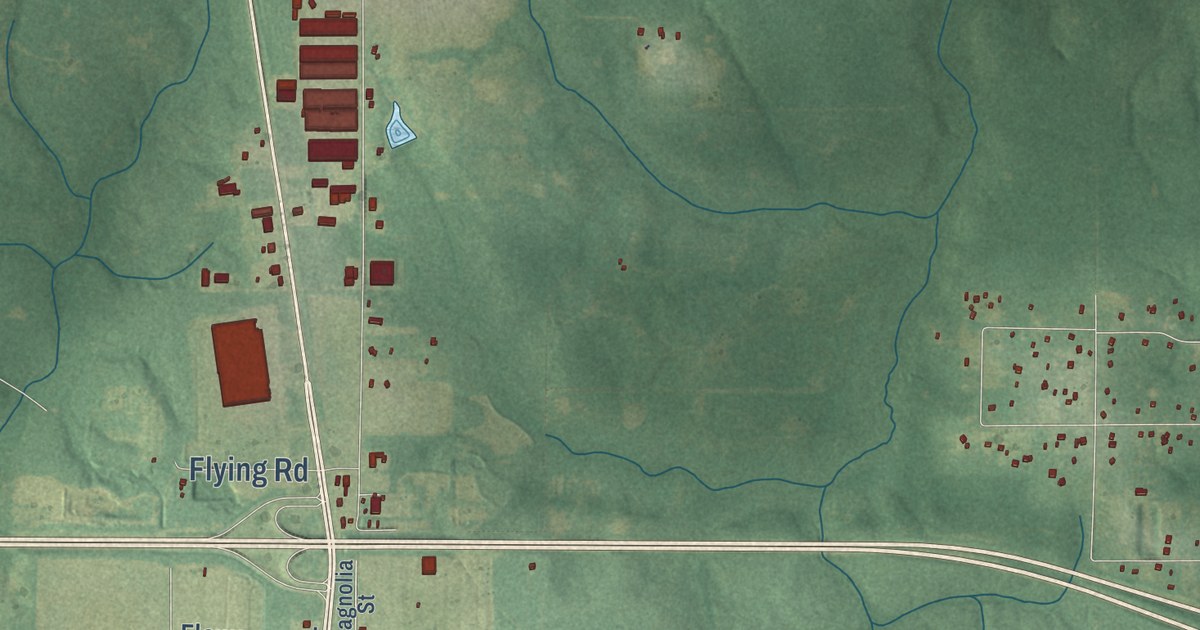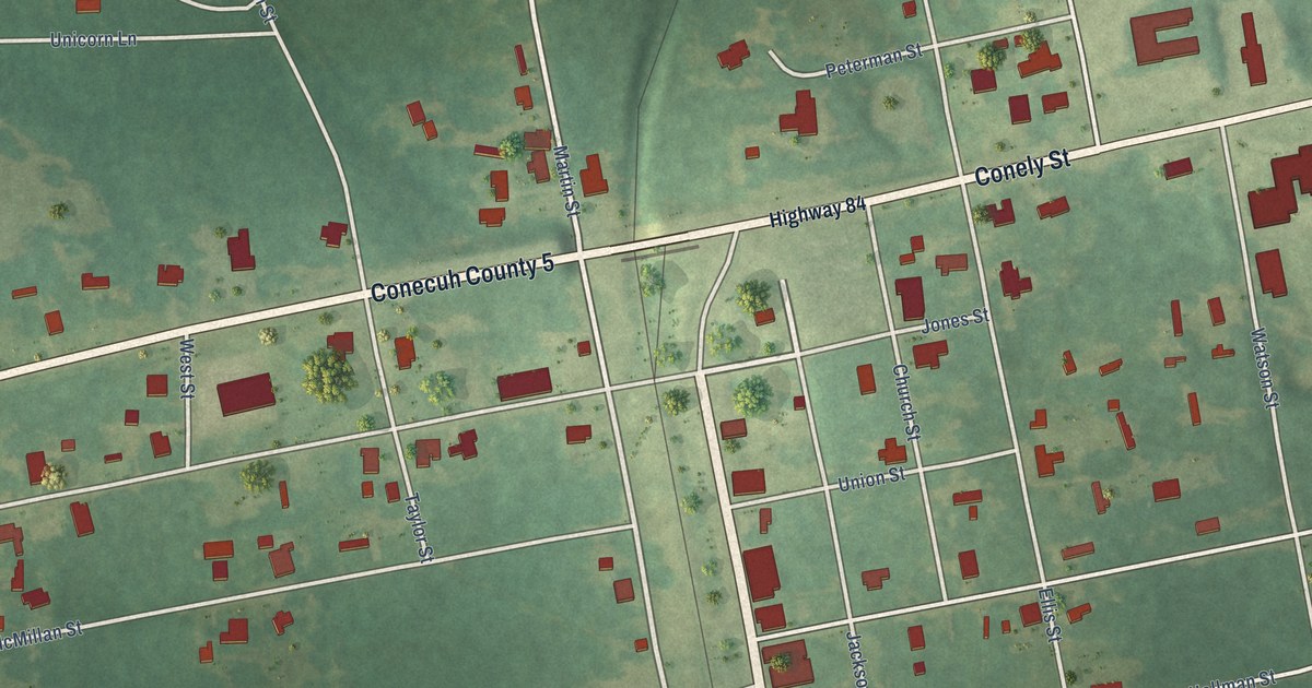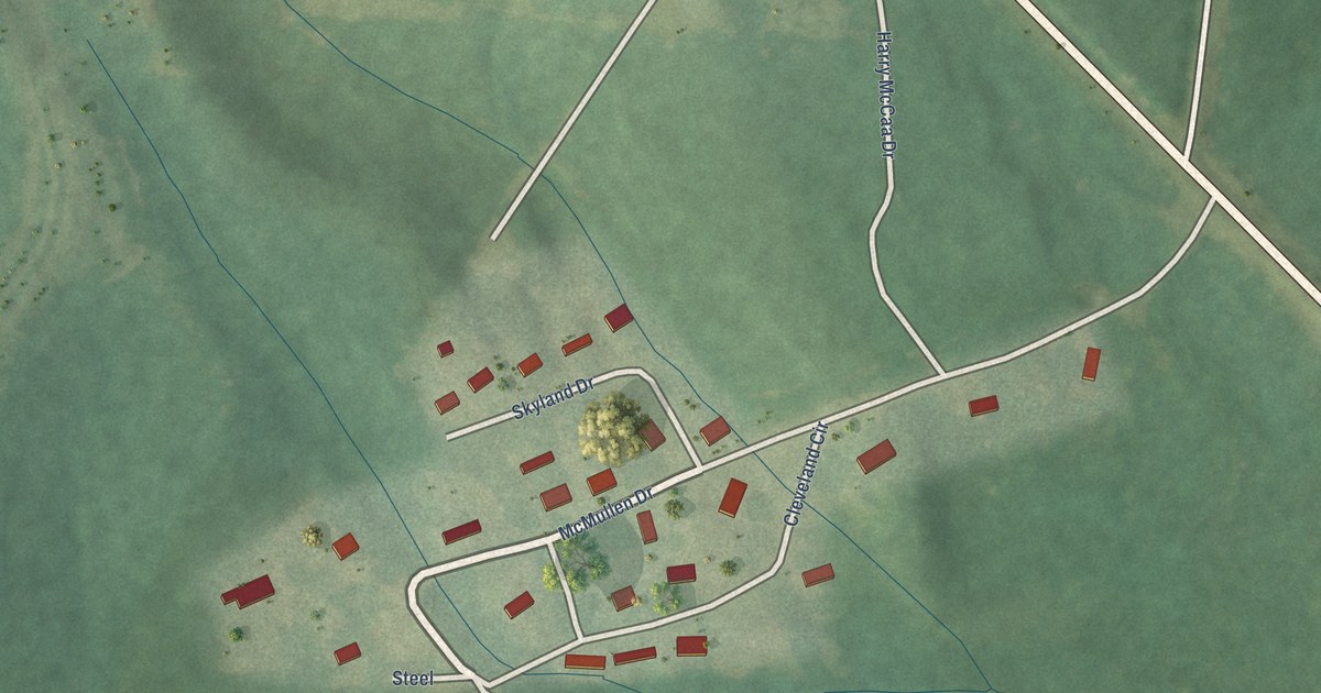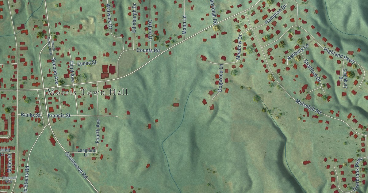
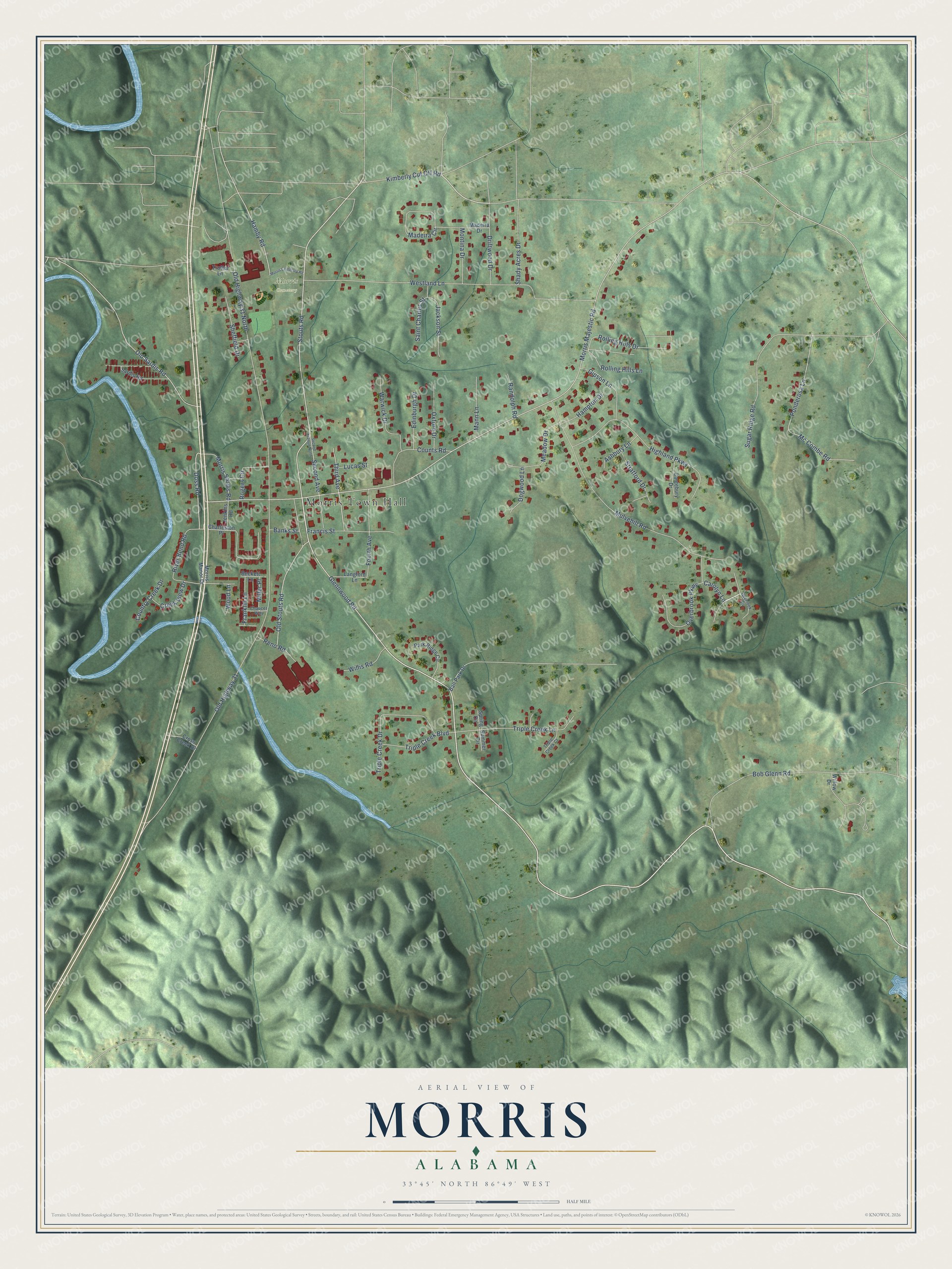
This beautifully detailed map of Morris, Alabama was created in 2026 using aerial imagery combined with modern topographical, census, street and landmark data. It’s a one-of-a-kind view of Morris that combines accurate data with a vintage aesthetic. The map shows every building in its true location, many of the roads carry their names, and the shaded topographic relief shows the shape of the land.
Explore an aerial view of Morris, Alabama
On the map you’ll find Morris Town Hall and Morris Cemetery, along with Glennwood Road, Stouts Road, Rolling Hills Lane, Doss Road, Hamby Road, Morris Majestic Road, Old Highway 31, Westland Lane, Mulvehill Road, Highland Parkway, and more. If you look closely you can even find your house accurately drawn in its correct location. Zoom in on the preview to look for yours.
Did you know this piece of Morris, Alabama history?
Morris grew in the 1870s and 1880s as the railroad arrived and nearby coal fields opened. In 1876 the Jefferson Coal Company was incorporated at Morris by three partners: Truman Aldrich, Marshall Morris and S. D. Holt. Its coal fueled successful tests at the Oxmoor furnace. They showed that coke pig iron could be made there. That’s from the Encyclopedia of Alabama.
Take a closer look at the Morris map
Street and place names on the Morris, Alabama map
These names are printed on the map of Morris, Alabama.
Places: Morris Town Hall and Morris Cemetery.
Streets and roads: Glennwood Road, Stouts Road, Rolling Hills Lane, Doss Road, Hamby Road, Morris Majestic Road, Old Highway 31, Westland Lane, Mulvehill Road, Highland Parkway, Rolling Hills Drive, Triple Creek Lane.
More street names, A to Z
Ashbury Lane, Ball Park Drive, Banks Street, Beckett Lane, Bob Glenn Road, Cantebury Drive, Carolyn Lane, Charleston Place, Chaucer Way, Country Creek Drive, Counts Road, Creek View Drive, Cross Creek Drive, Dogwood Lane, Driftwood Drive, Edinburgh Drive, Fourth Avenue, Francis Street, Franklin Lane, Gipson Lane, Hampton Drive, Jackson Street, Jenkins Road, Kimberly Cut Off Road, Langford Lane, Lucas Street, Madeira Circle, Madeira Drive, Mann Lane, Mc Combe Road, Meadow Drive, Miller Place, Montina Drive, Morris Cemetary Road, Morris Manor Drive, Morris Sardis Road, Old Highway 31 North, Old Sardis Road, Old Stouts Road, Overbrook Parkway, Overlook Circle, Oxford Drive, Park Ridge Circle, Ponderosa Lane, Randolph Road, Reno Road, River Bend Road, Rogers Circle, Saint Charles Street, Sardis Road, Second Avenue, Second Avenue North, Shady Acres Drive, Sheffield Drive, Spring Circle, Stratford Drive, Sugar Ridge Road, Summer Circle, Third Avenue, Triple Creek Boulevard, Triple Creek Court, Triple Creek Drive, Trotter Lane, Warwick Drive, Willis Road, Willow Drive, Wood Lane.
See the Morris, Alabama map on a wall
The Morris map as an 18 x 24 inch print in a black frame.

This beautifully detailed map of Morris makes an attractive addition to your office, library, or den, and it can even be used to teach children the geography and history of the area. It also makes a great gift for anyone who grew up in Morris or moved away. When you’re done exploring, click here to get your copy of the Morris map.