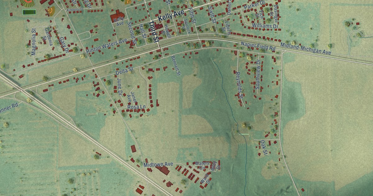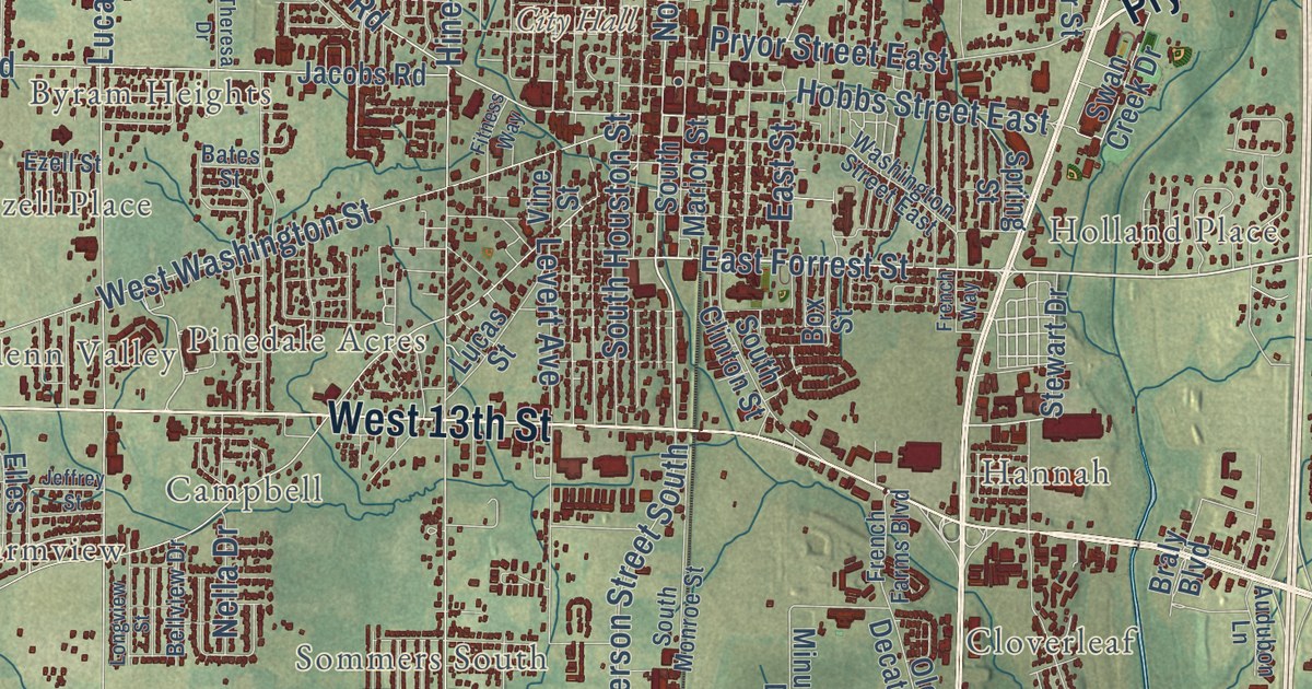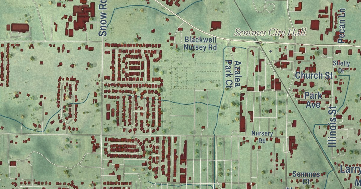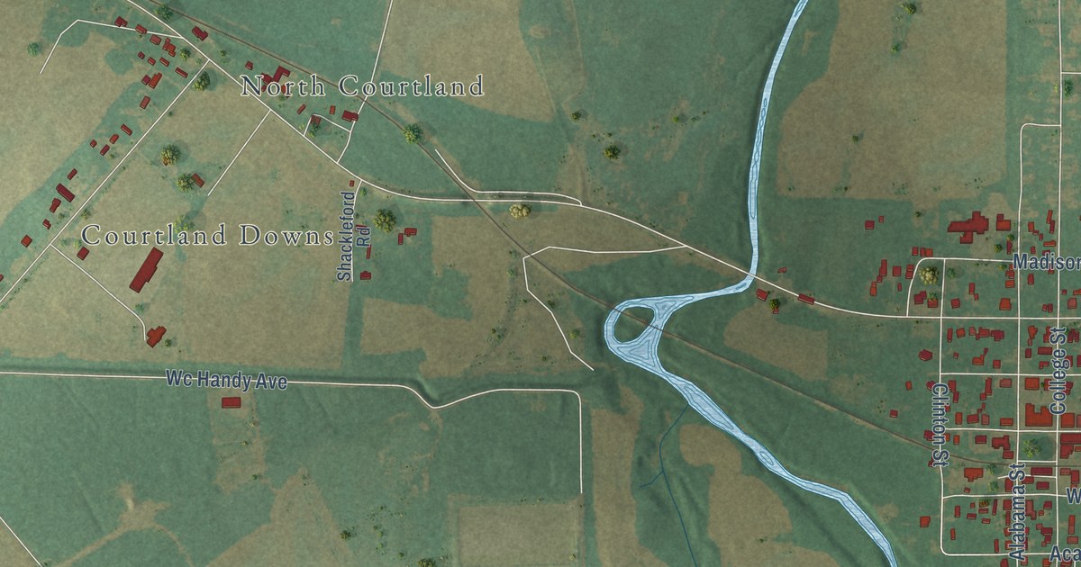
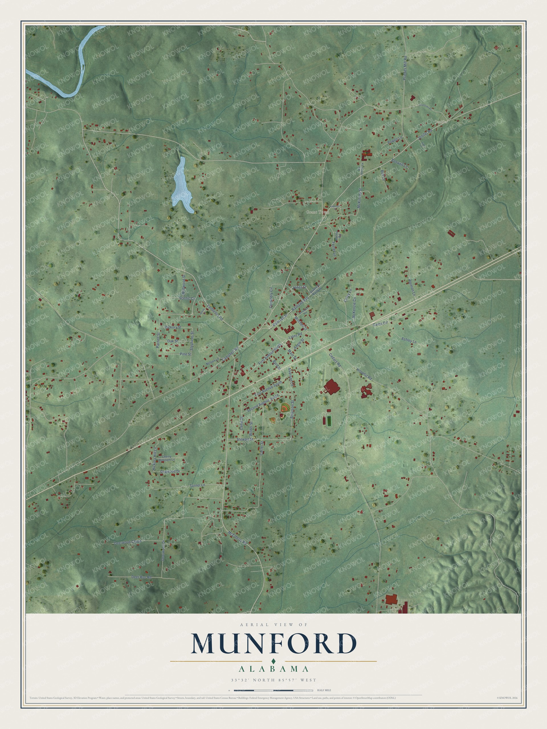
This beautifully detailed map of Munford, Alabama was created in 2026 using aerial imagery combined with modern topographical, census, street and landmark data. It’s a one-of-a-kind view of Munford that combines accurate data with a vintage aesthetic. The map shows every building in its true location, many of the roads carry their names, and the shaded topographic relief shows the shape of the land.
Explore an aerial view of Munford, Alabama
On the map you’ll find Jenifer and Grant Town, along with Jones Street, Railroad Street, Railroad Avenue, Scenic Circle, Alverson Street, Jenifer Road, McElderry Road, Carter Street, Ledbetter Road, Cedars Road, and more. If you look closely you can even find your house accurately drawn in its correct location. Zoom in on the preview to look for yours.
Did you know this piece of Munford, Alabama history?
From the Encyclopedia of Alabama: "Munford's first settlers arrived in the area in the early 1830s. It is best known for the Battle of Munford, a Civil War skirmish that took place between Confederate and federal troops on April 23, 1865, two weeks after Gen. Robert E. Lee had surrendered at Appomattox Court House, Virginia."
Take a closer look at the Munford map
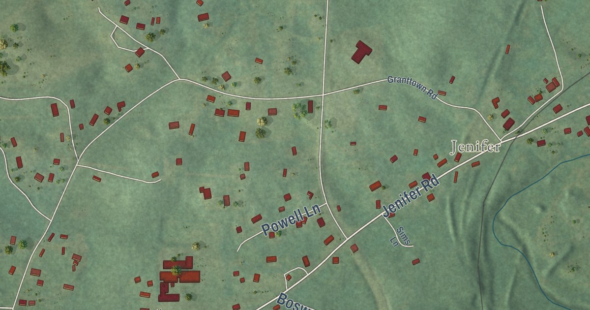
Street and place names on the Munford, Alabama map
These names are printed on the map of Munford, Alabama.
Places: Jenifer and Grant Town.
Streets and roads: Jones Street, Railroad Street, Railroad Avenue, Scenic Circle, Alverson Street, Jenifer Road, McElderry Road, Carter Street, Ledbetter Road, Cedars Road, Deerwood Drive, Campbell Road.
More street names, A to Z
Alverson Lane, Anderson Street, Angle Street, Ashley Lane, Bell Lane, Boswell Lane, Byrd Street, Camp Circle, Camp Street, Cemetery Circle, Cherry Blossom Lane, Coley Lane, Deer Run Road, Deerwood Chase, Dogwood Drive, First Avenue North, First Avenue South, Foster Lane, Granttown Road, Harmon Lane, Hickory Hill Lane, Hickory Street, Hill School Circle, Hopeful Road, Lions Road, Main Street, McKenzie Circle, McKinney Street, Mitchell Street, Nelson Lane, Oak Street, Parnell Street, Pine Street, Powell Lane, Priebes Mill Road, Second Avenue South, Sims Lane, Smith Lane, Southern Railway, Stephens Street, Stewart Street, Turner Lane, Valley Road, Wilder Street, Wildwood Street, Woodward Avenue.
See the Munford, Alabama map on a wall
The Munford map as an 18 x 24 inch print in a black frame.

This beautifully detailed map of Munford makes an attractive addition to your office, library, or den, and it can even be used to teach children the geography and history of the area. It also makes a great gift for anyone who grew up in Munford or moved away. When you’re done exploring, click here to get your copy of the Munford map.