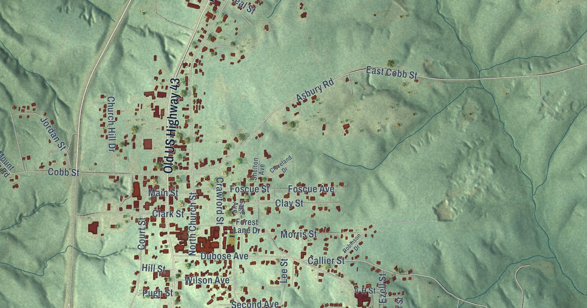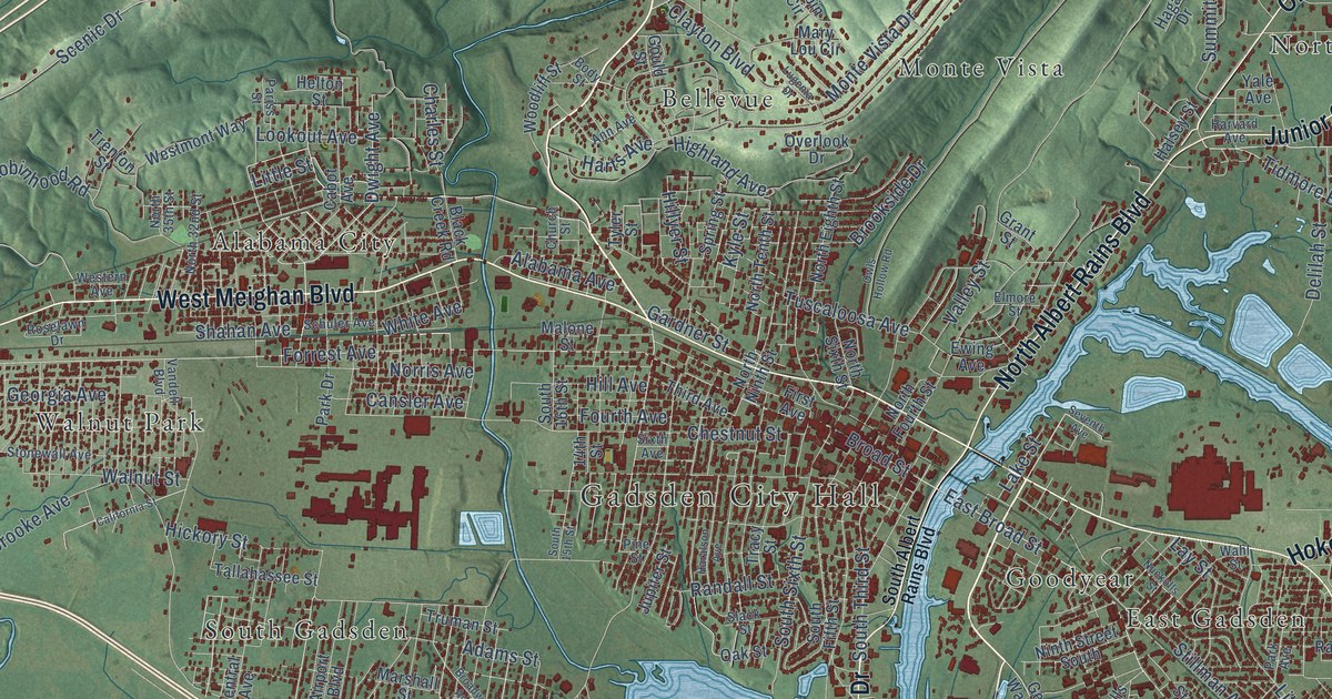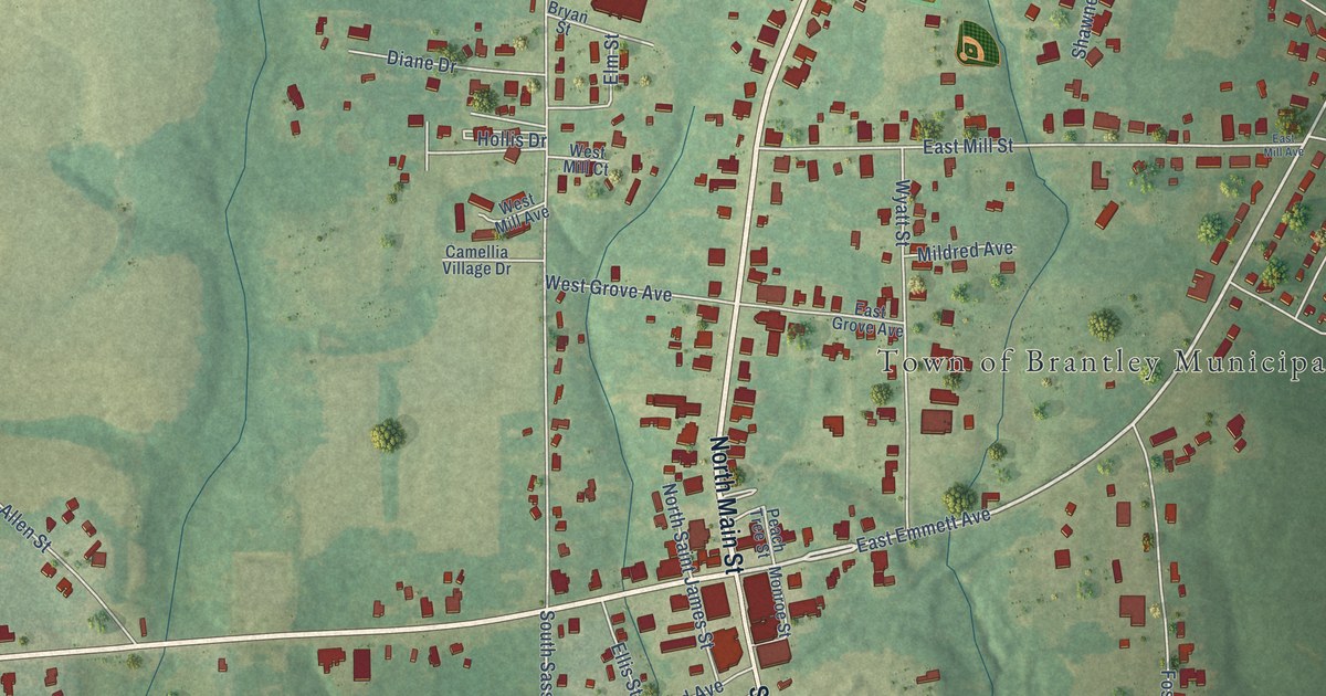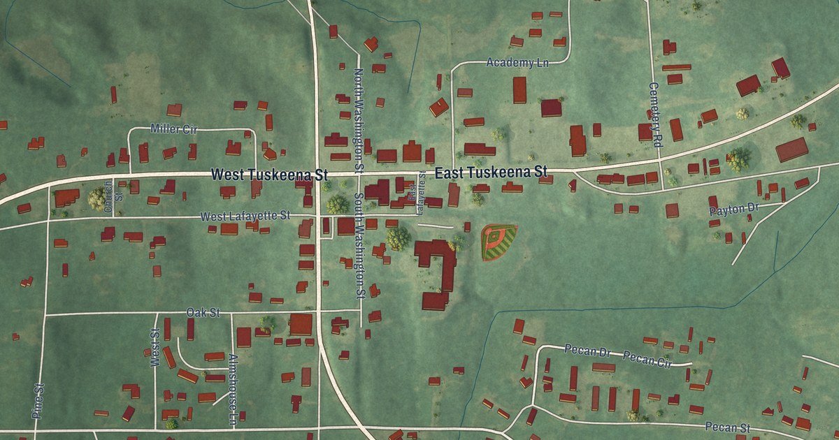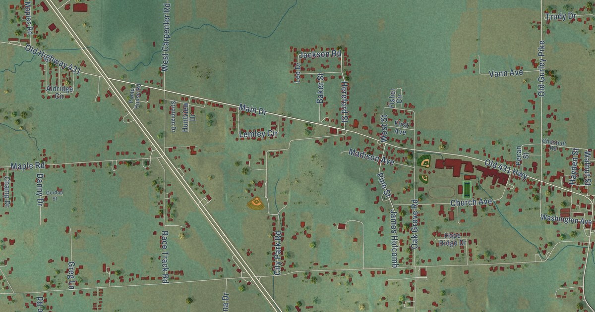
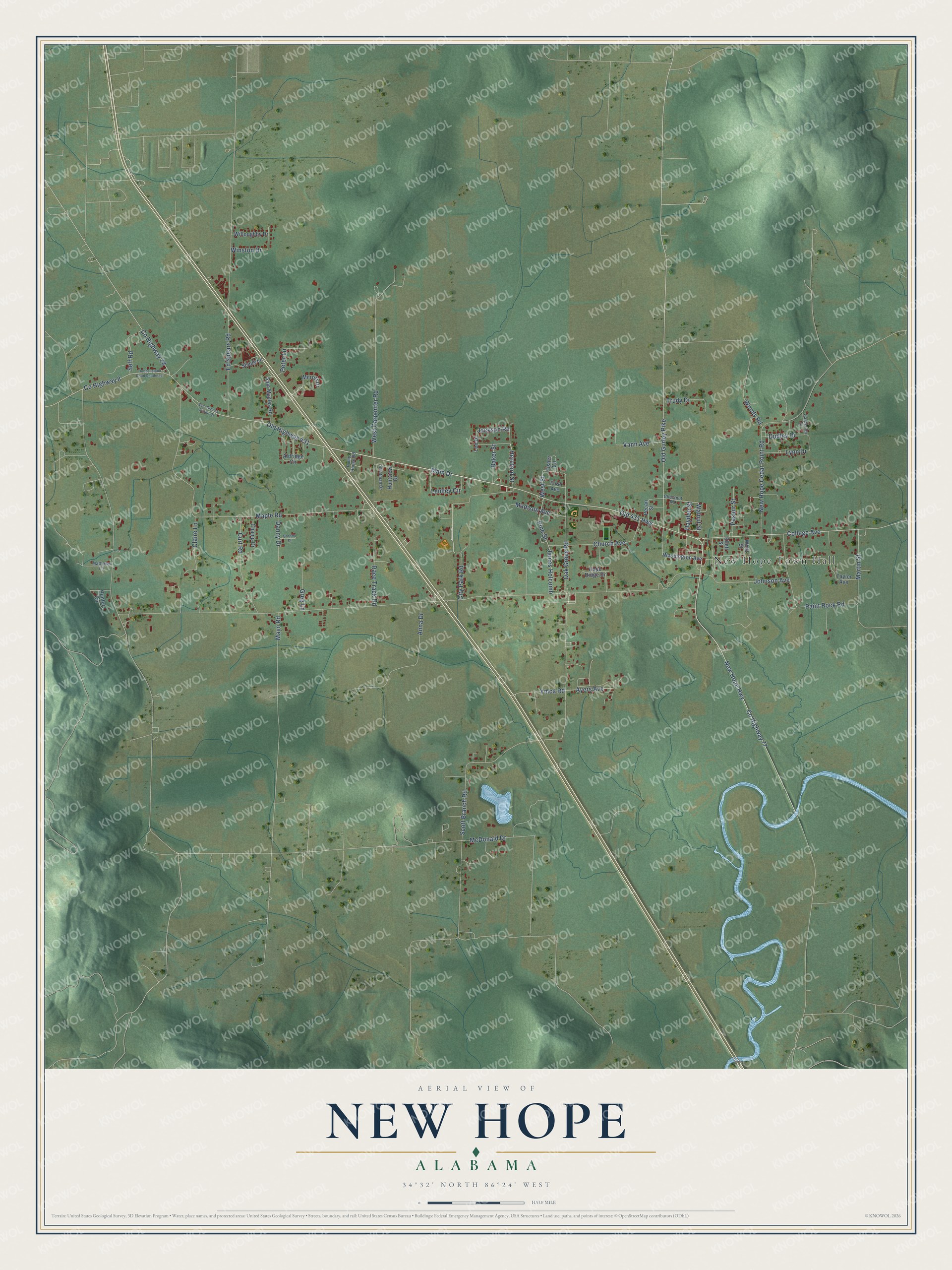
This beautifully detailed map of New Hope, Alabama was created in 2026 using aerial imagery combined with modern topographical, census, street and landmark data. It's a modern aerial view of New Hope in Madison County, Alabama, that combines modern data with a vintage aesthetic. The roads feature printed names, and if you look closely you can find your exact house accurately shown in its correct location.
Explore an aerial view of New Hope, Alabama
On this map you'll find New Hope Town Hall, Main Drive, Co Highway 28, Old Highway 431, Co Highway 77, Hereford Street, College Avenue, Walnut Street, Jackson Road, New Hope Highway, Old Gurley Pike, Ymca Road, and more. Each red shape is a building, so zoom in on the preview and look for yours.
Here is a piece of New Hope history, in the words of the record. The record at encyclopediaofalabama.org puts it this way: "First New Hope Public School Public education in New Hope is administered by Madison County Schools, which oversees one elementary school covering grades 1-8 and one high school covering grades 9-12."
New Hope is a city in Madison County. The Census Bureau counted 2,889 people here in 2020.
Take a closer look at the New Hope map
Names on this map
These names are printed on this map.
Places: New Hope Town Hall.
Streets and roads: Main Drive, County Highway 28, Old Highway 431, County Highway 77, Hereford Street, College Avenue, Walnut Street, Jackson Road, New Hope Highway, Old Gurley Pike, Ymca Road, Johnson Avenue.
More street names, A to Z
Aldridge Circle, Anna Drive, Ayers Avenue, Baker Street, Carpenter Drive, Champ Drive, Chestnut Road, Church Avenue, City Park Road, Claire Lane, County Highway 8, Curt Road, Danny Drive, Dudley Drive, Ed Spears Road, Ellett Street, First Avenue, Fisher Circle, Gordon Street, Greg Lane, Hayden Street, Hobbs Island Road Southeast, Hope Ridge Drive, Hunter Circle, Huntview Drive, James Holcomb, Lee Drive, Lemley Circle, Lynn Drive, Madison Avenue, Maple Road, Martin Street, Mathews Lane, Mayo Road, McDonald Drive, Merritt Drive, New Hope Cedar Point Road, Oak Grove Road, Old 431 Highway, Paint Rock Road, Paseur Street, Pecan Street, Peter Lane, Pine Street, Pump House Road, Race Track Road, Sam Groons Senior Drive, Sam Maples Road, Scott Branch Road, Self Road, Shady Lane, Stratman Drive, Taylor Avenue, Trudy Drive, Vann Avenue, Washington Avenue, West Carpenter Road, West Street, Whitt Street, Willoughby Drive, Winston Drive, Woody Road.
Created by KNOWOL in 2026. The buildings are small red shapes, the roads carry their printed names, and shaded relief shows the shape of the land. The title panel reads "AERIAL VIEW OF NEW HOPE ALABAMA" with 34°32' NORTH 86°24' WEST.
It suits a den, a classroom or a front hall, and it makes a gift for anyone with New Hope roots. Open the preview and find the block you know. See sizes and frames for the New Hope map.