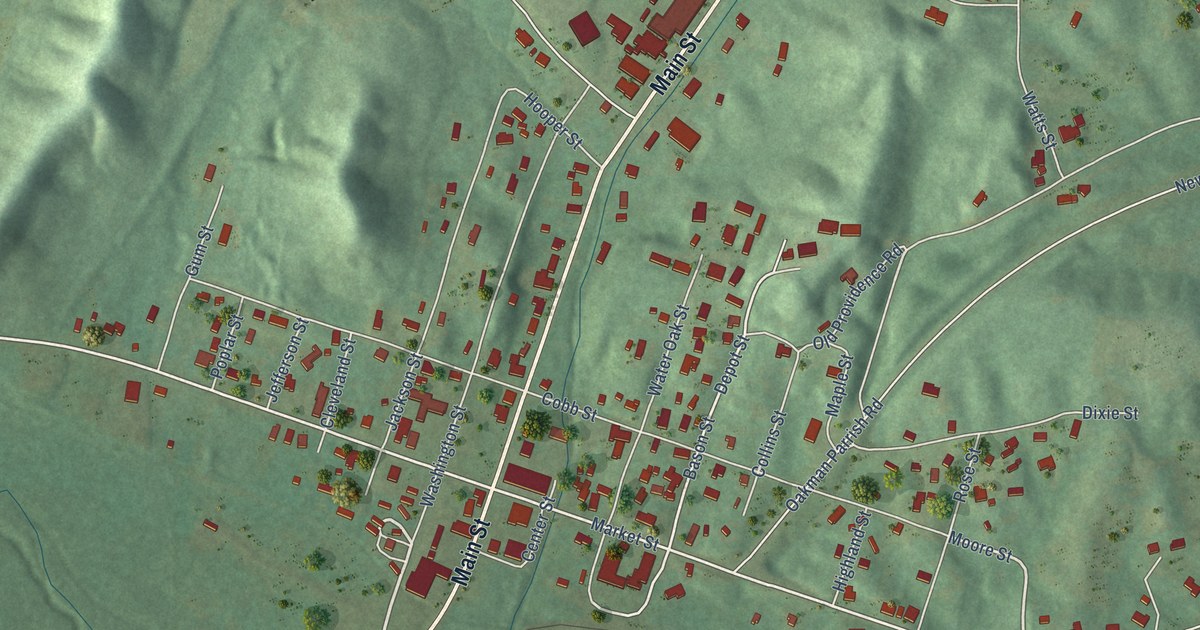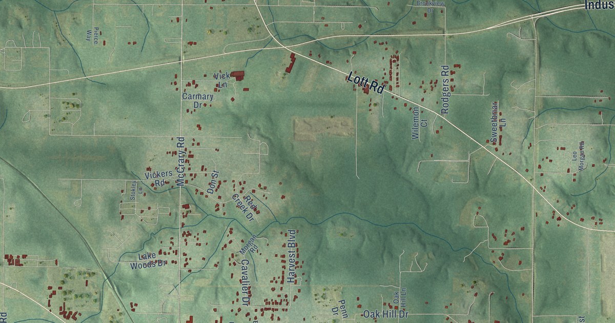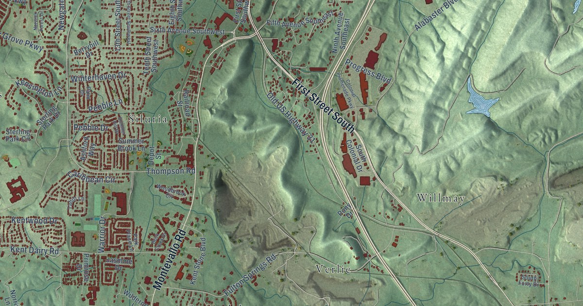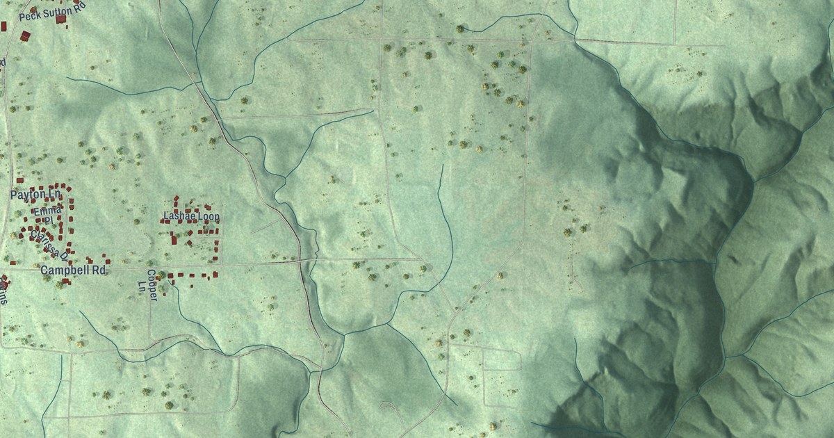
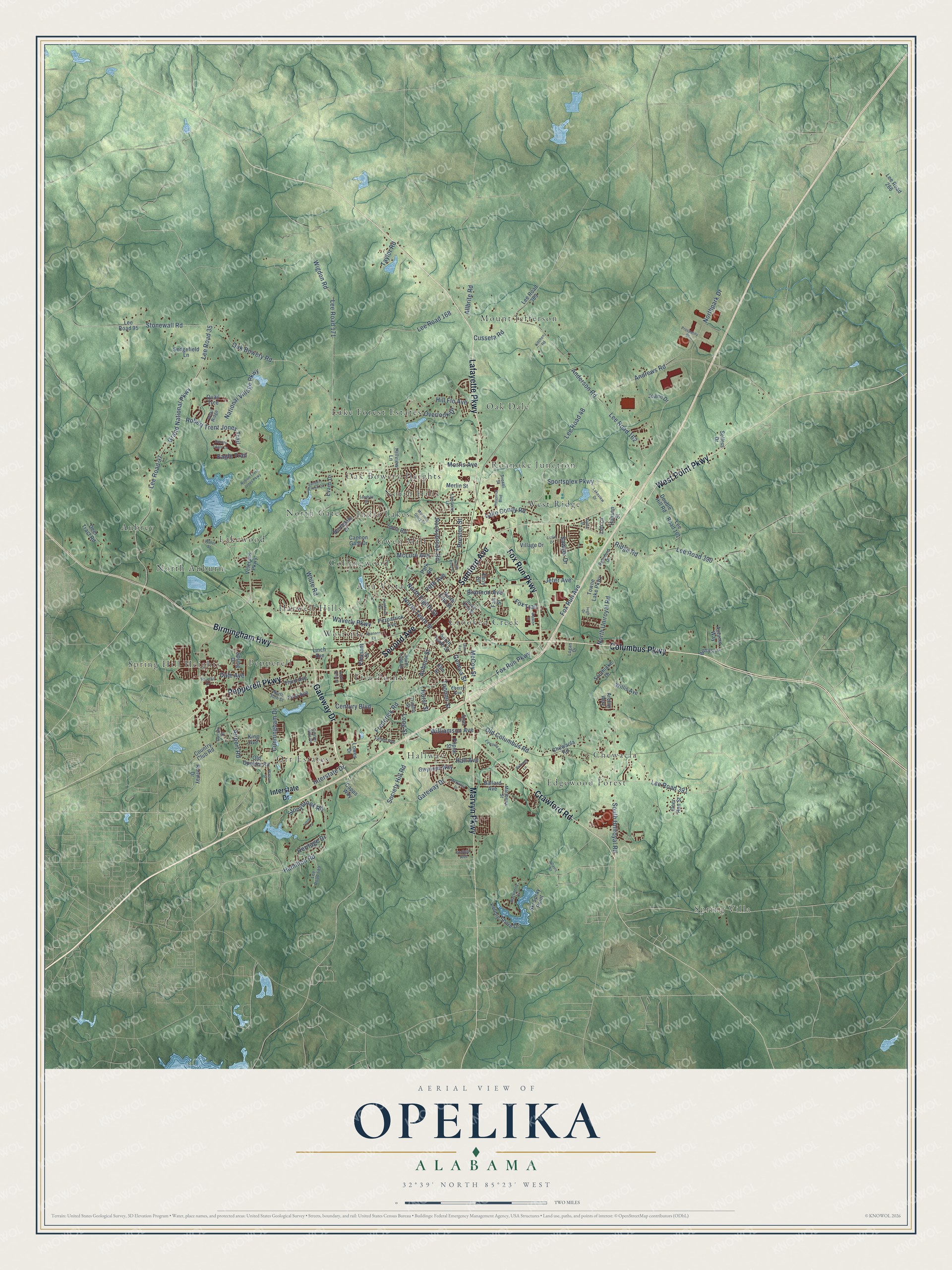
This beautifully detailed map of Opelika, Alabama was created in 2026 using aerial imagery combined with modern topographical, census, street and landmark data. It's a modern aerial view of Opelika in Lee County, Alabama, that combines modern data with a vintage aesthetic. The roads feature printed names, and if you look closely you can find your exact house accurately shown in its correct location.
Explore an aerial view of Opelika, Alabama
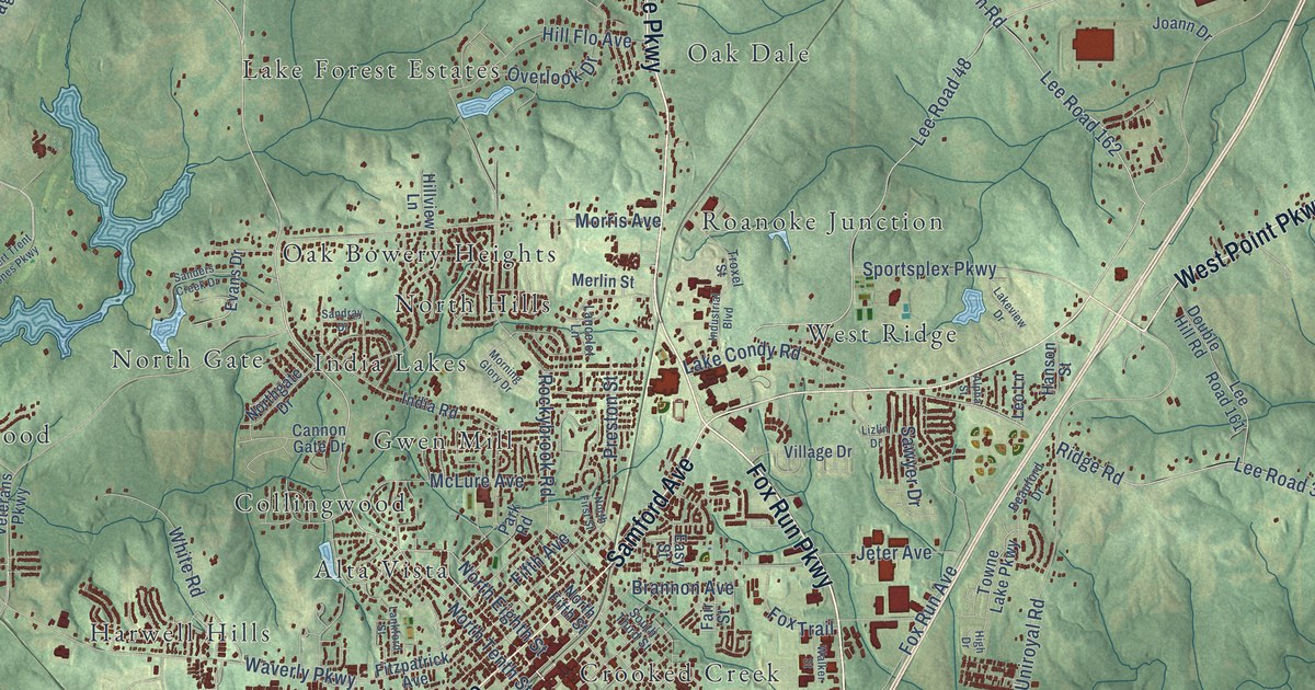
On this map you'll find Spring Villa, Alta Vista, Aubrey, Chewacla, Collingwood, Crooked Creek, Edgewood Forest, Five Points, Gwen Mill, Hallway, Harwell Hills, India Lakes, and more. Each red shape is a building, so zoom in on the preview and look for yours.
Here is a piece of Opelika history, in the words of the record. The record at encyclopediaofalabama.org puts it this way: "Darden House in Opelika The first White settlers arrived in the area now known as Opelika in the late 1830s, after the Creek Indians ceded the land to the U.S. government in the 1832 Treaty of Cusseta ."
Opelika is a city in Lee County. The Census Bureau counted 30,995 people here in 2020.
Take a closer look at the Opelika map
Names on this map
These names are printed on this map.
Places: Spring Villa, Alta Vista, Aubrey, Chewacla, Collingwood, Crooked Creek, Edgewood Forest, Five Points, Gwen Mill, Hallway, Harwell Hills, India Lakes, Lake Forest Estates, Lakewood, Mount Jefferson, North Auburn, North Gate, North Hills, Oak Bowery Heights, Oak Dale, Orr Estates, Pepperell, Roanoke Junction, Spring Hill Heights, West Ridge and Westside.
Streets and roads: Fox Run Parkway, Birmingham Highway, Lafayette Parkway, Gateway Drive, Samford Avenue, Second Avenue, Columbus Parkway, West Point Parkway, Pepperell Parkway, Crawford Road, Marvyn Parkway, Oak Bowery Road.
More street names, A to Z
Airport Road, Allbrite Road, Alpha Street, Anderson Road, Andrews Road, Archer Way, Auburn Street, Autumn Way, Ballard Avenue, Beauford Drive, Bettys Lane, Blackberry Cv, Brannon Avenue, Brittany Lane, Cannon Gate Drive, Capps Way, Center Hills Drive, Century Boulevard, Cherry Avenue, Chewacla Road, Country Club Road, Cunningham Drive, Cusseta Road, Dale Avenue, Davis Street, Deer Run Street, Deer Tract Road, Dorsey Street, Double Eagle Lane, Double Hill Road, Eagle Trail, Easy Street, Edwards Road, Elm Street, Evans Drive, Fair Street, Fifth Avenue, First Avenue, Fitzpatrick Avenue, Fox Run Avenue, Fox Trail, Frederick Road, Geneva Street, Glenn Avenue, Grand National Parkway, Gwynnes Way, Hall Avenue, Hamilton Road, Hanson Street, Heritage Drive, High Drive, Hill Flo Avenue, Hillview Lane, Hurst Street, India Road, Indigo Avenue, Industrial Boulevard, Interstate Drive, Jeter Avenue, Joann Drive, King Avenue, Kitchen Road, Lake Condy Road, Lakeview Drive, Lancelot Lane, Lankford Street, Lee Road 35, Lee Road 48, Lee Road 95, Lee Road 97, Lee Road 161, Lee Road 162, Lee Road 168, Lee Road 171, Lee Road 266, Lee Road 389, Lee Road 390, Lee Road 391, Lee Road 689, Leo Lane, Linch Avenue, Lizlin Drive, Logan Drive, Long Street, Lowes Drive, Matthews Street, McCoy Street, McKinley Drive, McLure Avenue, Merlin Street, Morning Glory Drive, Morris Avenue, National Village Parkway, North 20th Street, North 30th Street, North Eighth Street, North Fifth Street, North First Street, Northgate Drive, Northpark Drive, North Tenth Street, North Uniroyal Road, Old Columbus Road, Old Opelika Road, Overlook Drive, Park Road, Pebble Shore Drive, Pleasant Drive, Poplar Street, Preston Street, Prosperity Drive, Quail Ridge, Quail Trce, Randall Drive, Ridge Road, Robert Trent Jones Parkway, Robert Trent Jones Trail, Rockybrook Road, Runway Drive, Sanders Creek Drive, Sandray Drive, Sawyer Drive, Sedgefield Lane, Sellers Drive, Shannon Court, Ski Spray Point, Society Hill Road, Southlake Drive, South Long Street, South Tenth Street, South Third Street, South Uniroyal Road, Sportsplex Parkway, Spring Drive, Steel Street, Stonewall Road, Stonybrook Road, Tatum Avenue, Taylor Road, Third Avenue, Tifton Lane, Toomer Street, Towne Lake Parkway, Trimble Street, Troxel Street, Veterans Parkway, Village Drive, Walker Street, Water Street, Watson Street, Waverly Parkway, White Road, Wigdon Road, Williamson Avenue, Willis Avenue.
Created by KNOWOL in 2026. The buildings are small red shapes, the roads carry their printed names, and shaded relief shows the shape of the land. The title panel reads "AERIAL VIEW OF OPELIKA ALABAMA" with 32°39' NORTH 85°23' WEST.
It suits a den, a classroom or a front hall, and it makes a gift for anyone with Opelika roots. Open the preview and find the block you know. See sizes and frames for the Opelika map.