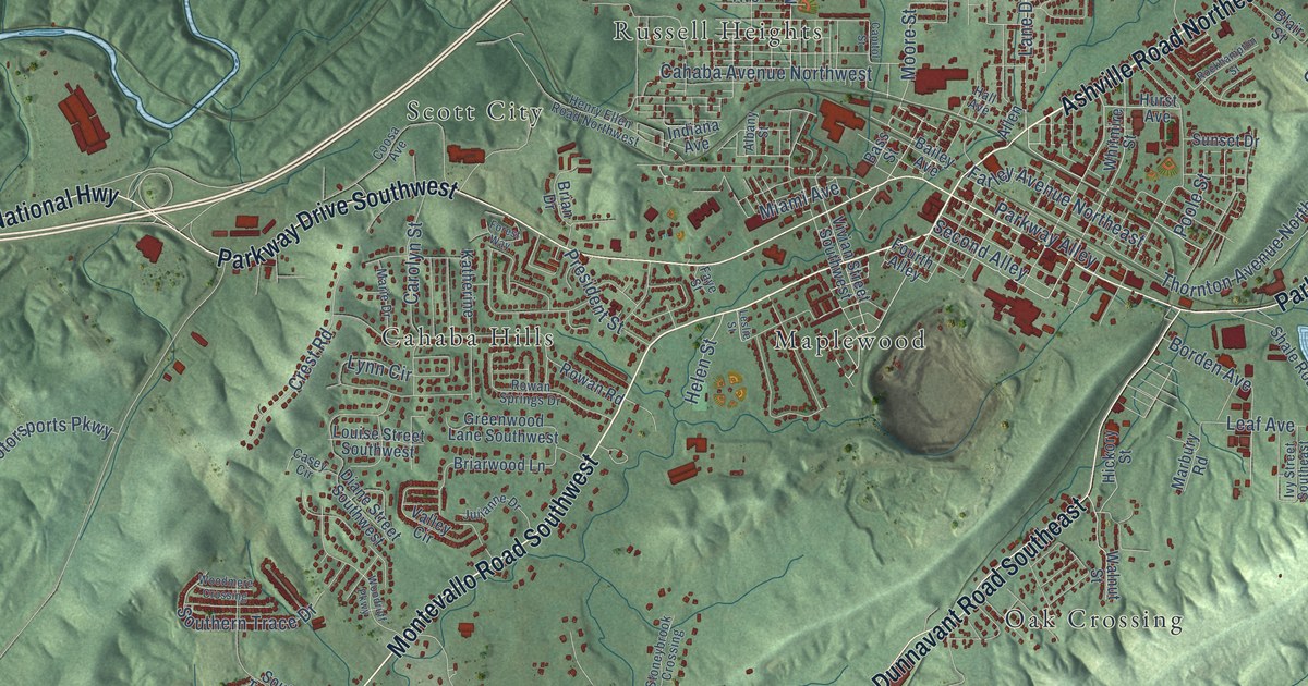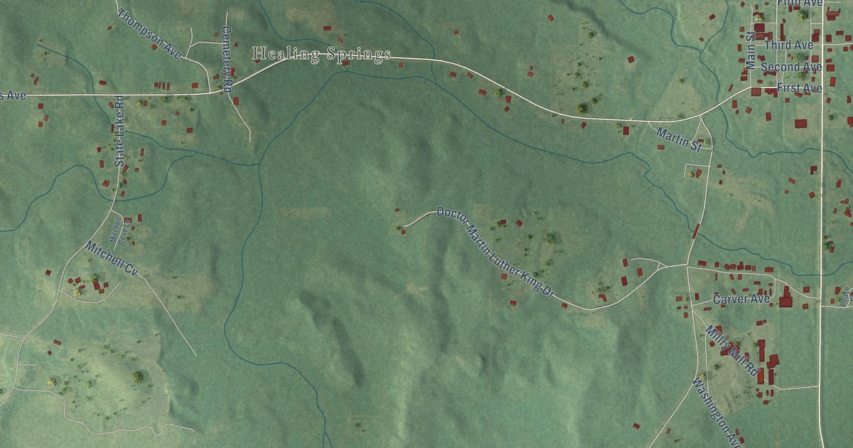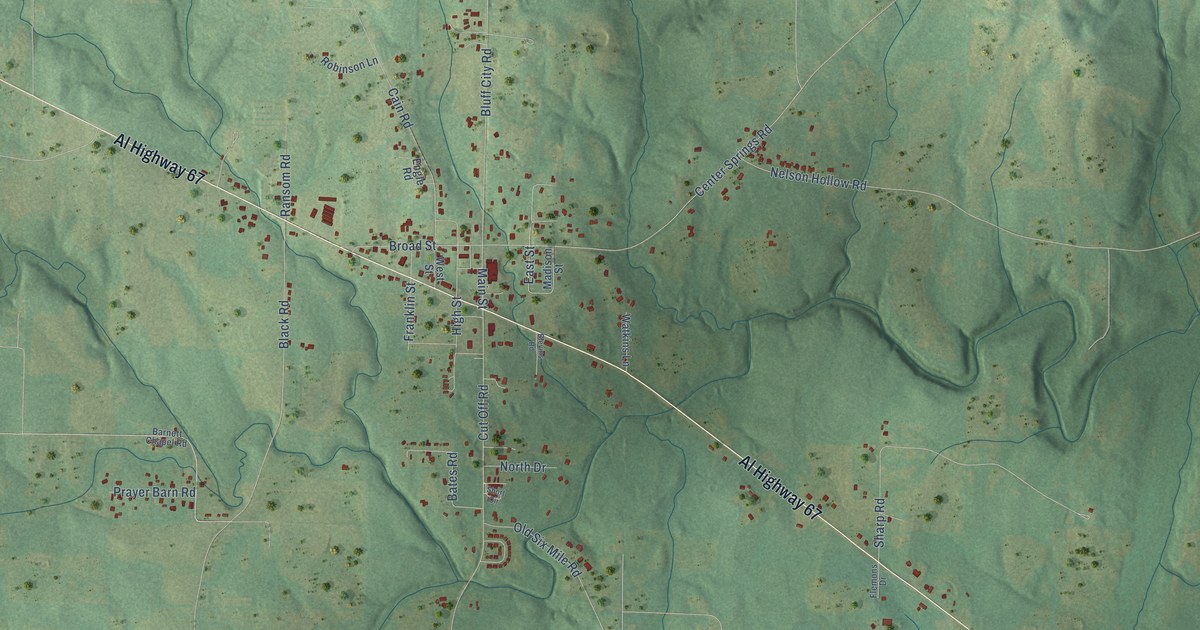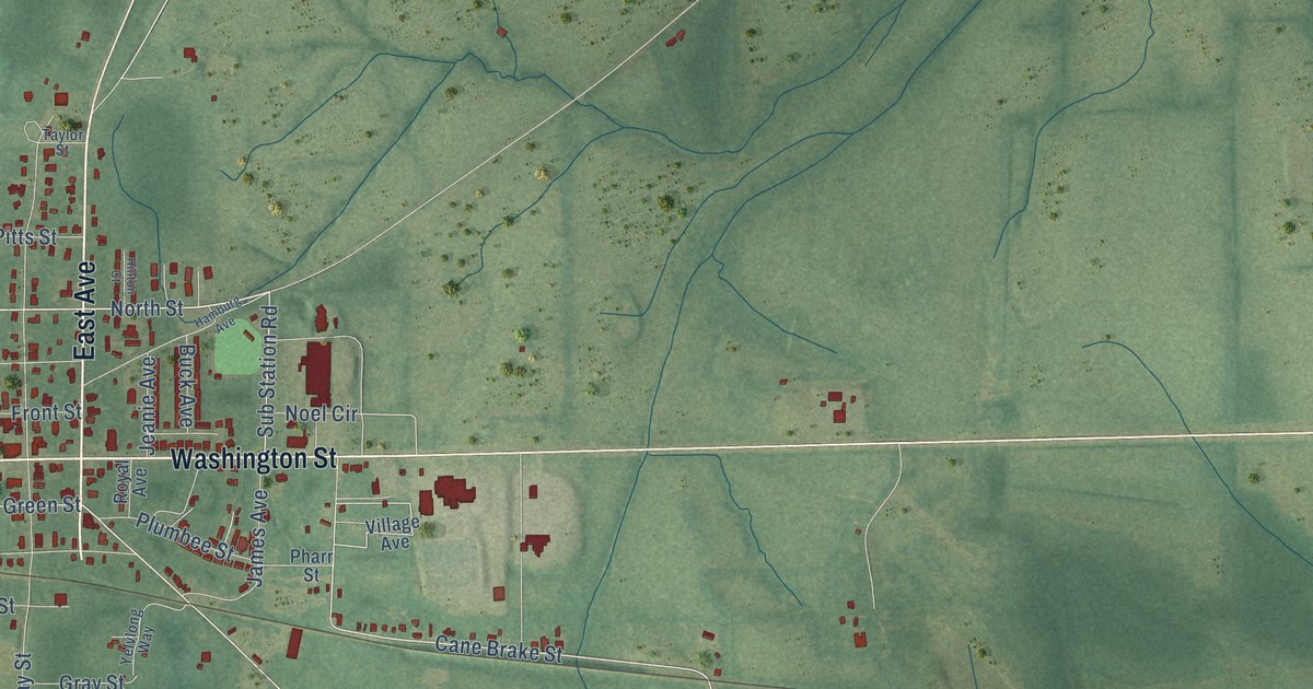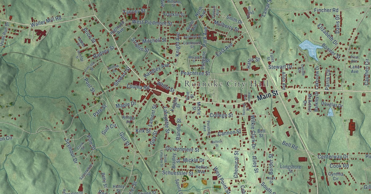
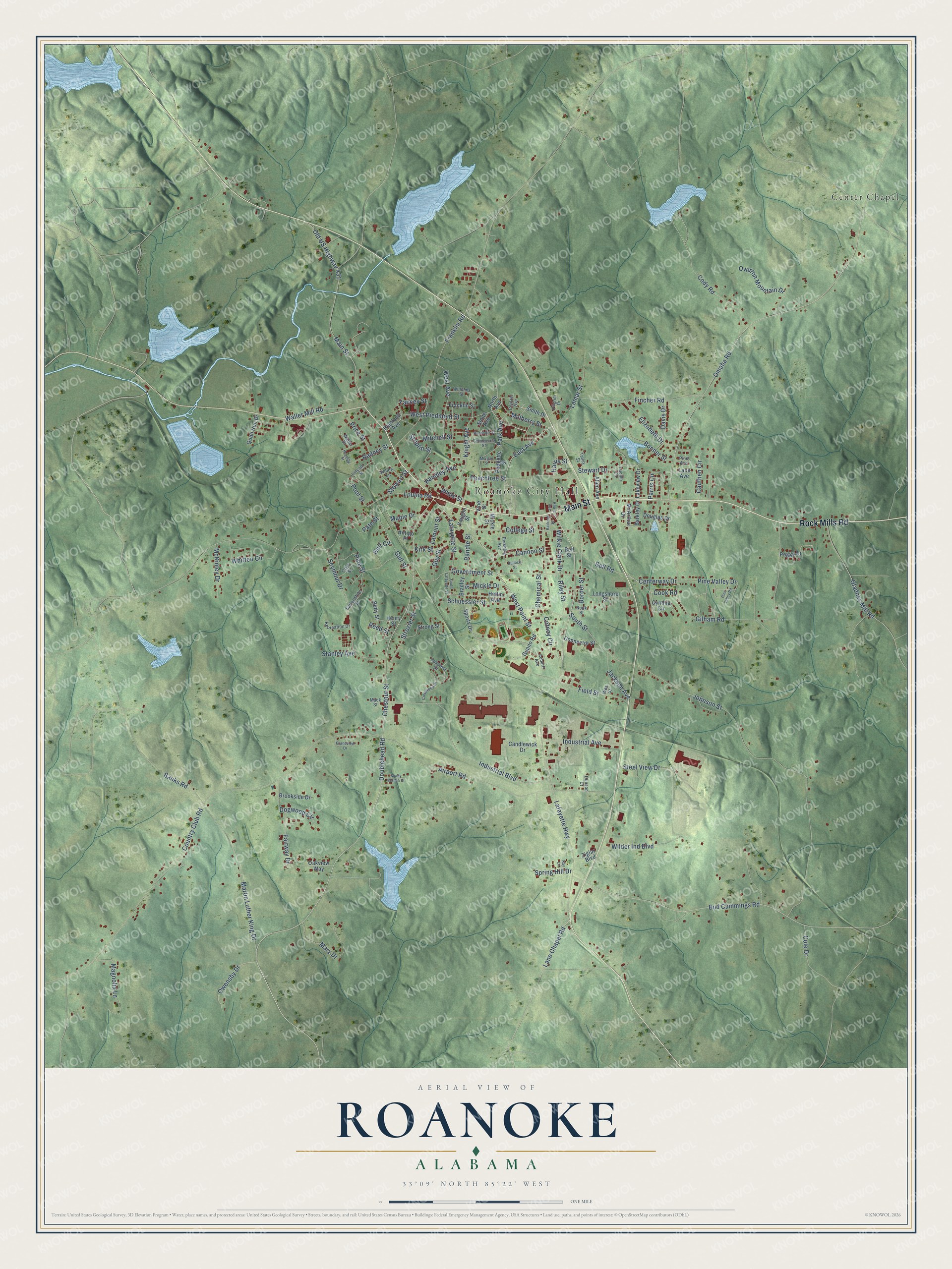
This beautifully detailed map of Roanoke, Alabama was created in 2026 using aerial imagery combined with modern topographical, census, street and landmark data. It's a modern aerial view of Roanoke in Randolph County, Alabama, that combines modern data with a vintage aesthetic. The roads feature printed names, and if you look closely you can find your exact house accurately shown in its correct location.
Explore an aerial view of Roanoke, Alabama
On this map you'll find Roanoke City Hall, Center Chapel, Main Street, Rock Mills Road, Old US Highway 431, Doublehead Road, Chestnut Street, West Point Street, College Street, East Avenue, Guy Street, Pool Street, and more. Each red shape is a building, so zoom in on the preview and look for yours.
Here is a piece of Roanoke history, in the words of the record. The record at encyclopediaofalabama.org puts it this way: "Congressman William Anderson Handley was long-time resident of Roanoke, and politician and educator Arthur Wergs Mitchell (1883-1968) was born in Roanoke."
Roanoke is a city in Randolph County. The Census Bureau counted 5,311 people here in 2020.
Take a closer look at the Roanoke map
Names on this map
These names are printed on this map.
Places: Roanoke City Hall and Center Chapel.
Streets and roads: Main Street, Rock Mills Road, Old US Highway 431, Doublehead Road, Chestnut Street, West Point Street, College Street, East Avenue, Guy Street, Pool Street, Cook Road, Kirk Street.
More street names, A to Z
Airport Road, Allen Avenue, Antigo Place, Auburn Avenue, Banks Road, Barkley Drive, Bell Road, Bell Street, Betty Street, Bonner Street, Border Street, Bradley Street, Brookside Drive, Bud Cummings Road, Bullock Street, Candlewick Drive, Cannon Street, Cauthen Circle, Centerway Drive, Central Avenue, Chemical Street, Clark Street, Cody Road, Cole Drive, Commerce Street, Connector Street, Cotney Circle, Country Club Road, Crestwood Drive, Cynthia Circle, Davis Drive, Dogwood Circle, Douglas Drive, Dunson Court, Elizabeth Drive, Fairway Drive, Field Street, Fincher Road, Franklin Road, Franklin Street, Gilham Road, Gladney Mill Road, Government Street, Grandview Drive, Guano Road, Gulf Circle, Gulf Street, Handley Avenue, Harris Avenue, Harris Street, Heflin Avenue, Henry Street, Highland Avenue, Hornsby Street, Industrial Avenue, Industrial Boulevard, Jackson Avenue, Johnson Street, Kay Lane, Knight Avenue, Lafayette Highway, Lafayette Street, Lakeview Drive, Lamar Street, Lamont Street, Lane Avenue, Lane Chapel Road, Lincoln Street, Longshore Street, Louina Road, Lucille Circle, Mack Street, Magnolia Lane, Maple Drive, Martin Luther King Drive, Mary Drive, McArthur Drive, McKinley Drive, Mickle Drive, Mickle Street, Mitchell Street, Morgan Street, Mulberry Street, Nook Street, North Avenue, Oakcrest Drive, Oakview Way, Omaha Road, Overton Mountain Drive, Owensby Drive, Padgette Street, Park Avenue, Parris Circle, Pate Street, Peachtree Street, Peggy Drive, Pershing Avenue, Pilgrim Drive, Pine Avenue, Pine Street, Pine Valley Drive, Pine Valley Road, Price Street, Quail Run Drive, Radney Street, Railroad Street, Randle Street, Randolph Street, Recreation Drive, Reed Street, Riley Street, Satterwhite Street, Schuessler Street, Seymour Drive, Shady Branch Drive, Smith Drive, South Lafayette Street, South Street, Sports Drive, Spring Hill Drive, Stanley Avenue, Steel View Drive, Stewart Drive, Stewart Street, Stone Avenue, Striplin Street, Strong Street, Strozier Street, Talley Street, Vaughn Street, Vine Street, Waller Drive, Waller Mill Road, Wes Street, West Avenue, West Piedmont Street, White Street, Whitten Circle, Wilder Ind Boulevard, Wilkie Clark Drive, Williams Street, Willow Lane, Yancey Street, Ziglar Boulevard.
Created by KNOWOL in 2026. The buildings are small red shapes, the roads carry their printed names, and shaded relief shows the shape of the land. The title panel reads "AERIAL VIEW OF ROANOKE ALABAMA" with 33°09' NORTH 85°22' WEST.
It suits a den, a classroom or a front hall, and it makes a gift for anyone with Roanoke roots. Open the preview and find the block you know. See sizes and frames for the Roanoke map.