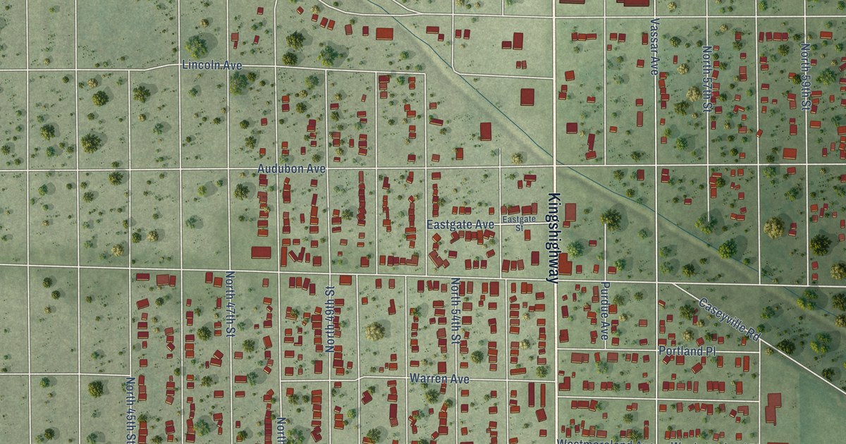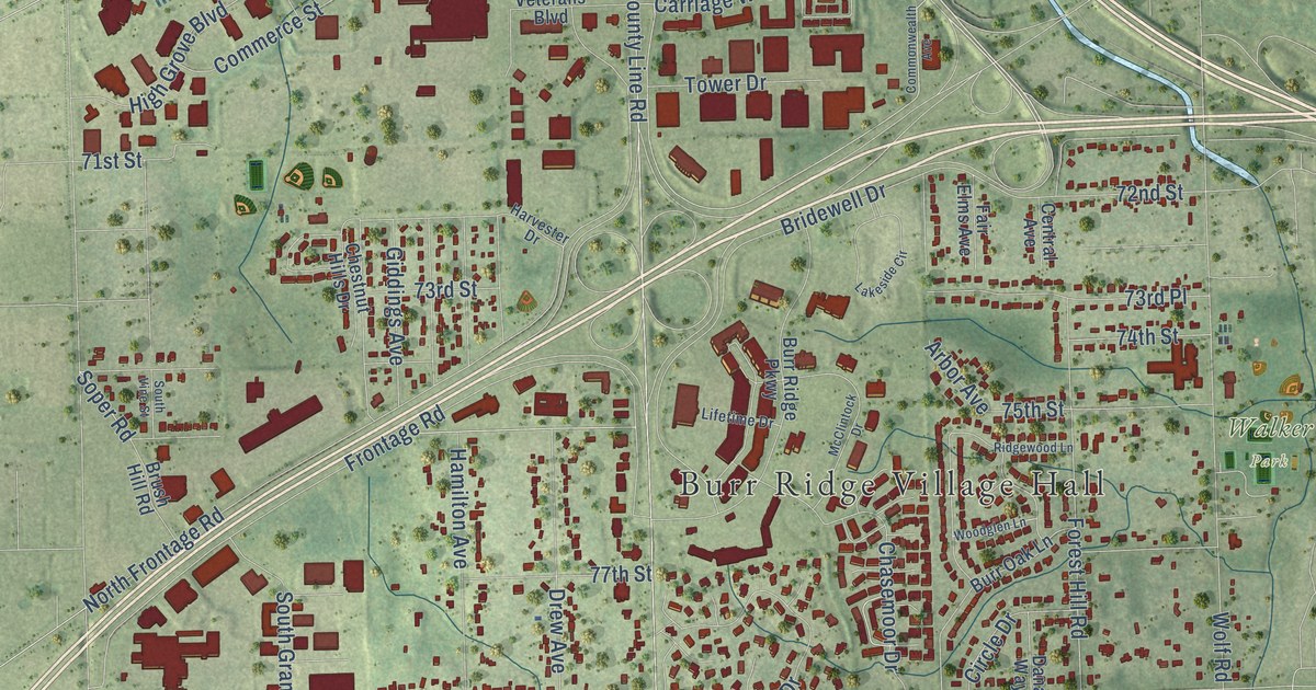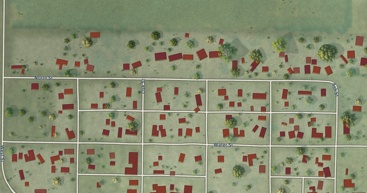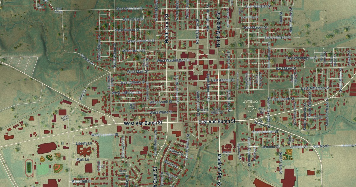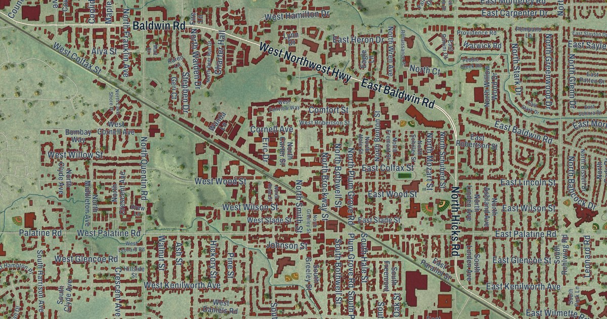
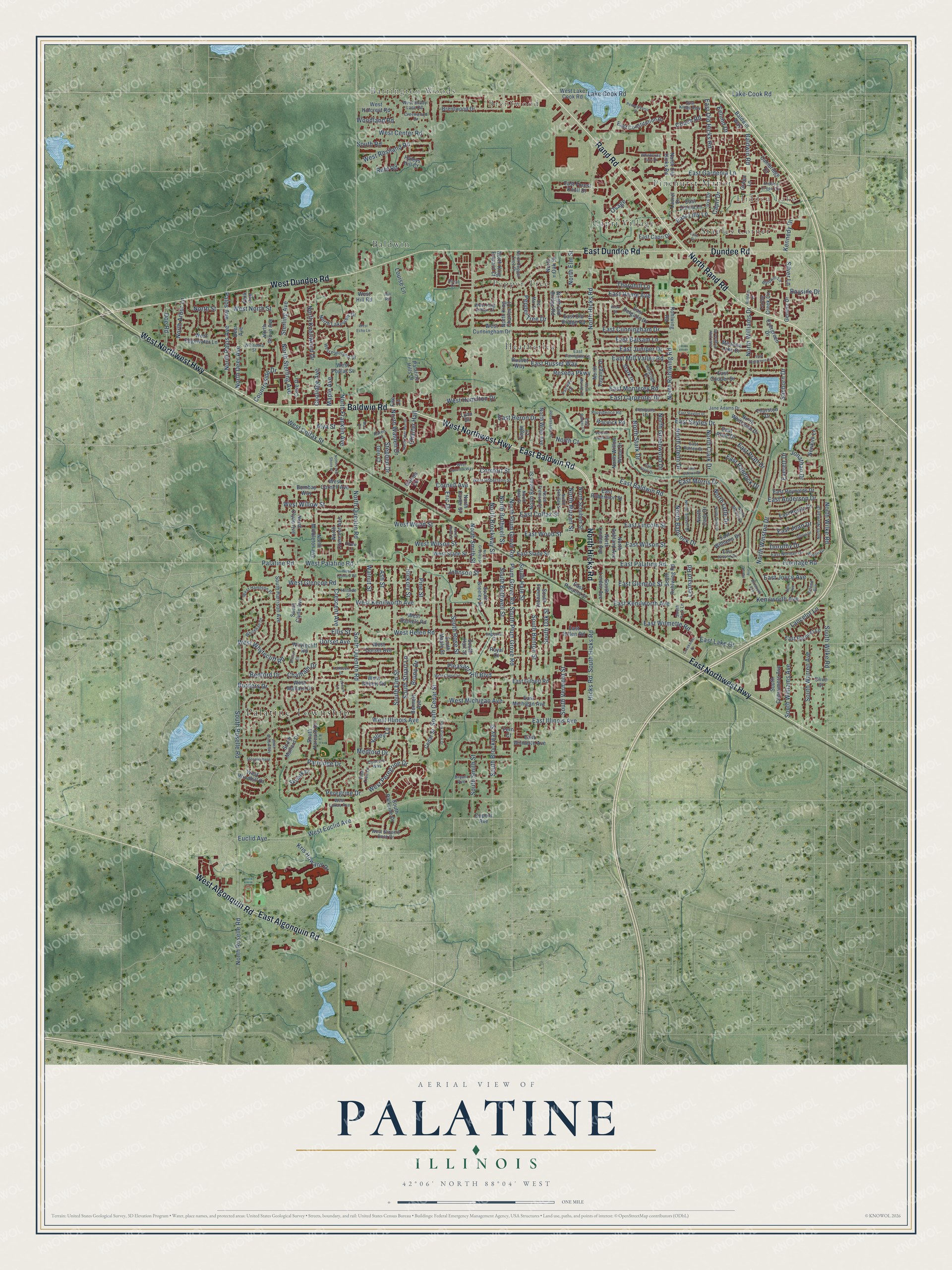
This beautifully detailed map of Palatine, Illinois was created in 2026 using aerial imagery combined with modern topographical, census, street and landmark data. It’s a one-of-a-kind view of Palatine that combines accurate data with a vintage aesthetic. The map shows every building in its true location, many of the roads carry their names, and the shaded topographic relief shows the shape of the land.
Explore an aerial view of Palatine, Illinois
On the map you’ll find Palatine Township, Barrington Woods, Brentwood, Hidden Lake, Aspen Park, Baldwin, Capri Village, Heatherlea, Pepper Tree, Pinehurst Manor, and Staples Corner, along with Rand Road, and more. If you look closely you can even find your house accurately drawn in its correct location. Zoom in on the preview to look for yours.
Did you know this piece of Palatine, Illinois history?
From the Encyclopedia of Chicago: "In 1853, the Illinois & Wisconsin Railroad was constructed across the township. A town emerged around the railroad depot, built just south of the Salt Creek swamp. Some people wanted to call it Yankton, but the name Palatine was adopted, after a town in New York."
Take a closer look at the Palatine map
Street and place names on the Palatine, Illinois map
These names are printed on the map of Palatine, Illinois.
Places: Palatine Township, Barrington Woods, Brentwood, Hidden Lake, Aspen Park, Baldwin, Capri Village, Heatherlea, Pepper Tree, Pinehurst Manor and Staples Corner.
Streets and roads: Rand Road, East Northwest Highway, Baldwin Road, East Baldwin Road, North Hicks Road, West Northwest Highway, East Algonquin Road, West Dundee Road, Dundee Road, East Dundee Road, North Rand Road, West Algonquin Road.
More street names, A to Z
Alison Drive, Alva Street, Arlene Avenue, Ash Street, Baldwin Court, Baldwin Lane, Baldwin Way, Bayside Drive, Bedford Drive, Belle Avenue, Bennett Avenue, Bombay Way, Borders Drive, Brentwood Drive, Bristol Court, Bruno Drive, Bryant Avenue, Cambridge Court, Capri Drive, Cedar Street, Charter Hall, Chatham Drive, Coach Road, Comfort Street, Concord Way, Coolidge Avenue, Cornell Avenue, Countryside Drive, Cove Drive, Creekside Drive, Creekwood Drive, Crescent Avenue, Deer Avenue, Del Mar Drive, Doe Road, Doral Court, Dorothy Drive, Dorset Avenue, Drew Lane, Dupont Avenue, Eagle Lane, East Anderson Drive, East Balsam Lane, East Baronet Lane, East Capri Drive, East Carpenter Drive, East Colfax Street, East Constitution Drive, East Cooper Drive, East Cunningham Drive, East Delgado Drive, East Evergreen Drive, East Farmgate Lane, East Forest Knoll Drive, East Gardenia Lane, East Gilbert Road, East Glencoe Street, East Helen Road, East Heron Drive, East Home Avenue, East Illinois Avenue, East Joan Drive, East Joyce Avenue, East Juniper Drive, East Kenilworth Avenue, East Kings Row, East Kitson Drive, East Lake Drive, East Lilly Lane, East Lincoln Street, East Michigan Avenue, East Mill Valley Road, East Monterey Road, East Morris Drive, East Norman Drive, East Old Bridge Road, East Olde Virginia Road, East Old Hicks Road, East Paddock Drive, East Palatine Road, East Parallel Street, East Patten Drive, East Plate Drive, East Pratt Drive, East Reynolds Drive, East Rimini Court, East Robertson Street, East Rosita Drive, East Russet Way, East Sayles Drive, East Schirra Drive, East Slade Street, East Slayton Drive, East Stark Drive, East Williams Drive, East Wilmette Avenue, East Wilmette Road, East Wilson Street, East Wood Street, East Zinnia Lane, Elizabeth Avenue, Ellis Street, Enlund Drive, Eric Drive, Euclid Avenue, Everett Drive, Evergreen Drive, Fairway Drive, Fern Court, Fire Lane, Frontage Road, Geneva Drive, Geri Court, Gloria Drive, Green Lane, Haleys Hill Court, Harold Avenue, Hickory Street, Hicks Road, Hidden Creek Circle, Hill Road, Hillside Street, Imperial Court, Iris Drive, Jane Adams Drive, Johnson Street, Jonathan Drive, Karen Lane, Kathleen Drive, Kenilworth Avenue, Kennedy Drive, Knox Street, Kris Howard Drive, Lake-Cook Road, Lake Cook Road, Lanark Lane, Lancelot Lane, Laurel Drive, Leonard Road, Lilac Drive, Louise Lane, Lynn Drive, Maple Avenue, Mart Court, Meadow Lake Drive, Medford Drive, Newkirk Lane, North Arbor Lane, North Ashland Avenue, North Babcock Drive, North Benton Street, North Bissell Drive, North Bothwell Street, North Brockway Street, North Cady Drive, North Carter Street, North Clark Drive, North Clyde Avenue, North Court, North Crescent Avenue, North Dean Drive, North Deer Avenue, North Deer Run Drive, North Elm Street, North Franklin Avenue, North Fremont Street, North Glenn Drive, North Greeley Street, North Greenwood Drive, North Grove Avenue, North Hale Street, North King Charles Court, North King Edward Court, North Knollwood Drive, North Lake Shore Drive, North Lakeview Drive, North Linden Avenue, North Lytle Drive, North Marsha Drive, North Middleton Avenue, North Morris Drive, North Mozart Street, North Norman Drive, North Oak Street, North Old Bridge Road, North Old Hicks Road, North Palos Avenue, North Pepper Tree Drive, North Plum Grove Road, North Quentin Road, North Rohlwing Road, North Roselle Road, North Rose Street, North Schiller Street, North Schubert Street, North Smith Street, North Stark Drive, North Sterling Avenue, North Street, North Topanga Drive, North Walden Drive, North Whitcomb Drive, North Wilke Road, North Williams Drive, North Willow Wood Drive, North Winston Drive, North Wren Avenue, Olive Street, Osage, Palatine Hills Drive, Palatine Road, Palos Avenue, Park Avenue, Park Place Drive, Partridge Drive, Pebble Creek Road, Pennsylvania Drive, Pepper Tree Drive, Peregrine Drive, Pine Street, Pleasant Hill Boulevard, Plum Grove Road, Plum Tree Lane, Pompano Lane, Providence Road, Renaissance Place, Reseda Parkway, Rohlwing Road, Royal Court, Ruhl Road, Russet Way, Sanborn Drive, Saratoga Drive, Silver Lane, Skylark Drive, South Benton Street, South Bothwell Street, South Brockway Street, South Cedar Street, South Clyde Avenue, South Consumers Avenue, South Elm Street, South Freemont, South Greeley Street, South Hale Street, South Harrison Avenue, South Hart Street, South Harvard Drive, South Hicks Road, South Linden Avenue, South Mallard Drive, South Maple Street, South Oak Street, South Park Lane, South Parkside Drive, South Plum Grove Road, South Quentin Road, South Road, South Rohlwing Road, South Roselle Road, South Rose Street, South Smith Street, South Stuart Lane, South Vermont Street, South Warren Avenue, South Wilke Road, South Williams Avenue, Stark Drive, Steeplechase, Stephen Drive, Sterling Avenue, Thornhill Lane, Thurston Drive, Turtle Creek Circle, Valley Lane, Walnut Street, Wanda Lane, Warwick Road, West Center Road, West Cheryl Lane, West Colfax Street, West Cornell Avenue, West Cunningham Drive, West Daniels Road, West Dorset Avenue, West Echo Lane, West Edgewater Lane, West Euclid Avenue, West Fairview Way, West Gilbert Road, West Glencoe Road, West Hamilton Drive, West Hampton Place, West Helen Road, West Hillcrest Road, West Hill Road, West Illinois Avenue, West Kenilworth Avenue, West King Arthur Court, West Lake Cook Road, West Leonard Road, West Lukas Avenue, West Mallard Drive, West Michigan Avenue, West North Street, West Palatine Road, West Panorama Drive, West Peregrine Drive, West Poplar Street, West Robertson Street, West Rosiland Road, West Shady Lane Road, West Slade Street, West Slippery Rock Drive, West Whytecliff Road, West Willow Street, West Wilson Street, West Windhill Drive, West Wood Street, Whispering Oaks Drive, Whitehall Drive, White Willow Bay, Whytecliff Road, Winnetka Street, Woodland Road.
See the Palatine, Illinois map on a wall
The Palatine map as an 18 x 24 inch print in a black frame.

This beautifully detailed map of Palatine makes an attractive addition to your office, library, or den, and it can even be used to teach children the geography and history of the area. It also makes a great gift for anyone with Palatine roots. When you’re done exploring, click here to get your copy of the Palatine map.