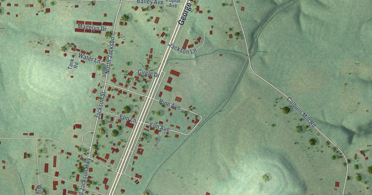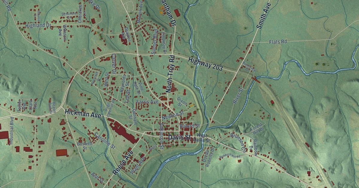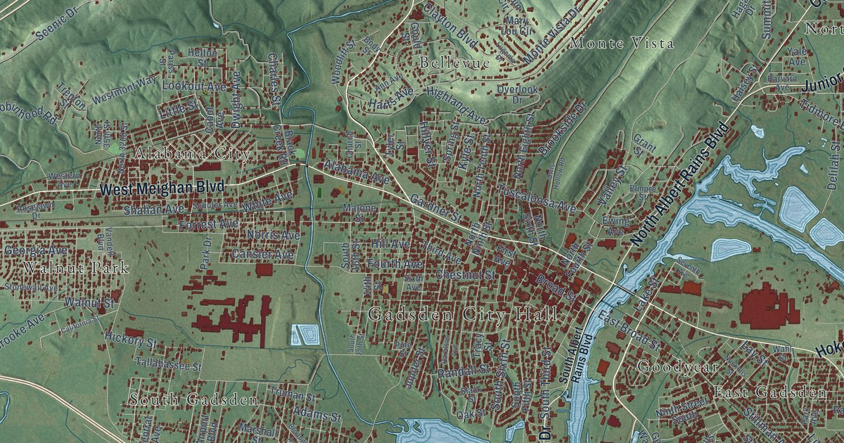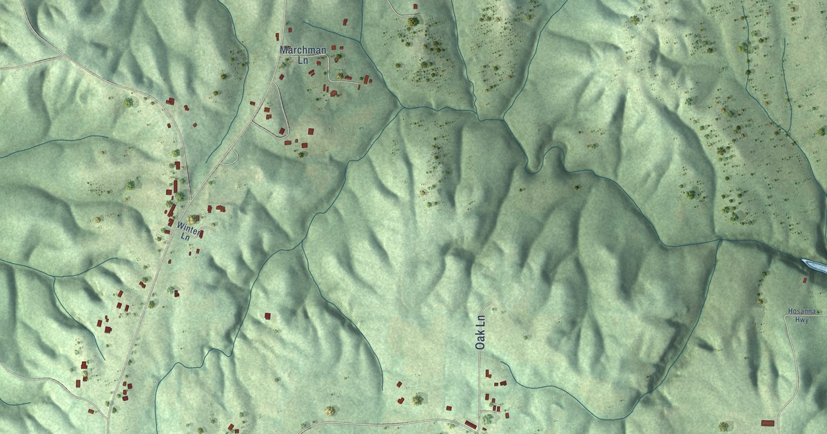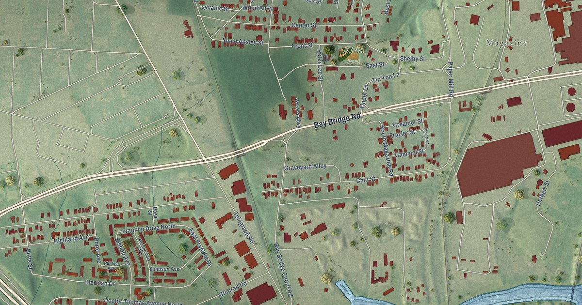
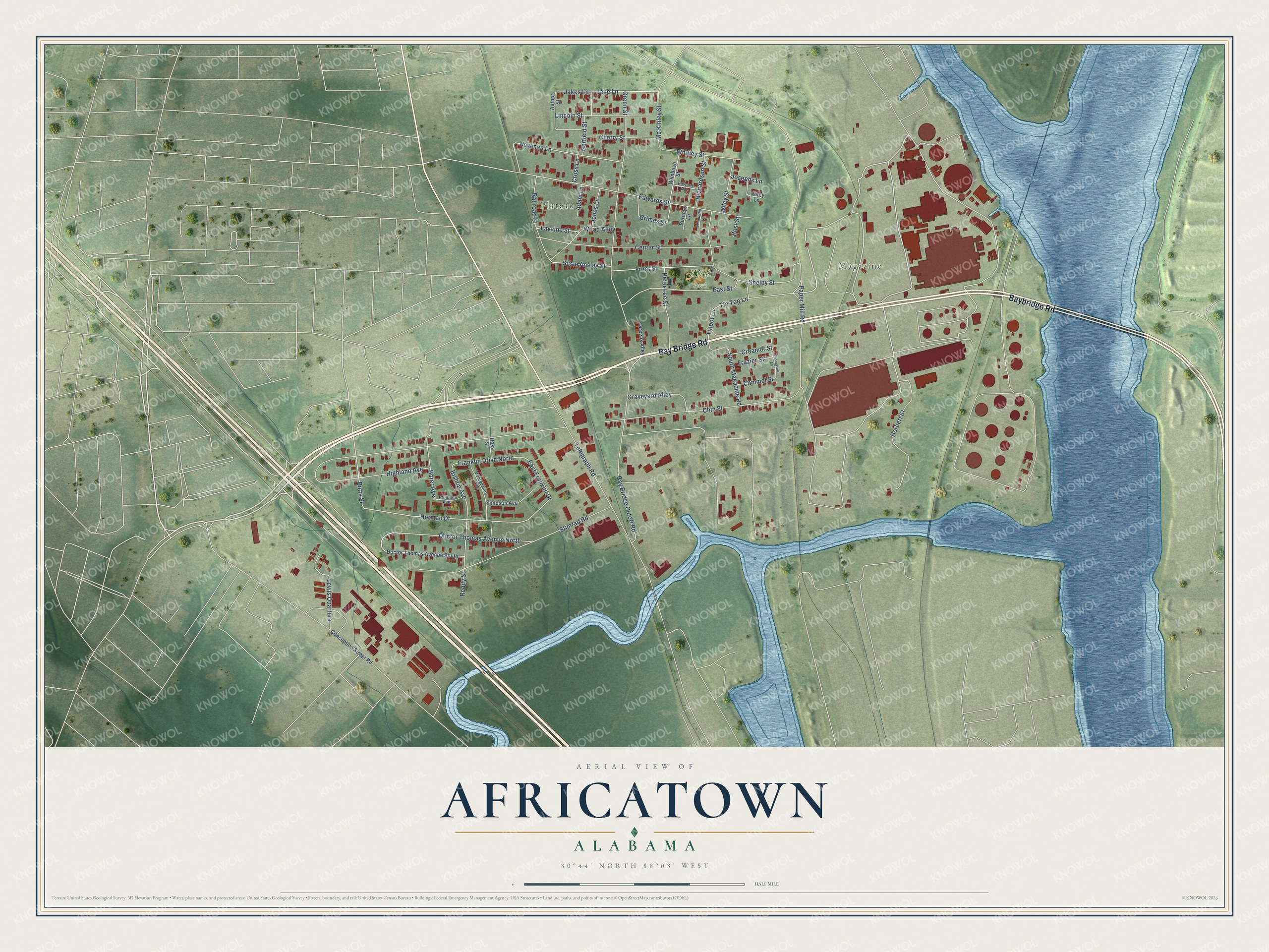
This beautifully detailed map of Africatown, Alabama was created in 2026 using aerial imagery combined with modern topographical, census, street and landmark data. It's a modern aerial view of Africatown in Mobile County, Alabama, that combines modern data with a vintage aesthetic. The roads feature printed names, and if you look closely you can find your exact house accurately shown in its correct location.
Explore an aerial view of Africatown, Alabama
On this map you'll find Plateau, Magazine, Kidd Park, Bay Bridge Road, Baybridge Road, Butts Street, Herman Drive, Bishop Avenue, East Franklin Drive, Lavaine Street, Mc Kinley Street, Borer Avenue, and more. Each red shape is a building, so zoom in on the preview and look for yours.
Here is a piece of Africatown history, in the words of the record. The record at encyclopediaofalabama.org puts it this way: "Africatown (also spelled AfricaTown and African Town) is a small Mobile neighborhood established by many of the people who arrived on the Clotilda , the last documented slave ship to reach the United States."
Africatown is a place in Mobile County.
Take a closer look at the Africatown map
Names on this map
These names are printed on this map.
Places: Plateau, Magazine and Kidd Park.
Streets and roads: Bay Bridge Road, Baybridge Road, Butts Street, Herman Drive, Bishop Avenue, Franklin Drive North, East Franklin Drive, Lavaine Street, Mc Kinley Street, Borer Avenue, Chin Street, Edwards Street.
More street names, A to Z
Adam Lane, Author Street, Bay Bridge Cutoff Road, Best Street, Burneys Lane, Cammel Street, Center Street, Cherry Street, Conception Street Road, Creamer Street, Cross Lane, Doctor Thomas Avenue North, Doctor Thomas Avenue South, East Street, Edward Avenue, Frazier Street, Front Street, Garfield Street, Graveyard Alley, Greens Alley, Green Street, Grimes Street, Herbert Street, Highland Avenue, Jake Lane, Jakes Lane, Jones Lane, Josephs Lane, Lewis Quarters, Lincoln Street, Montgomery Avenue, Newman Lane, Paper Mill Road, Peter Lee Street, Phillips Avenue, Railroad Street, Reddy Street, Richardson Street, Ross Street, Shelby Street, Simpson Avenue, South Magazine Road, Stimrad Road, Summerlin Lane, Susie Ansley Street, Telegraph Road, Thompson Lane, Tinpot Lane, Tin Top Lane, Whitley Street, Wiley Lane, Wiley Street, Wimbush Street, Wood Alley.
Created by KNOWOL in 2026. The buildings are small red shapes, the roads carry their printed names, and shaded relief shows the shape of the land. The title panel reads "AERIAL VIEW OF AFRICATOWN ALABAMA" with 30°44' NORTH 88°03' WEST.
It suits a den, a classroom or a front hall, and it makes a gift for anyone with Africatown roots. Open the preview and find the block you know. See sizes and frames for the Africatown map.