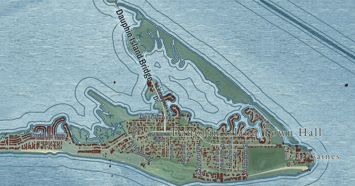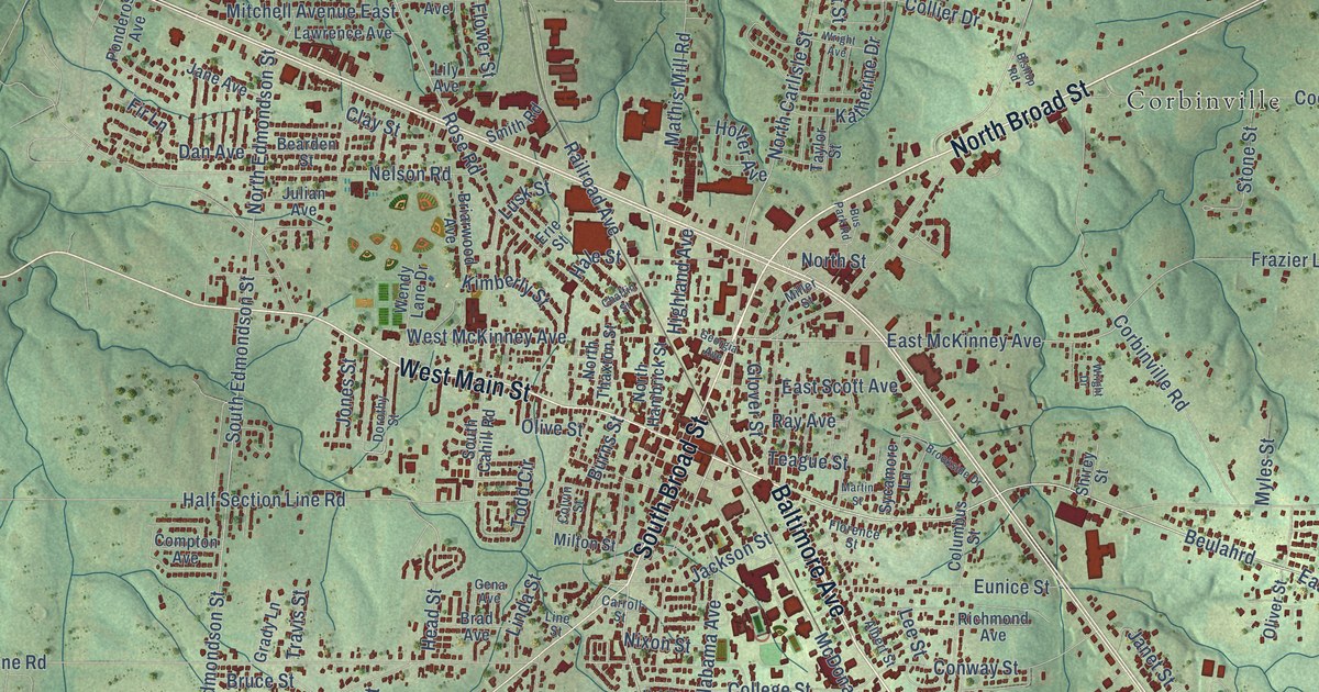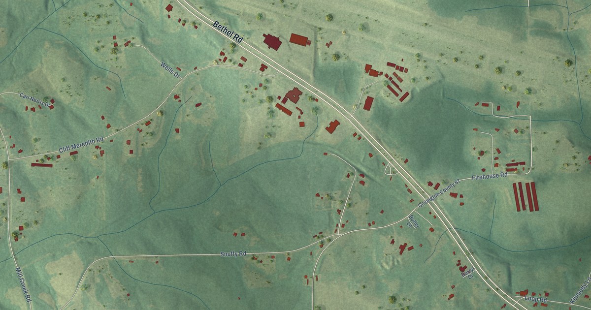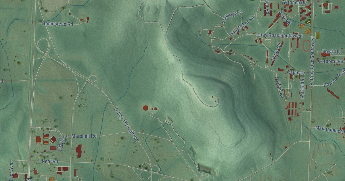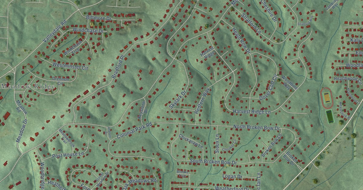
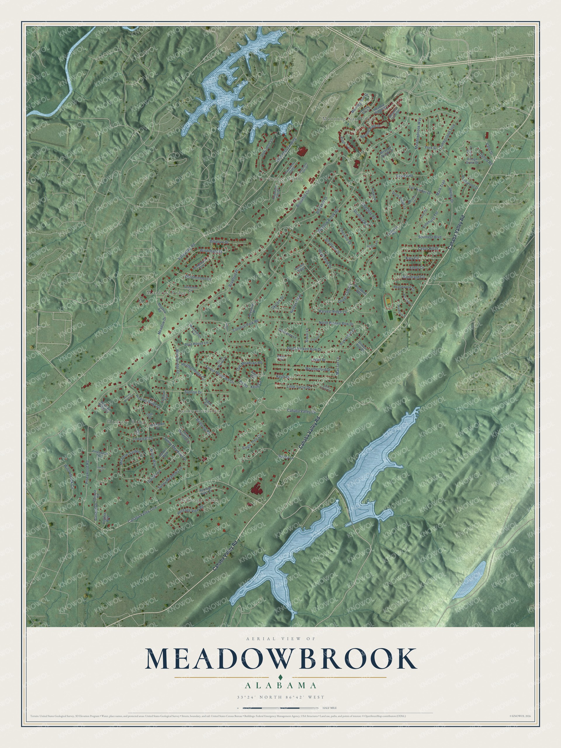
This beautifully detailed map of Meadowbrook, Alabama was created in 2026 using aerial imagery combined with modern topographical, census, street and landmark data. It’s a one-of-a-kind view of Meadowbrook that combines accurate data with a vintage aesthetic. The map shows every building in its true location, many of the roads carry their names, and the shaded topographic relief shows the shape of the land.
Explore an aerial view of Meadowbrook, Alabama
On the map you’ll find Heritage Oaks, Hickory Ridge, Inverness Cliffs, Meadow Ridge, Morning Sun Villas, Sunnymeadows, and Keith Cv, along with Cahaba Valley Road, Redfern Way, Harvest Ridge Lane, Keith Drive, Meadow Drive, and more. If you look closely you can even find your house accurately drawn in its correct location. Zoom in on the preview to look for yours.
Did you know this piece of Meadowbrook, Alabama history?
From the Meadow Brook Baptist Church: "Meadow Brook Baptist Church began in the early 1980's, when the Lord led Crosscreek Baptist Church and the Shelby Baptist Association to start a mission church on the Highway 280 corridor."
Take a closer look at the Meadowbrook map
Street and place names on the Meadowbrook, Alabama map
These names are printed on the map of Meadowbrook, Alabama.
Places: Heritage Oaks, Hickory Ridge, Inverness Cliffs, Meadow Ridge, Morning Sun Villas and Sunnymeadows.
Streets and roads: Cahaba Valley Road, Redfern Way, Harvest Ridge Lane, Keith Drive, Meadow Drive, Keith Cv, Heatherhedge Circle, Meadow Brook Road, Valleydale Road, Cahaba Valley Trce, Brookhill Drive, Bradford Place.
More street names, A to Z
Andover Drive, Biltmore Drive, Birdsong Road, Broken Bow Drive, Broken Bow Lane, Brooke Trce, Brookhill Circle, Cahaba Valley Cv, Cambridge Way, Cedar Circle, Cedar Hill Drive, Cedarshed Cv, Cheltham Lane, Cherokee Circle, Cheshire Drive, Cheshire Road, Chickasaw Lane, Colonial Park Road, Cumberland Trce, Cyrus Circle, Dover Cliff Circle, Drennen Circle, Emily Circle, Forest Meadow Drive, Forest Meadows Circle, Garden Lane, Garden Walk, Garland Circle, Garland Drive, Garland Road, Harvest Ridge, Hearthwood Circle, Hearthwood Lane, Heath Row Drive, Heritage Oaks Circle, Heritage View Road, Hickory Ridge Drive, Inverness Clfs Court, Inverness Clfs Drive, Inverness Landing, Inverness Lane, Katy Circle, Keith Circle, Keswick Circle, Keystone Drive, Little Turtle Circle, Little Turtle Drive, Loblolly Drive, Logan Drive, Longleaf Lane, Mac Ian Lane, Mark Trail, Meadow Brook Circle, Meadowbrook Trail, Meadowbrook Way, Meadow Croft Drive, Meadow Garden Lane, Meadowood Drive, Meadow Ridge Drive, Meadow Ridge Road, Meadow Road, Memory Brook Circle, Morning Sun Circle, Morning Sun Drive, Mountain Ridge Circle, Nevinshire Place, North Broken Bow Drive, Oak Meadows Road, Old Tavern Road, Oxford Road, Pinehurst Terrace, Pineywood Road, Pineywood Trce, Pit Road, Post House Lane, Ridge Trail, Robin Circle, Shelby Drive, Single Tree Circle, Sioux Lane, Skylark Drive, South Broken Bow Drive, Southern Boulevard, Stone Bridge Lane, Stratford Lane, Stratford Road, Stratford Way, Sunny Meadows Court, Sunny Meadows Drive, Sunny Meadows Lane, Sunrise Drive, Surrey Lane, Sussex Road, Tall Timber Drive, Tamarac Trce, Vann Drive, Village Green Drive, Virginia Way, Weatherford Drive, Westminster Circle, Willowbrook Circle, Willow Way, Windchase Drive, Windchase Trce, Woodbine Way, Woodbridge Drive, Woodland Circle, Woodridge Lane, York Street.
See the Meadowbrook, Alabama map on a wall
The Meadowbrook map as an 18 x 24 inch print in a black frame.

This beautifully detailed map of Meadowbrook makes an attractive addition to your office, library, or den, and it can even be used to teach children the geography and history of the area. It also makes a great gift for anyone with Meadowbrook roots. When you’re done exploring, click here to get your copy of the Meadowbrook map.