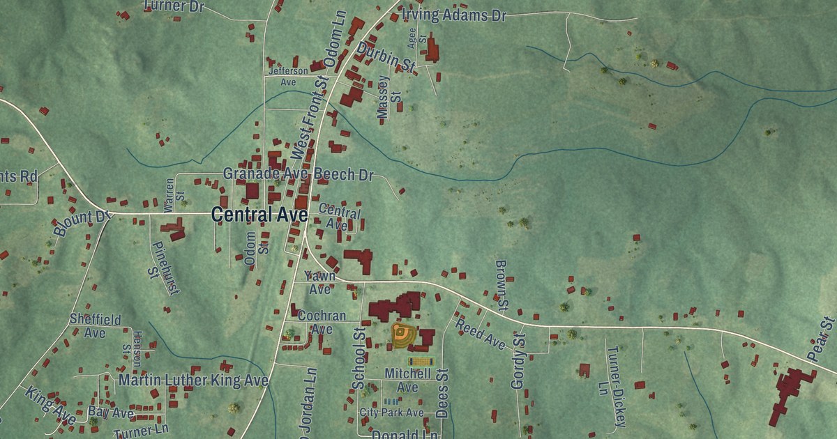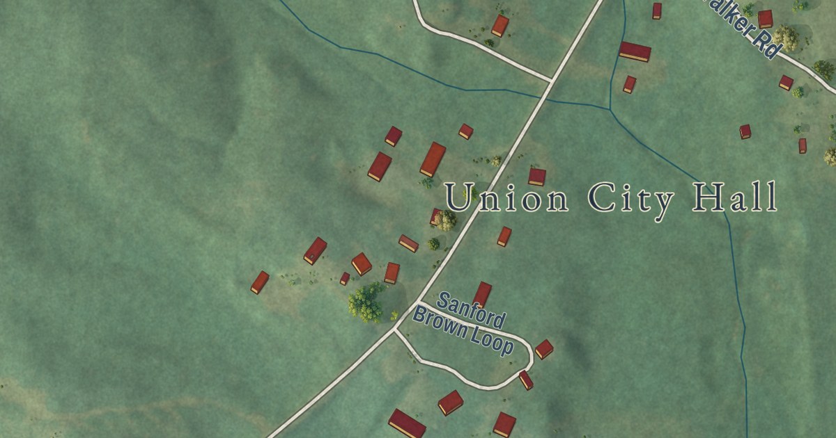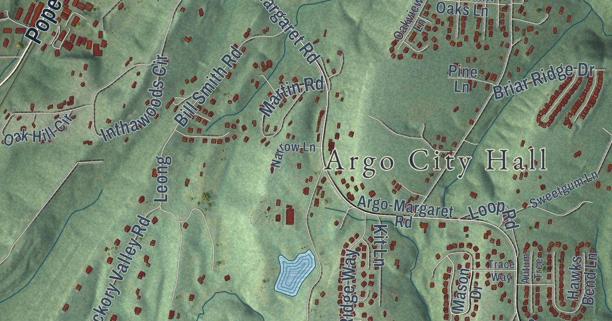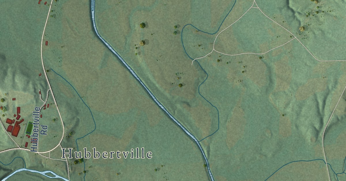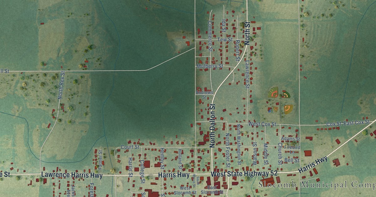
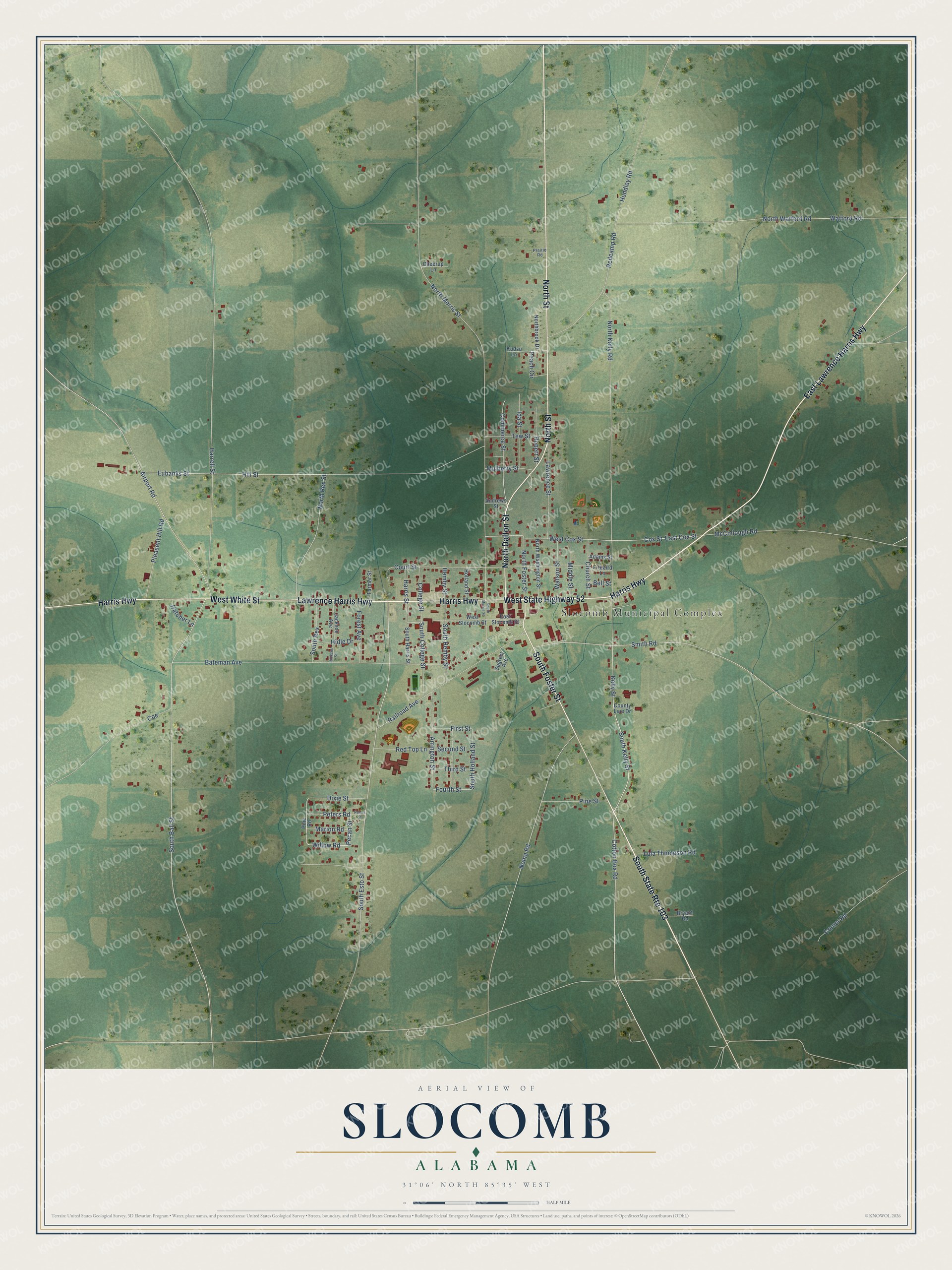
This beautifully detailed map of Slocomb, Alabama was created in 2026 using aerial imagery combined with modern topographical, census, street and landmark data. It’s a one-of-a-kind view of Slocomb that combines accurate data with a vintage aesthetic. The map shows every building in its true location, many of the roads carry their names, and the shaded topographic relief shows the shape of the land.
Explore an aerial view of Slocomb, Alabama
On the map you’ll find Slocomb Municipal Complex, along with South Foster Street, East Lawrence Harris Highway, North Dalton Street, West White Street, Harris Highway, West State Highway 52, Lawrence Harris Highway, North Street, Cotton Box Road, Peters Road, Pecan Street, and more. If you look closely you can even find your house accurately drawn in its correct location. Zoom in on the preview to look for yours.
Did you know this piece of Slocomb, Alabama history?
Slocomb takes its name from Frank W. Slocomb, the local postmaster. The town incorporated in 1901. It calls itself the home of the tomato, and the high school teams are the Redtops.
Take a closer look at the Slocomb map
Street and place names on the Slocomb, Alabama map
These names are printed on the map of Slocomb, Alabama.
Places: Slocomb Municipal Complex.
Streets and roads: South Foster Street, East Lawrence Harris Highway, South State Route 103, North Dalton Street, West White Street, Harris Highway, West State Highway 52, Lawrence Harris Highway, North Street, Cotton Box Road, Peters Road, Pecan Street.
More street names, A to Z
Adams Street, Airport Road, Andrews Street, Arrington Street, Bateman Avenue, Bell Street, Bryant Road, Cheerup Lane, Church Street, Coe, College Street, Commerce Street, Corner Road, County Line Drive, Court Street, Cox Street, Dixie Street, East Cox Street, East Slocomb Street, Eubanks Street, Farmer Street, Firebird Lane, First Street, Forest Avenue, Fourth Street, Harrell Street, Harris Street, Hatcher Lane, Hemby Street, Hidle Drive, Hill Street, Holland Street, Hundley Road, Ida Street, Jackson Avenue, Jackson Street, Kelly Street, Kudzu Lane, Lawrence Street, Lula Thompson Road, Marion Road, McCollough Road, Middle Street, Mulberry Street, Noma Road, Northbrook Drive, North Foster Street, North Kelly Road, North Morris Street, North Rex Street, North Washington Street, North Watford Road, Peach Circle, Peters Street, Pine Road, Pine Street, Pleasent Hill Road, Prairie Road, Railroad Avenue, Redcamp Road, Red Top Lane, Robert Street, Second Street, Segrest Avenue, Smith Road, South Ball Street, South College Street, South Esto Street, South Harris Street, South Hemby Street, South Holland Street, South Kelly Street, South Morris Street, South Rex, Tew Street, Third Street, Watford Road, Watson Street, West Cox Street, West Slocomb Street, Willow Road.
See the Slocomb, Alabama map on a wall
The Slocomb map as an 18 x 24 inch print in a black frame.

This beautifully detailed map of Slocomb makes an attractive addition to your office, library, or den, and it can even be used to teach children the geography and history of the area. It also makes a great gift for someone who left Slocomb and still calls it home. When you’re done exploring, click here to get your copy of the Slocomb map.