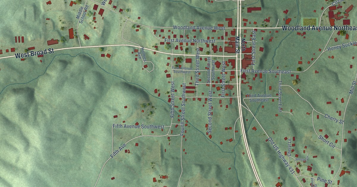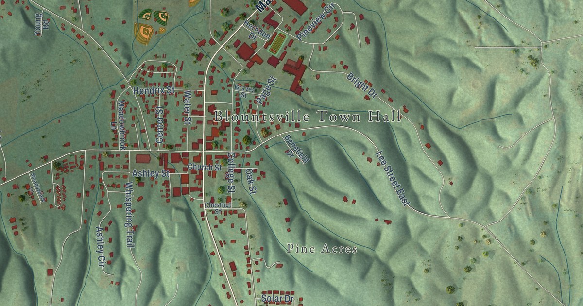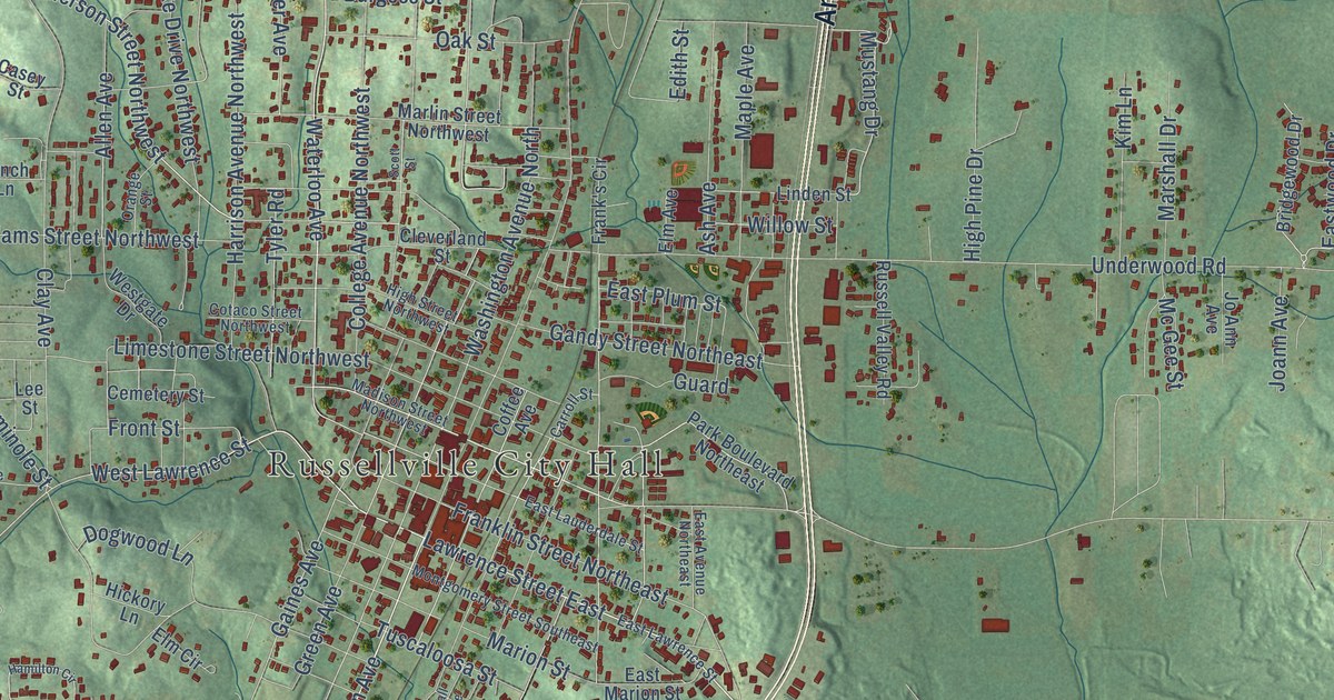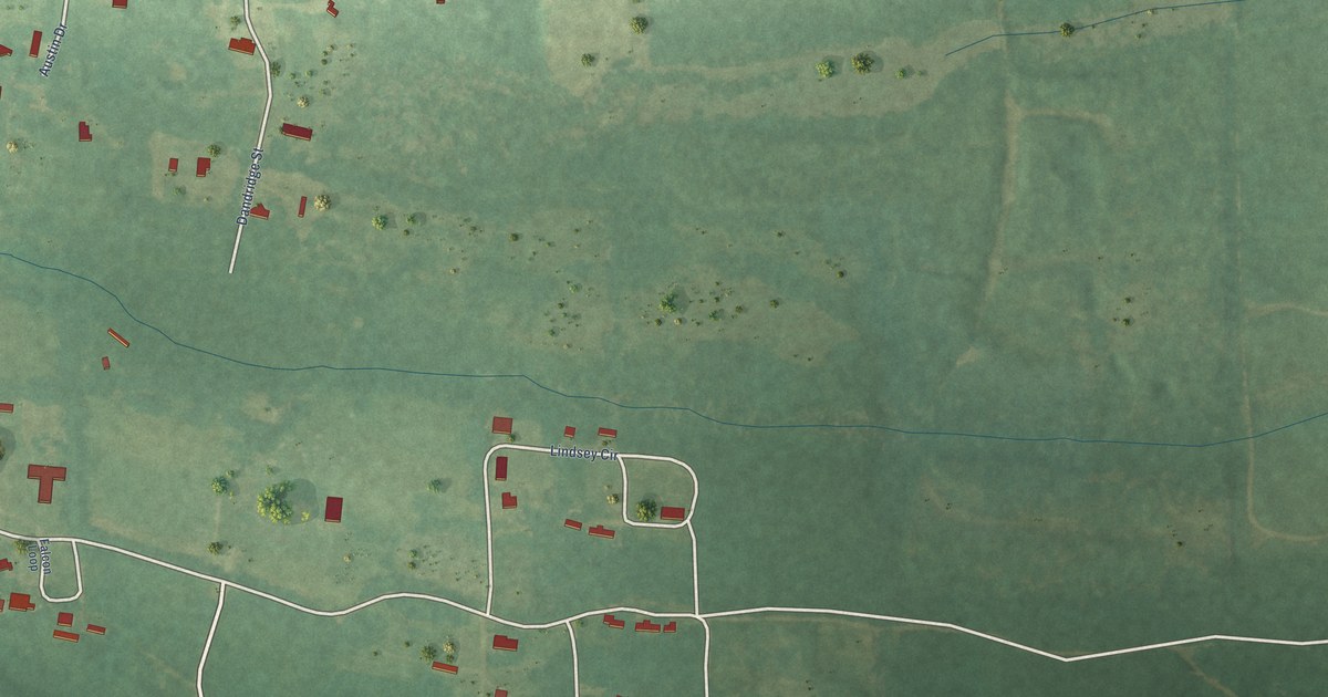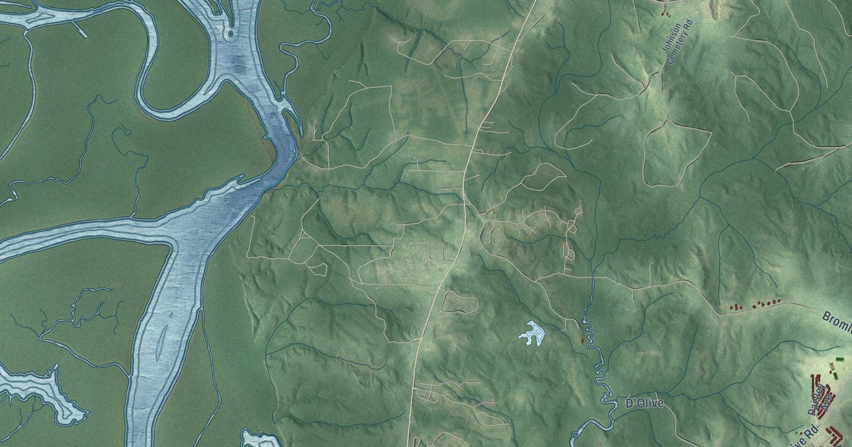
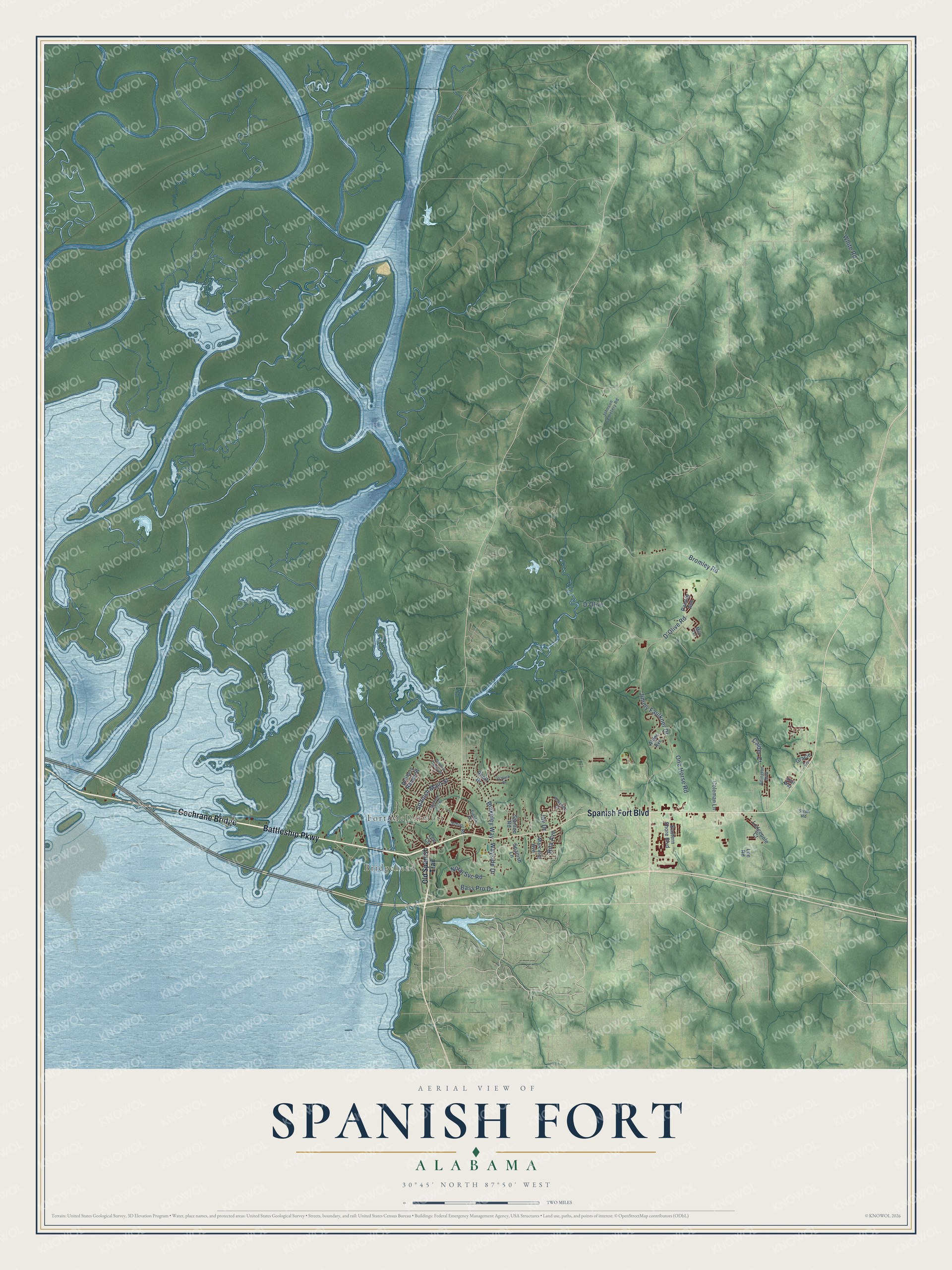
This beautifully detailed map of Spanish Fort, Alabama was created in 2026 using aerial imagery combined with modern topographical, census, street and landmark data. It's a modern aerial view of Spanish Fort in Baldwin County, Alabama, that combines modern data with a vintage aesthetic. The roads feature printed names, and if you look closely you can find your exact house accurately shown in its correct location.
Explore an aerial view of Spanish Fort, Alabama
On this map you'll find Fort McDermott, Bridgehead, Cochrane Bridge, Battleship Parkway, Spanish Fort Boulevard, Jimmy Faulkner Drive, Bromley Road, White Road, D'Olive Road, Spanish Main Street, Blakeley Way, One Horse Road, and more. Each red shape is a building, so zoom in on the preview and look for yours.
Spanish Fort has a story worth telling. The record at encyclopediaofalabama.org puts it this way: "In January 1781, approximately 150 Spanish troops, according to one account, successfully defended the fort during a day-long battle against a British force of 100 regular and provincial troops and perhaps 300 to 500 Indians (many Chickasaws , Choctaws , and Creeks opposed Spanish rule), reinforced by British warships."
Spanish Fort is a city in Baldwin County. The Census Bureau counted 10,049 people here in 2020.
Take a closer look at the Spanish Fort map
Names on this map
These names are printed on this map.
Places: Fort McDermott and Bridgehead.
Streets and roads: Cochrane Bridge, Battleship Parkway, Spanish Fort Boulevard, Jimmy Faulkner Drive, Bromley Road, White Road, D'Olive Road, Spanish Main Street, Blakeley Way, One Horse Road, Bass Pro Drive, D'Olive.
More street names, A to Z
Alder Avenue, Ariel Way, Arlington Boulevard, Artillery Range Street, Caisson Trce, Calder Court, Coleman Lane, Eastern Shore Boulevard, Fiesta Drive, General Canby Drive, Gracie Lane, Jay Drive, Johnson Cemetery Road, Lee Circle, Lee Road, Lodgepole Court, Marcella Avenue, Milo Terrace, North Svc Road, O'Hara Drive, Old Spanish Trail, Paisley Avenue, Rhett Drive, Rita Avenue, School Road, Spanish Lane, Stanton Road, Stroh Road, Wakefield Drive, Wayside Drive.
Created by KNOWOL in 2026. The buildings are small red shapes, the roads carry their printed names, and shaded relief shows the shape of the land. The title panel reads "AERIAL VIEW OF SPANISH FORT ALABAMA" with 30°45' NORTH 87°50' WEST.
It looks right in a kitchen, an office or a den, and it's a gift for anyone who grew up in Spanish Fort or moved away. Open the preview and find your street. See sizes and frames for the Spanish Fort map.