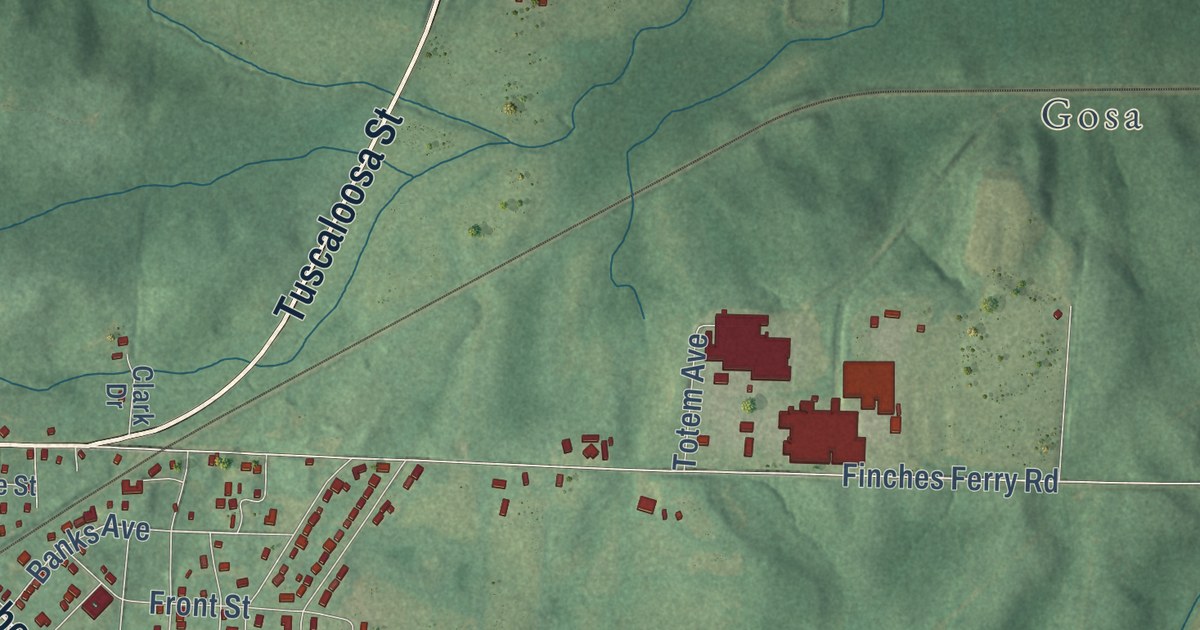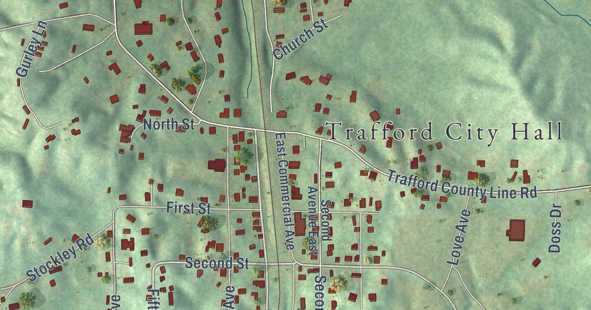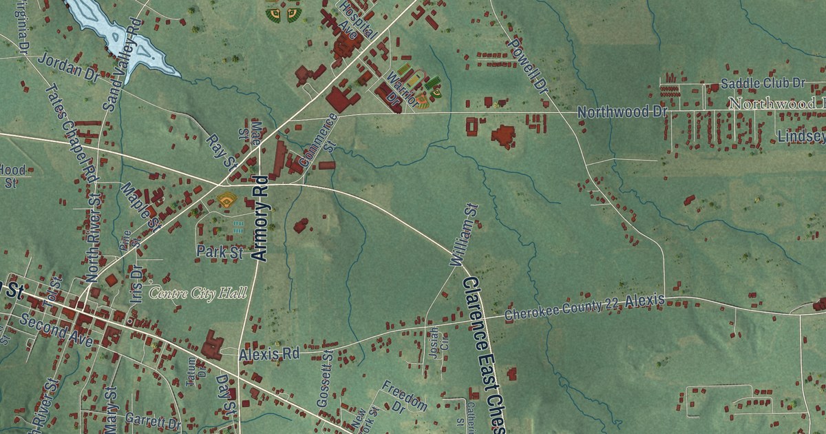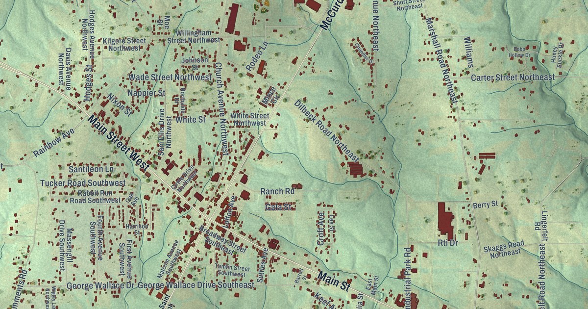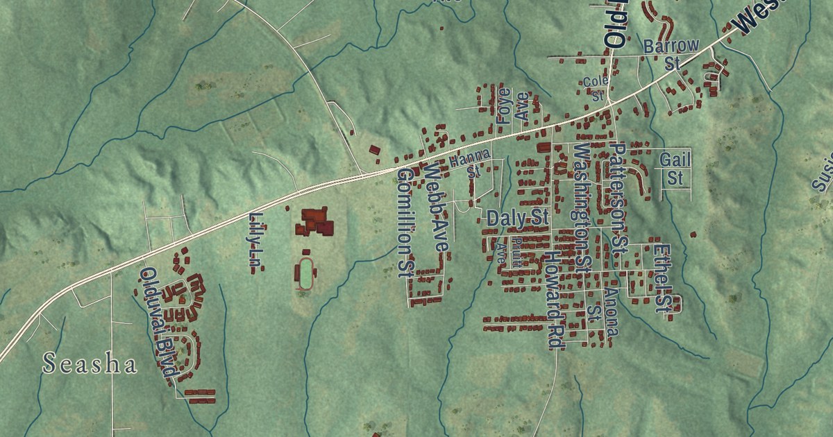
This beautifully detailed map of Tuskegee, Alabama was created in 2026 using aerial imagery combined with modern topographical, census, street and landmark data. It’s a one-of-a-kind view of Tuskegee that combines accurate data with a vintage aesthetic. The map shows every building in its true location, many of the roads carry their names, and the shaded topographic relief shows the shape of the land.
Explore an aerial view of Tuskegee, Alabama
On the map you’ll find Clough, Seasha, and Chehaw, along with Lane Street, North Main Street, South Main Street, West Martin Luther King Highway, East Martin Luther King Highway, Old Montgomery Road, Notasulga Road, Hospital Road, Ashdale Road, and more. If you look closely you can even find your house accurately drawn in its correct location. Zoom in on the preview to look for yours.
Did you know this piece of Tuskegee, Alabama history?
From Encyclopediaofalabama.org: "The city was officially incorporated in 1843, and the first local newspaper, the Tuskegee News, was first published in April 1865."
Take a closer look at the Tuskegee map
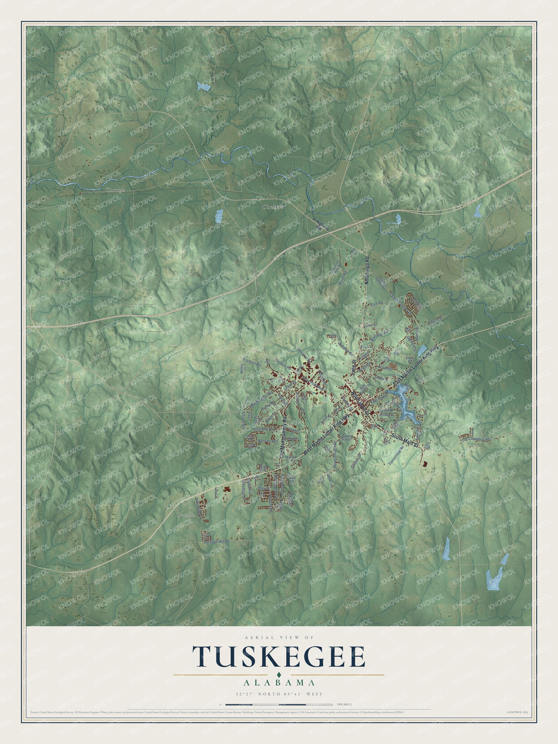
Street and place names on the Tuskegee, Alabama map
These names are printed on the map of Tuskegee, Alabama.
Places: Clough, Seasha and Chehaw.
Streets and roads: Lane Street, North Main Street, South Main Street, West Martin Luther King Highway, East Martin Luther King Highway, Old Montgomery Road, Notasulga Road, Hospital Road, Ashdale Road, Old Columbus Road, Vaughn Street, Gomillion Street.
More street names, A to Z
Alabama Avenue, Al Highway 199, Anona Street, Ash Lane, Auburn Street, Avant Street, Barrack Street, Barrow Street, Benson Avenue, Bibb Street, Brewer Street, Brown Street, Campbell Drive, Campus Road, Cedar Street, Central Avenue, Chanault Drive, Chappie James Avenue, Chappie James Drive, Chris Circle, Clements Street, Cole Street, Colvert Street, Daly Street, Dryer Lane, East Oak Street, East Spring Street, Eich Road, Ellison Avenue, Ethel Street, Fonville Street, Fords Circle, Foye Avenue, Franklin Road, Freddie Drive, Gaillard Drive, Gail Street, Gautier Street, Gay Street, Georgia Street, Gregg Avenue, Gunn Avenue, Haggins Street, Hajack Drive, Hanna Street, Heritage Hill Road, Highland Hill Drive, Howard Road, Hunter Street, Industrial Park Road, Johnson Street, Lacey Street, Lakeshore Drive, Lakeview Drive, Laslie Street, Lennard Avenue, Lilly Lane, Logan Street, Lon Street, Lula Street, Macon Drive, Maywood Street, Mill Drive, Mizell Road, Motley Lane, Nancy Street, Northeast Brothers Drive, Olduvai Boulevard, Omar Drive, Patterson Street, Payton Drive, Penny Street, Porter Drive, Pruitt Avenue, Railroad Avenue, Ridge Street, Rush Drive, Scott Street, South Church Street, Sullins Drive, Susie Circle, Taylor Street, Thornton Street, Tomorrrow Road, University Avenue, Wash Avenue, Washington Avenue, Washington Street, Webb Avenue, West Outer Drive, White Street, Williams Street, Wright Street.
See the Tuskegee, Alabama map on a wall
The Tuskegee map as an 18 x 24 inch print in a black frame.

This beautifully detailed map of Tuskegee makes an attractive addition to your office, library, or den, and it can even be used to teach children the geography and history of the area. It also makes a great gift for someone who left Tuskegee and still calls it home. When you’re done exploring, click here to get your copy of the Tuskegee map.