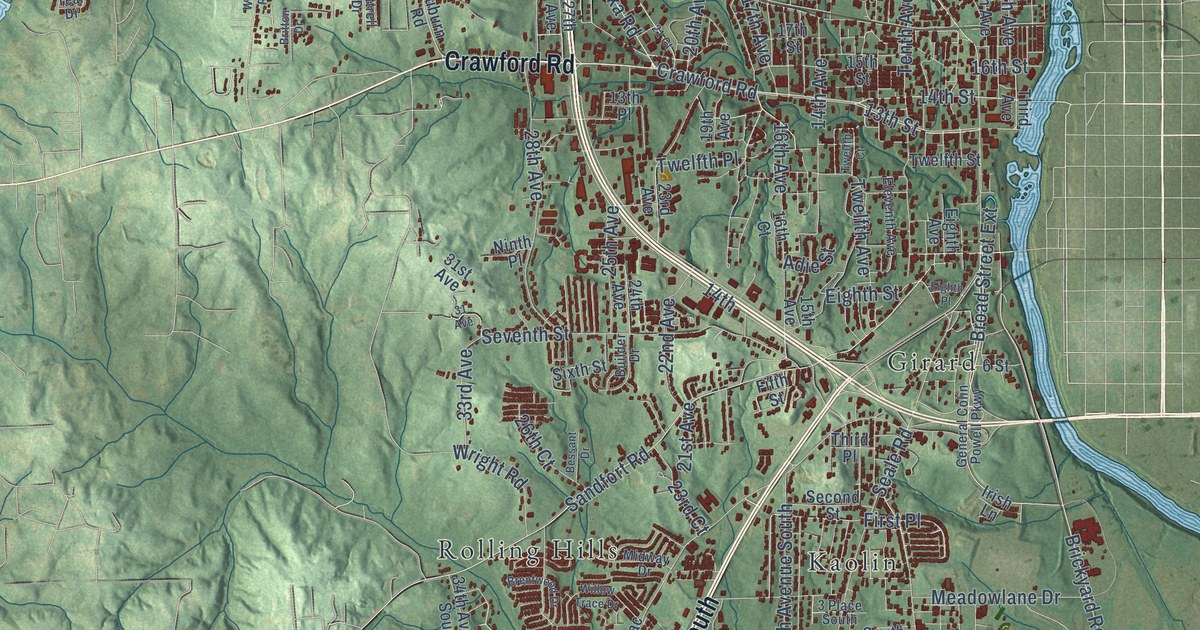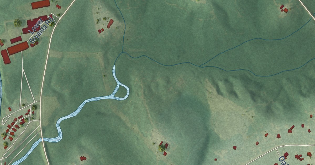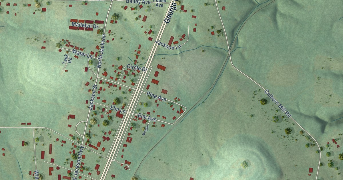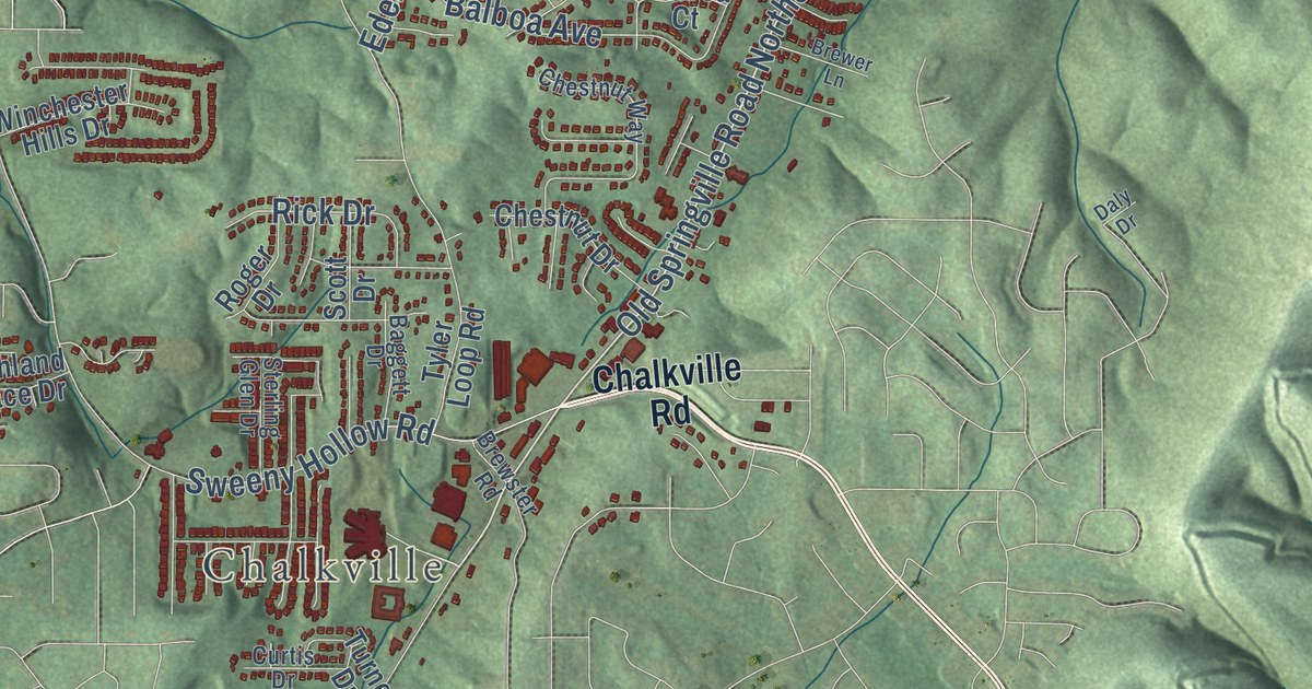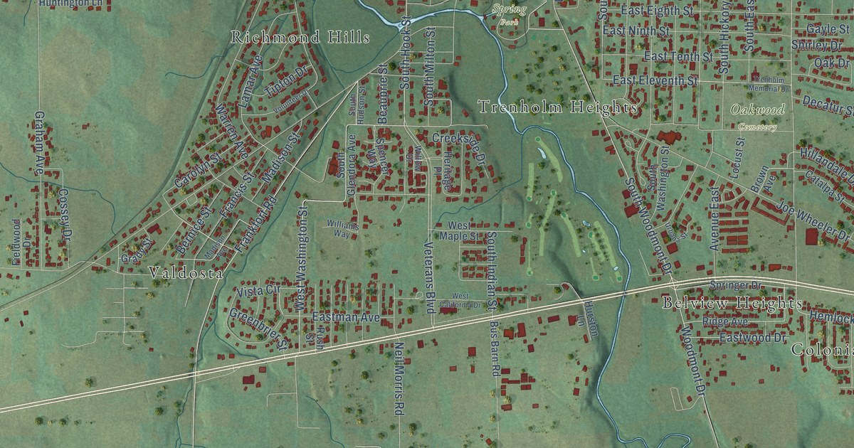
This beautifully detailed map of Tuscumbia, Alabama was created in 2026 using aerial imagery combined with modern topographical, census, street and landmark data. It’s a one-of-a-kind view of Tuscumbia that combines accurate data with a vintage aesthetic. The map shows every building in its true location, many of the roads carry their names, and the shaded topographic relief shows the shape of the land.
Explore an aerial view of Tuscumbia, Alabama
On the map you’ll find Oakwood Cemetery, Spring Park, Belview Heights, Colonial Heights, Manor Haven, Richmond Hills, South Sheffield, Trenholm Heights, and Valdosta, along with Woodward Avenue, East Lee Highway, South Hook Street, and more. If you look closely you can even find your house accurately drawn in its correct location. Zoom in on the preview to look for yours.
Did you know this piece of Tuscumbia, Alabama history?
From Encyclopediaofalabama.org: "U.S. senator and notable jurist Howell Heflin (1921-2005) grew up in Tuscumbia, and Robert Burns Lindsay (1824-1902), who served as governor from 1870 to 1872, spent much of his professional life in the city."
Take a closer look at the Tuscumbia map
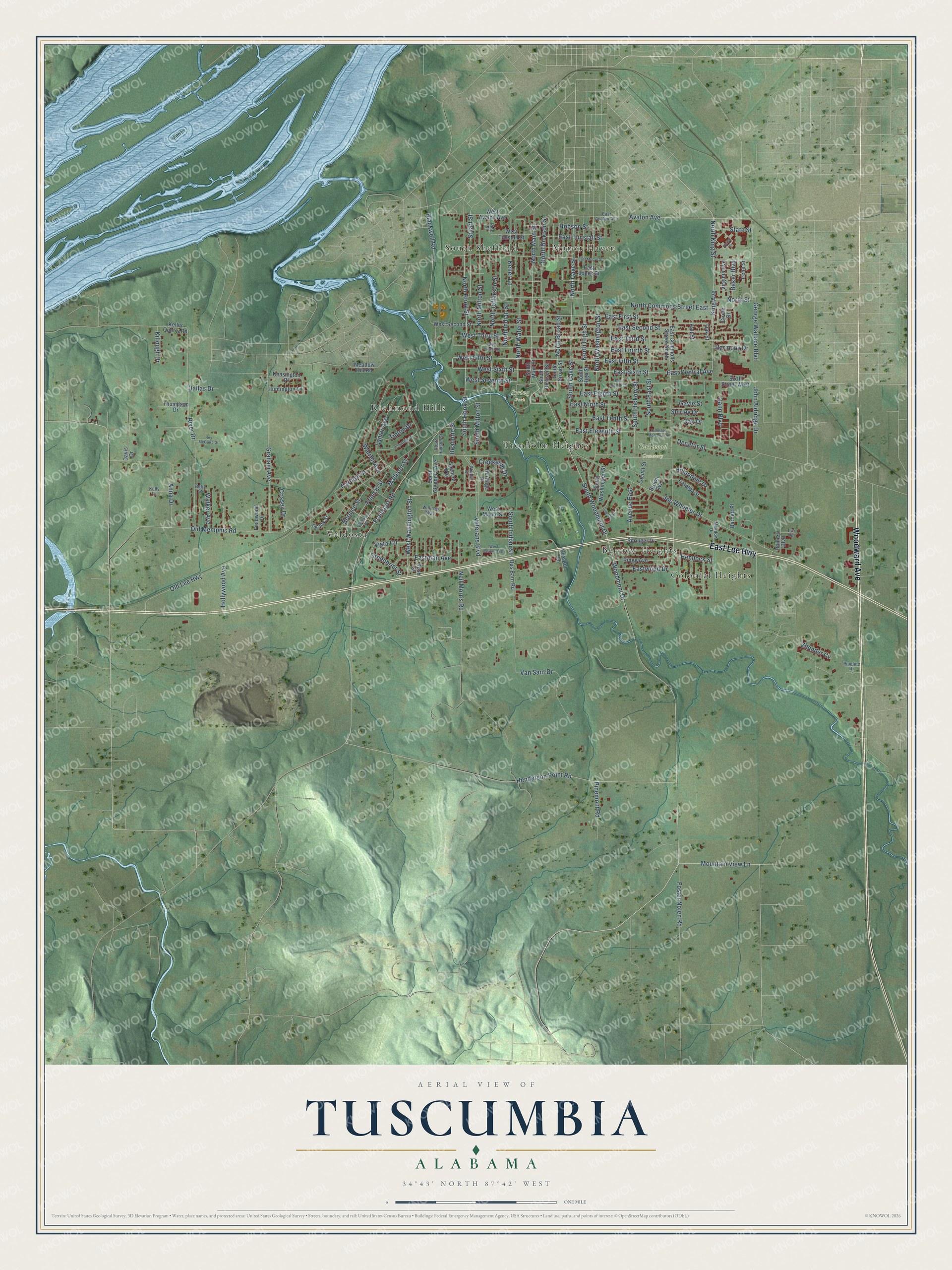
Street and place names on the Tuscumbia, Alabama map
These names are printed on the map of Tuscumbia, Alabama.
Places: Oakwood Cemetery, Spring Park, Belview Heights, Colonial Heights, Manor Haven, Richmond Hills, South Sheffield, Trenholm Heights and Valdosta.
Streets and roads: Woodward Avenue, East Lee Highway, South Hook Street, North Hook Street, North Main Street, East Ninth Street, West Washington Street, West Fifth Street, East Sixth Street, West Sixth Street, Avalon Avenue, Woodmont Drive.
More street names, A to Z
Anna Drive, Avenue East, Baker Boulevard, Barnett Place, Beauprie Street, Bernice Street, Betty Street, Blackwell Road, Brown Avenue, Bus Barn Road, Carolyn Street, Catalpa Street, Circle Drive, Cossey Drive, Creekside Drive, Dallas Drive, Davis Drive, Decatur Street, East Avalon Avenue, East Central Avenue, East Commons Street North, East Eighth Street, East Eleventh Street, East Fifth Street, East First Street, East Fourth Street, East Jones Street, Eastman Avenue, East Moore Street, East Second Street, East Seventh Street, East Tenth Street, East Third Street, East Tunstall Street, Eastwood Drive, Fieldwood Drive, Foster Nolen Road, Francis Street, Frankfort Road, Gann Boulevard, Gayle Street, George Wallace Boulevard, Grady Street, Graham Avenue, Greenbrier Street, Harmony Drive, Helen Drive, Hemlock Street, Henderson Point Road, Heritage Place, Hillandale Drive, Hobson Street, Hollywood Avenue, Holmes Boulevard, Huntington Lane, Hurston Lane, Irene Street, Joe Wheeler Drive, John Aldridge Drive, Kalt Street, Keller Lane, Keller Quarry Road, Kelly Lane, Kensington Place, Killough Drive, King Avenue, Lamar Avenue, Locust Street, Lyn Lane, Madison Avenue, Madison Street, Meadow Drive, Meadow Hill Road, Mountain View Lane, Neil Morris Road, North Broad Street, North Cave Street, North Commons Street East, North Dickson Street, North High Street, North Indian Street, North Jefferson Street, North King Street, North Milton Street, North Street, North Washington Street, North Water Street, Oak Drive, Oak Street, Old Lee Highway, Old Memphis Road, Pinemont Road, Pine Street, Pipeline Drive, Ridge Avenue, River Drive, Roy McGuire Drive, Rush Street, Shirley Drive, Sixth Street West, South Broad Street, South Cave Street, South Dickson Street, South East Street, South Glendora Avenue, South Hickory Street, South High Street, South Hudson Street, South Indian Street, South Main Street, South Milton Street, South Washington Street, South Woodmont Drive, Spencer Way, Springer Drive, State Street, Stuart Street, Thompson Drive, Tipton Drive, Trenholm Memorial Drive, Urbana Street, Van Sant Drive, Veterans Boulevard, Virginia Avenue, Vista Circle, Volunteer Drive, Walker Avenue, Warren Avenue, West Avalon Avenue, West California Drive, West Fourth Street, West Maple Street, West Second Street, West Seventh Street, West Third Street, West Tunstall Street, Williams Way, Willow Drive, Zhender Cv.
See the Tuscumbia, Alabama map on a wall
The Tuscumbia map as an 18 x 24 inch print in a black frame.

This beautifully detailed map of Tuscumbia makes an attractive addition to your office, library, or den, and it can even be used to teach children the geography and history of the area. It also makes a great gift for someone who left Tuscumbia and still calls it home. When you’re done exploring, click here to get your copy of the Tuscumbia map.